Pacific Crest Trail: WA Section 6

Trail Facts
- Distance: 60.1
Waypoints
PCT1521
Location: 46.8719902038574, -121.515769958496
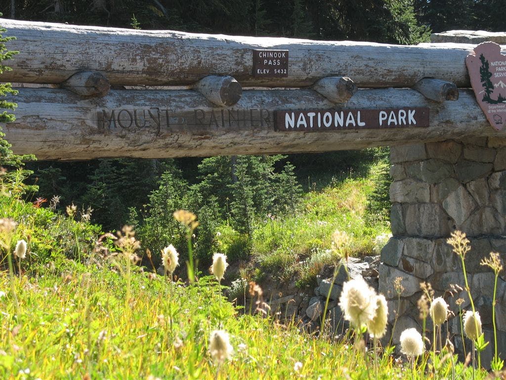
Turn R @ WA 410/Chinook Pass/Mt. Rainier NP sign
PCT1522
Location: 46.8750610351562, -121.517883300781
Pass trailhead parking with restrooms
PCT1523
Location: 46.8939514160156, -121.502380371094
Pass Sheep Lake; no other campsites until Scout Pass
PCT1524
Location: 46.9011497497559, -121.500053405762
Head NE from Sourdough Gap
PCT1525
Location: 46.916633605957, -121.472396850586
Head N from Bear Gap; many trails intersect path
PCT1526
Location: 46.9216156005859, -121.460929870605
Continue straight, heading E
PCT1527
Location: 46.923168182373, -121.45378112793
Turn sharp L below Crown Point
PCT1528
Location: 46.9270324707031, -121.45686340332
Blue Bell Pass (no camping on this ridge). Look to the W for views overlooking Crystal Mountain Ski Area
PCT1529
Location: 46.9286651611328, -121.458534240723
Stay R @ Y
PCT1530
Location: 46.9501152038574, -121.453117370605
Walk through flat terrain; possible camps
PCT1531
Location: 46.9514503479004, -121.453247070312
Head NE from Scout Pass (horse hitch and campspots)
PCT1532
Location: 46.9556503295898, -121.449317932129
Stay L on ridge @ jct. where Beeline Trail heads SE into Basin Lake
PCT1533
Location: 46.9586181640625, -121.448051452637
Stay straight @ jct.
PCT1534
Location: 46.9616165161133, -121.453086853027
Pass Big Crow Basin spring; no good camping here
PCT1535
Location: 46.9622344970703, -121.452964782715
Stay straight
PCT1536
Location: 46.9629173278809, -121.452499389648
Pass a campsite
PCT1537
Location: 47.0126152038574, -121.405899047852
Bear R @ Y
PCT1538
Location: 47.0186500549316, -121.398170471191
Stay L @ jct.
PCT1539
Location: 47.0373840332031, -121.394035339355
Cross barely flowing creeklet
PCT1540
Location: 47.0496482849121, -121.383697509766
Travel N from Louisiana Saddle
PCT1541
Location: 47.0811500549316, -121.385803222656
Stay straight
PCT1542
Location: 47.081916809082, -121.388313293457
Continue heading NW toward Government Meadow
PCT1543
Location: 47.0888252258301, -121.396385192871
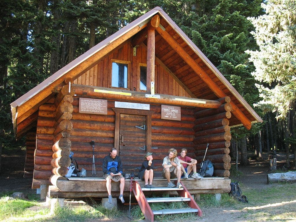
Relax @ Camp Urich to the W of Government Meadow. You’ll find a nice cabin with sleeping loft, agressive robber jays that will land on your finger and a good creek
PCT1544
Location: 47.0894012451172, -121.395782470703
Pass dirt road parking area
PCT1545
Location: 47.0999488830566, -121.397270202637
Trail tread resumes
PCT1546
Location: 47.1028175354004, -121.399353027344
Pass dirt road dead end
PCT1547
Location: 47.1064987182617, -121.403129577637
Follow trail around Pyramid Peak’s W slopes
PCT1548
Location: 47.1314010620117, -121.389183044434
Pass a spring and campsite
PCT1549
Location: 47.1321487426758, -121.387336730957
Cross dirt road
PCT1550
Location: 47.1383171081543, -121.367935180664
Dirt road crossing
PCT1551
Location: 47.1330680847168, -121.331100463867
Cross dirt road
PCT1552
Location: 47.1352500915527, -121.320182800293
Cross dirt road
PCT1553
Location: 47.1484336853027, -121.299598693848
Stay straight @ jct.; head NW
PCT1554
Location: 47.1793327331543, -121.312202453613
Trail curves to the NE
PCT1555
Location: 47.1988983154297, -121.310882568359
Cross dirt road
PCT1556
Location: 47.2051582336426, -121.310256958008
Cross Tacoma Pass. Refill water bottles: Fill up at a spring 2-4 min. W of this switchback;
More PCT: Next Section | Previous Section
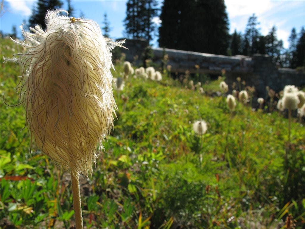
Flora in detail
Location: 46.8772811889648, -121.519424438477
©Jack Haskel
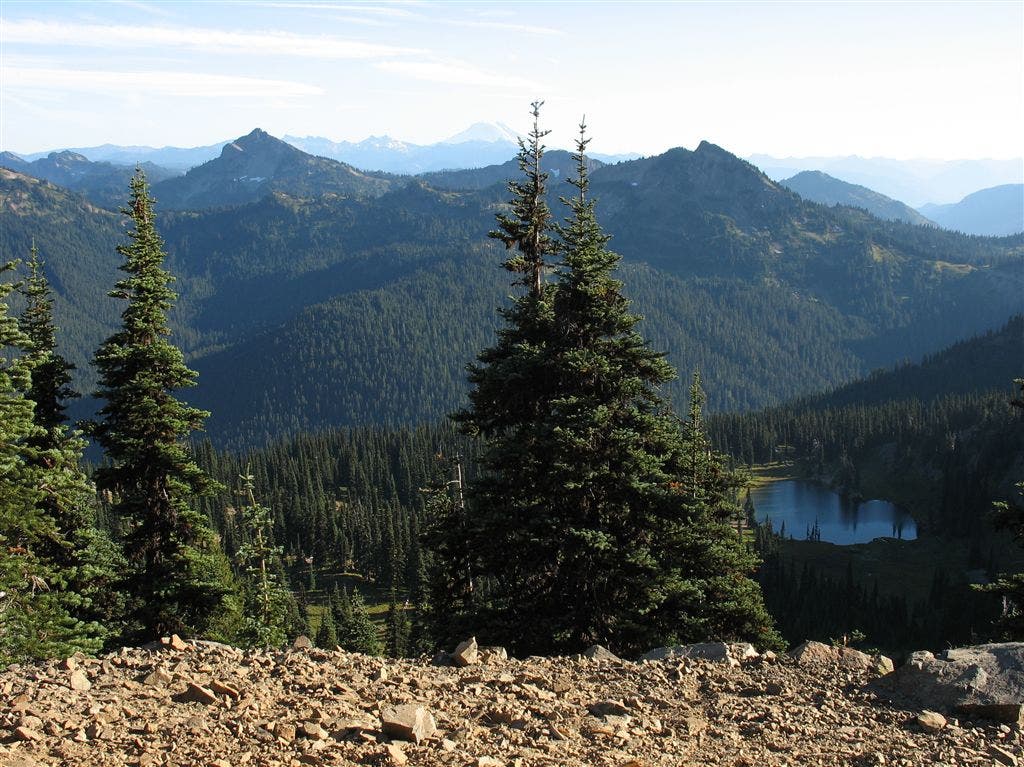
Ridge view
Location: 46.9056663513184, -121.498695373535
©Jack Haskel
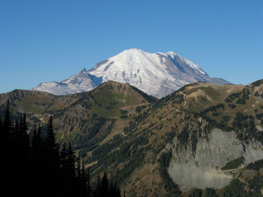
Rainier
Location: 46.9390029907227, -121.453643798828
©Jack Haskel
Mt. Rainier NP and Chinook Pass Sign
Location: 46.8719902038574, -121.514823913574
©Jack Haskel
Camp Urich
Location: 47.0880889892578, -121.395751953125
Camp Urich sits to the west of Government Meadow ©Jack Haskel