Pacific Crest Trail: WA Section 3

Trail Facts
- Distance: 72.7
Waypoints
PCT1418
Location: 46.1246185302734, -121.753868103027
Cross paved road
PCT1419
Location: 46.1253318786621, -121.751663208008
Cross outlet of Big Mosquito Lake
PCT1420
Location: 46.1260986328125, -121.750396728516
Pass a large campsite
PCT1421
Location: 46.1255836486816, -121.740631103516
Pass a spring
PCT1422
Location: 46.1252822875977, -121.739166259766
Pass another spring
PCT1423
Location: 46.1238174438477, -121.734031677246
Cross a creek
PCT1424
Location: 46.1265487670898, -121.715049743652
Cross a creek flowing from Steamboat Lake to the N
PCT1425
Location: 46.1348152160644, -121.690986633301
Cross paved road
PCT1426
Location: 46.1333351135254, -121.684730529785
Cross Trout Lake Creek; pass nice campsites
PCT1427
Location: 46.1318168640137, -121.661972045898
Cross dirt road
PCT1428
Location: 46.1618995666504, -121.632217407227
Cross a dirt and paved road
PCT1429
Location: 46.1623649597168, -121.63159942627
Cross creek
PCT1430
Location: 46.1701011657715, -121.628036499023
Cross dirt road
PCT1431
Location: 46.1730155944824, -121.626586914062
Cross a swampy creek
PCT1432
Location: 46.1859512329102, -121.62149810791
Cross creek
PCT1433
Location: 46.1806144714356, -121.575759887695
Stay L
PCT1434
Location: 46.1796340942383, -121.568664550781
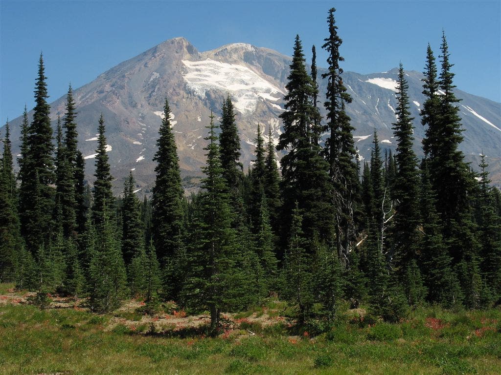
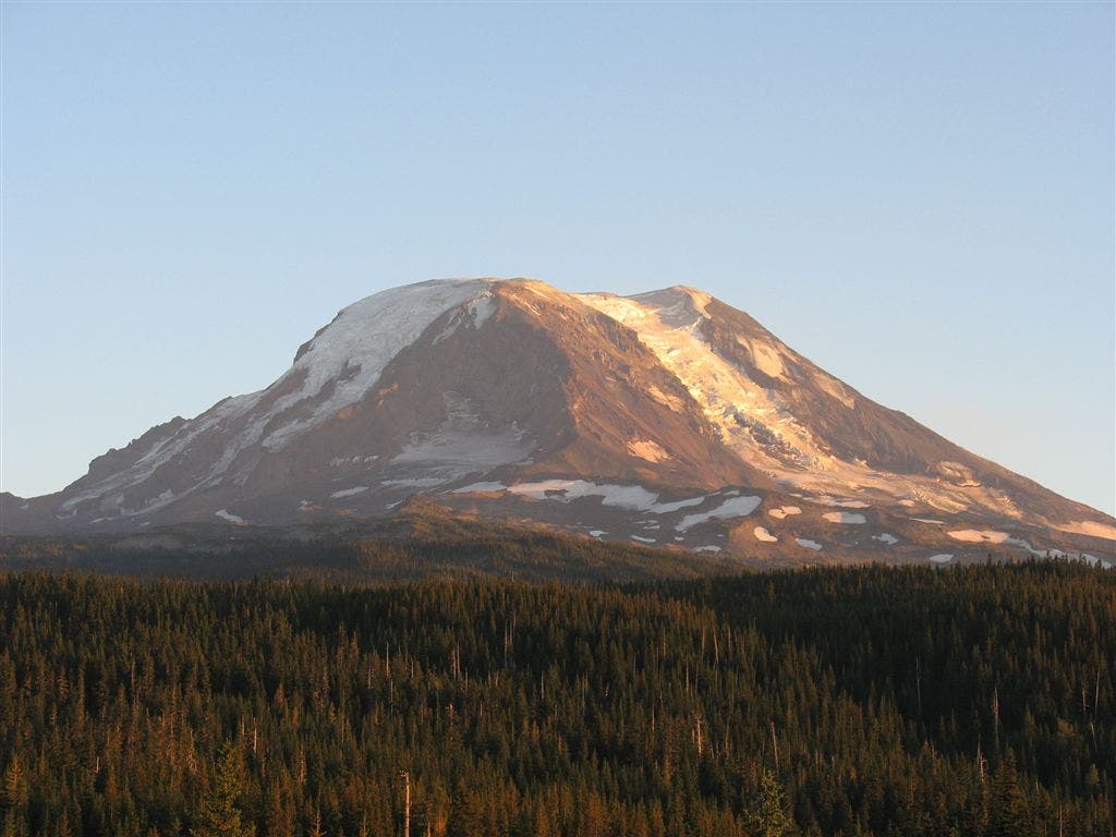
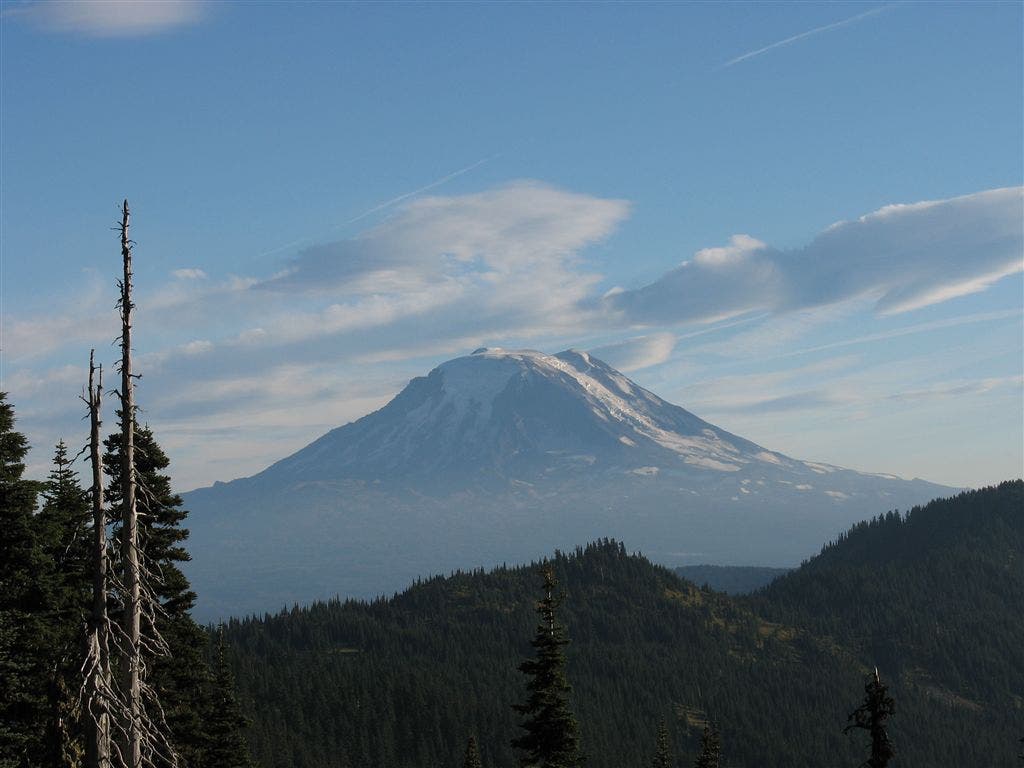
Turn L @ trail jct.; superb views of Mt. Adams to the NE.
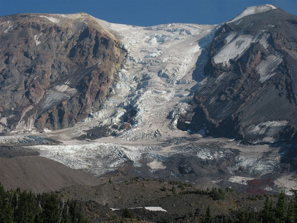
Spend some time at Horseshoe Meadows to the NE, a large meadow with a trickling creek during the early season (It’s likely dry in the late summer, so don’t expect to find water). Pockets of trees create secluded camps; superb up close views of the S side of Mt. Adams and the White Salmon Glacier. A good basecamp for further exploration N on the PCT or around Mt. Adams.
PCT1435
Location: 46.1794013977051, -121.567100524902
Beautiful camp (no water) @ S end of Horseshoe Meadow with views of Mt. Adams to the NE
PCT1436
Location: 46.1794013977051, -121.563285827637
Another campsite
PCT1437
Location: 46.212516784668, -121.570602416992
Decent camp @ Sheep Lake, which dries up by mid-August. Riley Creek to the N may be a better source of water
PCT1438
Location: 46.2130508422852, -121.568496704102
Cross Riley Creek; water is somewhat silty tasting, but clear; quality varies
PCT1439
Location: 46.214900970459, -121.567749023438
Spur on L leads to Riley Camp
PCT1440
Location: 46.2155990600586, -121.566780090332
Cross creeklet
PCT1441
Location: 46.2168350219727, -121.565414428711
Cross creeklet
PCT1442
Location: 46.237434387207, -121.548530578613
Cross Lewis River; water is silty
PCT1443
Location: 46.2404327392578, -121.545783996582
Stay straight
PCT1444
Location: 46.2412376403809, -121.54467010498
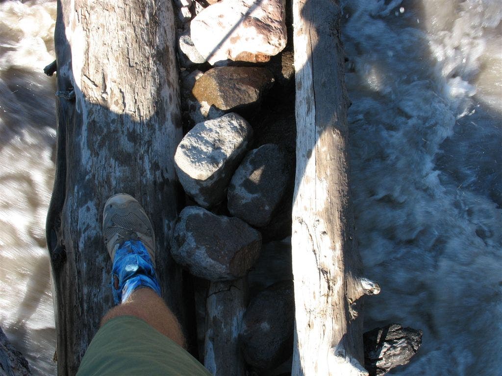
Cross Adams Creek; muddy water is not good for drinking.
PCT1445
Location: 46.2508163452148, -121.53296661377
Stay straight @ jct.; trail curves to the NE
PCT1446
Location: 46.2554168701172, -121.522018432617
Cross Killen Creek; great campsites. Head to the NE and leave behind close-up views of Mt. Adams
PCT1447
Location: 46.2566337585449, -121.519134521484
Go L @ Highline Trail jct.
PCT1448
Location: 46.2836990356445, -121.50513458252
Stay straight @ jct. with Muddy Meadows Trail
PCT1449
Location: 46.3005599975586, -121.504898071289
Cross creeklet
PCT1450
Location: 46.3022346496582, -121.504669189453
Cross Muddy Fork; muddy water is not good to drink
PCT1451
Location: 46.304931640625, -121.51180267334
Cross creek; good water
PCT1452
Location: 46.3051338195801, -121.512832641602
Pass forested campsite along the creek with space for approx. 4 tents
PCT1453
Location: 46.3050346374512, -121.517852783203
Set up camp at Lava Spring; space for many tents. Lava Spring flows out from a lava field; one of the best, highest flow springs on the whole trail.
PCT1454
Location: 46.3252830505371, -121.506233215332
Cross gravel road
PCT1455
Location: 46.3503684997559, -121.517784118652
Cross dirt road
PCT1456
Location: 46.3530502319336, -121.520851135254
Cross creek
PCT1457
Location: 46.3559494018555, -121.518814086914
Cross Midway Creek; pass campsite
PCT1458
Location: 46.3641014099121, -121.508682250977
Creek crossing
PCT1459
Location: 46.3958511352539, -121.485382080078
Turn R onto Coleman Weedpatch Trail
PCT1460
Location: 46.3892669677734, -121.451187133789
Cross creek with a campsite
PCT1461
Location: 46.4102821350098, -121.403114318848
Go straight @ Walnut Lake Trail jct.
PCT1462
Location: 46.4561653137207, -121.420402526855
Cross dry Walupt Creek
PCT1463
Location: 46.453067779541, -121.431396484375
Sheep Lake has very nice camping, good swimming and views towards Mt. Adams. To leave PCT, take Nannie Ridge Trail to nearby Walupt Lake. To continue on PCT, head N.
More PCT: Next Section | Previous Section
Mt. Adams
Location: 46.1797370910644, -121.568923950195
©Jack Haskel
Adams Creek Crossing
Location: 46.2411346435547, -121.544044494629
©Jakc Haskel
Glacier Close Up
Location: 46.2339630126953, -121.553192138672
©Jack Haskel
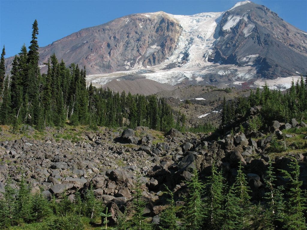
Rockpile and Glacier
Location: 46.2339630126953, -121.553192138672
©Jack Haskel
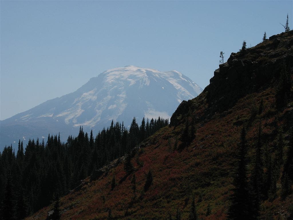
Mount Adams Long View
Location: 46.3154296875, -121.513496398926
©Jack Haskel
Adams over a ridge
Location: 46.3561630249023, -121.518272399902
©Jack Haskel
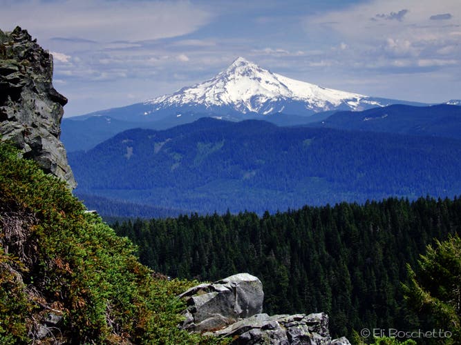
Mount Hood
Location: 46.2094421386719, -121.572875976562
Left behind in Oregon, Mount Hood still hangs on the horizon. ©Jack Haskel
Rainier in the foreground
Location: 46.2077789306641, -121.57007598877
Ahead lies Rainier. ©Jack Haskel
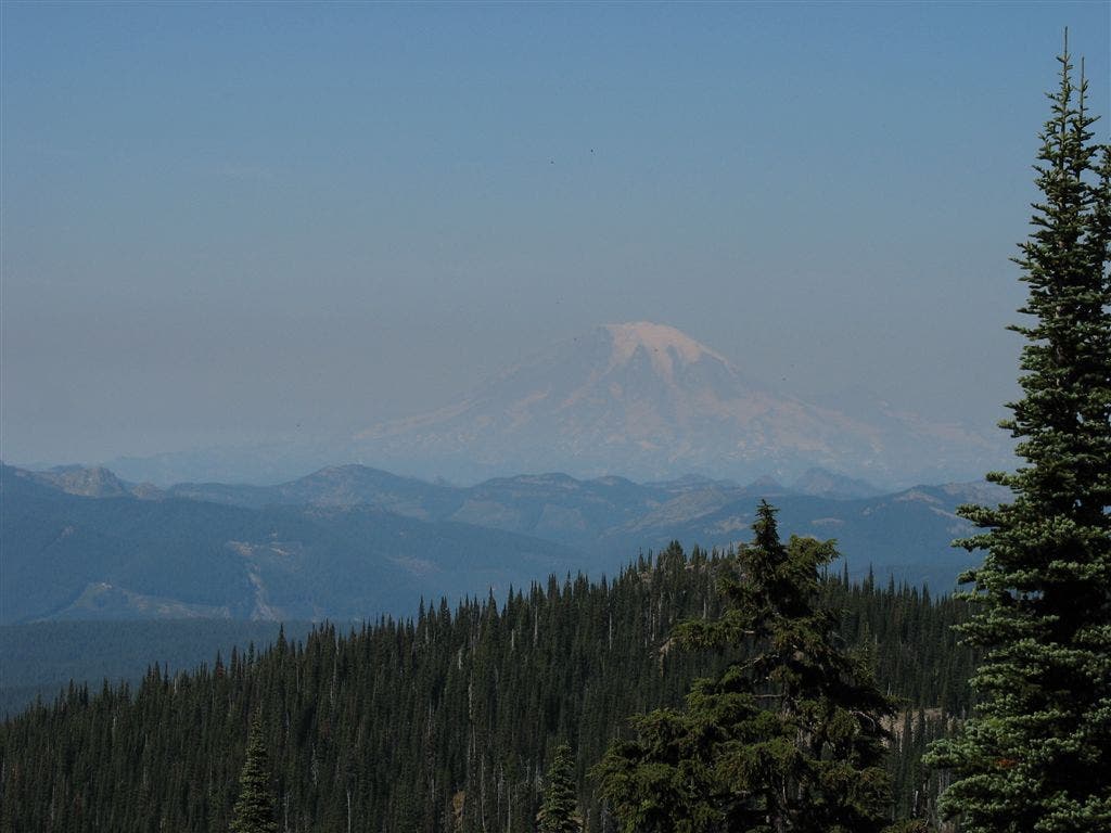
Adams from afar
Location: 46.3989601135254, -121.467460632324
©Jack Haskel
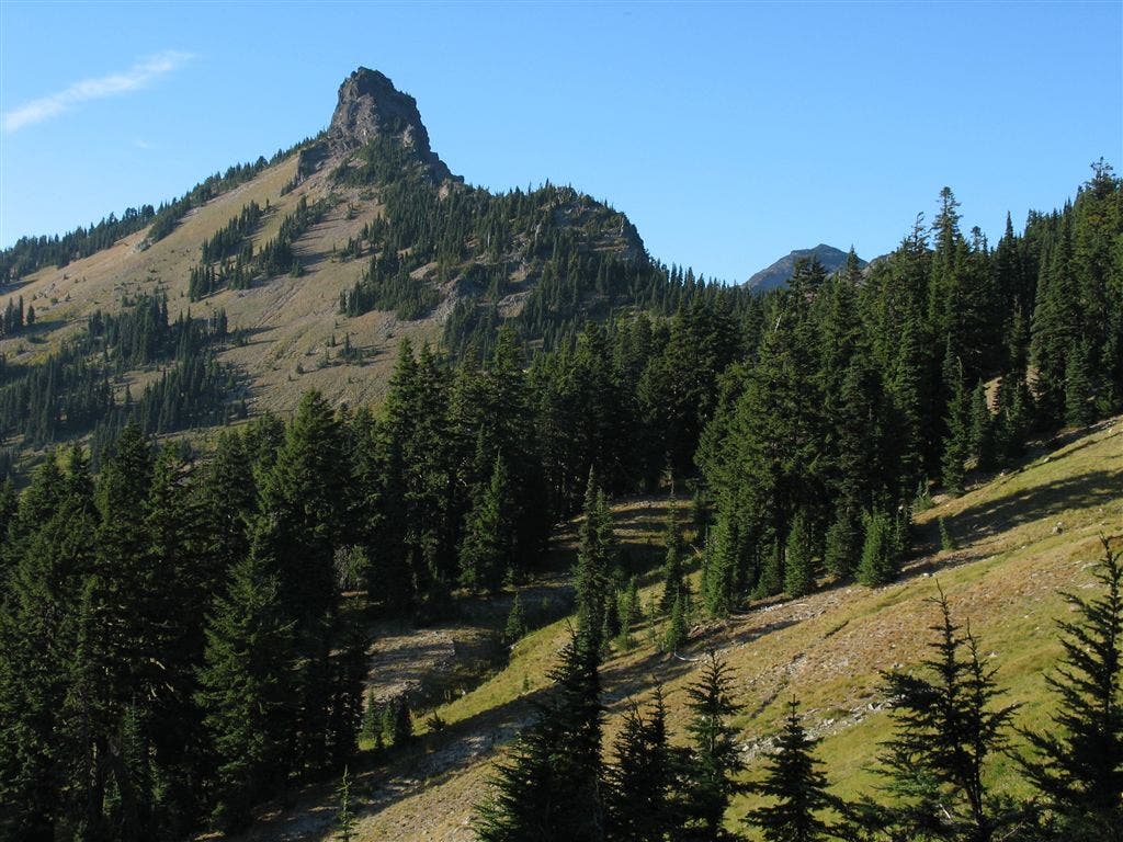
Crumbly peak
Location: 46.3989601135254, -121.428207397461
©Jack Haskel
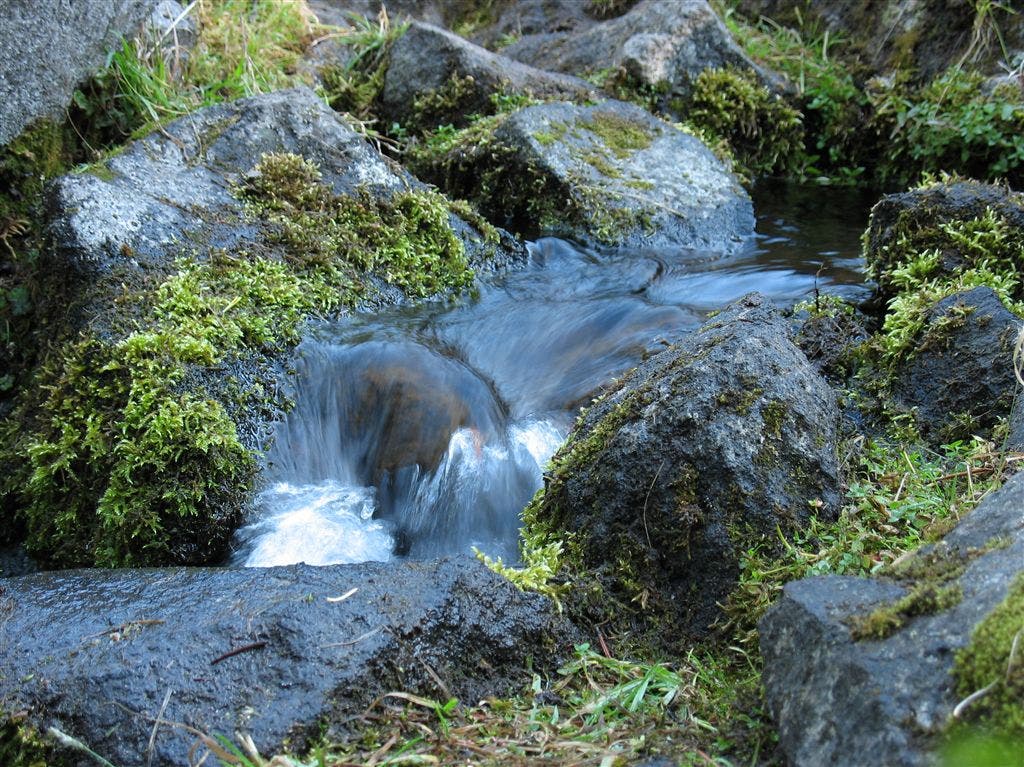
Lava Spring
Location: 46.3046188354492, -121.518218994141
Lava Spring flows out from a lava field; one of the best, highest flow springs on the whole trail. ©Jack Haskel