Pacific Crest Trail: WA Section 2


Trail Facts
- Distance: 54.2
Waypoints
PCT1390
Location: 45.8207511901856, -121.913330078125
Cross paved road; head R if you want to visit Stabler’s County Store
PCT1391
Location: 45.8216171264648, -121.903114318848
Cross dirt road
PCT1392
Location: 45.8173675537109, -121.881683349609
Cross paved road
PCT1393
Location: 45.8180160522461, -121.877830505371
Cross bridge over Panther Creek. Campground: Follow spur on L to Panther Creek Campground
PCT1394
Location: 45.8201675415039, -121.876846313477
Panther Creek Campground
PCT1395
Location: 45.825382232666, -121.851699829102
Cross dirt road
PCT1396
Location: 45.8283157348633, -121.836418151855
Cross dirt road
PCT1397
Location: 45.8410682678223, -121.798080444336
Stay straight
PCT1398
Location: 45.8428649902344, -121.797080993652
Pass large, open campsite
PCT1399
Location: 45.8466987609863, -121.787384033203
Bear L @ Grassy Knoll Trail jct.
PCT1400
Location: 45.866268157959, -121.786865234375
Campsite with a reliable spring
PCT1401
Location: 45.8802490234375, -121.788917541504
Stay straight @ jct.
PCT1402
Location: 45.884334564209, -121.782135009766
Campsite with table and firepit
PCT1403
Location: 45.8863983154297, -121.781280517578
Pass a trickling piped spring
PCT1404
Location: 45.9088821411133, -121.80241394043
Cross road and pass campground
PCT1405
Location: 45.9290008544922, -121.800064086914
Head NW between Sheep Lakes
PCT1406
Location: 45.9458999633789, -121.812217712402
Indian Race Track: The loop trail veering to the L was an old Indian horse race track. Today, the bushes make it difficult to find a campsite
PCT1407
Location: 45.9834518432617, -121.796401977539
Set up camp around Blue Lake
PCT1408
Location: 45.9835166931152, -121.795936584473
Stay straight @ jct. with Tombstone Lake Trail
PCT1409
Location: 45.9837684631348, -121.795799255371
Stay straight @ jct.; head N
PCT1410
Location: 46.0035820007324, -121.788749694824
Bear L and head N toward Junction Lake
PCT1411
Location: 46.0048484802246, -121.789115905762
Straight @ jct.
PCT1412
Location: 46.0179328918457, -121.787612915039
Bear L; trail skirts the edge of Bear Lake’s E shore
PCT1413
Location: 46.0248184204102, -121.786430358887
Continue N; pass Deer Lake
PCT1414
Location: 46.0374336242676, -121.786582946777
Stay straight @ jct. with trail that veers L to Placid Lake
PCT1415
Location: 46.046215057373, -121.778198242188
Bear L @ Cultus Creek Trail jct.
PCT1416
Location: 46.0606155395508, -121.774047851562
Veer L @ Sawtooth Mtn. Trail jct.
PCT1417
Location: 46.0918159484863, -121.765983581543
Cross dirt road; walk through thick huckleberry patches
PCT1418
Location: 46.1246185302734, -121.753868103027
Cross paved road;
More PCT: Next Section | Previous Section
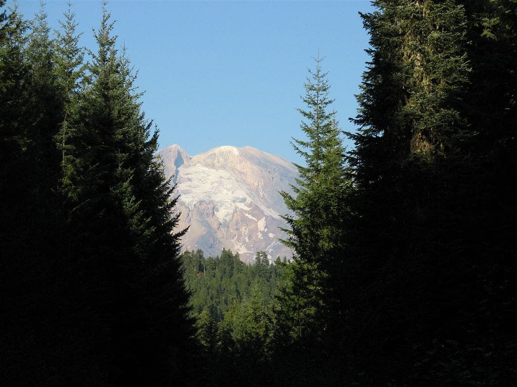
Adams through the pines
Location: 46.01904296875, -121.80207824707
©Jack Haskel