Pacific Crest Trail: WA Section 12


Trail Facts
- Distance: 41.1
Waypoints
PCT1715
Location: 48.5183486938477, -120.732917785645
From Rainy Pass, head N on PCT
PCT1716
Location: 48.5259170532227, -120.731086730957
Cross creek
PCT1717
Location: 48.5444831848144, -120.722953796387
Pass waterfall
PCT1718
Location: 48.5520324707031, -120.709182739258
Nice camp below Cutthroat Pass
PCT1719
Location: 48.5550384521484, -120.700286865234
Stay L @ Cutthroat Pass; savor superb views Okanogan National Forest
PCT1720
Location: 48.5690155029297, -120.686485290527
Set up camp above Granite Pass on ridge overlooking V-shaped valley to the W
PCT1721
Location: 48.5705680847168, -120.688201904297
From Granite Pass, head NNW
PCT1722
Location: 48.5855827331543, -120.718048095703
Creek crossing
PCT1723
Location: 48.58544921875, -120.72038269043
Pass spur to nice, large camp
PCT1724
Location: 48.5821990966797, -120.732864379883
N descent of Methow Pass (nice camp)
PCT1725
Location: 48.585865020752, -120.739097595215
Creek crossing
PCT1726
Location: 48.6179656982422, -120.757530212402
Cross Golden Creek
PCT1727
Location: 48.6270179748535, -120.752952575684
Cross Methow Creek; pass camp
PCT1728
Location: 48.631965637207, -120.749282836914
Cross creek
PCT1729
Location: 48.6355667114258, -120.745216369629
Head straight @ Mebee Pass Trail jct.
PCT1730
Location: 48.6483001708984, -120.708335876465
Cross Brush Creek
PCT1731
Location: 48.6480178833008, -120.707717895508
Go L @ trail jct.
PCT1732
Location: 48.663818359375, -120.731246948242
Pass camp
PCT1733
Location: 48.6700668334961, -120.717933654785
Walk N on ridge top
PCT1734
Location: 48.6744346618652, -120.718482971191
Pass a great camp
PCT1735
Location: 48.6832160949707, -120.705596923828
Continue N; trail curves around Tatie Peak’s SE slopes. Refill water @ spring on R of trail near some camps
PCT1736
Location: 48.7023010253906, -120.673652648926
Bear L @ jct. near Rd. 500
PCT1737
Location: 48.7211685180664, -120.670234680176
Trail heads NE from Hart’s Pass and campground with bathroom;
More PCT: Next Section | Previous Section
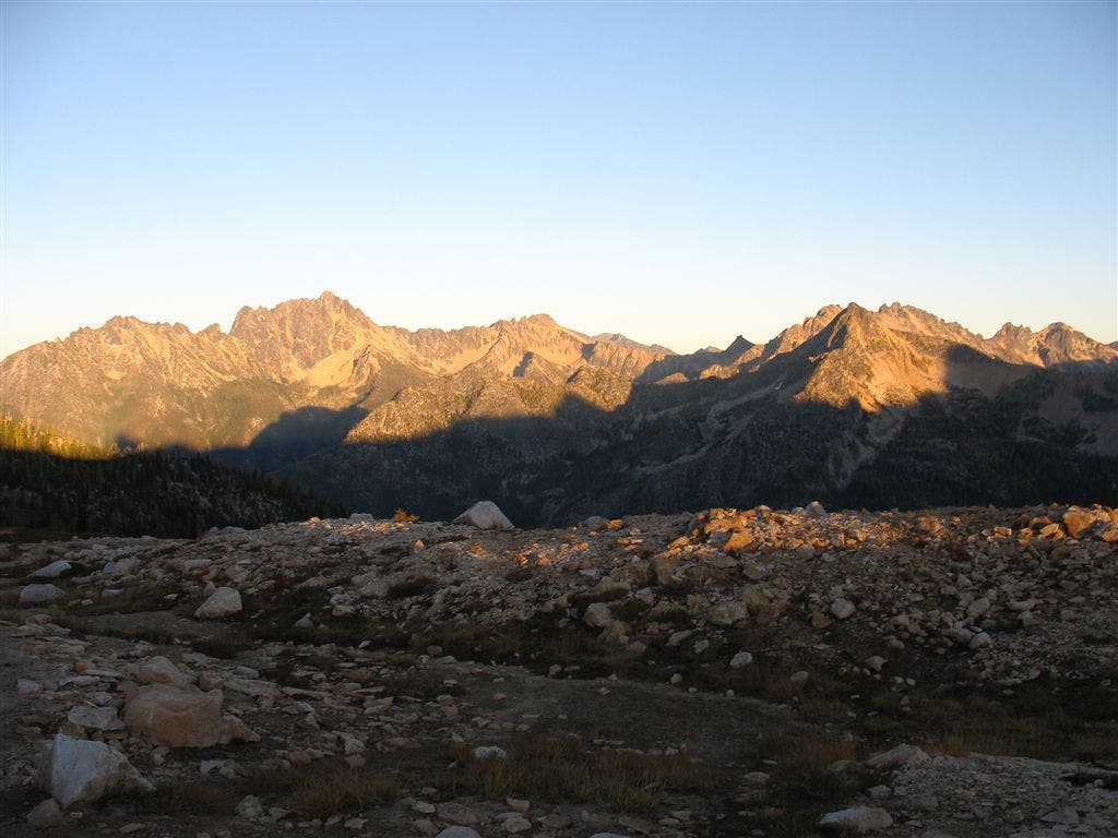
Cutthroat Pass
Location: 48.5558013916016, -120.700614929199
Northern views from Cutthroat Pass ©Jack Haskel
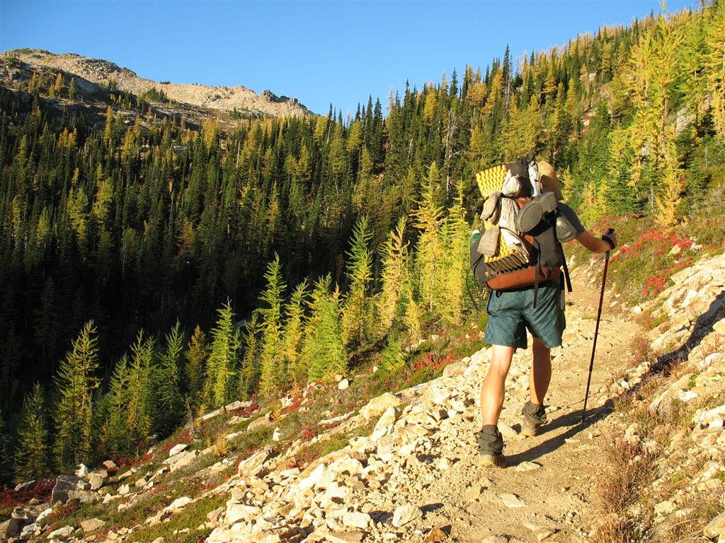
Trail to Cutthroat Pass
Location: 48.5535202026367, -120.704086303711
©Jack Haskel
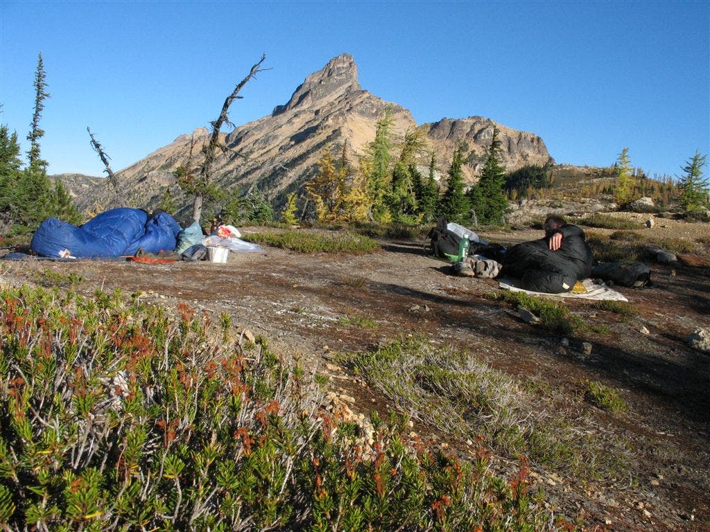
Granite Pass
Location: 48.5697746276856, -120.686866760254
Views of Granite Pass from campsite. ©Jack Haskel