Pacific Crest Trail: WA Section 11


Trail Facts
- Distance: 28.9
Waypoints
PCT1685
Location: 48.3800010681152, -120.838050842285
Pass High Bridge Ranger Station; turn L toward Coon Lake. Side trip: Catch shuttle bus into Stehekin at this point and visit the excellent Stehekin Bakery
PCT1686
Location: 48.3814659118652, -120.834815979004
Stay L
PCT1687
Location: 48.383415222168, -120.834999084473
Stay L @ trail jct.
PCT1688
Location: 48.3882484436035, -120.837249755859
Pass W banks of Coon Lake
PCT1689
Location: 48.3890342712402, -120.837699890137
Stay L @ McGregor Mtn Trail jct.
PCT1690
Location: 48.3967323303223, -120.846633911133
Pass spur to Stehekin Rd.; continue heading NNW
PCT1691
Location: 48.4028663635254, -120.85001373291
Cross McGregor Creek
PCT1692
Location: 48.4079170227051, -120.851669311523
Cross Buzzard Creek
PCT1693
Location: 48.4193344116211, -120.862800598145
Head N @ trail jct.
PCT1694
Location: 48.426082611084, -120.86311340332
Creek crossing
PCT1695
Location: 48.4290008544922, -120.867752075195
Follow the road near Bridge Creek Ranger Station and campground to the NW. NP plans to keep this road closed and turn this campground into a backcountry camping area
PCT1696
Location: 48.4321823120117, -120.871482849121
Bear R onto trail and leave road; head NNE
PCT1697
Location: 48.448600769043, -120.859413146973
Cross Berry Creek
PCT1698
Location: 48.4564514160156, -120.844215393066
Cross bridge over Bridge Creek
PCT1699
Location: 48.4573516845703, -120.843536376953
Pass North Fork Camp with privy
PCT1700
Location: 48.4573173522949, -120.840782165527
Stay straight @ North Fork Trail jct.
PCT1701
Location: 48.4641990661621, -120.816619873047
Cross Maple Creek
PCT1702
Location: 48.4639663696289, -120.785919189453
Pass spur to Six Mile Camp on R
PCT1703
Location: 48.4646148681641, -120.77165222168
Stay straight @ South Fork Trail jct.
PCT1704
Location: 48.465633392334, -120.741401672363
Pass spur to Hide-A-Way Camp
PCT1705
Location: 48.4678344726562, -120.723518371582
Bear L @ Twisp Pass Trail jct.
PCT1706
Location: 48.4832000732422, -120.708084106445
National Park Boundary
PCT1707
Location: 48.4849510192871, -120.707534790039
Cross creek
PCT1708
Location: 48.4957847595215, -120.708801269531
Creek crossing
PCT1709
Location: 48.4967651367188, -120.707420349121
Old PCT route rejoins at this point
PCT1710
Location: 48.5037994384766, -120.717552185059
Pass spur to parking lot
PCT1711
Location: 48.5038185119629, -120.717750549316
Cross Bridge Creek
PCT1712
Location: 48.5041351318359, -120.730346679688
Cross creek
PCT1713
Location: 48.5146827697754, -120.734184265137
Cross WA 20; head N toward Rainy Pass
PCT1714
Location: 48.5183486938477, -120.732917785645
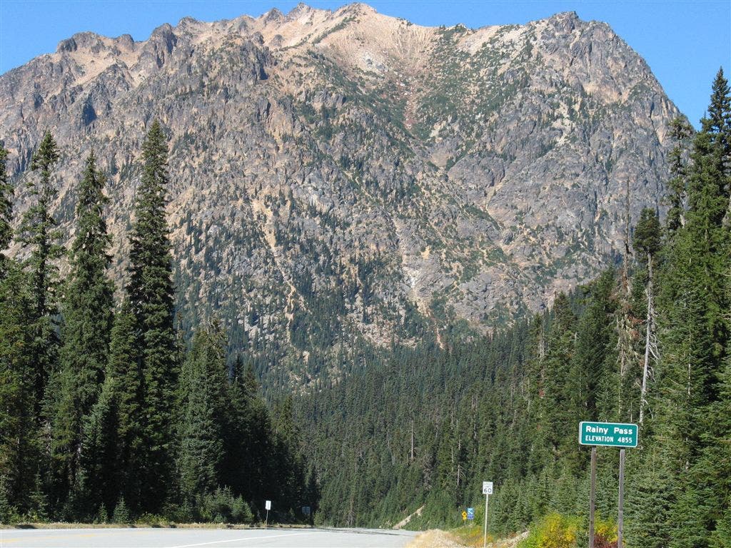
End @ Rainy Pass.
More PCT: Next Section | Previous Section
Rainy Pass
Location: 48.5162010192871, -120.733695983887
©Jack Haskel