Pacific Crest Trail: WA Section 10

Trail Facts
- Distance: 65.0
Waypoints
PCT1646
Location: 48.1223182678223, -121.177131652832
Stay straight @ jct.; head NE
PCT1647
Location: 48.1316337585449, -121.153770446777
Set up camp @ Glacier Creek
PCT1648
Location: 48.1396484375, -121.153549194336
Creek crossing
PCT1649
Location: 48.150318145752, -121.17098236084
Cross creek
PCT1650
Location: 48.1588172912598, -121.164283752441
Head N towards Fire Creek Pass
PCT1651
Location: 48.166316986084, -121.15771484375
Camp by Mica Lake’s clear blue waters
PCT1652
Location: 48.1677665710449, -121.155220031738
Cross creek
PCT1653
Location: 48.1669998168945, -121.148452758789
Cross creek; no camping
PCT1654
Location: 48.1674346923828, -121.136535644531
Creek crossing; no camping; begin switchback ascent
PCT1655
Location: 48.1562004089356, -121.111015319824
Creek crossing
PCT1656
Location: 48.1610984802246, -121.100830078125
Pass Dolly Vista camp and pit toilet
PCT1657
Location: 48.1685829162598, -121.076019287109
Pass another campsite
PCT1658
Location: 48.1834678649902, -121.049797058105
Cross Vista Creek on log
PCT1659
Location: 48.1774673461914, -121.027366638184
Turn L @ jct.
PCT1660
Location: 48.1833000183106, -121.027465820312
Cross Suiattle River
PCT1661
Location: 48.184700012207, -121.027297973633
Begin ascent through switchbacks
PCT1662
Location: 48.1840171813965, -120.976333618164
Cross creek
PCT1663
Location: 48.1845169067383, -120.972518920898
The end of the official PCT detour. Head NE toward Miners Creek
PCT1664
Location: 48.1885681152344, -120.967750549316
Pass a camp
PCT1665
Location: 48.1889343261719, -120.967903137207
Cross Miners Creek
PCT1666
Location: 48.1932182312012, -120.956169128418
Cross creek
PCT1667
Location: 48.1972846984863, -120.953231811523
Stay R; Miners Ridge Trail enters on the L
PCT1668
Location: 48.1985321044922, -120.942352294922
Stay L @ jct. with Cloudy Pass Trail
PCT1669
Location: 48.2031173706055, -120.943069458008
Camp near creek
PCT1670
Location: 48.2028503417969, -120.940116882324
Stay L @ jct. with Cloudy Pass Trail
PCT1671
Location: 48.2307815551758, -120.945137023926
Camp near creek
PCT1672
Location: 48.2398834228516, -120.957565307617
Creek crossing
PCT1673
Location: 48.2410316467285, -120.957733154297
Creek crossing
PCT1674
Location: 48.2426338195801, -120.956199645996
Trail swings to the E; spur leads to a campsite
PCT1675
Location: 48.2553482055664, -120.929718017578
Cross South Fork Agnes Creek
PCT1676
Location: 48.2563171386719, -120.928565979004
Stay straight; South Fork Agnes Creek Trail enters from the R
PCT1677
Location: 48.2573509216309, -120.926902770996
Pass Hemlock Camp
PCT1678
Location: 48.2922172546387, -120.930480957031
Pass Cedar Camp
PCT1679
Location: 48.3096351623535, -120.920379638672
Pass Swamp Creek Camp
PCT1680
Location: 48.342399597168, -120.904602050781
West Fork Agnes Creek Trail enters on L; pass Five Mile Camp
PCT1681
Location: 48.3568649291992, -120.878631591797
Creek crossing
PCT1682
Location: 48.3626327514648, -120.869598388672
Cross creek
PCT1683
Location: 48.378116607666, -120.837135314941
Cross bridge @ North Cascades NP entrance
PCT1684
Location: 48.3796005249023, -120.839569091797
Cross road and turn R
PCT1685
Location: 48.3800010681152, -120.838050842285
Pass High Bridge Ranger Station; turn L toward Coon Lake to continue on PCT. To leave PCT, catch shuttle bus into Stehekin and visit the excellent Stehekin Bakery. From Stehekin, take Lake Ferry to Chelan.
More PCT: Next Section | Previous Section
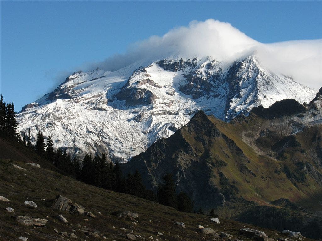
Cloud-covered peak
Location: 48.1261940002441, -121.162330627441
Hulking Glacier Peak shrouded in mist. ©Jack Haskel
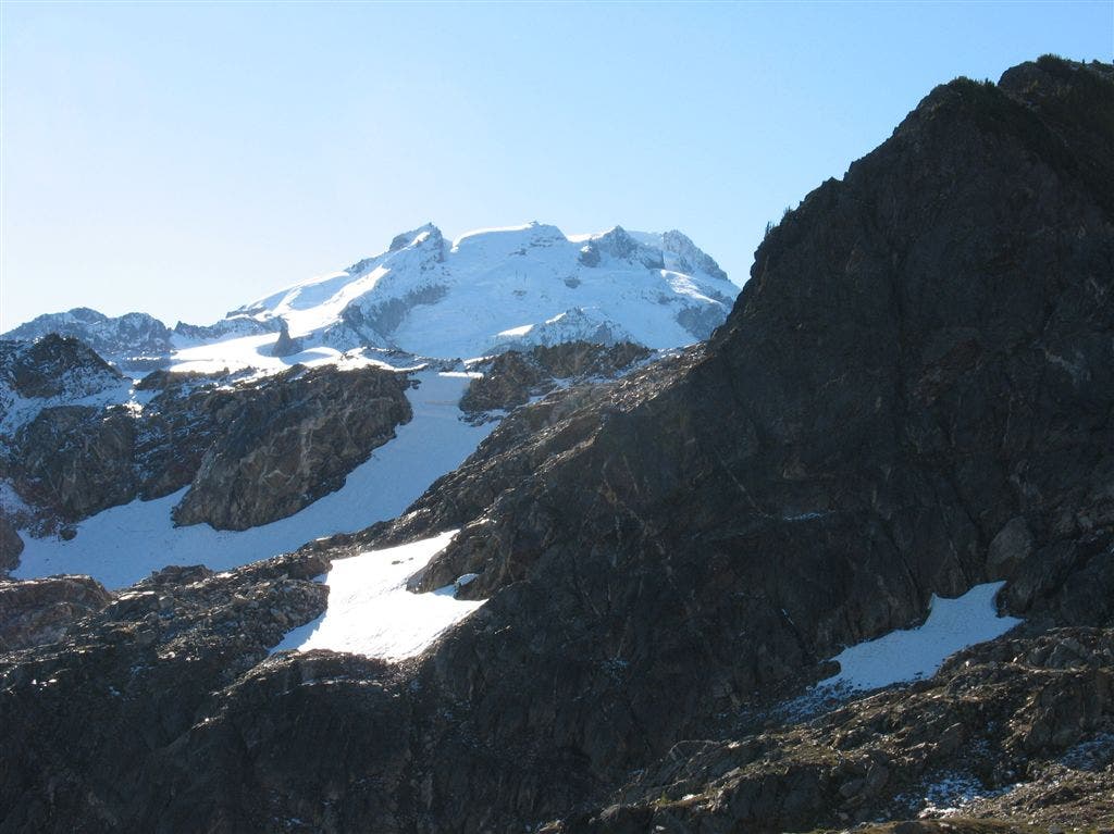
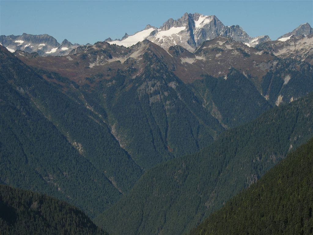
Glacier Peak from the backside
Location: 48.1616973876953, -121.160568237305
©Jack Haskel
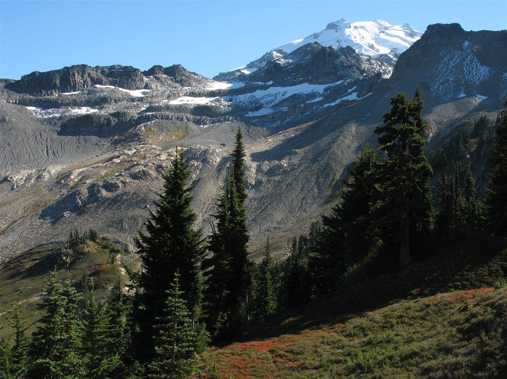
Glacier Peak
Location: 48.1630973815918, -121.155937194824
©Jack Haskel
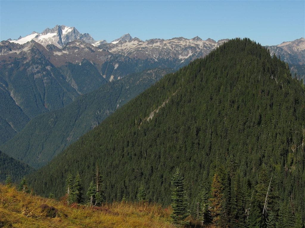
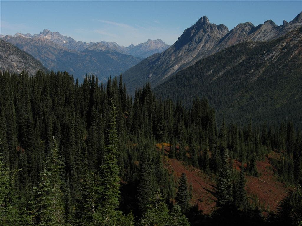
Ridges and Valleys
Location: 48.1689147949219, -121.151840209961
©Jack Haskel
Big Valley
Location: 48.1653594970703, -121.147323608398
©Jack Haskel
Creek Crossing
Location: 48.1682662963867, -121.135795593262
©Jack Haskel
Craggy peaks
Location: 48.1680107116699, -121.086410522461
©Jack Haskel