Pacific Crest Trail: OR Section 11

Trail Facts
- Distance: 65.8
Waypoints
PCT1306
Location: 45.3325653076172, -121.711036682129
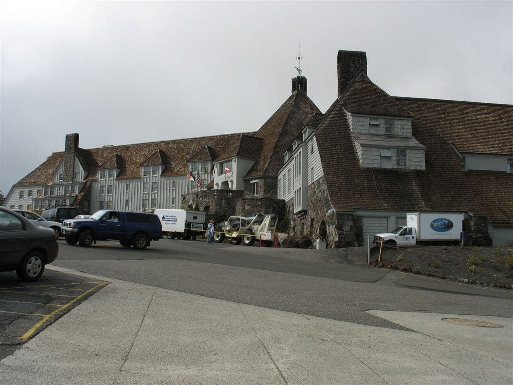
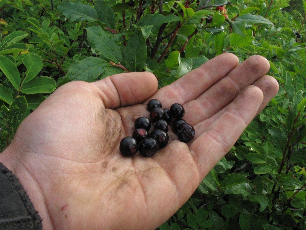
Keep straight. Side trip: Follow spur on L to Timberline Lodge; walk down the path to visit this historic hotel; restaurant and stores inside. Amazing views of Mt. Hood, summer skiing on the glacier; huckleberries all around
PCT1307
Location: 45.3359336853027, -121.721969604492
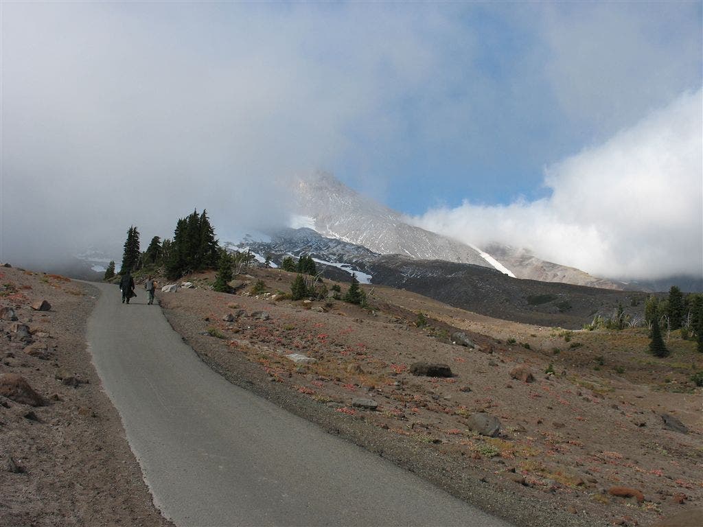
Continue NW trek at the foot of Mt. Hood
PCT1308
Location: 45.3383674621582, -121.73380279541
Stay straight @ Hidden Lake Trail jct.
PCT1309
Location: 45.3426322937012, -121.751815795898
Continue switchback climb
PCT1310
Location: 45.3440170288086, -121.754203796387
Keep straight, heading N; pass camp with a hitching post
PCT1311
Location: 45.3521003723144, -121.750366210938
Cross Lost Creek
PCT1312
Location: 45.3610496520996, -121.752136230469
Stay straight @ jct. with Paradise Park Loop
PCT1313
Location: 45.3723678588867, -121.777702331543
Great camps on large flats
PCT1314
Location: 45.3754844665527, -121.779602050781
Cross Rushing Creek
PCT1315
Location: 45.3798675537109, -121.784065246582
Cross the Sandy River
PCT1316
Location: 45.3910675048828, -121.807952880859
Turn R @ jct. with Trail #797
PCT1317
Location: 45.3918838500977, -121.806434631348
Mt. Hood Wilderness boundary. Head NE
PCT1318
Location: 45.40478515625, -121.779418945312
Stay L @ jct. with Bald Mtn. Trail
PCT1319
Location: 45.4054832458496, -121.779113769531
Stay L, heading NW
PCT1320
Location: 45.4272003173828, -121.796684265137
Cross Lolo Pass Rd.
PCT1321
Location: 45.4321670532227, -121.798797607422
Cross creek
PCT1322
Location: 45.4672660827637, -121.829048156738
Go straight @ Huckleberry Mtn. Trail
PCT1323
Location: 45.4700317382812, -121.830101013184
Pass spur to Salvation Spring
PCT1324
Location: 45.4996337890625, -121.862350463867
Pass a spring
PCT1325
Location: 45.5578155517578, -121.831649780273
Stay straight @ jct. with Indian Mtn. Trail; fantastic views of Mt. St. Helens, Mt. Adams, and Mt. Rainier
PCT1326
Location: 45.556999206543, -121.827003479004
Indian Springs Campground: Campsites on rocky terrain. Follow the Eagle Creek Trail from the picnic table to find a good spring. PCT Detour: The Eagle Creek Trail is a very worthwhile alternate, offering huge waterfalls, great camping and excellent hiking. The first few miles are very steep!
PCT1327
Location: 45.5786018371582, -121.84236907959
Stay straight @ jct.
PCT1328
Location: 45.5835494995117, -121.845268249512
Possible campsite
PCT1329
Location: 45.5625991821289, -121.856048583984
Turn R and head N @ Eagle Tanner Trail jct. Trail parallels Eagle Creek
PCT1330
Location: 45.5630302429199, -121.856178283691
Pass camp
PCT1331
Location: 45.584903717041, -121.852020263672
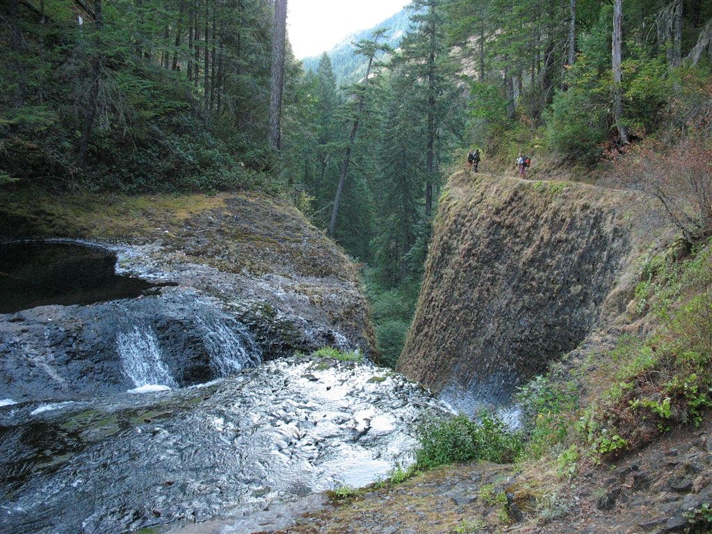
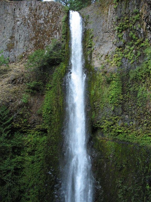
Tunnel Falls: Take time to enjoy incredible, cascading waterfalls.
PCT1332
Location: 45.5889167785644, -121.860298156738
Pass Blue Grouse Campsite
PCT1333
Location: 45.5889511108398, -121.860450744629
Pass camp
PCT1334
Location: 45.590950012207, -121.862785339355
Bear L @ jct., continue heading NW
PCT1335
Location: 45.5921516418457, -121.865684509277
Creek crossing
PCT1336
Location: 45.5940818786621, -121.868064880371
Pass camp
PCT1337
Location: 45.5959510803223, -121.871063232422
Pass Wy’East Campsite on L
PCT1338
Location: 45.5992851257324, -121.877349853516
Pass camp
PCT1339
Location: 45.6002655029297, -121.878036499023
Cross 4 1/2 Mile Bridge
PCT1340
Location: 45.6041984558106, -121.880218505859
Pass camp
PCT1341
Location: 45.6077156066894, -121.882019042969
Pass camp
PCT1342
Location: 45.6082649230957, -121.882598876953
Cross bridge over impressively deep and steep slot
PCT1343
Location: 45.6161842346191, -121.887130737305
Cross bridge over side creek
PCT1344
Location: 45.6216316223144, -121.89331817627
Cross bridge over Tish Creek
PCT1345
Location: 45.6222152709961, -121.894714355469
Pass overlook; continue NW
PCT1346
Location: 45.6270332336426, -121.896781921387
Spur on L to Metlake Falls overlook
PCT1347
Location: 45.6379508972168, -121.919799804688
Stay straight @ Eagle Creek trailhead
PCT1348
Location: 45.641284942627, -121.925003051758
Turn R @ paved road onto the Gorge Lake Trail toward Cascade Locks
PCT1349
Location: 45.6435317993164, -121.923347473145
Follow the bike path NE to Cascade Locks
PCT1350
Location: 45.6627502441406, -121.898017883301
To continue on the PCT, cross the Columbia River on Bridge of the Gods; turn L @ end of bridge; begin Washington section of the PCT. Optional trip to Cascade Locks: The Char Burger restaurant is a great hiker hangout
PCT1351
Location: 45.6654090881348, -121.895713806152
End @ Cascade Locks. PCT continues over Bridge of the Gods to WA.
More PCT: Next Section | Previous Section
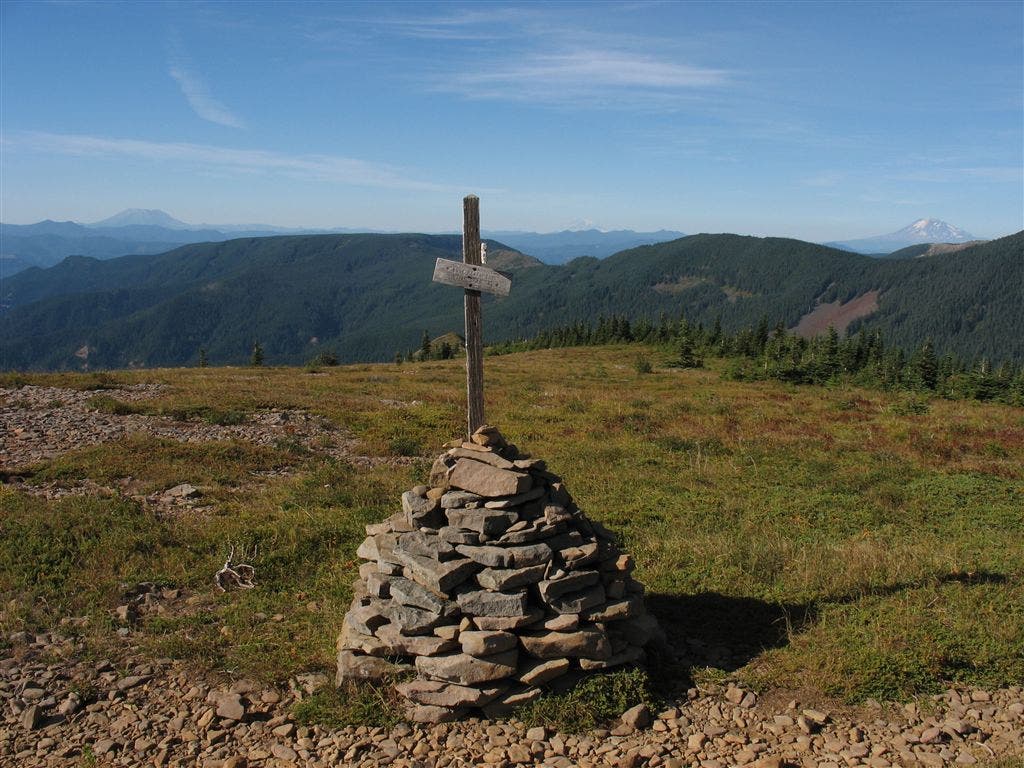
Trail Junction Vista
Location: 45.5574035644531, -121.831390380859
Views of the big peaks of the Washington Cascades: Mt. St. Helens, Mt. Adams, and Mt. Rainier. ©Jack Haskel
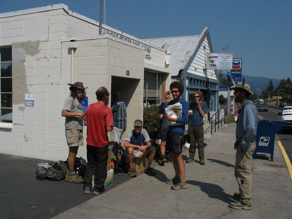
Cascade Lock Post Office
Location: 45.6643333435059, -121.896392822266
Hikers outside of the post office during resupply. ©Jack Haskel
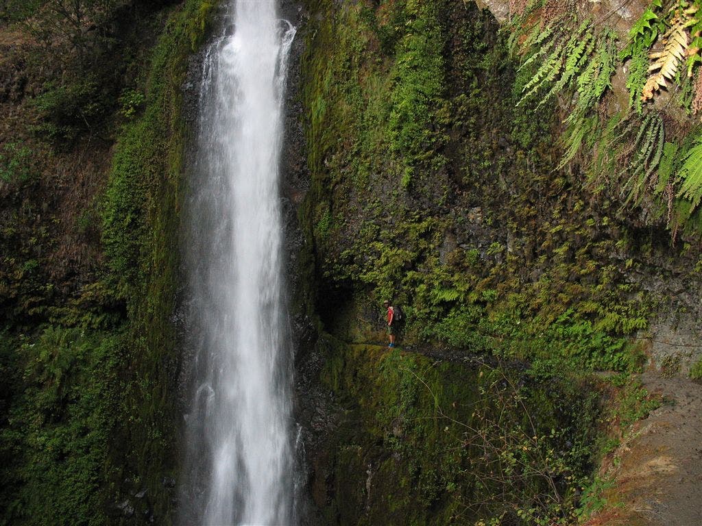
Tunnel Falls
Location: 45.5854187011719, -121.852378845215
For scale, look at the little red dot–that’s Jack. ©Jack Haskel
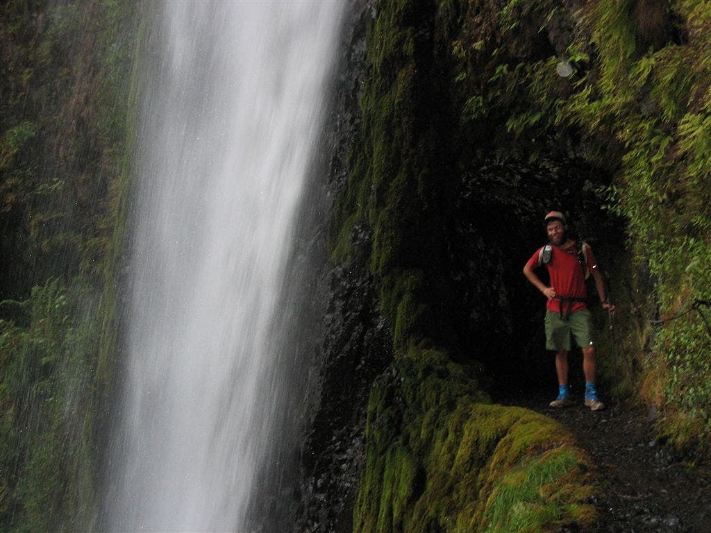
Jack at Tunnel Falls
Location: 45.5845947265625, -121.851760864258
©Jack Haskel
Heading into Eagle Creek
Location: 45.574634552002, -121.852378845215
©Jack Haskel
Timberline Lodge
Location: 45.332462310791, -121.710884094238
©Jack Haskel
Road to Mount Hood
Location: 45.3330764770508, -121.712417602539
©Jack Haskel
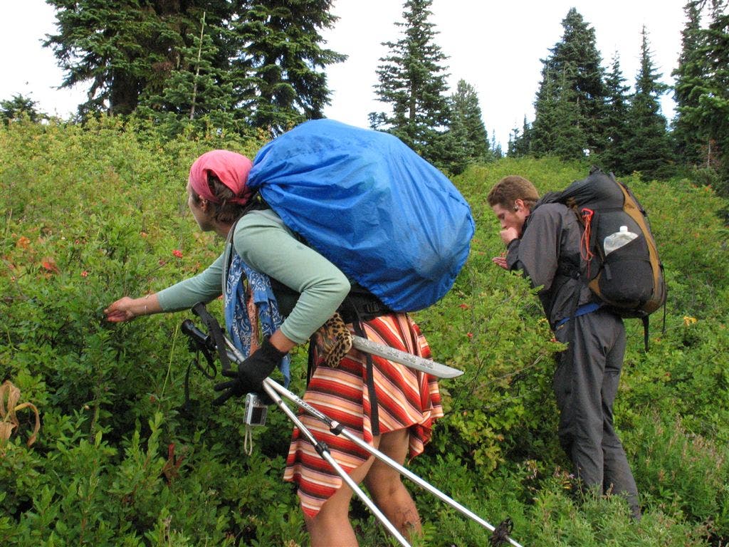
Berry Time
Location: 45.3641357421875, -121.756118774414
©Jack Haskel
Berry Picking
Location: 45.3635559082031, -121.758445739746
PCT’ers stop and pick some berries. ©Jack Haskel
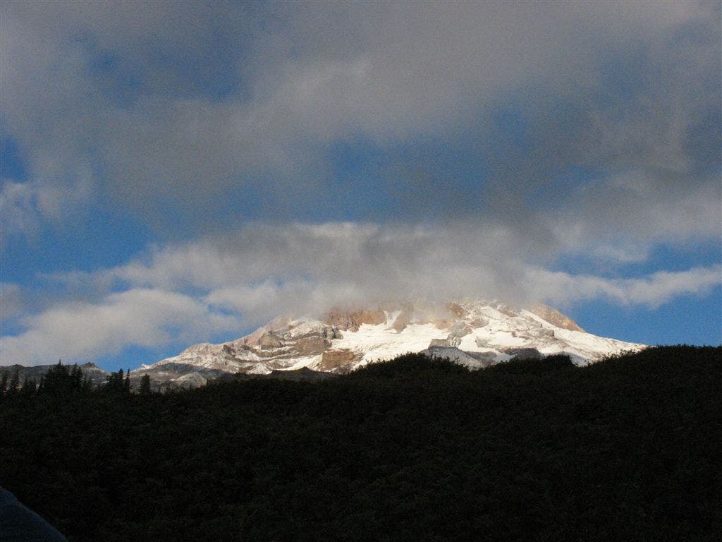
Hood through the clouds
Location: 45.3626823425293, -121.75553894043
©Jack Haskel
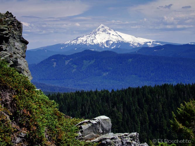
Mount Hood
Location: 45.4829788208008, -121.848121643066
©Jack Haskel
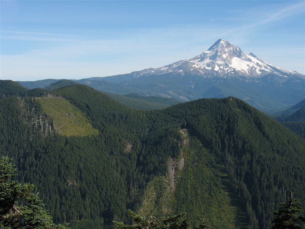
Hood and valley
Location: 45.5105400085449, -121.868644714355
©Jack Haskel
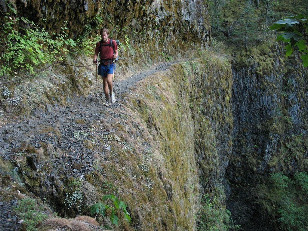
Tight Ledge
Location: 45.5806083679199, -121.852226257324
A PCT’er walkes on the narrow trail above Eagle Creek. ©Jack Haskel
Waterfall
Location: 45.5782661437988, -121.852226257324
©Jack Haskel
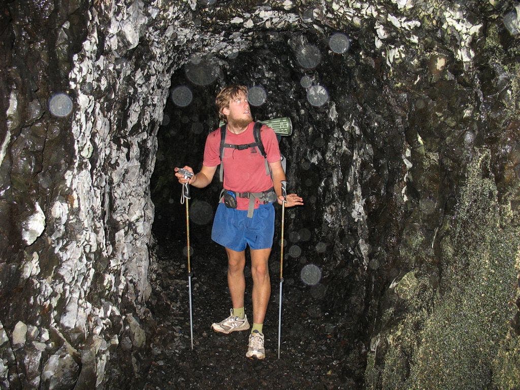
Tunnel
Location: 45.5870590209961, -121.856918334961
A PCT’er squeezes through a blasted-out section of trail along Eagle Creek. ©Jack Haskel