Pacific Crest Trail: Cascade Locks to Eagle Creek

Trail Facts
- Distance: 16.2
Waypoints
PCT1330
Location: 45.5630302429199, -121.856178283691
Camp site and good turnaround spot
PCT1331
Location: 45.584903717041, -121.852020263672
Tunnel Falls: Take time to enjoy incredible, cascading waterfalls.
PCT1332
Location: 45.5889167785644, -121.860298156738
Pass Blue Grouse Campsite
PCT1333
Location: 45.5889511108398, -121.860450744629
Pass camp
PCT1334
Location: 45.590950012207, -121.862785339355
Bear L @ jct., continue heading NW
PCT1335
Location: 45.5921516418457, -121.865684509277
Creek crossing
PCT1336
Location: 45.5940818786621, -121.868064880371
Pass camp
PCT1337
Location: 45.5959510803223, -121.871063232422
Pass Wy’East Campsite on L
PCT1338
Location: 45.5992851257324, -121.877349853516
Pass camp
PCT1339
Location: 45.6002655029297, -121.878036499023
Cross 4 1/2 Mile Bridge
PCT1340
Location: 45.6041984558106, -121.880218505859
Pass camp
PCT1341
Location: 45.6077156066894, -121.882019042969
Pass camp
PCT1342
Location: 45.6082649230957, -121.882598876953
Cross bridge over impressively deep and steep slot
PCT1343
Location: 45.6161842346191, -121.887130737305
Cross bridge over side creek
PCT1344
Location: 45.6216316223144, -121.89331817627
Cross bridge over Tish Creek
PCT1345
Location: 45.6222152709961, -121.894714355469
Pass overlook; continue NW
PCT1346
Location: 45.6270332336426, -121.896781921387
Spur on L to Metlake Falls overlook
PCT1347
Location: 45.6379508972168, -121.919799804688
Stay straight @ Eagle Creek trailhead
PCT1348
Location: 45.641284942627, -121.925003051758
Turn R @ paved road onto the Gorge Lake Trail toward Cascade Locks
PCT1349
Location: 45.6435317993164, -121.923347473145
Follow the bike path NE to Cascade Locks
PCT1350
Location: 45.6627502441406, -121.898017883301
To continue on the PCT, cross the Columbia River on Bridge of the Gods; turn L @ end of bridge; begin Washington section of the PCT. Optional trip to Cascade Locks: The Char Burger restaurant is a great hiker hangout
PCT1351
Location: 45.6654090881348, -121.895713806152
End @ Cascade Locks.
More PCT: Next Section | Previous Section
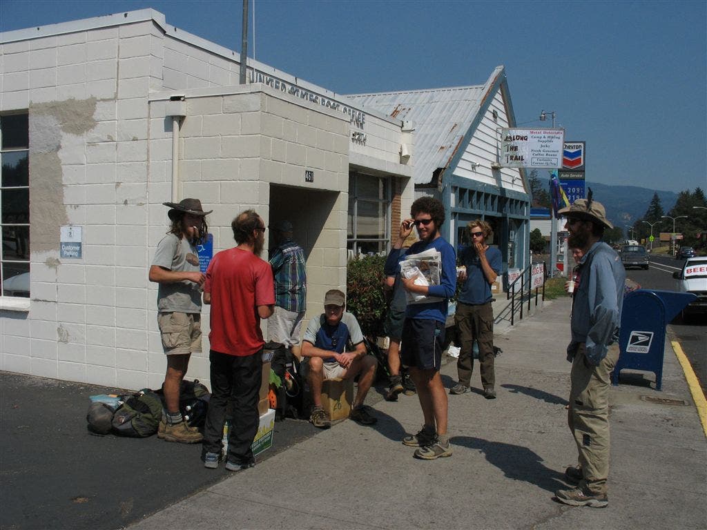
Cascade Lock Post Office
Location: 45.6643333435059, -121.896392822266
Hikers outside of the post office during resupply. ©Jack Haskel
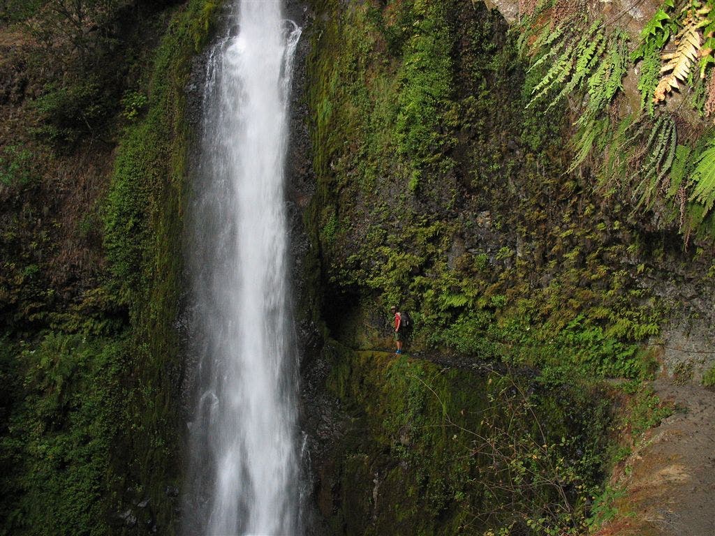
Tunnel Falls
Location: 45.5854187011719, -121.852378845215
For scale, look at the little red dot—that’s Jack. ©Jack Haskel
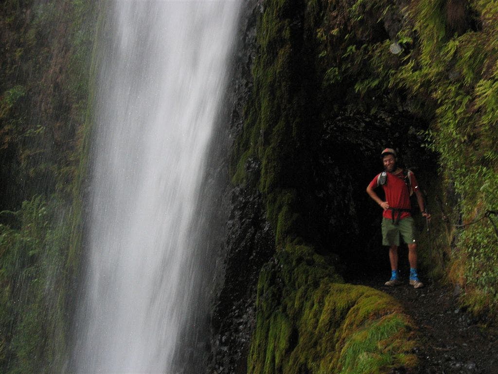
Jack at Tunnel Falls
Location: 45.5845947265625, -121.851760864258
©Jack Haskel
Heading into Eagle Creek
Location: 45.574634552002, -121.852378845215
©Jack Haskel
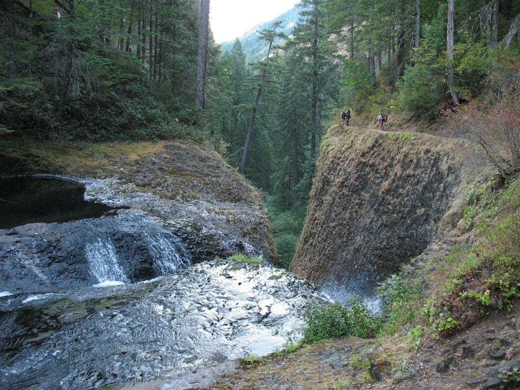
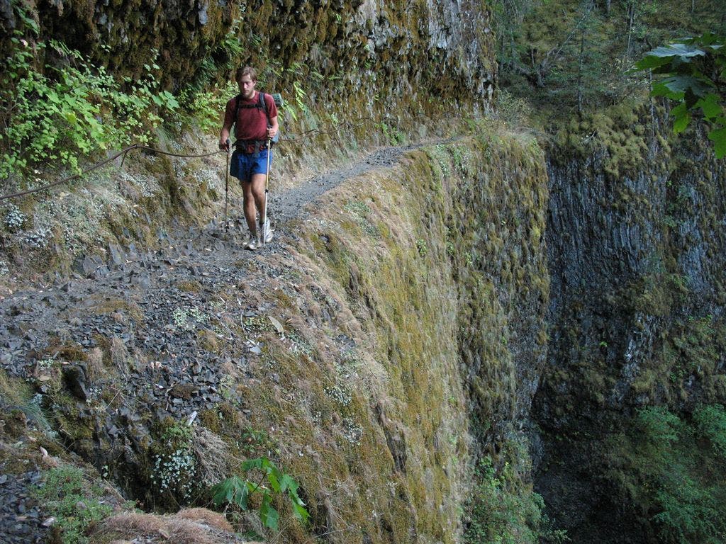
Tight Ledge
Location: 45.5806083679199, -121.852226257324
A PCT’er walkes on the narrow trail above Eagle Creek. ©Jack Haskel
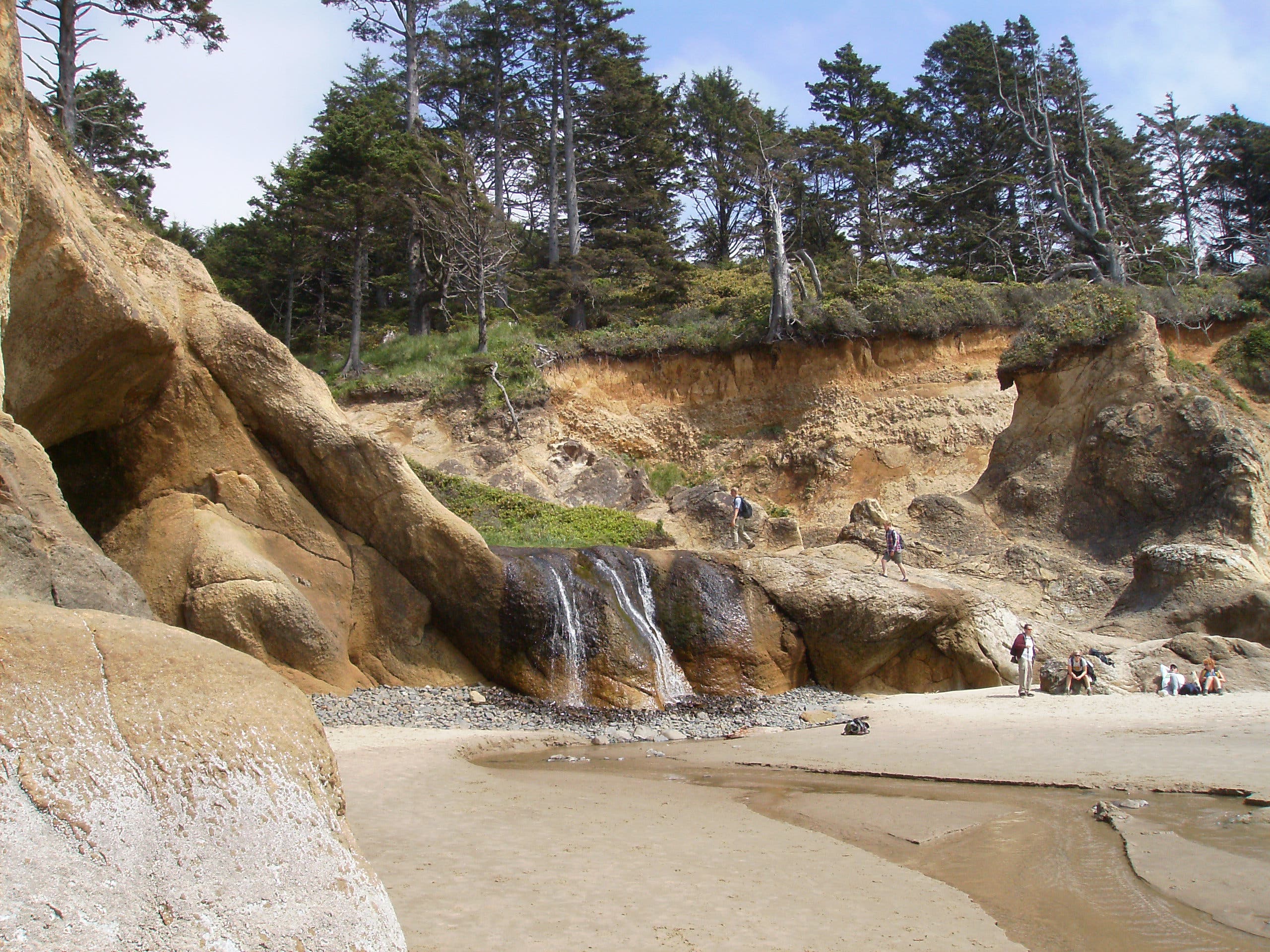
Waterfall
Location: 45.5782661437988, -121.852226257324
©Jack Haskel
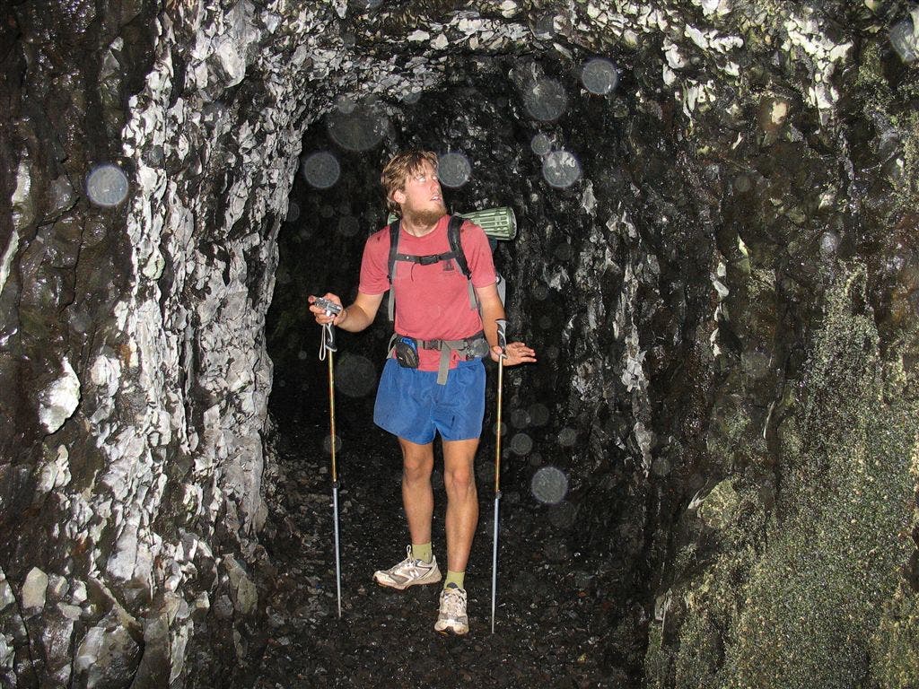
Tunnel
Location: 45.5870590209961, -121.856918334961
A PCT’er squeezes through a blasted-out section of trail along Eagle Creek. ©Jack Haskel