Pacific Crest Trail: CA Section 36


Trail Facts
- Distance: 59.6
Waypoints
PCT911
Location: 41.1388511657715, -121.979614257812
From Grizzly Peak Rd., head W on PCT
PCT912
Location: 41.1281814575195, -121.987533569336
Cross Deer Creek
PCT913
Location: 41.1270179748535, -122.002479553223
Creek
PCT914
Location: 41.1295013427734, -122.026702880859
Butcherknife Creek
PCT915
Location: 41.1181983947754, -122.057319641113
Centipede Gulch Trailhead
PCT916
Location: 41.1167335510254, -122.060981750488
Ash Camp; a developed, but remote car-camping spot
PCT917
Location: 41.1175498962402, -122.062133789062
Bridge over McCloud River; great fishing in the milky water
PCT918
Location: 41.1146507263184, -122.071914672852
Cross creek
PCT919
Location: 41.1152496337891, -122.089836120605
Cross tranquil Fitzhugh Gulch Creek, where numerous tiny frogs hang out
PCT920
Location: 41.1140670776367, -122.094329833984
Cross dirt road
PCT921
Location: 41.129264831543, -122.144248962402
Trough Creek
PCT922
Location: 41.1300659179688, -122.148635864258
Cross creek
PCT923
Location: 41.1413345336914, -122.16943359375
Squaw Valley Creek
PCT924
Location: 41.1403007507324, -122.170280456543
Straight @ trail junction
PCT925
Location: 41.1371002197266, -122.178131103516
Dirt road intersection @ saddle
PCT926
Location: 41.1485176086426, -122.221664428711
Ridgetop dirt road
PCT927
Location: 41.1491508483887, -122.245552062988
L @ trail junction
PCT928
Location: 41.1362648010254, -122.25464630127
Spring
PCT929
Location: 41.1433982849121, -122.249153137207
Cross creek
PCT930
Location: 41.1542015075684, -122.266799926758
Cross dirt road
PCT931
Location: 41.1600685119629, -122.289749145508
Cross paved Riverside Road and continue following the trail for a short while longer
PCT932
Location: 41.1600685119629, -122.292236328125
Cross bridge @ Soda Creek Road; ;if you want to go to Dunsmuir or Mt. Shasta City, you’ll have to find a ride, though hitchhking is illegal on the Interstates themselves. Find a safe spot on the ramps or turnoffs.
PCT933
Location: 41.1627159118652, -122.296897888184
Reach I-5 and end of section.
More PCT: Next Section | Previous Section
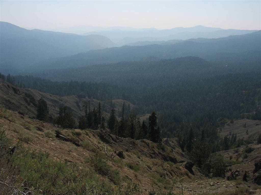
Hazy foothills of Squaw Valley
Location: 41.1171417236328, -122.104507446289
©Jack Haskel
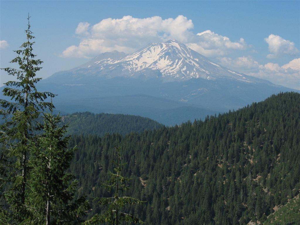
Mount Shasta
Location: 41.1466903686523, -122.24634552002
©Jack Haskel
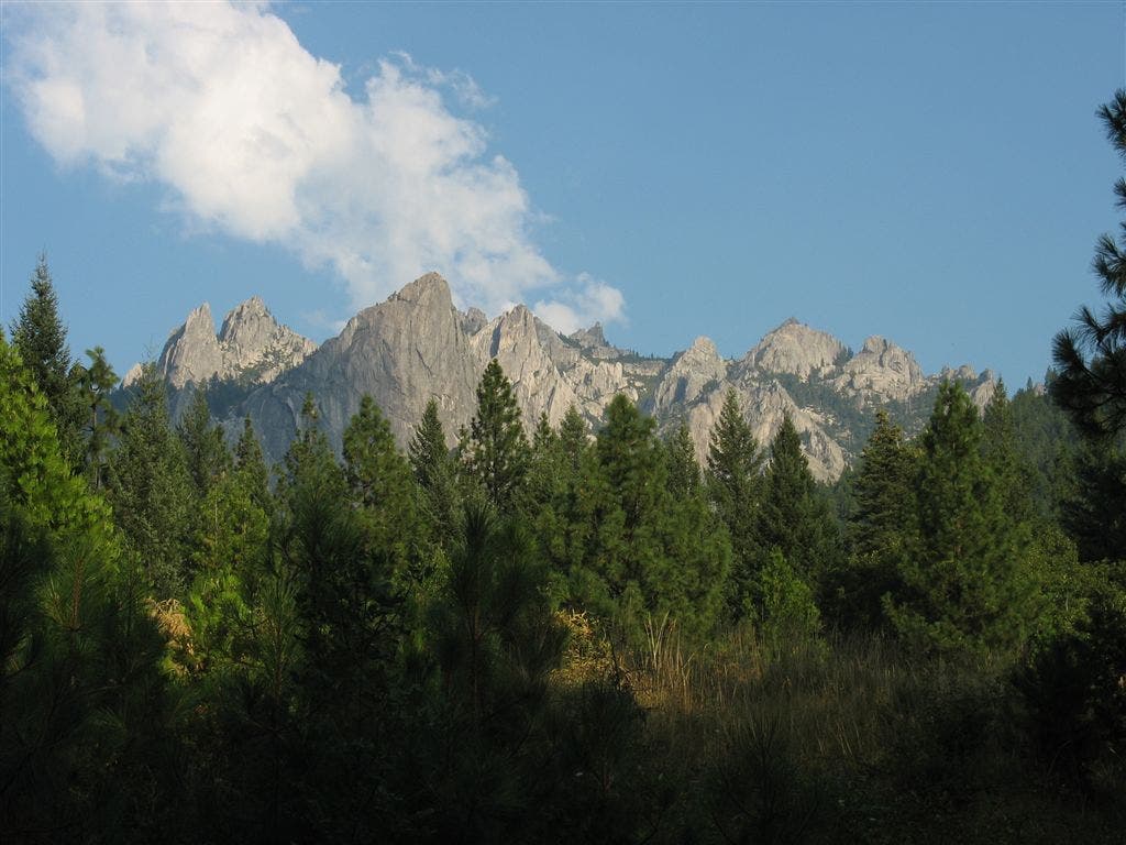
Castle Crags
Location: 41.1447219848633, -122.262107849121
©Jack Haskel