Pacific Crest Trail: CA Section 35

©Jack Haskel

Trail Facts
- Distance: 60.2
Waypoints
PCT895
Location: 41.0135345458984, -121.65007019043
From Burney Falls General Store S-SW; take photos of Burney Falls; cross bridge and pick up the PCT, heading N.
PCT896
Location: 41.0188331604004, -121.664215087891
Cross paved road
PCT897
Location: 41.0216331481934, -121.675300598145
Cross Lake Britton Dam
PCT898
Location: 41.021598815918, -121.676582336426
Trail tread resumes going up hill from road
PCT899
Location: 41.0250511169434, -121.713714599609
Bridge over Rock Creek
PCT900
Location: 41.0226173400879, -121.714920043945
Possible camping here
PCT901
Location: 41.0410652160644, -121.747581481934
Cross dirt road
PCT902
Location: 41.0453987121582, -121.756736755371
Creeklet
PCT903
Location: 41.0598182678223, -121.785003662109
Cross Peavine Creek @ dirt crossroads
PCT904
Location: 41.1717147827148, -121.794296264648
Good dirt road that descends to pond
PCT905
Location: 41.170166015625, -121.818817138672
Cross dirt road @ Bartle Gap
PCT906
Location: 41.1744651794434, -121.822364807129
Cross dirt road
PCT907
Location: 41.1751823425293, -121.837036132812
Spring!
PCT908
Location: 41.1580657958984, -121.92064666748
Bear L @ Alder Creek trail junction
PCT909
Location: 41.1588821411133, -121.953147888184
Cross dirt road
PCT910
Location: 41.1411666870117, -121.974113464355
Spring
PCT911
Location: 41.1388511657715, -121.979614257812
Section ends @ Grizzly Peak Rd.
More PCT: Next Section | Previous Section
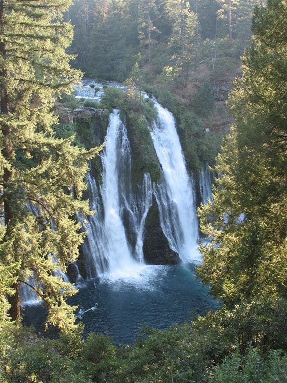
Burney Falls
Location: 41.0134735107422, -121.649269104004
This 130-foot cascade is one of California’s largest watefalls. ©Jack Haskel