Pacific Crest Trail: CA Section 29


Trail Facts
- Distance: 26.3
Waypoints
PCT771
Location: 39.8990287780762, -121.120277404785
Bucks Summit trailhead on Oroville-Quincy Highway; head N on PCT
PCT772
Location: 39.901668548584, -121.120765686035
Creek
PCT773
Location: 39.9048347473144, -121.129249572754
Bucks Creek
PCT774
Location: 39.9061164855957, -121.130386352539
Bucks Creek
PCT775
Location: 39.9240837097168, -121.134147644043
Great picnic spot with nice views E
PCT776
Location: 39.9322814941406, -121.132331848145
Stay L @ Spanish Peak trail; worthy side trip to summit without much elevation gain
PCT777
Location: 39.9321517944336, -121.13663482666
Go R @ Right Hand Branch trail
PCT778
Location: 39.938232421875, -121.147346496582
Stay straight @ Silver Lake trail
PCT779
Location: 39.9397659301758, -121.148719787598
Granite outcrop with great views of Spanish Peak, Gold Lake and multiple lakes below.
PCT780
Location: 39.9605331420898, -121.167785644531
Right Hand Salt Rock Creek
PCT781
Location: 39.9601173400879, -121.175918579102
PCT stays straight; Mt. Pleasant trail makes a worthy side trip to bag the nearby summit
PCT782
Location: 39.9619331359863, -121.178817749023
Wet meadow with creeks; willow and corn lily dot the terrain
PCT783
Location: 39.9661674499512, -121.18440246582
Fork of Clear Creek
PCT784
Location: 39.9706993103027, -121.197937011719
Clear Creek
PCT785
Location: 39.9748916625977, -121.219635009766
Straight @ Three Lakes trail
PCT786
Location: 39.9782333374023, -121.251152038574
Spring; watch for poison oak on the descent to Belden.
PCT787
Location: 39.9804496765137, -121.250686645508
Spring
PCT788
Location: 39.9917640686035, -121.261337280273
Poison oak along this stretch to the river
PCT789
Location: 40.0025825500488, -121.257080078125
Railroad tracks
PCT790
Location: 40.0057678222656, -121.250717163086
Belden Town Resort, not many ammenities.
More PCT: Next Section | Previous Section
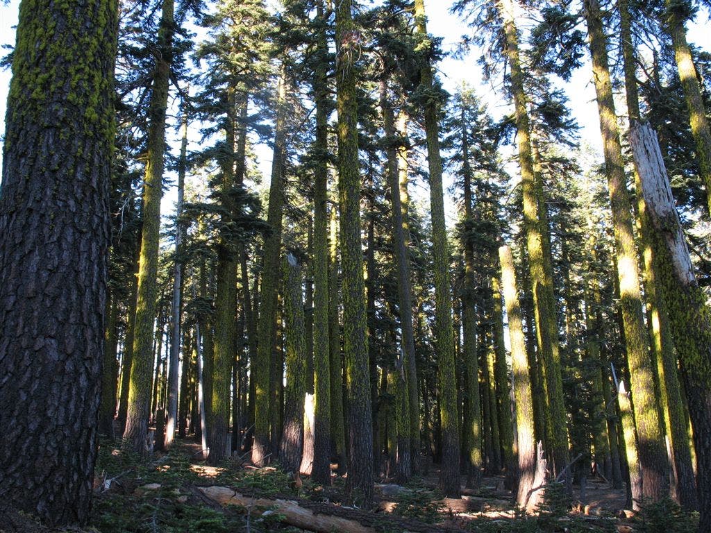
Lichen-clothed firs
Location: 39.9017524719238, -121.118751525879
©Jack Haskel
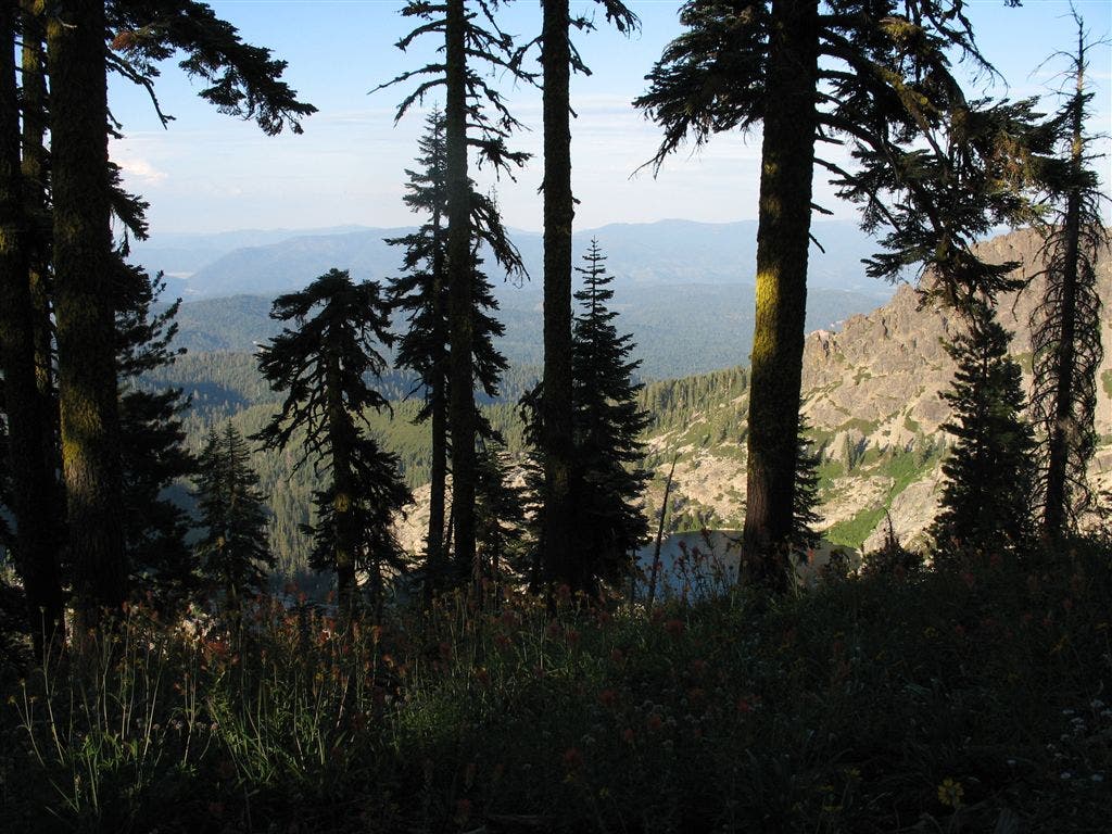
Rim views
Location: 39.9464378356934, -121.155090332031
©Jack Haskel