Published September 20, 2013 02:44PM
Pacific Crest Trail: CA Section 27
SIERRA CITY to QUINCY-LAPORTE ROAD: Hike past dozens of alpine lakes and a few notable peaks on this 31.7-mile section. Don't pass by the Sierra Buttes without climbing to the old lookout, the views from the top are some of California's best.

Trail Facts
- Distance: 50.9
Waypoints
PCT713
Location: 39.5770950317383, -120.612648010254
Head N from CA 49 around ridge and begin switchbacked climb toward the Sierra Buttes
PCT714
Location: 39.5881996154785, -120.616752624512
Water @ switchback
PCT715
Location: 39.583065032959, -120.642219543457
On-trail spring
PCT716
Location: 39.5886993408203, -120.661666870117
Sierra Buttes jeep trail (leads to summit); first tree cover after long, exposed ascent and traverse of southern side of Sierra Buttes
PCT717
Location: 39.592098236084, -120.662246704102
Spring below trail
PCT718
Location: 39.6021347045898, -120.661949157715
Straight @ Ridgetop trail junction
PCT719
Location: 39.6116333007812, -120.665412902832
Sierra Buttes TH; dirt pullout @ metal gate; PCT becomes the road, so walk N on it
PCT720
Location: 39.6143836975098, -120.666519165039
Stay R @ paved road, which becomes PCT
PCT721
Location: 39.6194839477539, -120.667152404785
Stay straight and resume trail tread @ Packer Lake Saddle intersection
PCT722
Location: 39.6436157226562, -120.672966003418
Overlooking Deer Lake, this spot on a dirt road would be an excellent car camping destination
PCT723
Location: 39.6460990905762, -120.672218322754
Cross dirt road
ADVERTISEMENT
PCT724
Location: 39.662181854248, -120.674453735352
Summit Lake road
PCT725
Location: 39.6715316772461, -120.682350158691
Dirt road
PCT726
Location: 39.6755485534668, -120.680763244629
L @ trail junction
PCT727
Location: 39.6908836364746, -120.700836181641
L @ Silver Lake trail
PCT728
Location: 39.6969337463379, -120.706069946289
Saddle with small pond and water flowing in a creek to R
PCT729
Location: 39.7056846618652, -120.716201782227
Cross dirt road
PCT730
Location: 39.7150993347168, -120.745231628418
The “A” Tree: an intersection of five roads; what The “A” Tree actually is remains a mystery. There is a good spring down the road directly to the L when you hit the road. Follow your ears down twenty feet to a spring
PCT731
Location: 39.7184982299805, -120.758369445801
A vegetated saddle with camping for a few tents
PCT732
Location: 39.7186851501465, -120.773048400879
Creeklet
PCT733
Location: 39.714282989502, -120.778114318848
Creeklet
PCT734
Location: 39.7152671813965, -120.784950256348
Creeklet
PCT735
Location: 39.7144317626953, -120.787269592285
Creeklet
PCT736
Location: 39.7271995544434, -120.795867919922
Creeklet
PCT737
Location: 39.7511329650879, -120.842300415039
ADVERTISEMENT
S end of Bunker Hill Ridge and jeep road
PCT738
Location: 39.7636680603027, -120.857200622559
Spur down to pond below the trail with greenish water–not recommended…but if low-water season can be filtered
PCT739
Location: 39.7671165466309, -120.858512878418
Cross dirt road
PCT740
Location: 39.7822341918945, -120.891571044922
Quincy-Laporte Rd.; water found .25 mi. to W
More PCT: Next Section | Previous Section
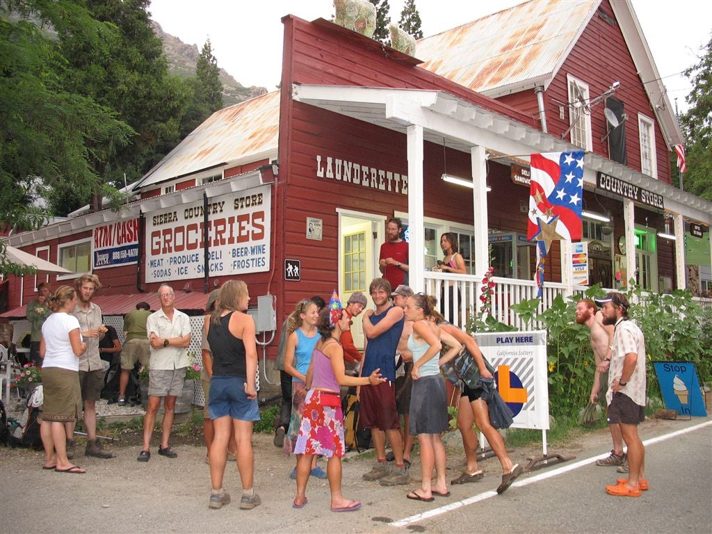
Sierra City County Store
Location: 39.5677223205566, -120.630126953125
Thru hikers gather for a party in front of the Sierra City County Store ©Jack Haskel