Pacific Crest Trail: CA Section 2


Trail Facts
- Distance: 32.5
Waypoints
PCT021
Location: 32.7318992614746, -116.483367919922
Cross old CA 80
PCT022
Location: 32.7342681884766, -116.480163574219
I-8 underpass
PCT023
Location: 32.7476844787598, -116.451484680176
Cross Kitchen Creek Road
PCT024
Location: 32.7622680664062, -116.43928527832
Hidden, shady camspite at Fred Canyon near the creek
PCT025
Location: 32.7717666625977, -116.439102172852
Cross dirt road
PCT026
Location: 32.8192672729492, -116.41414642334
Long Canyon Creek has good water
PCT027
Location: 32.8232002258301, -116.417137145996
Good dry camping
PCT028
Location: 32.828498840332, -116.41780090332
Spur trail to water .2 miles away
PCT029
Location: 32.8408164978027, -116.418601989746
Cross dirt road
PCT030
Location: 32.8507499694824, -116.419097900391
Cross dirt road
PCT031
Location: 32.8696327209473, -116.413665771484
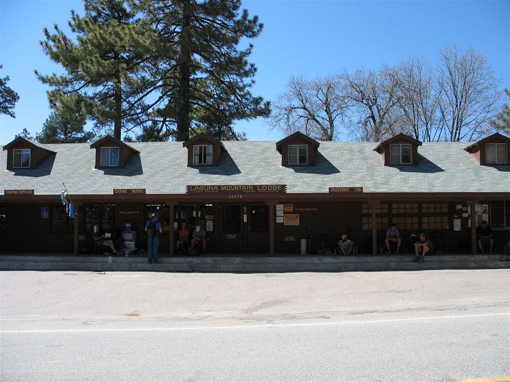
Leave the PCT at this picnic area, going L to visit Mt. Laguna store; bathrooms and water here
PCT032
Location: 32.8950347900391, -116.43953704834
Spur trail to Foster Point
PCT033
Location: 32.8963012695312, -116.439720153809
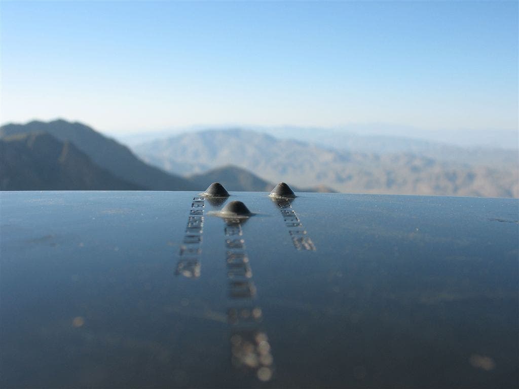
Foster Point: Great views including first of San Jacinto 63 miles away. Metal monument has peak viewer to points out area summits.
PCT034
Location: 32.8962173461914, -116.448448181152
Wooden Creek Overlook: L to Mt. Laguna Camp
More PCT: Next Section | Previous Section
San Jacinto view
Location: 32.8967895507812, -116.440391540527
The peak-viewer vantage toward the San Jacinto Range. ©Jack Haskel
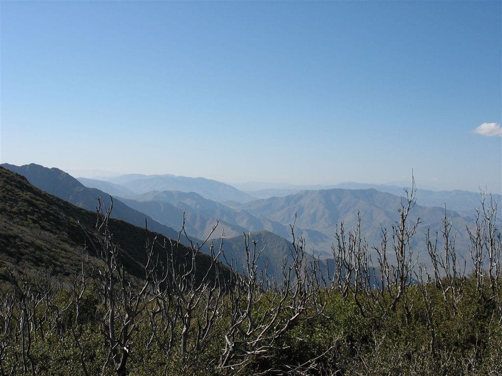
San Jacinto’s in the distance
Location: 32.8969345092773, -116.439888000488
©Jack Haskel
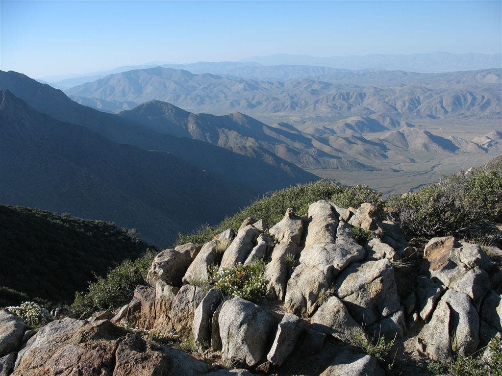
Valley view
Location: 32.8980827331543, -116.43896484375
©Jack Haskel
Laguna Mountain Lodge
Location: 32.8937225341797, -116.448379516602
Good spot to restock. ©Jack Haskel