Pacific Crest Trail: CA Section 19


Trail Facts
- Distance: 78.2
Waypoints
PCT365
Location: 35.6641159057617, -118.037605285645
Walker Pass Campground; Keep N
PCT366
Location: 35.6630516052246, -118.036399841309
L to CA 198
PCT367
Location: 35.6630516052246, -118.027420043945
PCT crosses Walker Pass @ CA 178 near a monument describing the area pioneer history. Considered the start of the Sierra Nevada, where views become more dramatic as jagged granite peaks enter the scene.
PCT368
Location: 35.6871337890625, -117.994003295898
Campsites on a saddle amongst trees
PCT369
Location: 35.6948165893555, -117.986015319824
Campsites on Morris/Jenkins Saddle
PCT370
Location: 35.7429008483887, -118.022933959961
Spur to Joshua Tree Spring: spring best skipped, according to the guideboook, it has tested positive for high levels of uranium.
PCT371
Location: 35.7602844238281, -118.040802001953
Saddle
PCT372
Location: 35.7689666748047, -118.027900695801
Spanish Needle Creek 1st Crossing
PCT373
Location: 35.7735824584961, -118.029449462891
2nd crossing Spanish Needle Creek, this fork has the largest flow so fill up here.
PCT374
Location: 35.7768821716309, -118.027282714844
3rd crossing Spanish Needle Creek
PCT375
Location: 35.7757339477539, -118.025001525879
4th crossing Spanish Needle Creek
PCT376
Location: 35.7819328308106, -118.022186279297
Saddle
PCT377
Location: 35.7811508178711, -118.002182006836
Windy, exposed saddle features great views E down into the dry Mojave Desert area left behind.
PCT378
Location: 35.8044166564941, -118.01294708252
A large, established campsite on a broad ridge before making the decent down towards Lamont Creek
PCT379
Location: 35.8349838256836, -118.043769836426
Chimney Creek
PCT380
Location: 35.835765838623, -118.043998718262
Canebrake Road
PCT381
Location: 35.8546981811523, -118.06396484375
Spur to Fox Mill Spring
PCT382
Location: 35.855899810791, -118.064315795898
Fox Mill Road
PCT383
Location: 35.879150390625, -118.068534851074
Cross dirt road
PCT384
Location: 35.8904342651367, -118.087417602539
Cross dirt road
PCT385
Location: 35.8993682861328, -118.110198974609
Cross dirt road
PCT386
Location: 35.9247016906738, -118.14924621582
First creek in Rockhouse Basin
PCT387
Location: 35.9765319824219, -118.155235290527
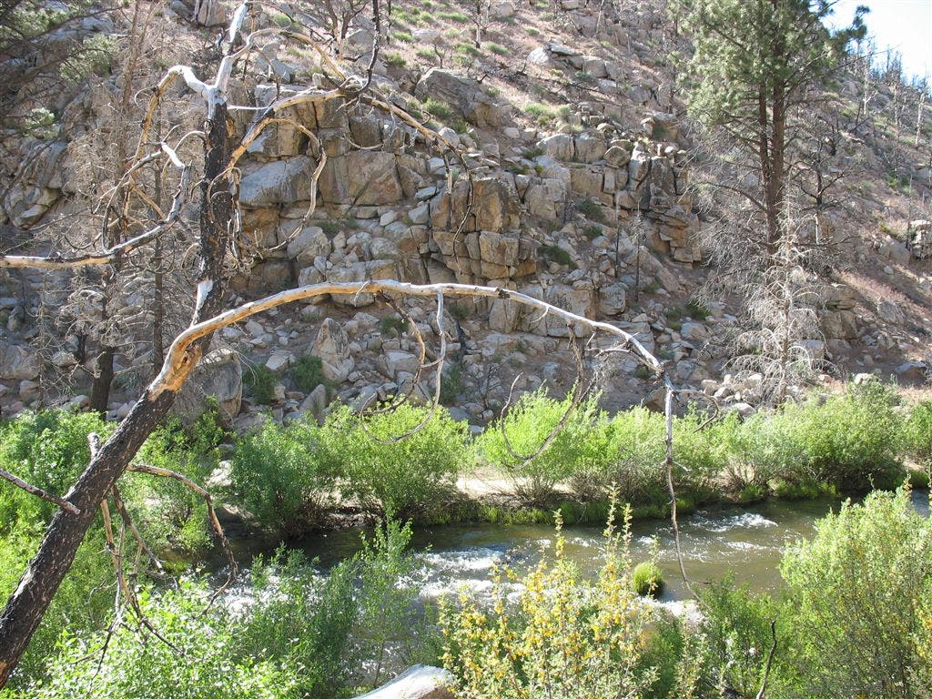
South Fork Kern River, where the watercourse passes through a tight gateway of resistant bedrock.
PCT388
Location: 35.9846839904785, -118.148635864258
Diminutive Pine Creek
PCT389
Location: 35.9986152648926, -118.141632080078
Creeklet at the begining of the expansive sagebrush plain of Kennedy Meadows
PCT390
Location: 36.0154151916504, -118.13151550293
Dirt Road
PCT391
Location: 36.0235328674316, -118.134216308594
Crosses a paved road, just to R of bridge over South Fork Kern River. Turn R to visit the Kennedy Meadows General Store.
PCT392
Location: 36.0190010070801, -118.123466491699
Kennedy Meadows General Store:great porch for relaxing, showers, laundry, and package service
PCT393
Location: 36.0244827270508, -118.133232116699
PCT Trailhead
PCT394
Location: 36.0275497436523, -118.13298034668
Dirt road
PCT395
Location: 36.0517997741699, -118.130363464355
Kennedy Meadows Campground S end
PCT396
Location: 36.0545501708984, -118.130683898926
Kennedy Meadows TH @ N end;
More PCT: Next Section | Previous Section
Tight squeeze on the South Fork Kern River
Location: 35.9763526916504, -118.154655456543
©Jack Haskel
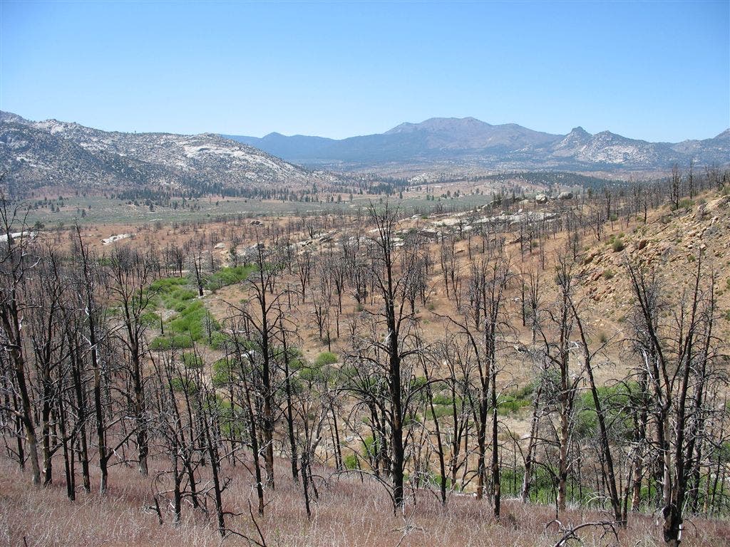
Barren landscape
Location: 35.7916412353516, -118.01602935791
©Jack Haskel