Pacific Crest Trail: CA Section 13

Trail Facts
- Distance: 66.6
Waypoints
PCT232
Location: 34.3426933288574, -117.983505249023
From CA 2, head N on PCT
PCT233
Location: 34.3435249328613, -117.983253479004
Three Points Trailhead; splits from Silver Mocassin Trail
PCT234
Location: 34.3658180236816, -117.992088317871
Creeklet with better water than Sulphur Springs Campground
PCT235
Location: 34.3674659729004, -117.988883972168
Sulphur Springs Campground; bad looking water in creek; faucets didn’t work; from here walk on road going W
PCT236
Location: 34.3711051940918, -117.998199462891
Trail tread starts again
PCT237
Location: 34.3809852600098, -118.027030944824
Spring
PCT238
Location: 34.3849411010742, -118.034866333008
Spur to Mt. Pacifico Campground
PCT239
Location: 34.3971672058106, -118.054100036621
Old dirt road on ridge
PCT240
Location: 34.3895225524902, -118.080696105957
Mill Creek Trailhead with water, parking and bathrooms
PCT241
Location: 34.3915748596191, -118.08137512207
Mill Creek Picnic Area under large power lines; bathrooms but no working water
PCT242
Location: 34.3993682861328, -118.093307495117
Possible camping on firebreak (bulldozed roads too steep to drive on) just uphill from trail
PCT243
Location: 34.3960494995117, -118.106864929199
Cross paved Mt. Gleason Road
PCT244
Location: 34.3849182128906, -118.139381408691
Big Buck Trail Camp Spur
PCT245
Location: 34.3804016113281, -118.138618469238
Cross dirt road
PCT246
Location: 34.3798179626465, -118.139663696289
Resume trail tread
PCT247
Location: 34.3832817077637, -118.149887084961
Nice creek in wooded glade
PCT248
Location: 34.3813323974609, -118.181831359863
Dirt road on ridgetop
PCT249
Location: 34.381233215332, -118.189918518066
Messenger Flat Campground
PCT250
Location: 34.3786163330078, -118.204048156738
Cross dirt road
PCT251
Location: 34.379150390625, -118.22045135498
Santa Clara Divide Road
PCT252
Location: 34.3788681030273, -118.222396850586
Resume walking on actual PCT trail tread
PCT253
Location: 34.387565612793, -118.252479553223
North Fork Saddle Ranger Station; under the shadow of more powerlines this station has bathrooms, garbage cans and water
PCT254
Location: 34.4182815551758, -118.251167297363
Mattox Canyon Camp; nice, small campsites near the creek; great place to end the day
PCT255
Location: 34.4339179992676, -118.272163391113
Cross dirt road
PCT256
Location: 34.4375343322754, -118.272918701172
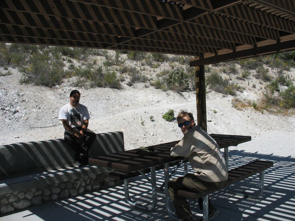
Soledad Canyon Road; RV parks in the area. Here you’ll find a parking lot with a bathroom and a shaded picnic table.
PCT257
Location: 34.4400672912598, -118.270835876465
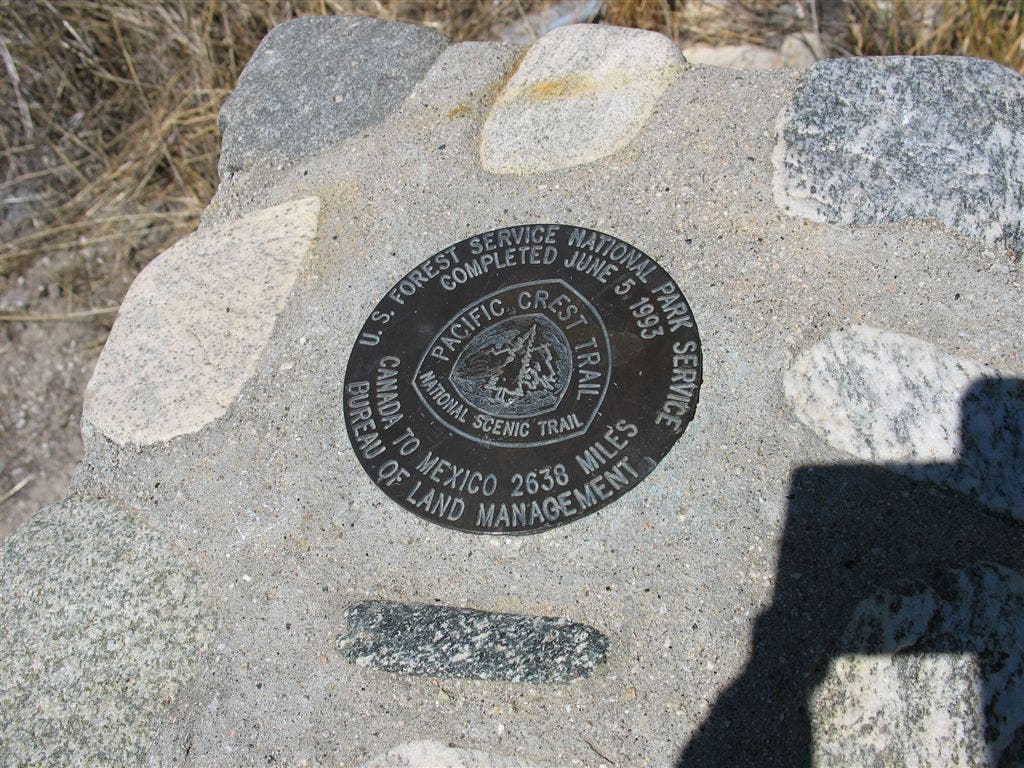
Trail tread continues after crossing a polluted creek, a dump and train tracks. Monument marking the “final” section of PCT completed. Trail ahead to Agua Dulce is very hot, shadeless and grass covered.
PCT258
Location: 34.4555816650391, -118.269180297852
Cross dirt road
PCT259
Location: 34.475284576416, -118.304649353027
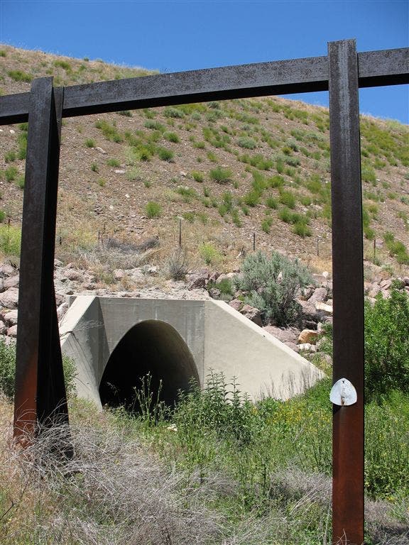
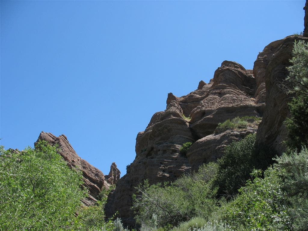
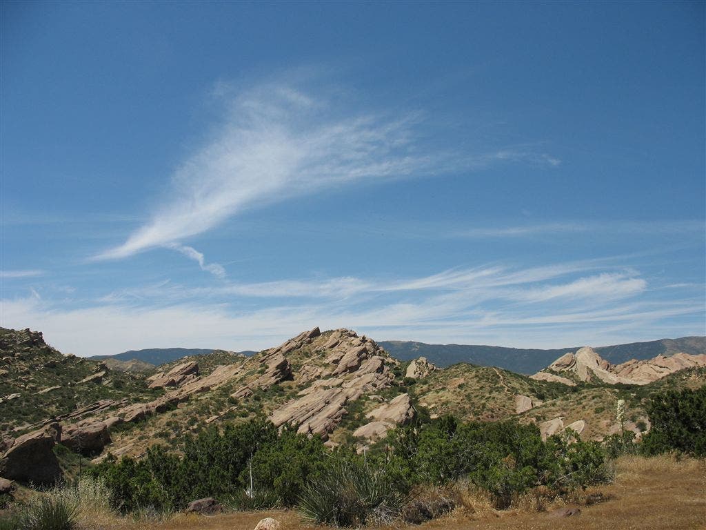
CA14/Antelope Valley Freeway: go under freeway in a large tunnel — impossible to hitchhike here. Ahead pass through scenic Vasquez Rocks County Park with bizarre rock formations; lots of poison oak drapes an algae-choked creek ahead
PCT260
Location: 34.480712890625, -118.311256408691
Vasquez Rocks County Park
PCT261
Location: 34.4894180297852, -118.320152282715
Turn L on Escondido Canyon Road, as official PCT section follows the road
PCT262
Location: 34.4890327453613, -118.326316833496
Turn R on Agua Dulce Canyon Road going due N; road is in fact the official PCT; when you reach town, ask around for well-known trail angel house: www.hikerheaven.com
PCT263
Location: 34.4946327209473, -118.326850891113
Agua Dulce; good pizza/cheap breakfast burritos;
More PCT: Next Section | Previous Section
Shady rest
Location: 34.4401550292969, -118.27131652832
PCT’ers find rare shade under a picnic spot. ©Jack Haskel
The last piece of the puzzle
Location: 34.4398918151856, -118.270179748535
Forest Service and BLM-erected monument to the final section of the PCT completed in 1993. ©Jack Haskel
Tunnel CA 14
Location: 34.4751091003418, -118.304695129395
Note the PCT blaze. ©Jack Haskel
Rocky outcrops
Location: 34.4806900024414, -118.312187194824
Below the namesake formations of Vasquez Rocks County Park. ©Jack Haskel
Rocks and sky
Location: 34.4809494018555, -118.31184387207
The uplifted pink-and-red sandstone cliffs of Vaquez Rocks County Park. ©Jack Haskel