Pacific Crest Trail: CA Section 10


Trail Facts
- Distance: 16.9
Waypoints
PCT184
Location: 34.2877159118652, -117.354698181152
CA 138
PCT185
Location: 34.2948989868164, -117.37801361084
Saddle and dirt road
PCT186
Location: 34.2987174987793, -117.384635925293
Creek-lined wash
PCT187
Location: 34.3126487731934, -117.410385131836
Creek in Little Horse Thief Canyon
PCT188
Location: 34.3173332214356, -117.432098388672
Cross dirt road and powerline
PCT189
Location: 34.3171844482422, -117.436569213867
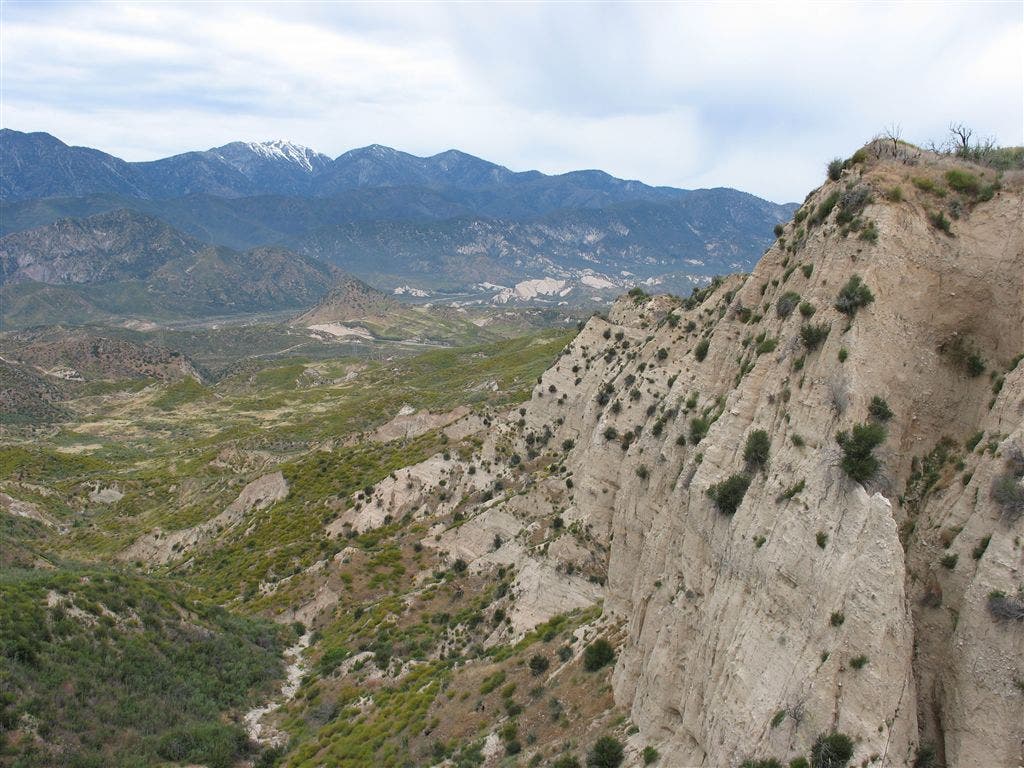
Great view towards Cajon Pass and San Antonio Mountain
PCT190
Location: 34.316764831543, -117.45386505127
Cross dirt road
PCT191
Location: 34.3140678405762, -117.461700439453
Creek in Crowder Canyon
PCT192
Location: 34.3091659545898, -117.470230102539
McD’s @ Cajon Pass; this fast food restaurant is a PCT establishment.
PCT193
Location: 34.305965423584, -117.466300964355
R to Golden Arches. Or, continue into tunnel.
More PCT: Next Section | Previous Section
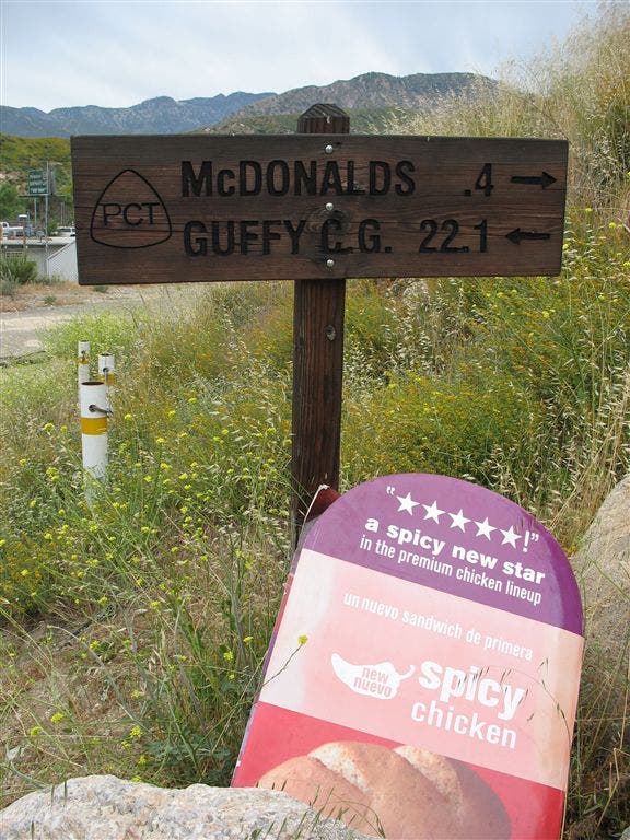
Unique trail sign
Location: 34.3060989379883, -117.466003417969
©Jack Haskel
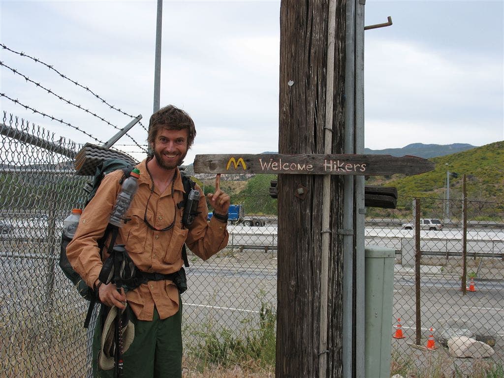
On the way to McD’s
Location: 34.3060531616211, -117.466186523438
Our intrepid contributor stands at a trail sign to the only McDonald’s near the PCT. ©Jack Haskel
Steep cliffs
Location: 34.3175315856934, -117.437660217285
A cliff frames the view towards Cajon Pass and San Antonio Mountain. ©Jack Haskel