Updated February 3, 2025 01:23PM
The Last Section of the Pacific Crest Trail Might Just Be the Most Beautiful
Which is good, because you'll need to hike it twice.
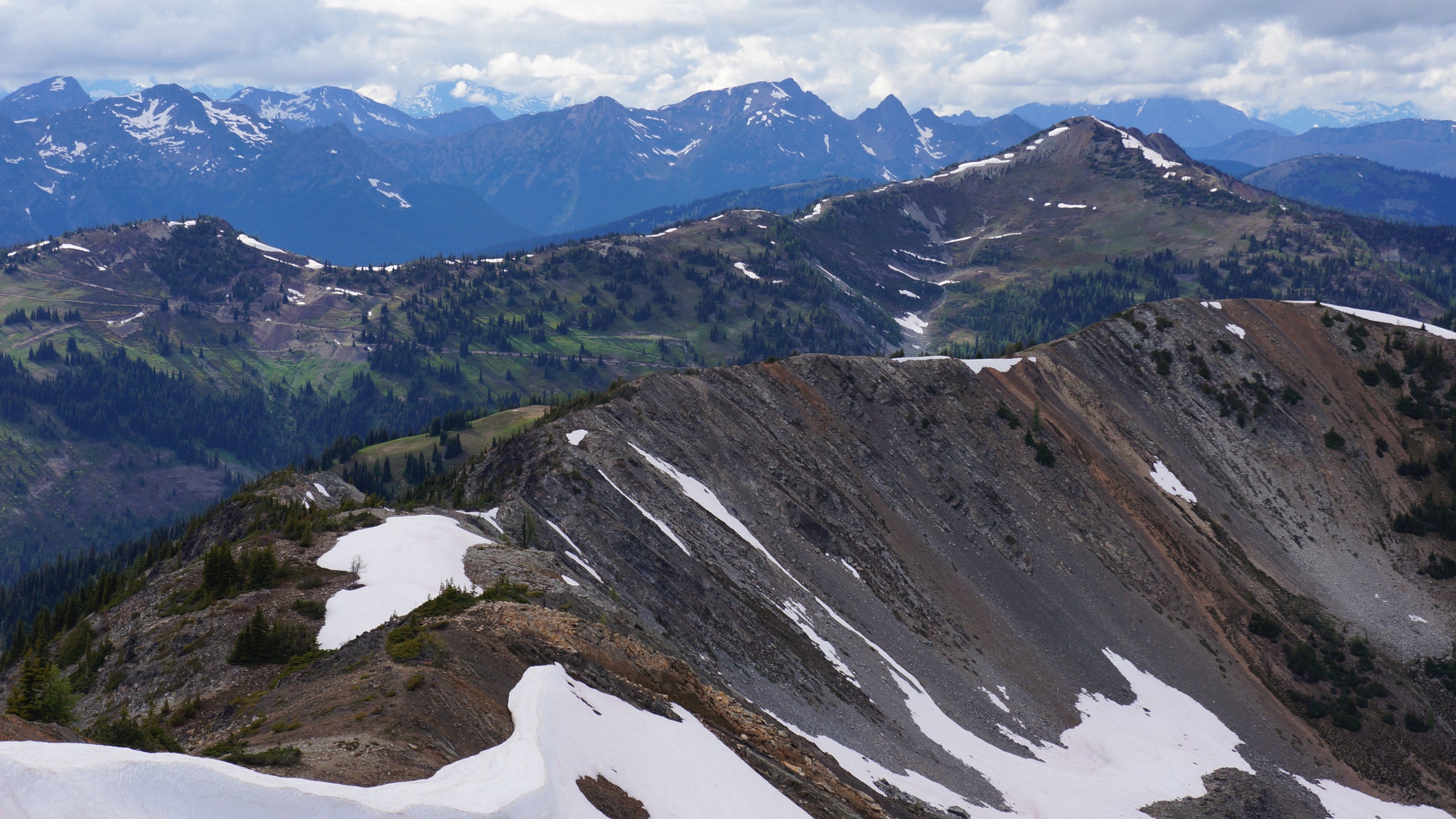
Tamarack Peak, photographed from Slate Peak, near Harts Pass (Photo: Martin Bravenboer via Flickr)
On this 30-mile leg from Harts Pass to Canada’s Manning Provincial Park (where thru-hikers used to exit the trail), you’ll enjoy a vista-to-backpacker ratio that borders on the ludicrous. What’s more, the half-million-acre Pasayten is big and wild enough to harbor grizzlies and gray wolves that wander across the border from British Columbia, plus the largest concentration of lynx in the contiguous United States. And unlike sections farther south, where extreme vertical topography pushes the path off the crest, the PCT stays high here, riding the Pasayten’s broader ridges and open meadows. Go light on raingear: This area sits in the Cascades rain shadow, which means you’ll get views of Mt. Baker, North Cascades National Park, and the needlelike Picket Range—without their sloppy weather.
Local Wisdom: The best month on this section of trail is September. Summer’s bugs are gone, nights are cool, and the larch and scrub maple turn a vibrant gold and red, respectively, contrasting photogenically with the deep green of the spruce.