Oregon Coast Trail: Seaside to Arch Cape

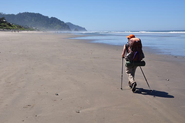
The 382-mile Oregon Coast Trail (OCT) is your gateway to the state’s entire Pacific edge: rainforests, sea stacks, and beaches, as well as shoreline towns for grabbing ice cream on the way. This 15.7-mile section, only an hour from Portland, offers the perfect balance of convenience, scenery, and wild moments. Take three days to accommodate sparse camping and several spots passable only at low tide. Top off water at frequent frontcountry sites: the campsites are dry.
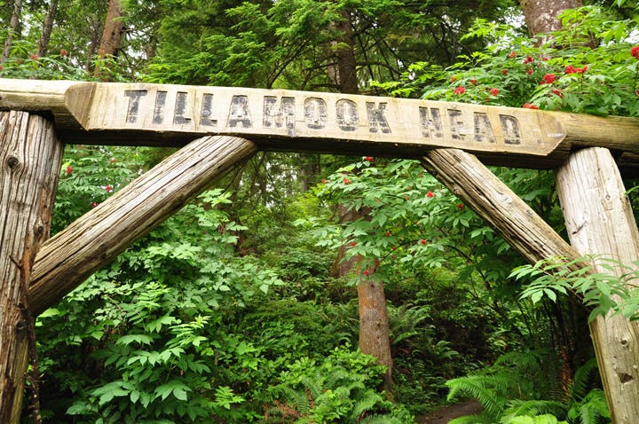
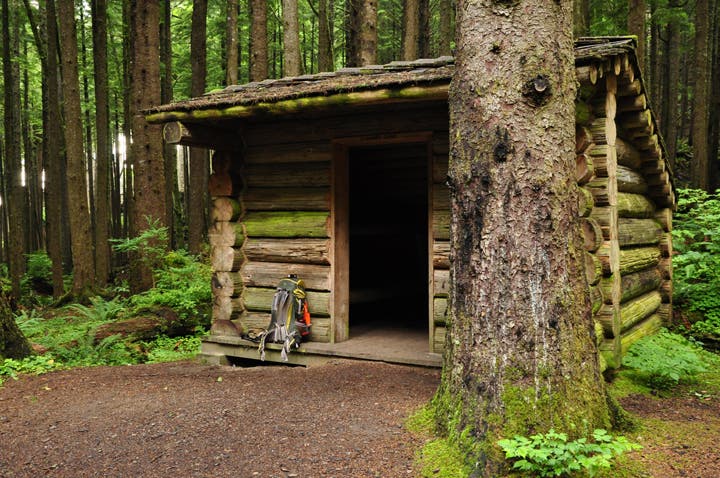
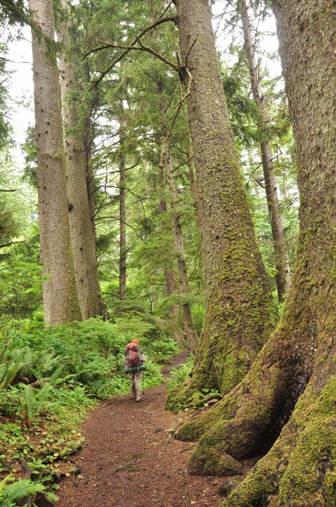
From the north end of Ecola State Park, head south on the OCT, climbing 1,000 feet through spruce and alder rainforest to the bluffs of Tillamook Head. Hit Ecola’s backpacker’s camp at mile 3.6, where you can pitch your tent or luxe it up in four-bunk shelters (both first-come, first-serve).
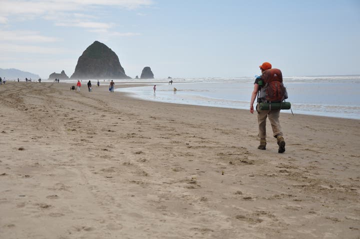
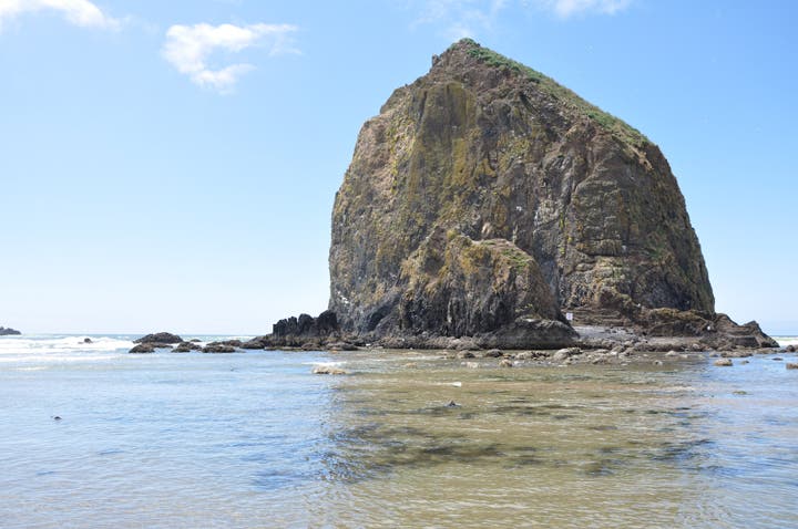
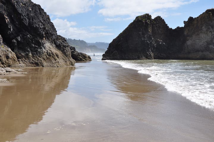
In the morning, continue south 1.3 miles on a gravel road, then detour down to Indian Beach’s tide pools. Continue south on the OCT above the beach for 1.2 miles to Ecola Point. From the upper parking area restroom (a good water source), the trail winds a mile through spruce and hemlock forest with occasional ocean views before petering out at Ecola Park Road; walk the roadside for .8 mile to enter the coastal community of Cannon Beach (lunch options abound). Access the beach at the west end of 2nd Street and head south. After a mile, pass toothy, 235-foot Haystack Rock . At mile 11.4, Silver Point’s rocky abutment is passable only during lower tides. Continue along the beach, past Jockey Cap, a large sea stack. Cross Clayton Creek to Humbug Point, also passable only during low tide. Roughly a mile south, drop your gear at a campsite in a cliffside nook.
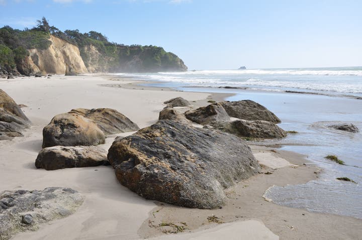
Day three, round Hug Point near lowest tide. Continue south along the beach through Hug Point State Park to the beachfront community of Arch Cape. Proceed nearly to the impassable Arch Cape; exit onto Leech Lane and walk .5 mile to US 101 (get a cab back to Seaside; see right)..
-Mapped by Eli Boschetto, BoscoMountainPhoto

Trail Facts
- Distance: 25.2
Waypoints
SEA001
Location: 45.973556, -123.954161
Ecola State Park trailhead. No overnight parking; park down road in residential area.
From the north end of Ecola State Park, head south on the OCT, climbing 1,000 feet through spruce and alder rainforest to the bluffs of Tillamook Head.
SEA002
Location: 45.971562, -123.955986
Trail junction; continue straight (south) on OCT.
SEA003
Location: 45.961712, -123.968686
Cross a wooden boardwalk thru this marshy section of trail.
SEA004
Location: 45.960812, -123.968784
Find a short side trail to clifftop ocean views.
SEA005
Location: 45.951335, -123.97595
Good “window” thru the trees with ocean views.
SEA006
Location: 45.945941, -123.986706
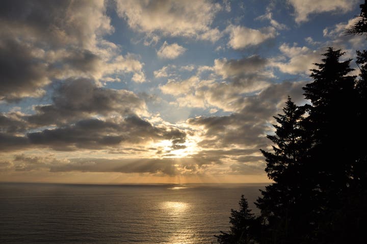
“Summit” of Tillamook Head; good ocean views.
SEA007
Location: 45.942667, -123.984904
Hit Ecola’s backpacker’s camp at mile 3.6, where you can pitch your tent or luxe it up in four-bunk shelters (both first-come, first-serve). In the morning, continue south 1.3 miles on a gravel road. Optional: A short path descends west to the Tillamook Head viewpoint.
SEA008
Location: 45.942199, -123.988092
Tillamook Head viewpoint; ocean views with Tillamook Rock Lighthouse 1.5 miles offshore.
SEA009
Location: 45.931296, -123.978617
Restroom at Indian Beach.
SEA010
Location: 45.931057, -123.978507
Detour down to Indian Beach’s tide pools, then continue south on the OCT above the beach for 1.2 miles.
SEA011
Location: 45.930362, -123.977682
Cross a wooden bridge over Canyon Creek.
SEA012
Location: 45.92783, -123.976797
Good viewpoint of Indian Beach arch and sea stacks.
SEA013
Location: 45.919321, -123.974264
Ecola Point. Paved trail west leads to Ecola Point viewpoint.
SEA014
Location: 45.919115, -123.973074
From the upper parking area restroom (a good water source), the trail winds a mile through spruce and hemlock forest with occasional ocean views.
SEA015
Location: 45.917193, -123.971302
Good viewpoint of Crescent Beach.
SEA016
Location: 45.915482, -123.967763
Small creek crossing.
SEA017
Location: 45.912346, -123.967482
Short side trail right (west) to Crescent Beach.
SEA018
Location: 45.911756, -123.965248
Trail peters out at Ecola Park Road; turn right (south) to walk the roadside for .8 mile to enter the coastal community of Cannon Beach. Access the beach at the west end of 2nd Street and head south.
SEA019
Location: 45.903726, -123.959737
Turn left on 5th Street.
SEA020
Location: 45.90265, -123.957445
Turn right on Fir Street; cross bridge over Ecola Creek and enter the coastal community of Cannon Beach (lunch options abound).
SEA021
Location: 45.900571, -123.95857
Turn right on 3rd Street. Good food at El Mariachi and Lumberyard Grill.
SEA022
Location: 45.900499, -123.960017
Quick left turn on Spruce Street, then right to continue on 3rd Street.
SEA023
Location: 45.900036, -123.960886
Left on Hemlock Street.
SEA024
Location: 45.898297, -123.960854
Right on 2nd Street; descend to beach and continue south.
SEA025
Location: 45.898081, -123.959682
Public restroom on corner of 2nd Street and Spruce Street.
SEA026
Location: 45.897423, -123.960886
Grocery store.
SEA027
Location: 45.884334, -123.965946
Pass toothy, 235-foot Haystack Rock.
SEA028
Location: 45.857608, -123.964311
At mile 11.4, Silver Point’s rocky abutment is passable only during lower tides. Continue along the beach, past Jockey Cap, a large sea stack. Cross Clayton Creek.
SEA029
Location: 45.848075, -123.962227
Humbug Point, also passable only during low tide.
SEA030
Location: 45.834528, -123.961298
Roughly a mile south, drop your gear at a campsite in a cliffside nook.
SEA031
Location: 45.831534, -123.963062
Day three, round Hug Point near lowest tide.
SEA032
Location: 45.830967, -123.962409
Hug Point sea caves.
SEA033
Location: 45.829846, -123.961916
Small waterfall on Fall Creek. Not a reliable source of water.
SEA034
Location: 45.823057, -123.962941
Continue south along the beach through Hug Point State Park to the beachfront community of Arch Cape .
SEA035
Location: 45.804452, -123.966121
Proceed nearly to the impassable Arch Cape; exit onto Leech Lane and walk .5 mile to US 101.
SEA036
Location: 45.80436, -123.964331
End of route.
Oregon Coast Trailhead
Location: 45.973225, -123.95359
Adirondack Shelters
Location: 45.942913, -123.984575
View from Tillamook Head
Location: 45.942257, -123.988608
Indian Beach
Location: 45.930498, -123.978653
Old-Growth Forest
Location: 45.922438, -123.974018
The Beach
Location: 45.895922, -123.965092
Haystack Rock
Location: 45.884213, -123.965693
Humbug Point
Location: 45.848952, -123.962002
Hug Point
Location: 45.832388, -123.962432
Arch Cape
Location: 45.814922, -123.96389