One of the Best Thru-Hikes in America is Hidden in the Ozarks

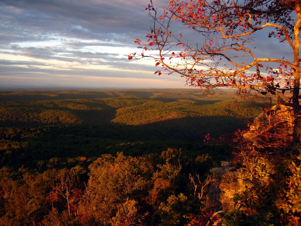
The sun rises over ridges with valley fog in the remote Ozark Mountains. (Photo: Paul Knightly via Getty Images)
Go deeper: Outside+ members get access to everything Backpacker publishes, from long trail guides like this one to full-length gear reviews and survival stories. Sign up today, and you’ll also get great benefits like print subscriptions, access to our sibling titles like Climbing and Yoga Journal, and a premium membership to Gaia GPS.
When most people think of thru-hiking, they think of the Appalachians’ green tunnel or the craggy peaks and desert valleys of the Pacific Crest Trail, not Arkansas’s thickly-timbered, rolling Ozarks. But maybe they should: The Ozark Highlands Trail (OHT), currently 270 miles long (with 50 more trail miles in the works), travels through a stretch of American wilderness in the northern half of the state that doesn’t see nearly the crowding of major trailheads on the coast. The Forest Service calls it “one of the most scenic trails in the US,” and we’d tend to agree. The best part? With little thru-hiker traffic, you can have ridgelines, peaks, and valleys all to yourself—provided you’re willing to work for them.
You can access the OHT from any of a few dozen trailheads spread across the region. Section hikers can pick from rocky ridgelines looking out across rolling, fog-hung hills; limestone canyons bursting with waterfalls; or river valleys where elk, black bears, bobcats, and armadillos roam. Thru-hikers, of course, get to experience it all, from the trail’s high point at 2,400 foot Hare Mountain to the precipitous limestone gorges of the Richland Creek Wilderness. Want to extend your hike even further? The Ozark Highlands Trail Association plans to connect with the 390-mile Ozark Trail in Missouri.
Hiking the Ozark Highlands Trail

The westernmost segment of the OHT, known as the Boston Mountains segment for the range it travels through, contains some of the highest and roughest parts of the Ozarks. Starting from Lake Fort Smith, the path heads towards White Rock Mountain, then winds up and down a series of hollows and peaks to the trail’s high point at Hare Mountain. The terrain doesn’t ease from there, though, continuing to alternate between ridgelines, summits, and valleys filled with hardwood forests for over 10,000 feet of elevation gain. Another highlight is the natural bridge in Hurricane Creek Wilderness, a stone arch rising high above the forest floor. The final stretch of the segment heads through the waterfall-rich Richland Creek Wilderness, a wonderland of cascades over stepped limestone and vibrant woodlands. Don’t want to tackle the whole 164 miles of the Boston Mountains segment? You can hop on or off the trail at White Rock Mountain, Cherry Bend, Lick Branch, Ozone Campground, or half a dozen other campgrounds and trailheads.
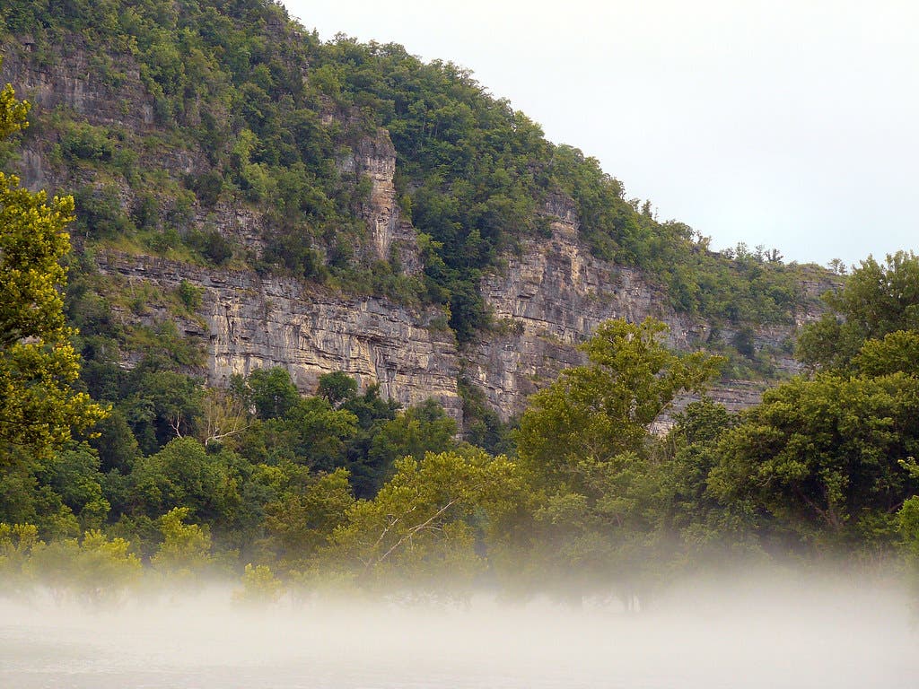
The next segment of trail follows the Buffalo River for 43 miles, alternating between lowland creeks and river valleys and high bluffs. The bluffs have excellent views of the Buffalo River Valley and surrounding hills, and are also quite often the site of archaeological finds like chert blades, arrowheads, and pottery from the area’s ancestral Native inhabitants (leave anything you spot). his segment starts at Woolum Ford, but a reroute will be necessary if the river is running too high; start at Dave Manes Bluff instead. Finish off this section hike with a 15-mile bushwhack from Dillard’s Ferry to the Spring Creek Trailhead.
After the Buffalo River comes Sylamore, which heads up the Richland Valley. Most of the trail here goes through deep woods cut by creeks, with the occasional climb to a high knob. Waterfalls are common; keep an eye out for cascades wherever the creeks drop over some of the region’s limestone bedrock. You can spot wildlife here, too, from the commonly-spotted black-tail deer and white-tail deer to the occasional elusive bobcat. Start from the Spring Creek Trailhead (be careful not to confuse this trailhead with the Spring Creek Road midway through the Buffalo River segment). You can finish (or start) at any of four more trailheads along the trail: Moccasin Springs (mile 9), Cripple Turkey (mile 14.4), Brush Creek (mile 18.1), or Matney Knob (mile 31.6).
The final, easternmost segment of the trail is known as Lake Norfolk, for the body of water it runs along. This section is still under construction, so it’s split into two parts: The 13-mile Lake Norfolk Trail and 17-mile David’s Trail. The Lake Norfolk Trail starts from the dam at the western end of the lake, then heads into the Sycamore Highlands before dipping down to George’s Cove. From there it heads to Tracey Park before ending at the CR 1028 road. The David’s Trail section starts from Robinson Point, then rounds Panther Bay. From the bay it climbs to Bidwell Point Recreation Area before finishing at the Red Bank Recreation Area. As this is the least-constructed section of trail, maps are in the works but not yet available.
Ozark Highlands Trail Stewards

Want to help finish what could be America’s most spectacular long trail? The entire OHT is built and maintained by the nonprofit Ozark Highlands Trail Association, an all-volunteer group that builds new sections of trail, repairs older ones, and runs several outings per year to enjoy the route. The trips are open to the public (work parties require membership for insurance reasons). They also run educational programs on low-impact camping and hiking.
What You Should Know About Hiking the Ozark Highlands Trail
Resupplying can be a challenge on the OHT: According to the Ozark Highlands Trail Association, there are currently no grocery stores located within reasonable hiking distance of the trail. Your most convenient bets for resupplying will be to mail your food to post offices in Ozone and Pelsor, which are within a few miles of the trail. Unlike resupplying, the permit situation on the Ozark Highlands Trail is relatively simple: You don’t need them. Camping is permitted in most places, as long as you’re 200 feet away from the trail or any water source.