Published September 20, 2013 03:30PM
Olympic National Park: Mount Townsend via Little Quilcene River (No. 835)
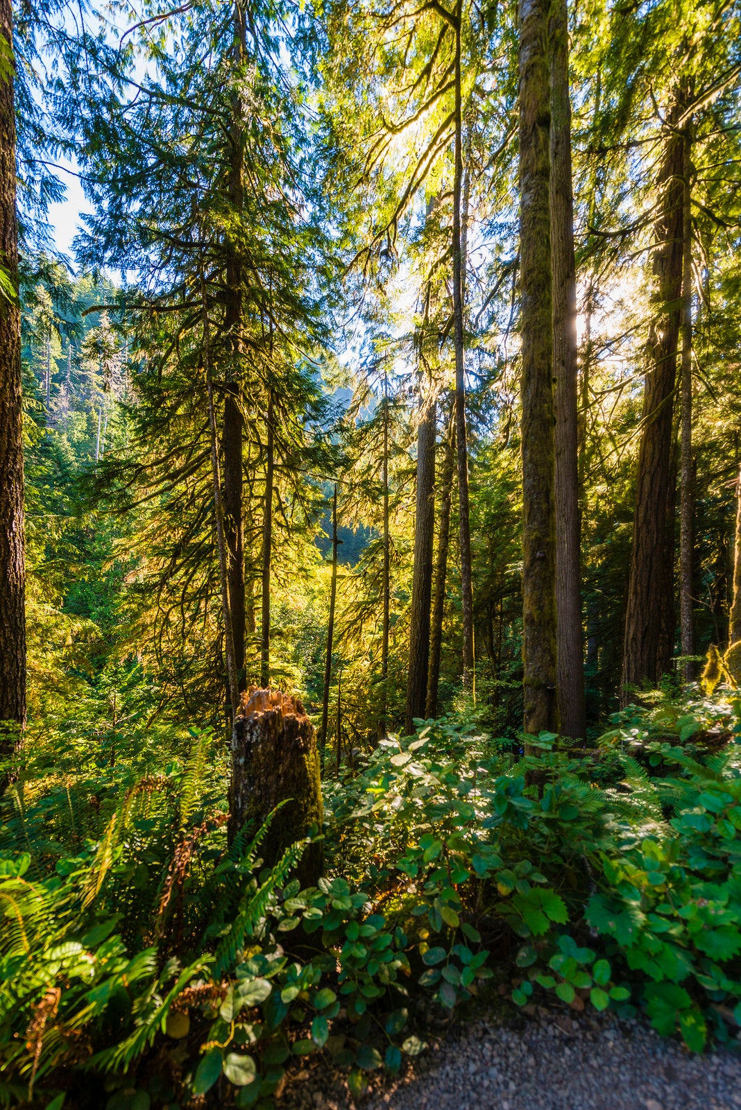
A 7.4-mile hike with nonstop views of the Olympics, leading to a summit on the eastern edge of Olympic National Park.
'LDELD'
Trail Facts
- Distance: 5.6
Waypoints
MTT001
Location: 47.8867340087891, -123.041732788086
Trailhead to Mount Townsend, North approach
MTT002
Location: 47.8846054077148, -123.054168701172
Initial climb crests @ Little River Summit; stellar views
MTT003
Location: 47.8785972595215, -123.064842224121
Views to the N down famed Sleepy Hollow
MTT004
Location: 47.8787040710449, -123.067337036133
Start second climb, toward North Summit
MTT005
Location: 47.880313873291, -123.069145202637
Junction with Dirty Face Ridge Trail; views to Silver Creek Valley
MTT006
Location: 47.8754615783691, -123.069786071777
Start of alpine meadows; look for wildflowers starting in May
MTT007
Location: 47.8737182617188, -123.06916809082
Views of North Summit, Silver Creek Valley, and Little Quilcene headwaters
MTT008
Location: 47.8724327087402, -123.064613342285
Side trail skirts North Summit; stay L and climb for best views
MTT009
Location: 47.8727760314941, -123.062210083008
Summit, North Mt. Townsend
MTT010
Location: 47.8675498962402, -123.059501647949
True summit of Mt. Townsend; killer views of National Park and Hood Canal to E
MTT011
Location: 47.8637886047363, -123.060836791992
ADVERTISEMENT
View down into Townsend Creek Valley and W into Silver Lake Basin; return the way you came