Copper Ridge to Big Beaver Trail in North Cascades National Park in Photos

Trail Facts
Distance:
Elevation Gain:
Difficulty:
The Route in Photos
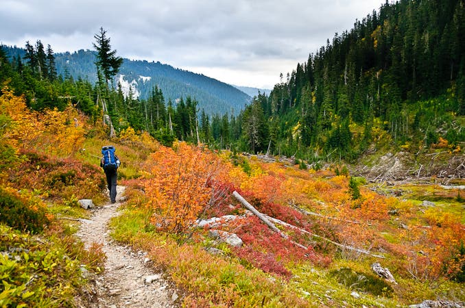
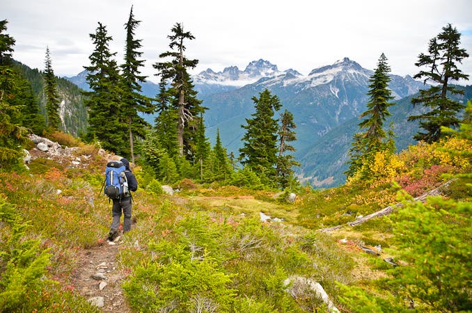
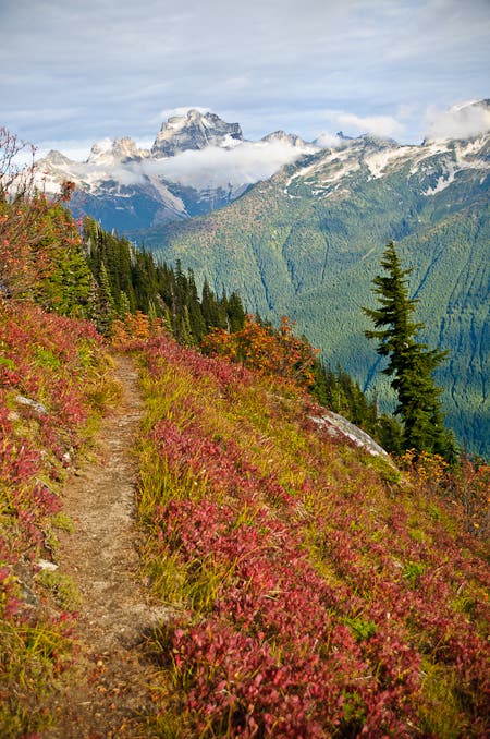
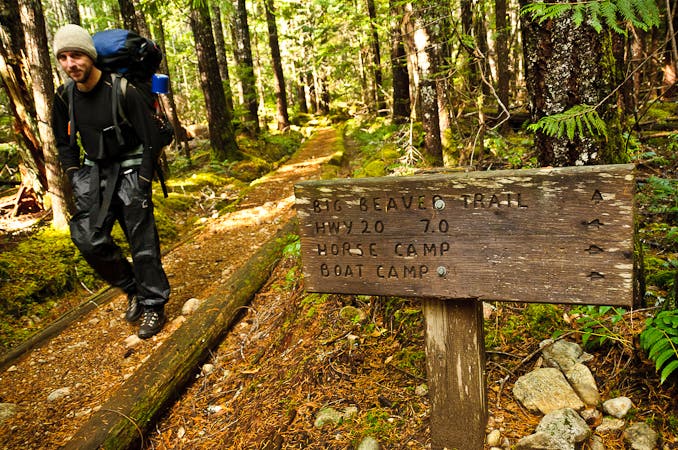
Connect Hannegan Pass, Copper Ridge, Chilliwack, Brush Creek, Little Beaver, and Big Beaver trails. Spend the night at Egg Lake, Indian Creek, Whatcom, and Luna camps.
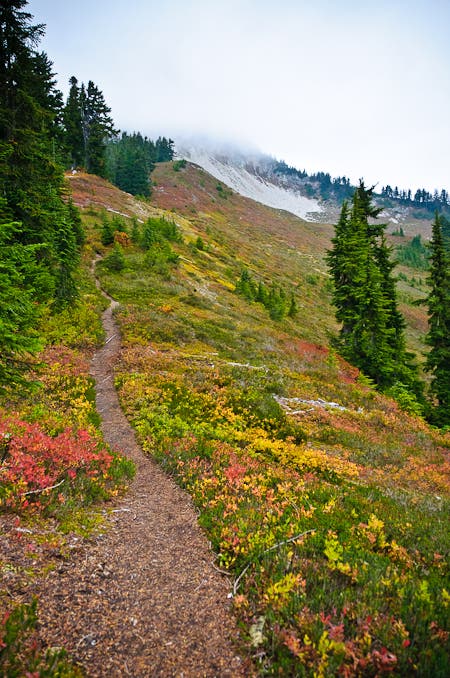
Why You’ll Love This Hike
Views
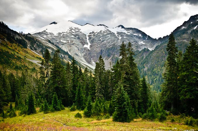
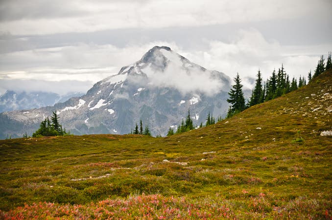
Mt. Sefrit, the highpoint of the Nooksack Ridge at 7,191 feet, rises directly to the south.
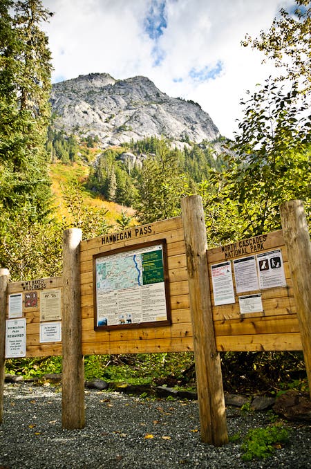
Hannegan Pass
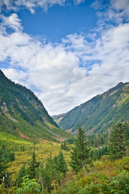
Chilliwack River Valley
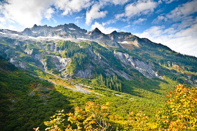
Silesia Creek drainage
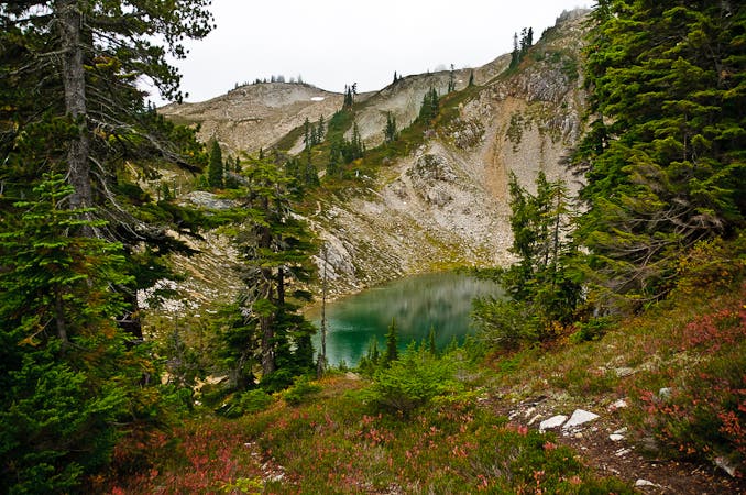
Egg Lake
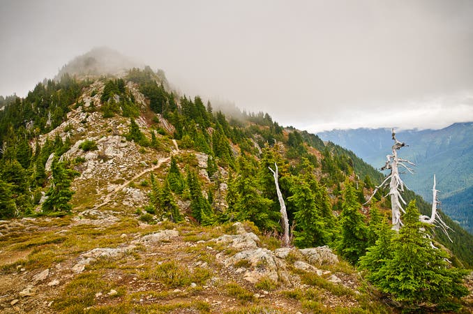
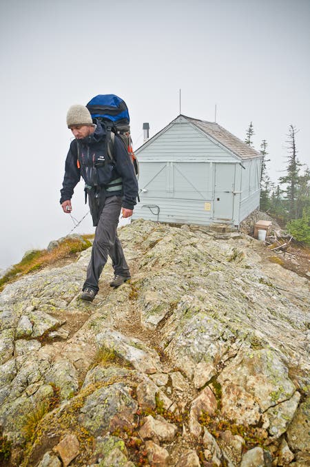
Copper Ridge Lookout Tower (marks the highpoint of the ridge)
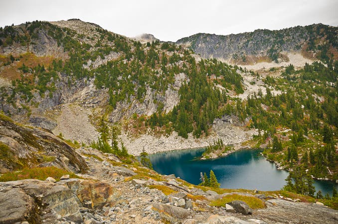
Copper Lake (Kool-Aid blue)
look for finger-shaped Chilliwack Lake, which lies just north of the border in British Columbia
Whatcom Pass (5,206 ft.): The ridge that rises to the south from this small pass tops out on 7,574-foot Whatcom Peak.
Beaver Pass
Permits and Logistics
Permit: Yes. Overnight camping in North Cascades National Park requires a free backcountry permit.
Trailheads: Western trailhead/start: From Marblemount, go 39 miles west on WA 20. Turn right on WA 9 N. In 22 miles, turn right on WA 542 E. In 32 miles, bear left on NFD 32. Go 5.3 miles to Hannegan Campground trailhead.
Eastern trailhead/end: From Marblemount, drive east on WA 20. In .9 mile, turn left on WA 20 and go 28 miles to Ross Dam parking pull-out.
Shuttle: Ross Dam to Hannegan Campground. Mountain Transporter, $425 (up to four people), (509) 996-8294; methownet.com/mountaintransporter.html
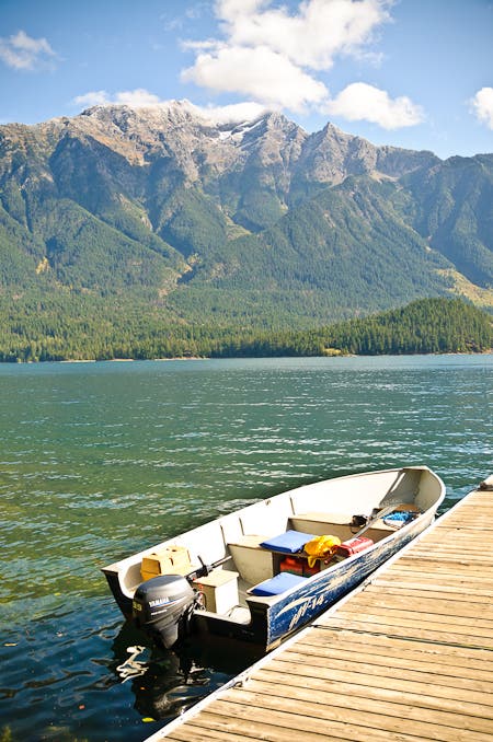
Water Taxi: 4.1-mile water taxi ride to Ross Dam (reserve ahead of time with Ross Lake Resort). Go from Big Beaver to Ross Dam with Ross Lake Resort, $50 (up to six people), (206) 386-4437; rosslakeresort.com
Wildlife Sightings: If you see any of the following animals, please describe your observations to a park ranger: bats, black bears, bobcats, cougars, coyote, ducks, elk, fishers, fox, grizzly bears, harlequin ducks, loons, lynx, marbled murrelets, moose, mountain goats, owls, peregrine falcons, wolverines, or wolves. Please note the location, time, and length of the observation, distance from the animal, and a description of the animal (activity or behavior). If you’re a safe distance from the animal (100 yards), please take a photo and send it to a park ranger.
The Map: Copper Ridge to Big Beaver Trail Hike
-Mapped by Kim Phillips and Matt Vellone