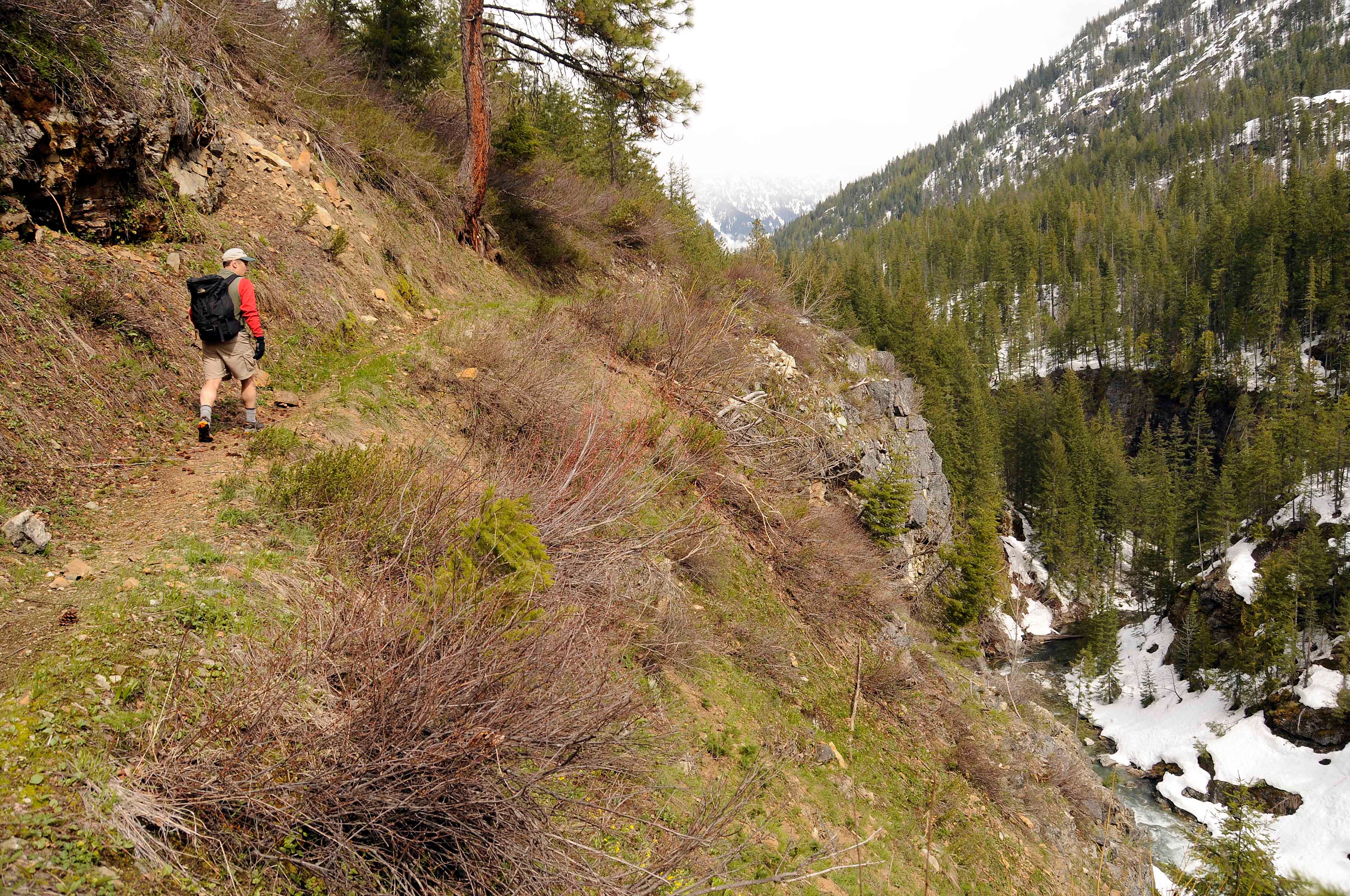
North Cascades National Park: Agnes Gorge

From Stehekin Valley Road, hike northwest on a trail peppered with mossy rock. The path winds across a glacial moraine whose source carved out the Stehekin River Valley. After half a mile, the trail ascends to the west through lush forest, then crosses talus-covered slopes bordered by cliffs. (Views extend up the Stehekin River Valley and the Agnes Creek Valley.) After 1.2 miles, turn left onto the Pacific Crest Trail for the descent to High Bridge, the site of several historic buildings and the ranger patrol station. Cross over the Stehekin River to connect with the Agnes Gorge Trail.
From here, the route travels above Agnes Gorge, passing massive, old-growth western red cedars and brilliant wildflower displays. Take in tremendous views of the huge horseshoe bend in Agnes Creek as it flows out of a very deep section of the gorge. Two separate waterfalls plummet off the cliffs into the depths of the gorge at mile 3.9 (this out-and-back’s turnaround point).
-Mapped by Alan Bauer, Alan Bauer Photography

Trail Facts
- Distance: 6.4
Waypoints
AGN001
Location: 48.380218, -120.812637
From the dirt Stehekin Valley Road, hike northwest on a narrow trail covered with mossy rocks. The path winds across a glacial moraine left thousands of years ago from the retreating North Cascades Glacier (which carved out the Stehekin River Valley).
AGN002
Location: 48.380703, -120.820648
Turn left @ 3-way junction (a trail enters on the right). Next, ascend to the west through lush forest.
AGN003
Location: 48.380894, -120.827148
The forest opens up as the trail traverses talus-covered slopes bordered by cliffs. Listen to squeaking pikas and look for raptors soaring overhead. Views extend up the Stehekin River Valley and the Agnes Creek Valley.
AGN004
Location: 48.381661, -120.834496
Turn left onto the Pacific Crest Trail (PCT) for a descent to High Bridge.
AGN005
Location: 48.379997, -120.838112
High Bridge: The trail winds past historic buildings. Note: The ranger patrol station here houses National Park Service employees so respect their private residence. Next, hike over the Stehekin River on High Bridge (check out the views up and down the river) and connect with the Agnes Gorge Trail.
AGN006
Location: 48.379768, -120.839592
Continue straight on Stehekin Valley Road @ the 3-way junction with the Pacific Crest Trail. Ahead, and pass a campground.
AGN007
Location: 48.380596, -120.840294
Turn left off the Stehekin Road onto the Agnes Gorge Trail.
AGN008
Location: 48.374474, -120.850388
Stop to admire the massive, old-growth, western red cedars in this lush area. Western trilliums, wild ginger, yellow violets, and glacier lilies speckle the ground.
AGN009
Location: 48.371834, -120.853455
Pass a nicely crafted sign marking the boundary of the Glacier Peak Wilderness. The trail temporarily leaves the national recreation area as it winds farther up Agnes Gorge.
AGN010
Location: 48.371338, -120.856895
Ford the creek, then head southwest. If you’re hiking here during the snowmelt, you may get your feet wet.
AGN011
Location: 48.369755, -120.85862
Take in tremendous views of the huge horseshoe bend in Agnes Creek as it flows out of a very deep section of the gorge.
AGN012
Location: 48.364491, -120.868492
From this vantage point, you can see two waterfalls plummeting off the cliffs into the depths of the gorge–watch your footing. A suspension bridge (and the PCT) used to cross over the gorge at this point. Turn around and retrace your route to the trailhead.
Agnes Gorge
Location: 48.369709, -120.858276
©Alan Bauer