Newark, NJ: South Mountain Reservation

South Mountain Reservation is one of the last bastions of preserved space in a highly developed section of Northeastern New Jersey. The 2,000-acre tract encompasses a network of trails along braided streams and quiet forests. Despite its tranquil surroundings, visitors can access the park via mass transit, since the Millburn train station is across the street.
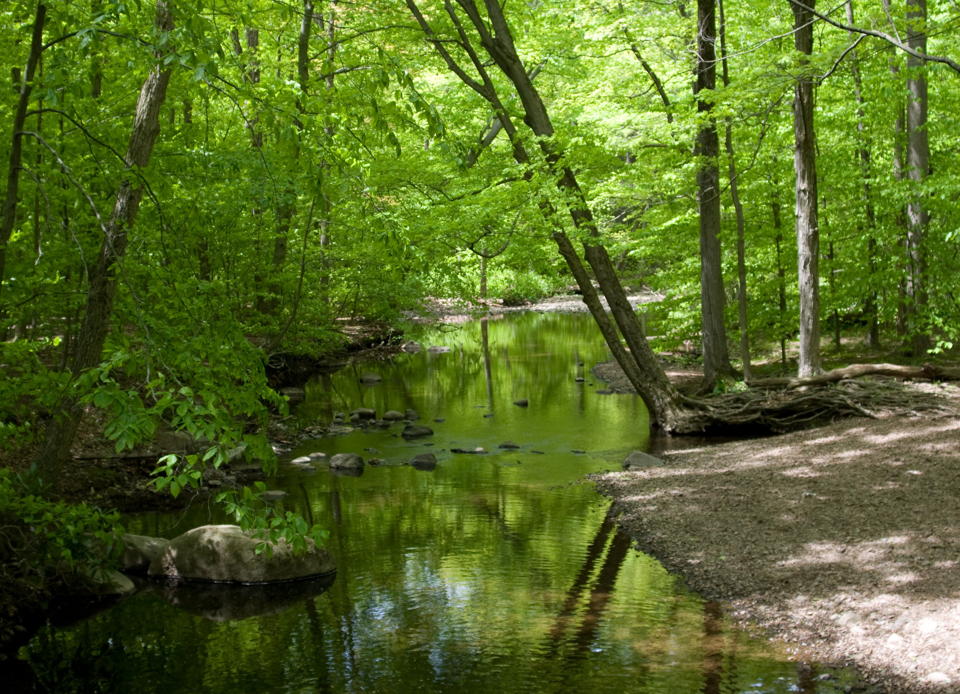
This 6-mile loop begins on the Rahway Trail, which follows the river of the same name north along a series of ponds and dams. Bug spray is recommended during summer months. As the route veers east, you’ll traverse a beautiful woodland setting.
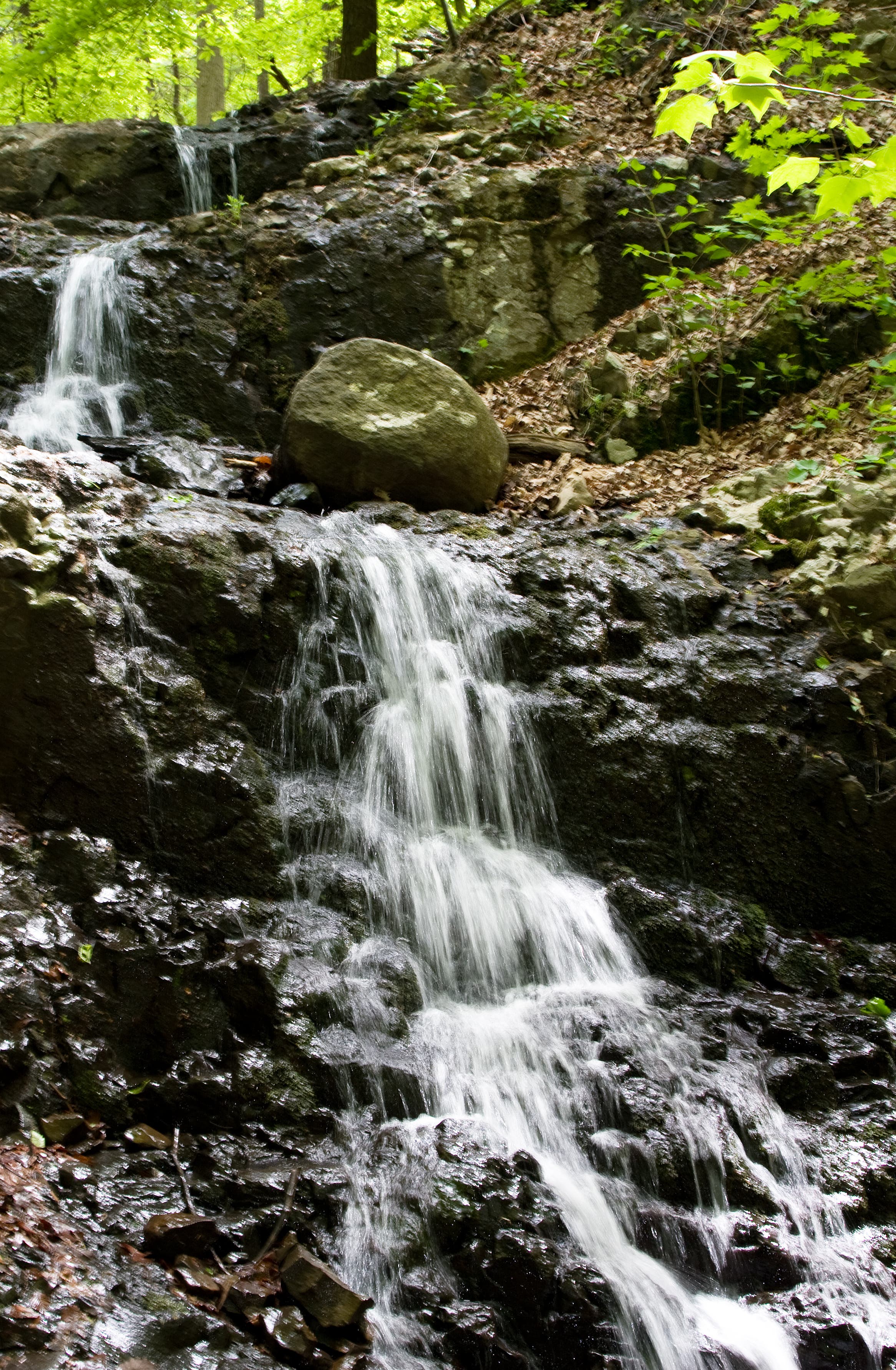
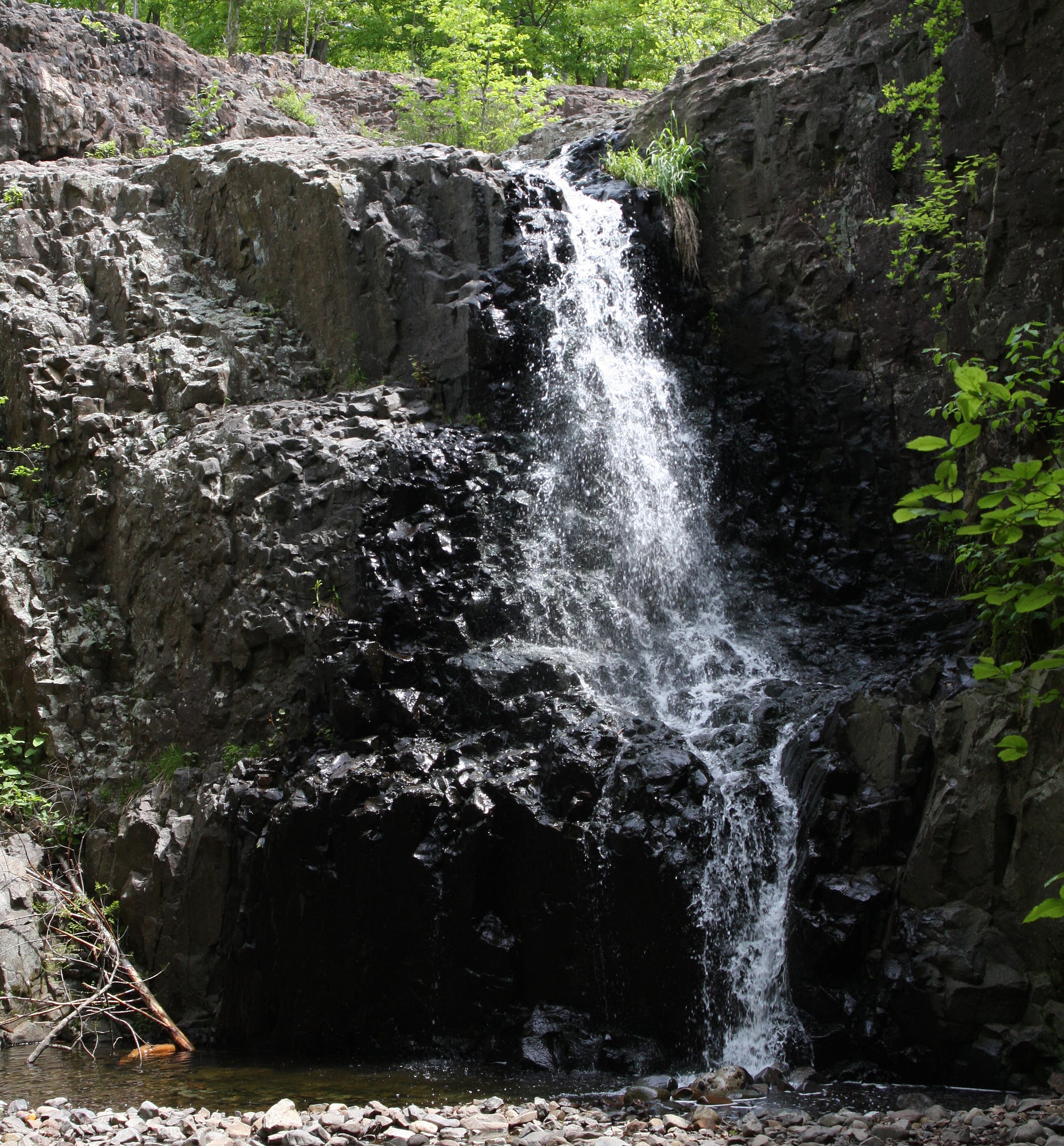
Merge onto the Lenape Trail and follow it to Hemlock Falls. Whitewater pours down the jet-black rock face of an intimate gorge. This is one of the few public spots in the Essex County where a person can grab a sense of solitude and untouched, natural beauty. Climb up the Falls Overlook Trail to explore the headwaters and the upper gorge. Opportunities for sunbathing and wading are excellent here.
From the falls, the route gains a few hundred feet through more woods to a grassy, boulder-strewn summit area. Views of the western hills are unveiled once hikers leave tree cover.
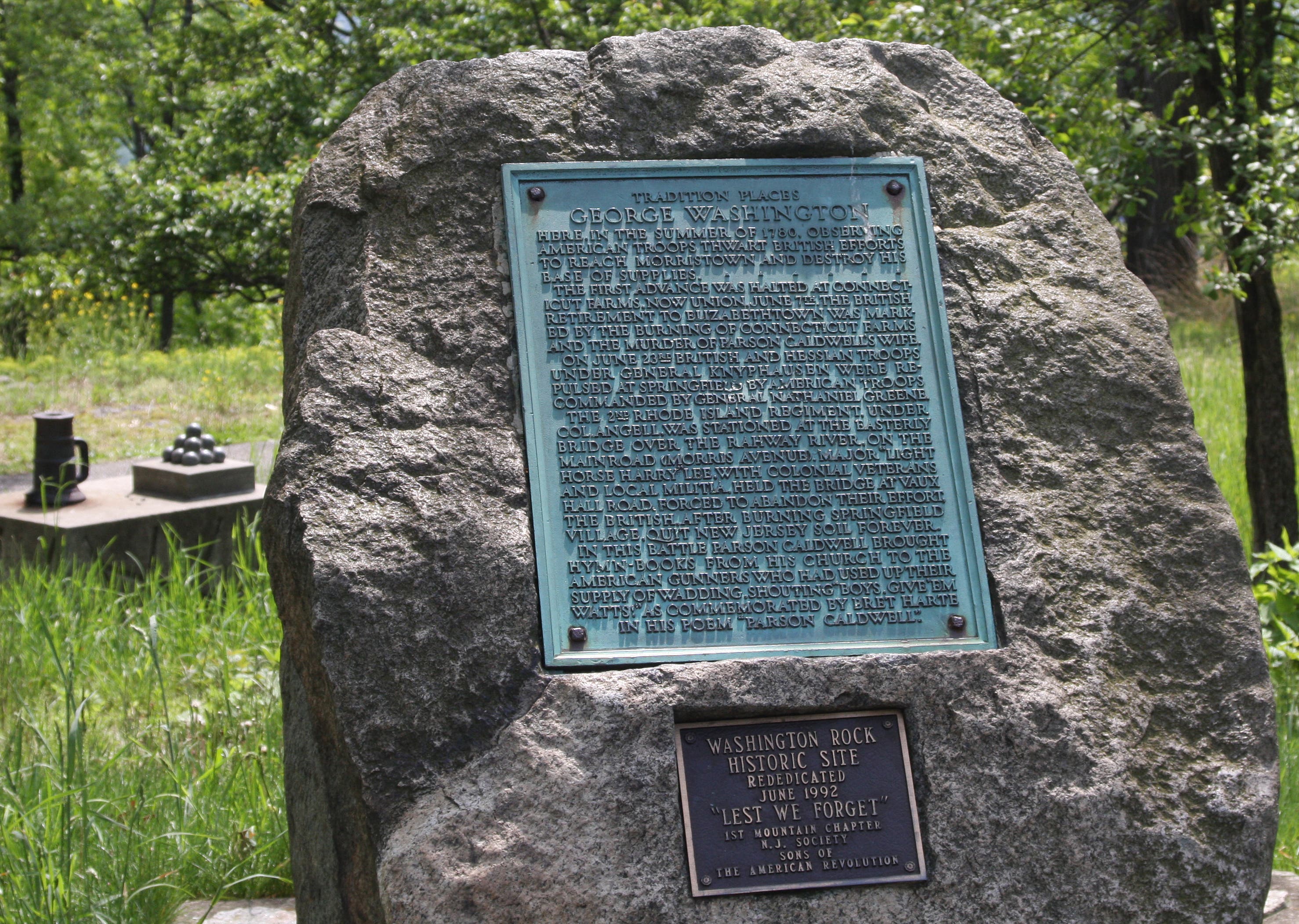
Follow the Lenape Trail east to Washington Rock, a lookout for the Essex County and Newark Militia during the Revolutionary War. At more than 500 feet, this highpoint affords an impressive panorama to the south. This spot is a great place for watching foliage in autumn.
Descend from the monument, walking past a picnic area before closing the loop at the parking lot.
-mapped by MacKenzie Ryan
From NYC: Take the Lincoln Tunnel to NY-495 West. Merge onto I-95 South. Take the exit onto I-78 West. At 4.7 miles, take the Garden State Parkway exit. Merge onto I-78 West. At 3.4 miles, take exit 50B toward Maplewood/Millburn. Turn right at Vauxhall Road. Make a slight left at Millburn Avenue. Turn right at Essex Avenue. Turn right at Lackawanna Place. Turn right at Glen Avenue. Trailhead is on the right side of the road.
Trail Facts
- Distance: 10.1
Waypoints
HEM001
Location: 40.727509, -74.304329
Rahway Trailhead: Find trail maps in the tiny box posted behind the wooden trailhead sign. Follow white blazes and begin hiking the hard-packed, rooty path through a deciduous forest. Cross a narrow footbridge, the first of many in this low-lying area.
HEM002
Location: 40.729301, -74.306493
Go straight at Y-junction and a begin a slight descent toward the Rahway River. The trail traverses a ridgeline just above the water.
HEM003
Location: 40.730452, -74.306814
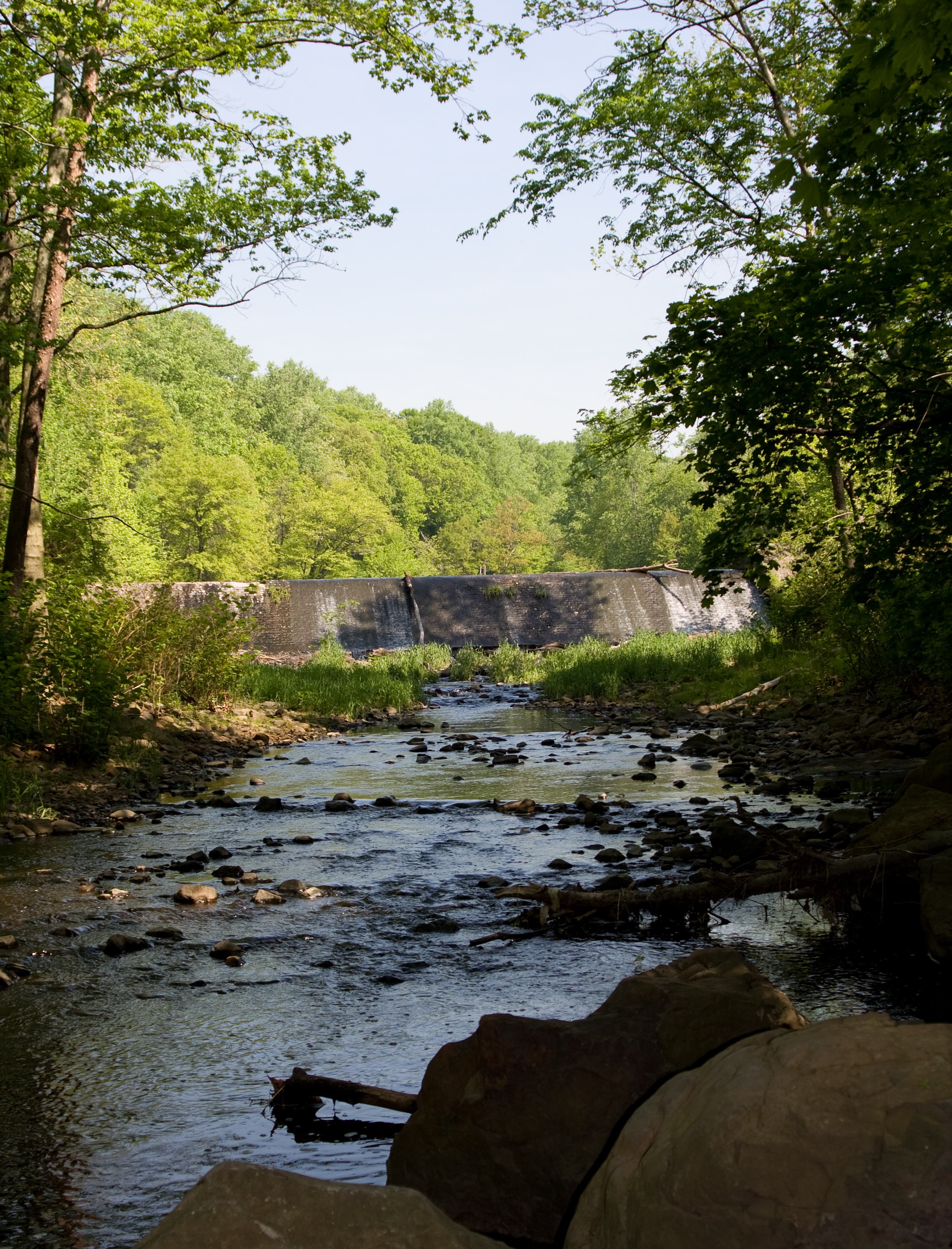
Turn left at Y-junction and take the spur trail to access the dam, its falls, and an intimate creek area. When finished exploring, retrace steps back to Rahway Trail.
HEM004
Location: 40.7313, -74.306293
Turn left at Y-junction and take the second spur trail to explore Diamond Mill Pond. When finished, retrace steps back to main path.
HEM005
Location: 40.732946, -74.306499
Veer left at T-junction. For a short distance, walk north on the access road. Keep an eye out for white blazed trees on the right.
HEM006
Location: 40.733286, -74.306483
Bear right at Y-junction and merge with Rahway Trail. From here, the trail climbs up a rocky, rooty hill.
HEM007
Location: 40.734683, -74.30589
Continue straight at 4-way junction. An access road crosses the Rahway Trail here.
HEM008
Location: 40.734983, -74.305724
Walk straight at 4-way junction with the same access road. Cross over the footbridge. The grade picks up shortly after the bridge, but only for a bit. Keep the river to the left.
HEM009
Location: 40.735947, -74.304746
Turn left to access a short spur trail that takes hikers down to the water and showcases an old cobblestone dam and a large, abandoned pumphouse. When finished, retrace steps back to Rahway Trail.
HEM010
Location: 40.736578, -74.303816
Go straight at 4-way intersection.
HEM011
Location: 40.73765, -74.302993
Bear left at Y-junction with fire road and Rahway Trail. The faint trail dips through a sparse set of woods. Do not pass the three storm drain covers–this indicates hikers have gone too far on the fire road and missed the trail.
HEM012
Location: 40.739151, -74.302211
Continue straight, heading north and ignoring the various spur trails. Here the Rahway Trail will follow the river very closely.
HEM013
Location: 40.739625, -74.301768
Bear left at Y-junction.
HEM014
Location: 40.741139, -74.301879
Pass a skinny bridge on the left, but do not cross it. Walk north through a riparian area.
HEM015
Location: 40.741979, -74.301186
Bear right at Y-junction. Depending on the season, hikers may need to rock-hop across a tiny stream.
HEM016
Location: 40.744053, -74.30012
Go straight at 4-way. To the left, there are short cascades flowing over a dam and another brick pumphouse across the creek.
HEM017
Location: 40.745645, -74.297764
Veer left at Y-junction. To the right is a faint use-trail. The Rahway Trail follows the water.
HEM018
Location: 40.746837, -74.296193
Turn left and cross bridge. Continue on the left side of the river.
HEM019
Location: 40.747307, -74.297431
Turn right onto the narrowing trail and follow the white blazes.
HEM020
Location: 40.752657, -74.292845
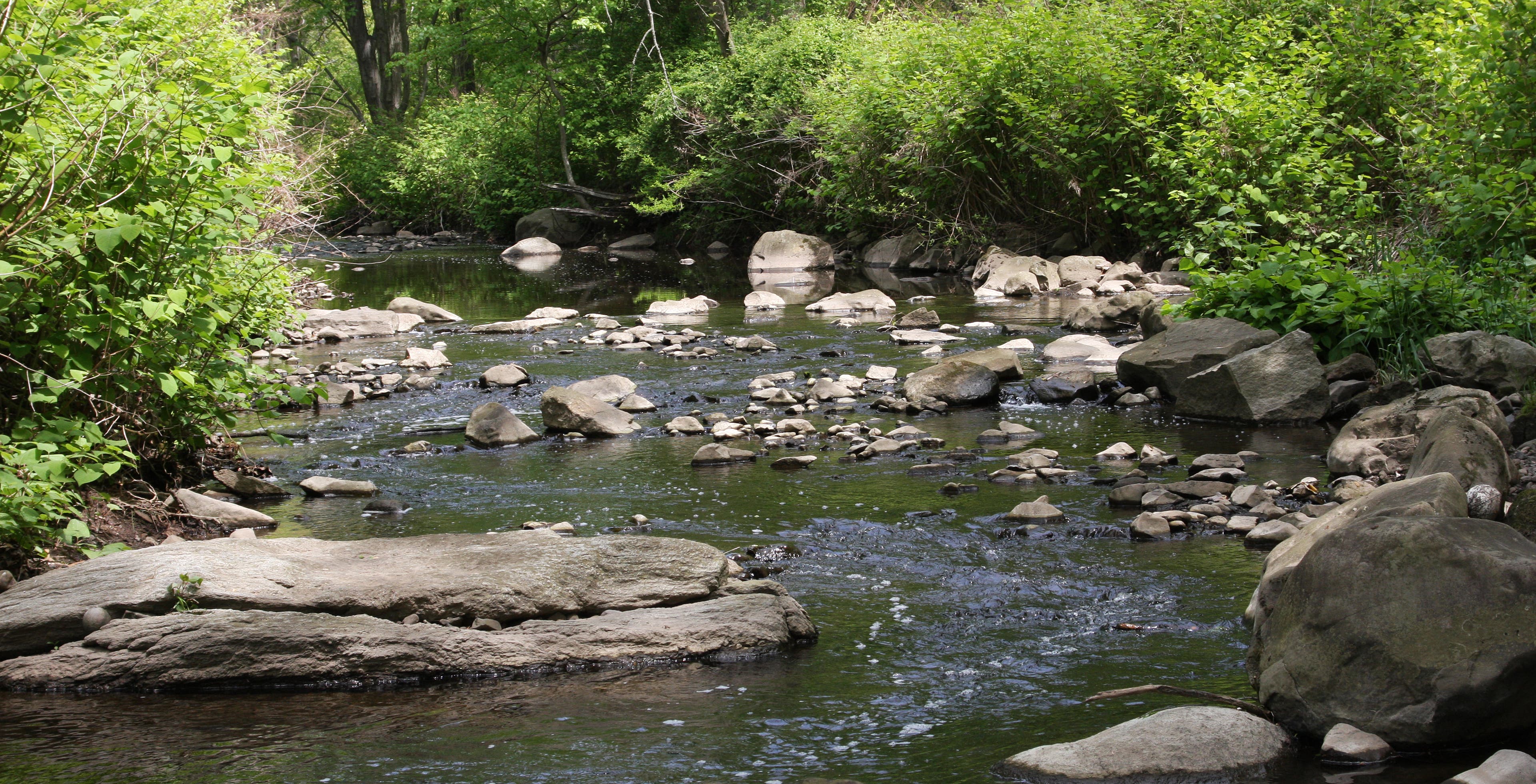
Rock-hop from the left side to the right side of the river.
HEM021
Location: 40.752452, -74.292694
Turn left at T-junction.
HEM022
Location: 40.75236, -74.292354
Go right at Y-junction.
HEM023
Location: 40.751323, -74.291652
Head straight through the 4-way junction. The Rahway Trail ends here. Merge onto the Lenape Trail, marked by yellow blazes on the trees ahead.
HEM024
Location: 40.751351, -74.289185
Reach a small, teaser-set of falls on the left of the Lenape Trail. Continue to reach Hemlock Falls.
HEM025
Location: 40.750541, -74.288918
Reach Hemlock Falls. Bear left and climb the stairs up the Falls Overlook Trail, marked by red dots.
HEM026
Location: 40.750568, -74.287922
The Falls Overlook Trail ends here; however, continuing on the spur trail to the right affords great close-up views of the gorge below. A small cascade sits at the end of the spur trail. Sunbathing and wading opportunities abound along the way. When finished, retrace steps back to the Falls Overlook Trail.
HEM027
Location: 40.750571, -74.288849
Merge onto the Lenape Trail at the base of Hemlock Falls and cross over the short stone bridge. Immediately after crossing, make a sharp right. A short, rocky climb follows. After the climb, bear left.
HEM028
Location: 40.750202, -74.291112
Make a sharp left and follow the yellow blazes.
HEM029
Location: 40.746918, -74.29007
Head straight at 4-way with the Balls Bluff Trail.
HEM030
Location: 40.741126, -74.293804
Veer right at yellow blaze on a dead tree cut in half. The Bear Lane runs parallel to the Lenape Trail here.
HEM031
Location: 40.74093, -74.29526
Cross over the Bear Lane, heading straight through the 4-way.
HEM032
Location: 40.736629, -74.300614
Go straight at the 4-way with Pingry Trail.
HEM033
Location: 40.730933, -74.303594
Go straight at 4-way with Sunset Trail.
HEM034
Location: 40.729238, -74.302095
Turn left at Y-junction. The town of Millburn is to the right, just past the fence.
HEM035
Location: 40.728669, -74.300937
Reach a nice overlook with a patio that offers views of Essex and Union counties. When finished, continue up the paved path.
HEM036
Location: 40.72889, -74.30031
Reach Washington Rock Historic Site. After perusing the area, walk up the road.
HEM037
Location: 40.729572, -74.298801
Turn right off paved road and onto a thin path that traverses more woods.
HEM038
Location: 40.729763, -74.297928
Bear right and begin descent back to parking lot.
HEM039
Location: 40.727189, -74.302301
Walk through the picnic area. A pavilion, tables, and grills are free to use.
HEM040
Location: 40.727707, -74.303876
End of Lenape Trail and parking lot.
Rahway River
Location: 40.745046, -74.298391
The dam at Diamond Mill Pond
Location: 40.731161, -74.306288
Where hikers must rockhop the Rahway
Location: 40.752491, -74.292941
Tiny teaser falls before Hemlock
Location: 40.751126, -74.288263
Hemlock Falls
Location: 40.750183, -74.288692
Washington Rock
Location: 40.72869, -74.300108