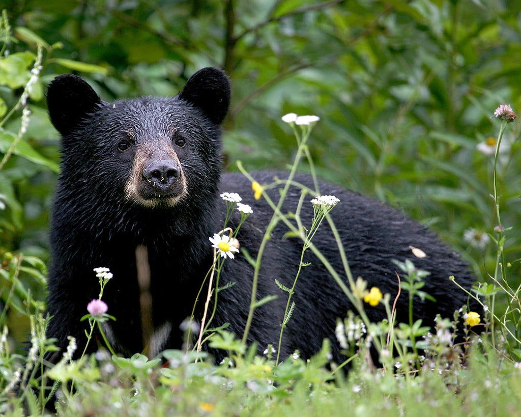
New York City: West Kill Mountain

'Jitze Couperus'
Trail Facts
- Distance: 6.0
Waypoints
WKM001
Location: 42.1843948364258, -74.2725219726562
Head SE on Spruceton Rd. (forest road) to Diamond Notch trailhead
WKM002
Location: 42.1811141967773, -74.2676086425781
Climb gently on blue-blazed trail along old mountain road
WKM003
Location: 42.1754150390625, -74.2580490112305
Diamond Notch Falls; lots of perfect lunch rocks and places for soaking feet
WKM004
Location: 42.174934387207, -74.2577972412109
Trail crosses bridge above falls; turn R on red-blazed Devil’s Path; hard climb begins
WKM005
Location: 42.1706733703613, -74.2660827636719
Good spring on R; arduous climb continues
WKM006
Location: 42.1666488647461, -74.273193359375
Small cave just off trail on the R; explore with caution
WKM007
Location: 42.1682395935059, -74.2782897949219
View to NE; detour E on spur to WPT 8
WKM008
Location: 42.1686820983887, -74.2755813598633
Buck Ridge Lookout; two spectacular viewpoints to either side of trail; S gives 180-degree view from Hunter to Slide Mtns.; N shows Hunter, Rusk and the Blackheads
WKM009
Location: 42.1677589416504, -74.28955078125
West Kill Mtn.’s forested summit (3,875 ft.); marker but no views; return to trailhead parking via same route