New York City: Ward's Island

A riverside recreational destination for New Yorker on the East Side, Ward’s Island encompasses Randall’s Island Park, Ward’s Island, and Icahn Stadium and about four miles of trails for hikers and cyclists.
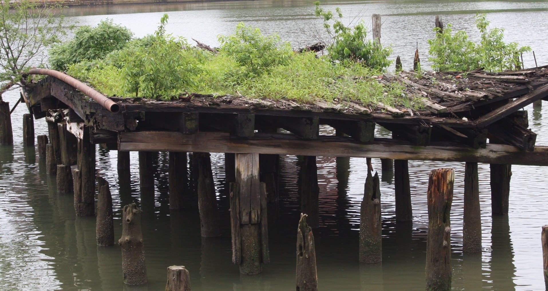
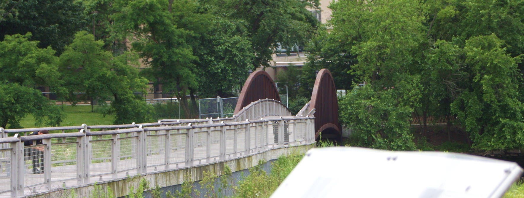
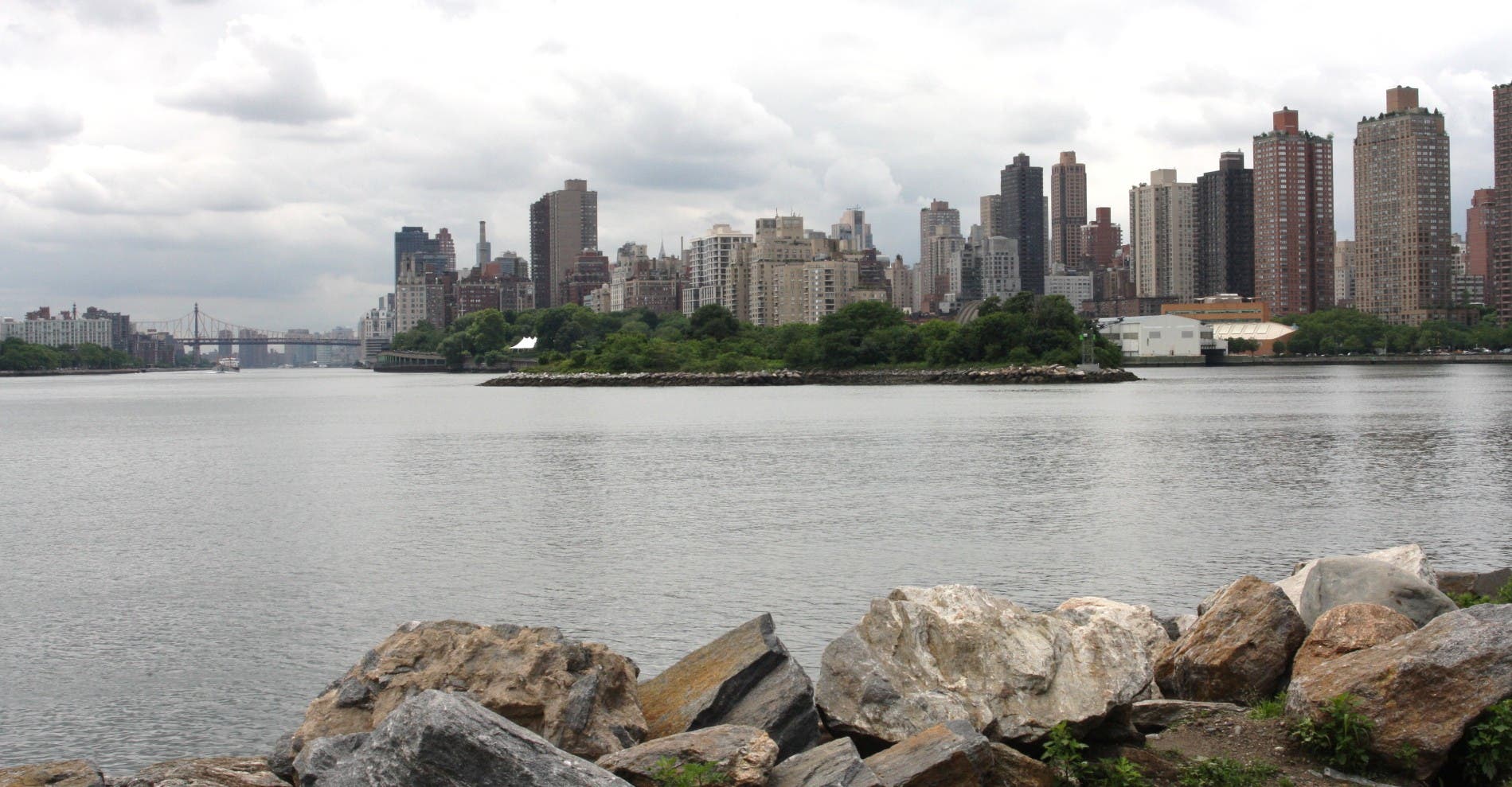
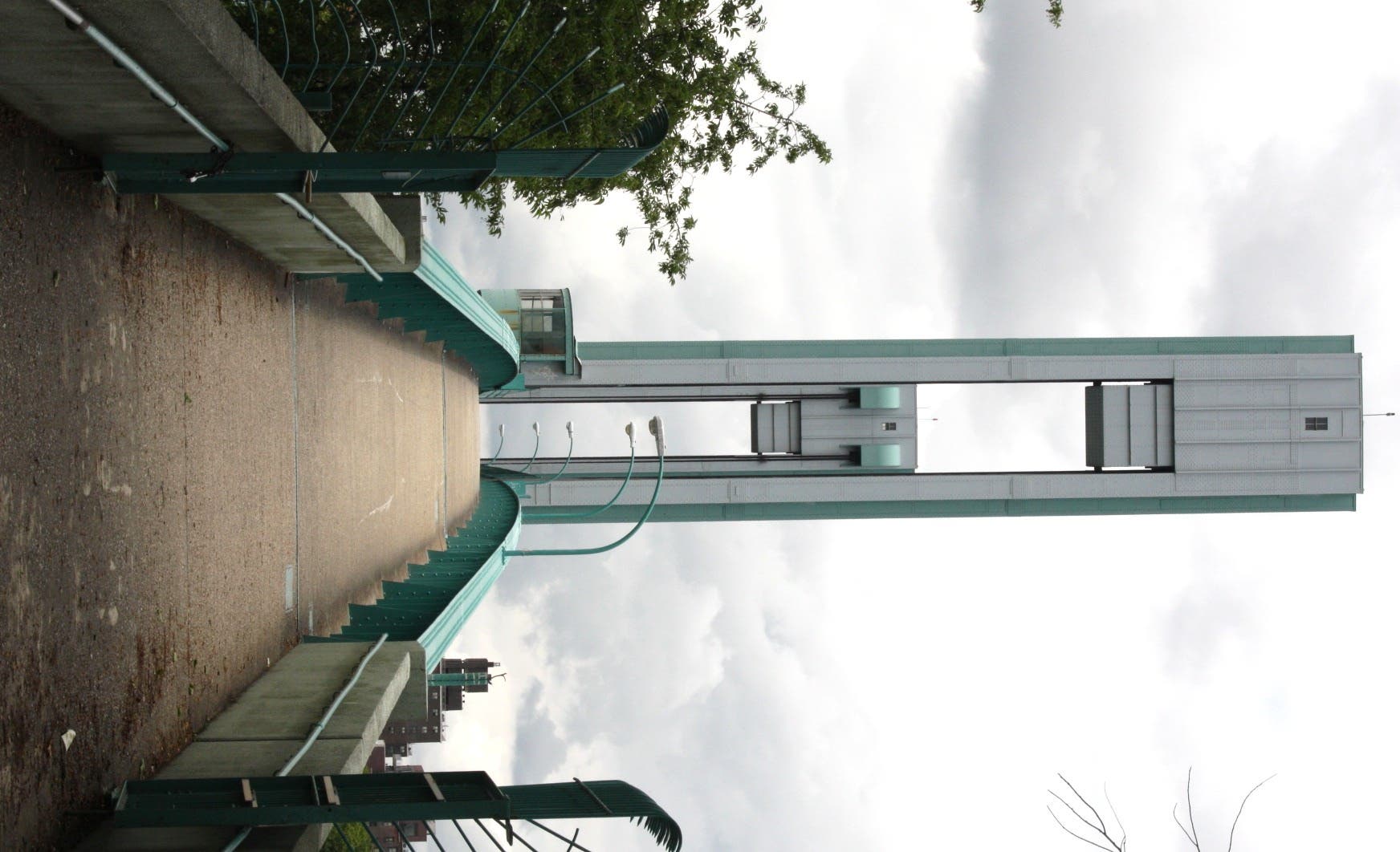
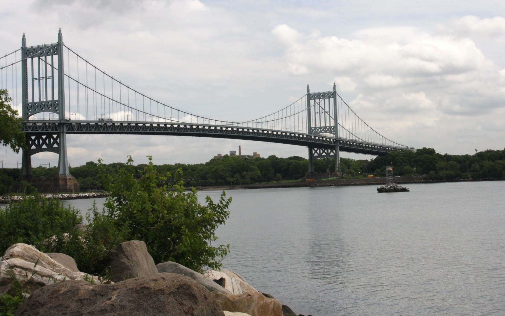
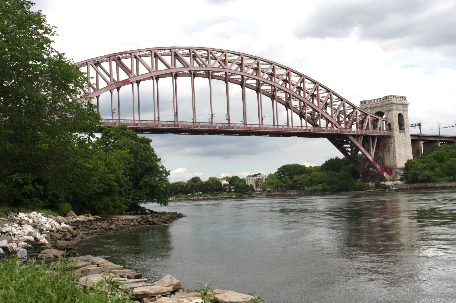
Visitors can start at Carl Schurz Park and take the Bobby Wagner Walk, a multi-use path along the East River that runs from East 96th to East 125th Street. The Ward’s Island Pedestrian Bridge provides easy access to the park from East 102 Street and offers truly gorgeous views of the river. After crossing over the bridge, head north along the waterfront to explore the north end of the island. Gardens line the right side of the trail. An abandoned pier, decaying and overgrown with vegetation, juts out of the water. Wetlands and a lagoon are due south of Icahn Stadium grounds. When finished with the north side, retrace steps back to the pedestrian bridge and walk south to Ward’s Island Park. A waterfront trail showcases Mill Rock Park, a seemingly untouched, tree-covered island in the middle of the East River. Beyond it is Roosevelt Island. As the pathway wraps around the island’s south side, it also tours Triborough and Hell Gate Bridges. The trail ends at Hell Gate. From here, retrace steps back to Carl Schurz Park.
-mapped by MacKenzie Ryan
From NYC Midtown: Go southeast on West 42nd Street toward Broadway. Turn left at United Nations Plaza. Make a slight right to continue on United Nations Plaza. Turn right at the FDR Drive ramp. Merge onto FDR Drive North. Carl Schurz Park is on the right.
Mass transit: Take the 4/5/6 train to Lexington and East 86th Street. Walk west on East 86 Street, then turn right at East End Avenue. Cross the street to Carl Schurz Park.

Trail Facts
- Distance: 11.3
Waypoints
WAR001
Location: 40.7773567, -73.9425266
From Carl Schurz Park and the NY Water Taxi Pier, walk north on TK pathway.
WAR002
Location: 40.786247, -73.9389998
Turn L and walk up the ramp to the Wards Island Pedestrian Bridge.
WAR003
Location: 40.785275, -73.935283
From the pedestrian bridge, turn L and walk north along the pedestrian-only pathway. A bike path is to the right. On the way back from the north end of the island, continue past this junction and walk along the path to Wards Island Park.
WAR004
Location: 40.78741, -73.934233
Pass an abandoned pier in the East River. To the right are stables for the New York City Riding Academy. Continue north along the gardens.
WAR005
Location: 40.7911688, -73.929927
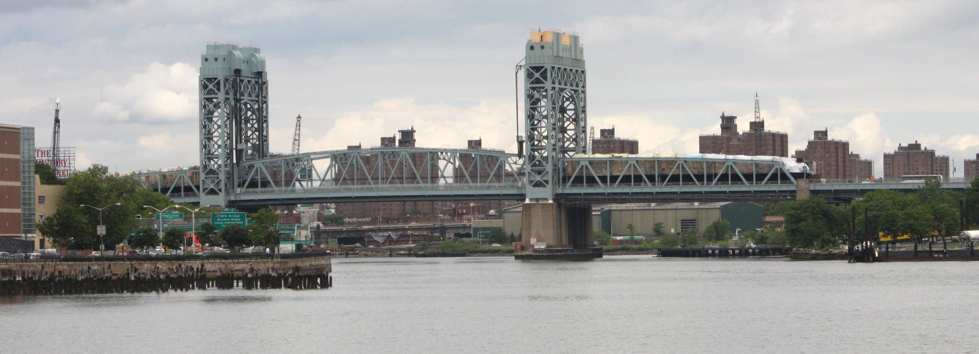
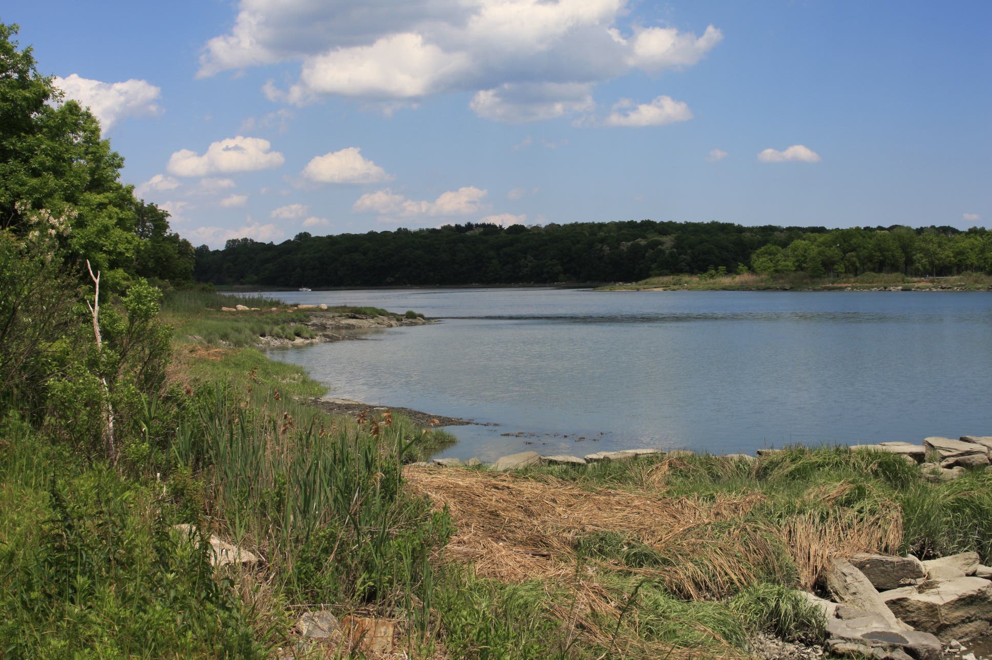
Reach a bench area with views of the Harlem River and RFK Bridge.
WAR006
Location: 40.7911798, -73.9295828
Merge onto multi-use path but stay L. Cycles use the right side of the pathway.
WAR007
Location: 40.79078, -73.928129
Turn L and walk over the bridge. Very short nature trails allow visitors to explore the wetlands, which are being restored.
WAR008
Location: 40.791927, -73.927025
Turn L @ T-junction, exploring the western shore and Icahn Stadium grounds.
WAR009
Location: 40.796374, -73.926703
Stay L @ Y-junction, continuing along the water.
WAR010
Location: 40.797302, -73.927013
At the kiosk and pier for NY Waterway Sightseeing Cruises, turn around and retrace the way back to the pedestrian bridge. From there, continue south to explore the south end of the island and Wards Island Park.
WAR011
Location: 40.78103, -73.928128
Cross under the Triborough Bridge.
WAR012
Location: 40.7836285, -73.9236599
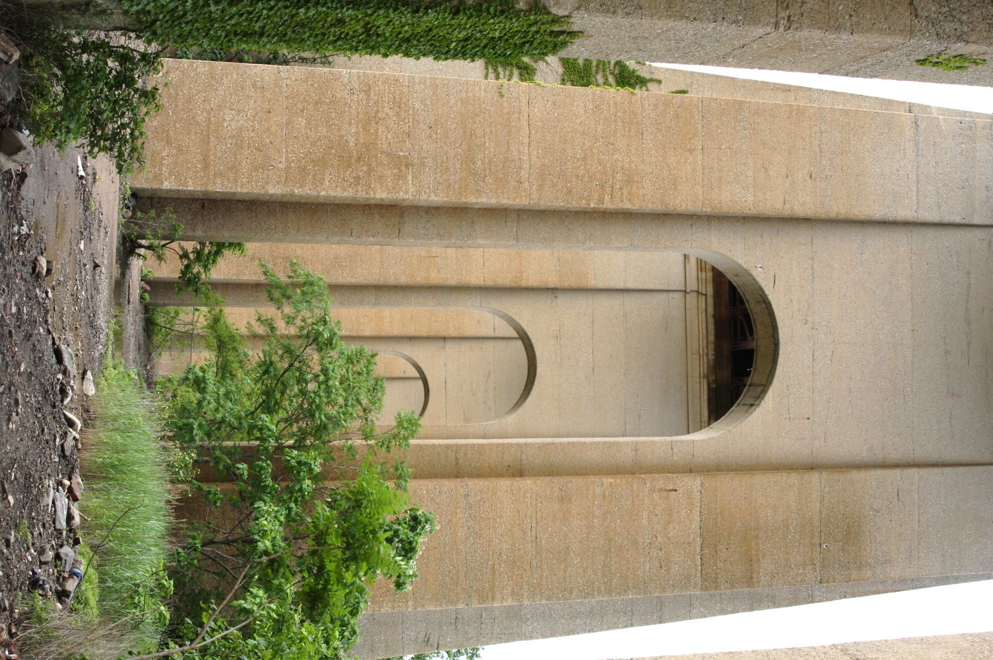
Turn around where the path ends beneath Hell Gate Bridge. Retrace steps back to Carl Schulz Park.
Looking at Ward’s
Location: 40.7805739, -73.9436209
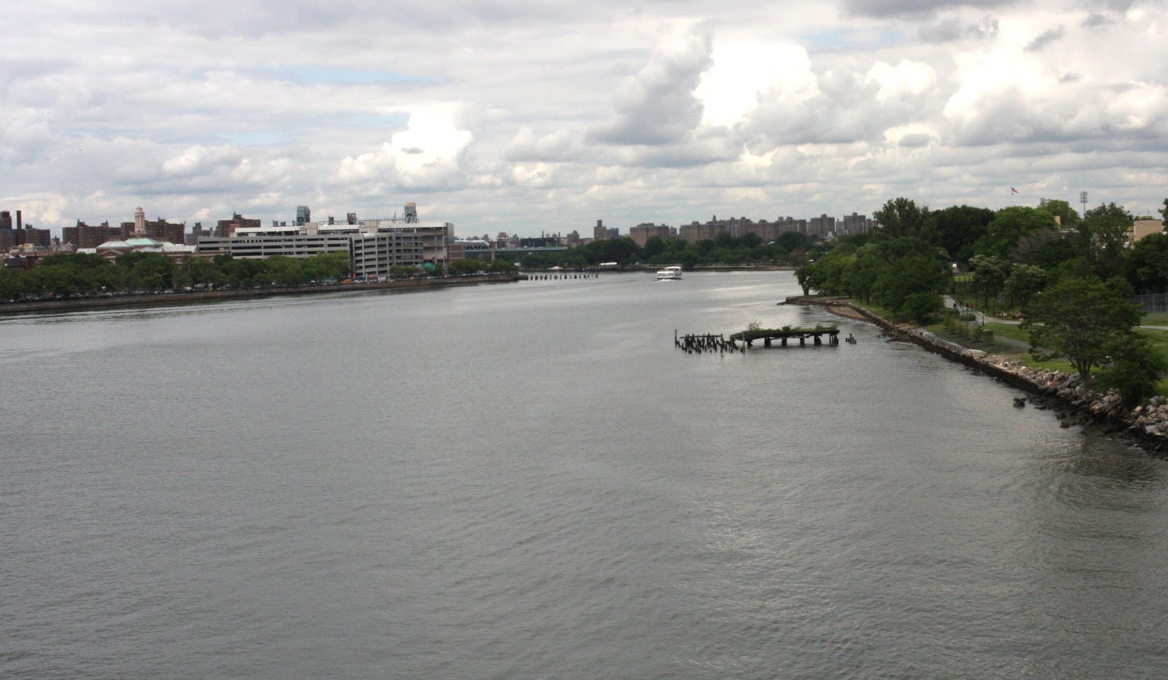
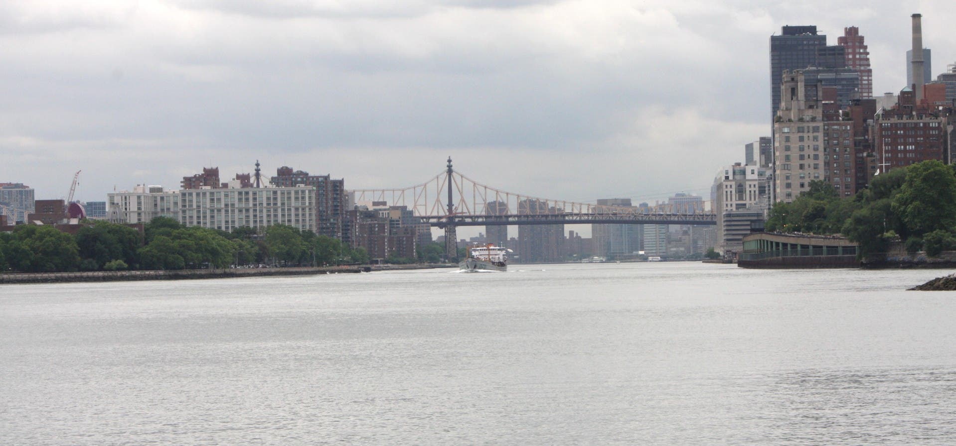
North-facing view of the river
Location: 40.7860168, -73.936969
Abandoned pier
Location: 40.7873165, -73.9341795
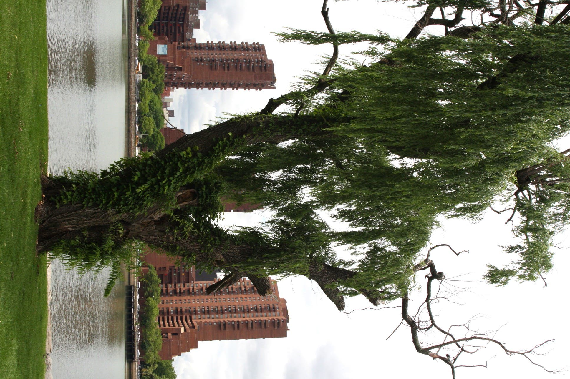
Willow
Location: 40.7895748, -73.932184
RFK Bridge
Location: 40.7912318, -73.9299417
Bridge over wetlands
Location: 40.7911668, -73.9276564
Lagoon
Location: 40.791638, -73.9271843
Mill Rock Park and the East River
Location: 40.7829624, -73.9342225
East River
Location: 40.7828161, -73.932935
Pedestrian Bridge
Location: 40.7853182, -73.9354026
Triborough Bridge
Location: 40.7809476, -73.9277422
Hell Gate Bridge
Location: 40.7825074, -73.9255321
Underneath Hell Gate Bridge
Location: 40.7836285, -73.9236546