Published September 20, 2013 03:31PM
New York City: Popolopen Gorge Trail
Visit a lesser-known treasure of Harriman State Park on this 5.7-mile jaunt, which contours through hilly hardwood forest and along cascading creeks to a few peaceful ponds.
'TheTurkducken'
Trail Facts
- Distance: 8.7
Waypoints
PGT001
Location: 41.316577911377, -74.0507583618164
Head N onto Long Path (blue blazes)
PGT002
Location: 41.3196601867676, -74.0480422973633
R @ Y onto red-blazed Popolopen Gorge (PG) Trail
PGT003
Location: 41.3149681091309, -74.0438079833984
Straight @ 3-way on PG Trail; nice views of Turkey Hill Pond
PGT004
Location: 41.3143081665039, -74.0357437133789
Cross creek outlet
PGT005
Location: 41.3136558532715, -74.0331649780274
Straight @ 3-way; pass Queensboro Lake on R
PGT006
Location: 41.3144416809082, -74.025146484375
L @ 4-way, continuing on PG
PGT007
Location: 41.3155403137207, -74.0188140869141
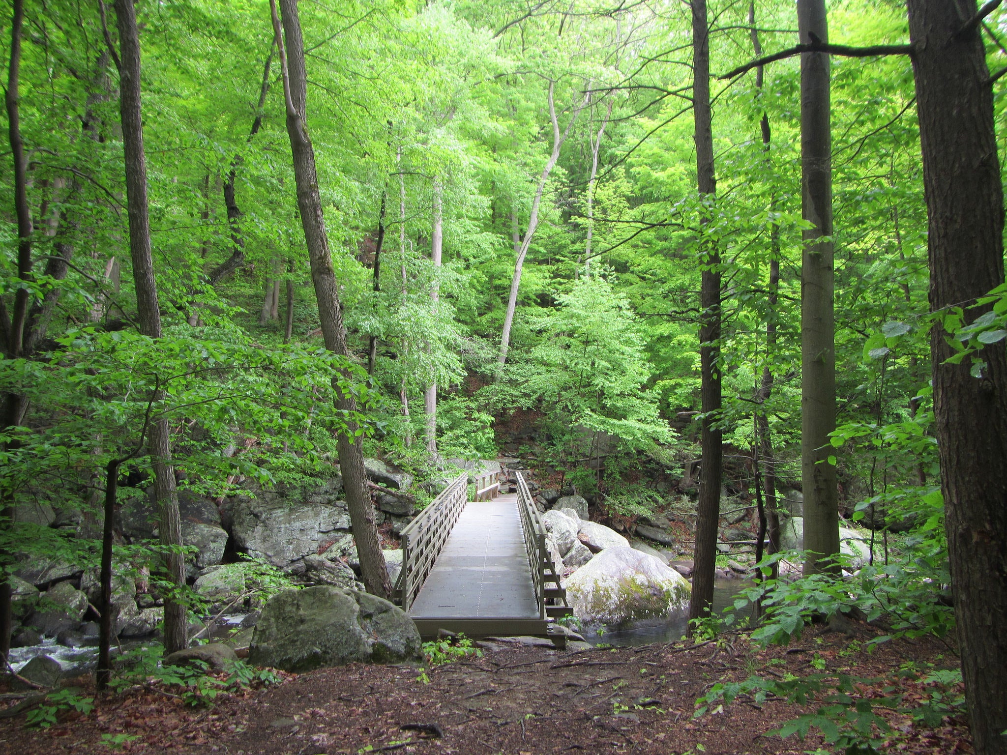
Cross stream on narrow bridge
PGT008
Location: 41.3226165771484, -74.0126724243164
Straight @ 3-way, edging along Hell Hole gorge
Optional: Extend hike by hopping on blue trail to Popolopen Creek, then looping over and around Popolopen Torne
PGT009
Location: 41.3241882324219, -73.9943161010742
View of waterfalls @ old rock bridge
PGT010
Location: 41.3223762512207, -73.9917144775391
Turn R onto 9W; cross roundabout then head S on walkway around Hessian Lake
PGT011
Location: 41.3125419616699, -73.9890975952148
End hike @ Bear Mtn. Inn