New York City, NY: Breakneck Mountain Loop

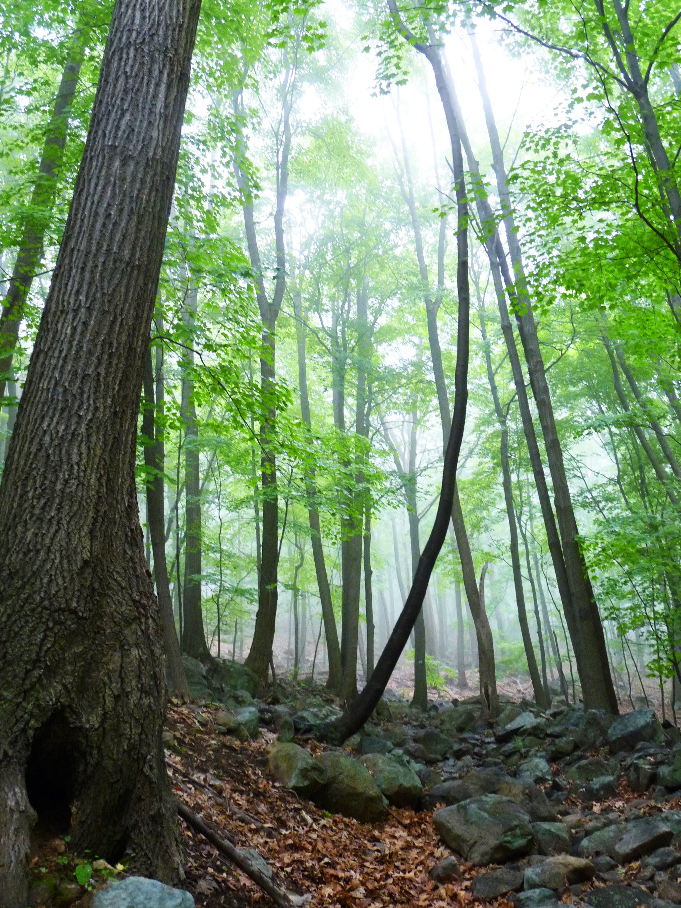
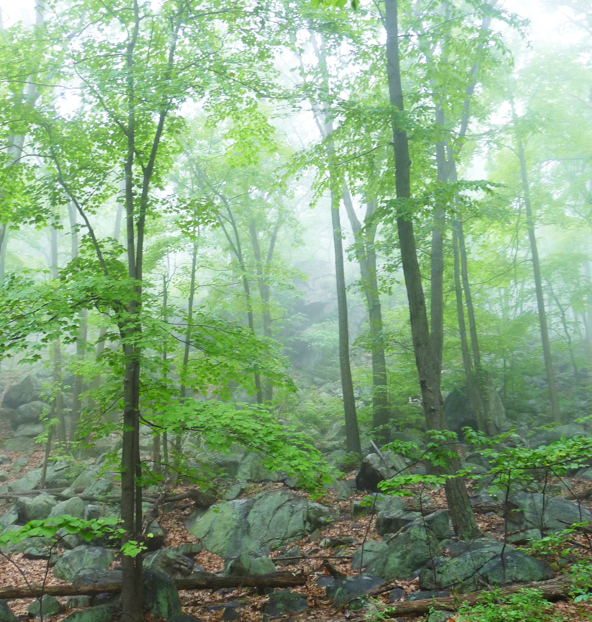
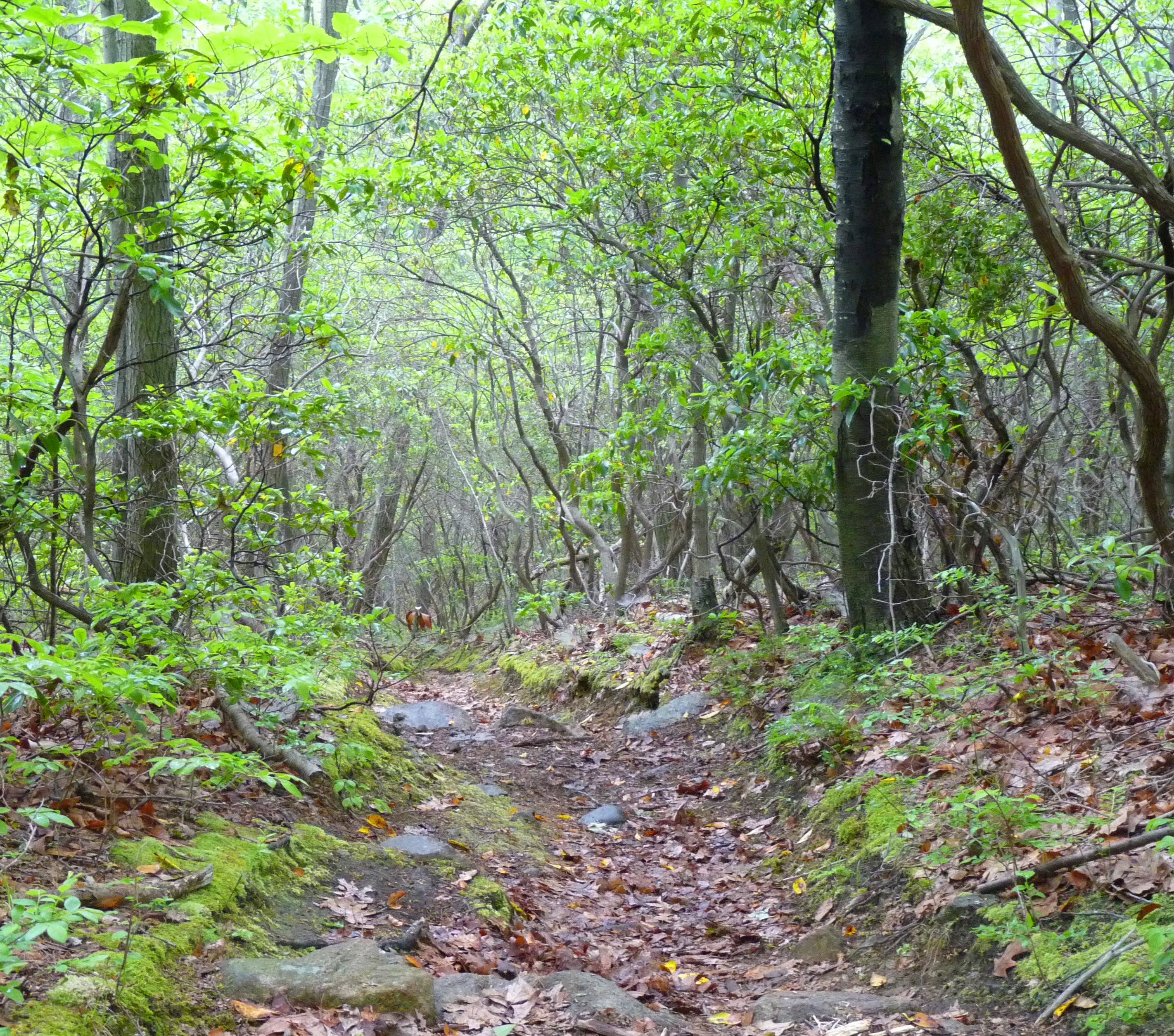
Quiet and, at times, slightly shrouded in rising fog from nearby rivers and reservoirs, the 7.4-mile loop to Breakneck Mountain offers a rare, accessible experience in seclusion. Commuter trains and highways are both less than 10 miles from the trailhead, but hikers would never know it. Turkey calls, rippling, seasonal streams, and rustling leaves are the only sounds permeating dense, sylvan woodlands on this trek to a 1,260-foot summit in the Ramapo Mountains.
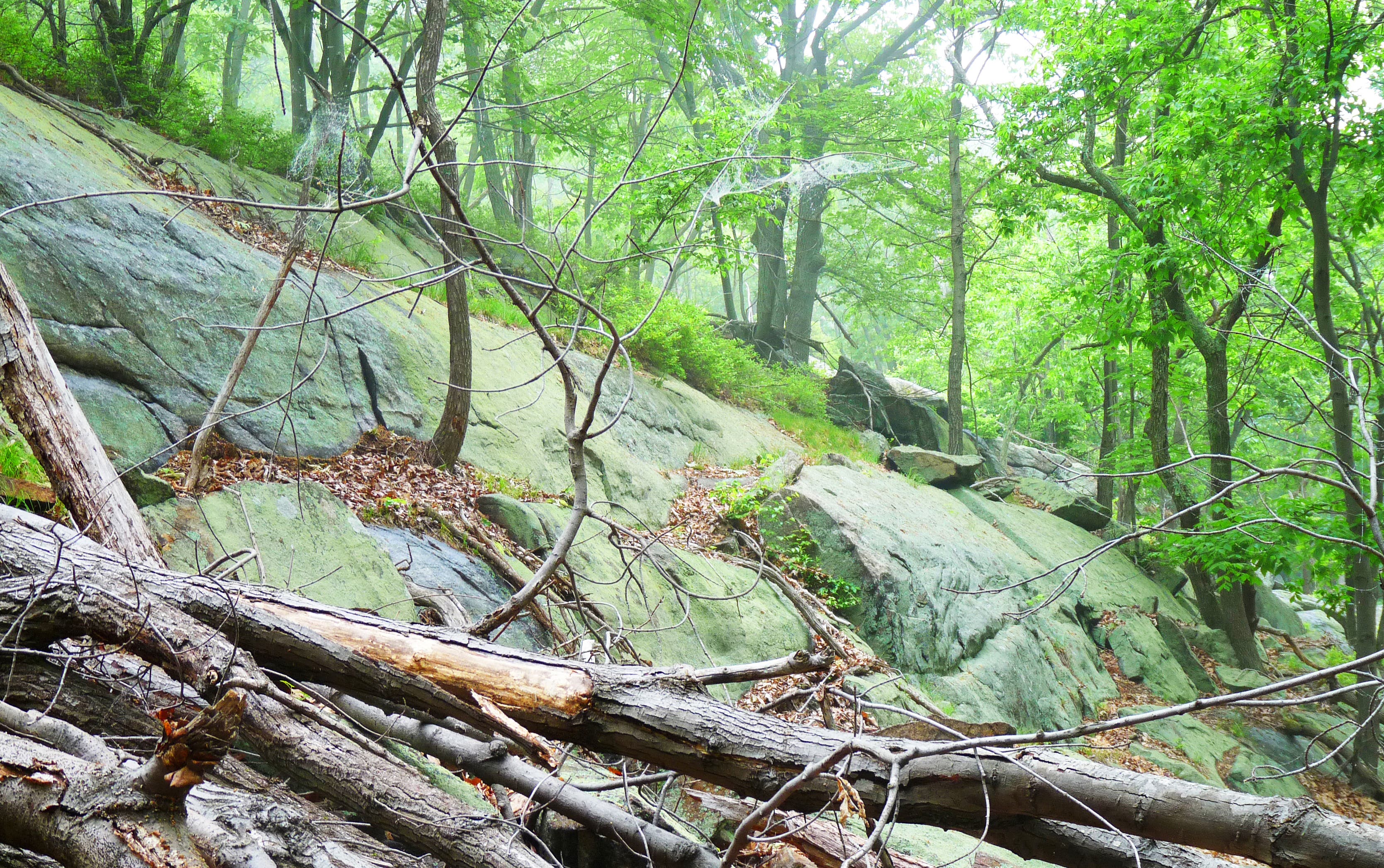
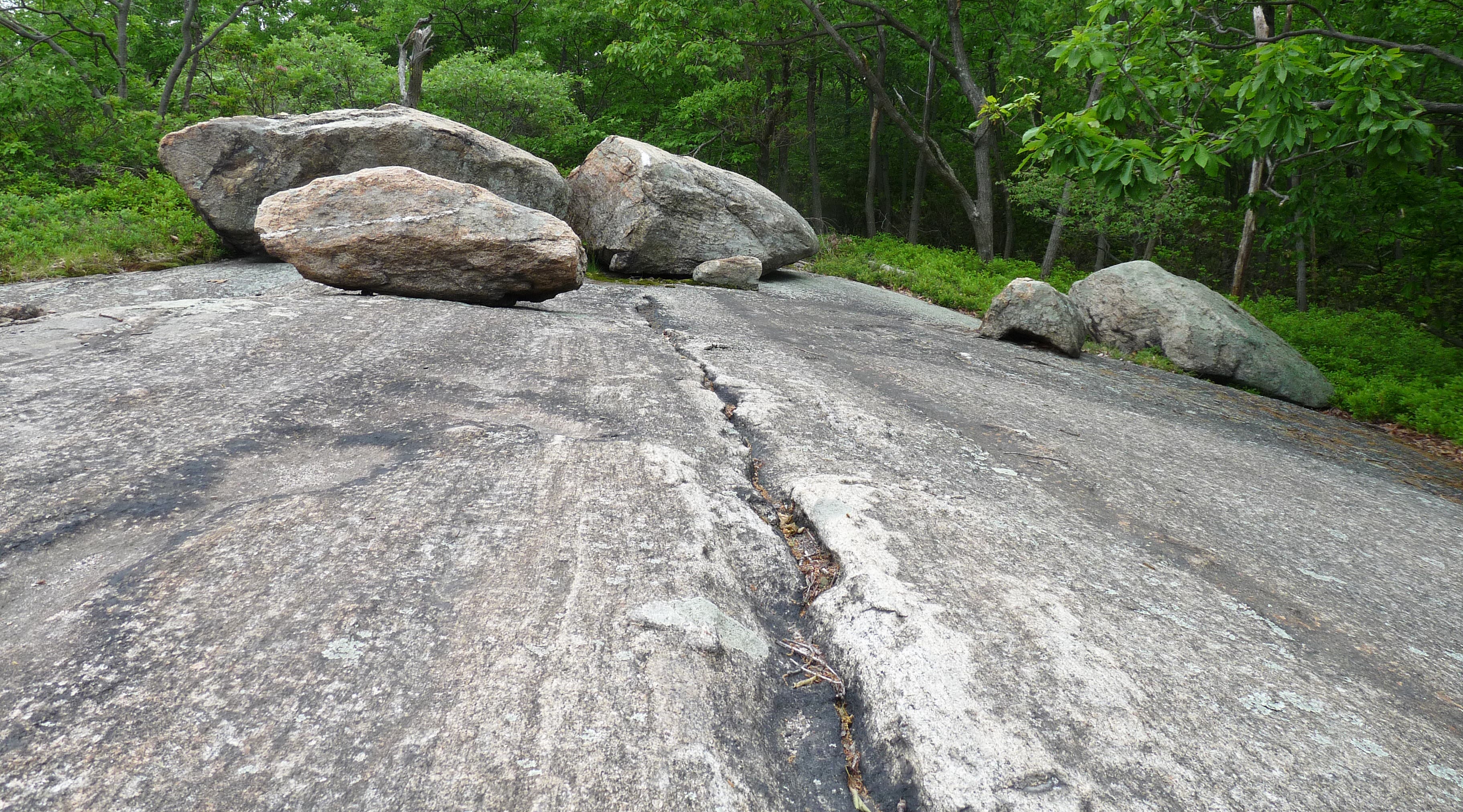
From the Tuxedo-Mount Ivy Trailhead, climb through lush woods dotted with gigantic, rock outcroppings. Turn onto the Suffern-Bear Mountain Trail after about a mile and a half. The yellow-blazed singletrack traverses rolling hills of flowering bushes and offers up intermittent boulder scrambles.
After a short descent through a waist-high shrub corridor, a hidden, tree-lined lake laps up against rocky shores. The Breakneck Mountain Trail is only a 1,000 feet farther. Huff it over three ridgeline overlooks up to the summit. The views are not far-reaching by any means, but they do showcase gorgeous foliage in the fall. After a mile and a half, get back on the Tuxedo-Mounty Ivy Trail as it cuts through overgrown swampland. Retrace steps back to the trailhead.
-Mapped by MacKenzie Ryan
PLAN IT
MAP: Download a park map at nysparks.state.ny.us/parks/145/maps.aspx
CONDITIONS: For current conditions, go to Bear Mountain, NY (10911) Weather.
INFO: Harriman State Park, (845) 786-2701; nysparks.state.ny.us/parks/145/details.aspx
OTHER RESOURCES
GEAR
REI
49 Fitzgerald St.
Yonkers, New York 10710
(914) 410-9500
rei.com
GROCERIES
Fairway Market
2328 12th Ave.
New York, NY 10027
(212) 234-3883
fairwaymarket.com
RESTAURANTS
Avanti Restaurant
1581 Route 202 # 148
Pomona, NY 10970
(845) 362-7278
Mt. Ivy Cafe
14 Thiells Mount Ivy Rd. # 2
Pomona, NY 10970
(845) 354-4746
mountivycafe.com

Trail Facts
- Distance: 12.0
Waypoints
HAM001
Location: 41.185293, -74.074894
From parking lot and Tuxedo-Mount Ivory Trailhead, hike north toward the powerlines and access road.
HAM002
Location: 41.186186, -74.074971
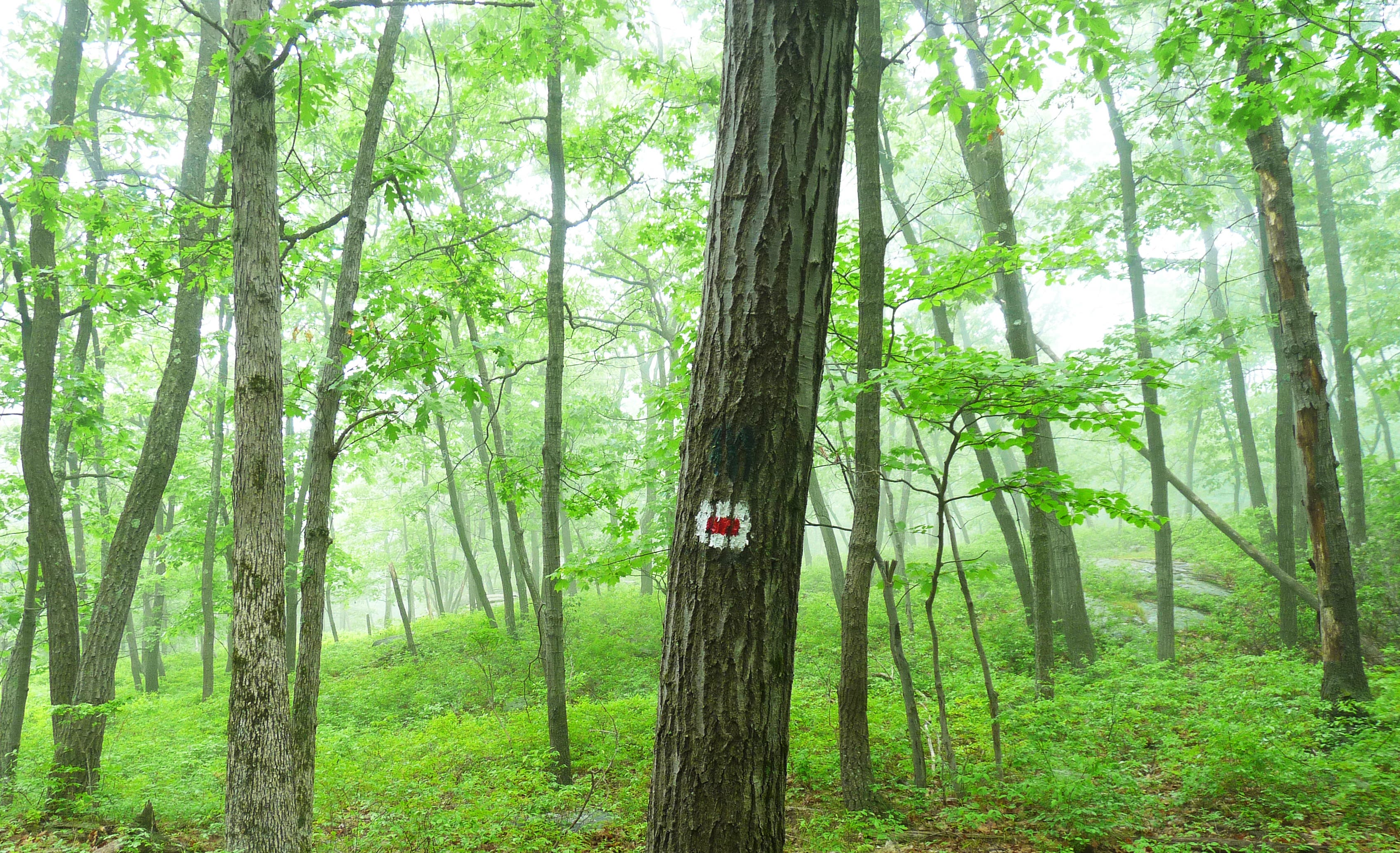
Turn R onto the access road and head northeast. Look for the TMI blaze: a white box with a red stripe through the center. The trail follows the road, then veers left up a washed-out singletrack.
HAM003
Location: 41.188134, -74.072506
Turn L onto the washed-out singletrack.
HAM004
Location: 41.188547, -74.07227
Bear L @ T-junction.
HAM005
Location: 41.18836, -74.072958
Veer R @ Y-junction, heading into the woods.
HAM006
Location: 41.189098, -74.074614
Cross creek.
HAM007
Location: 41.190112, -74.075317
Go straight @ three-way.
HAM008
Location: 41.19341, -74.078397
Go L @ T-junction.
HAM009
Location: 41.193864, -74.079147
Go straight @ Y-junction. The trail to the right is also marked with white and red; however, it is designated with three arrows. Do not follow.
HAM010
Location: 41.19011, -74.087985
Turn R @ four-way junction merging onto the Suffern-Bear Mountain Trail. Look for the SBM’s yellow blazes.
HAM011
Location: 41.197315, -74.082514
Go L @ Y-junction, staying on the Suffern-Bear Mountain Trail. A tree on the left with three white blazes indicates the junction with the Breakneck Mountain Trail is up ahead.
HAM012
Location: 41.198423, -74.083707
Cross creek.
HAM013
Location: 41.198796, -74.083839
Go straight @ four-way.
HAM014
Location: 41.206224, -74.088562
Pass Third Reservoir on the right. Walk down to the shore to enjoy the view, then work back to the trail.
HAM015
Location: 41.207733, -74.089747
Go L @ Y-junction, merging onto the Breakneck Mountain Trail.
HAM016
Location: 41.203197, -74.093853
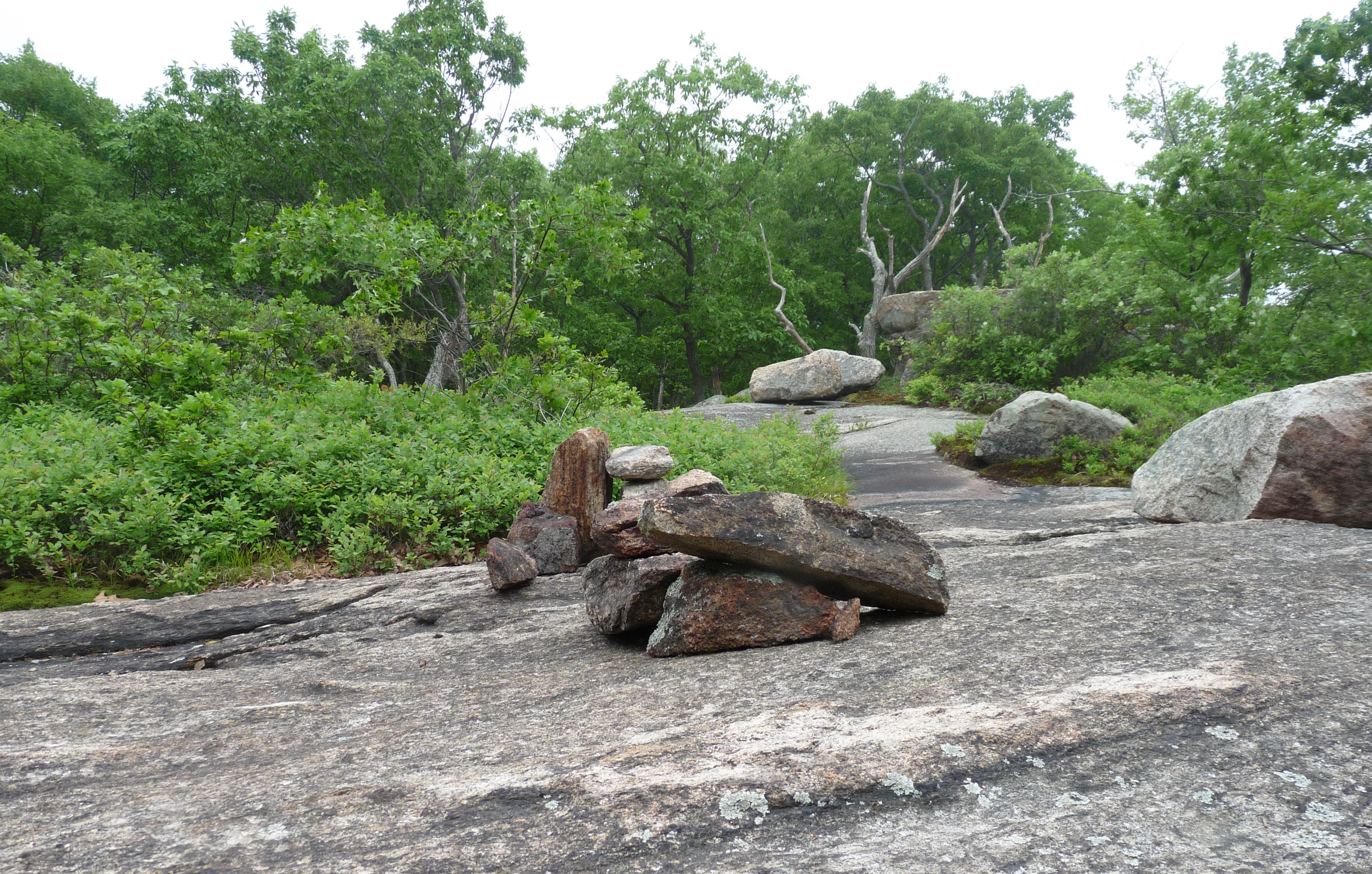
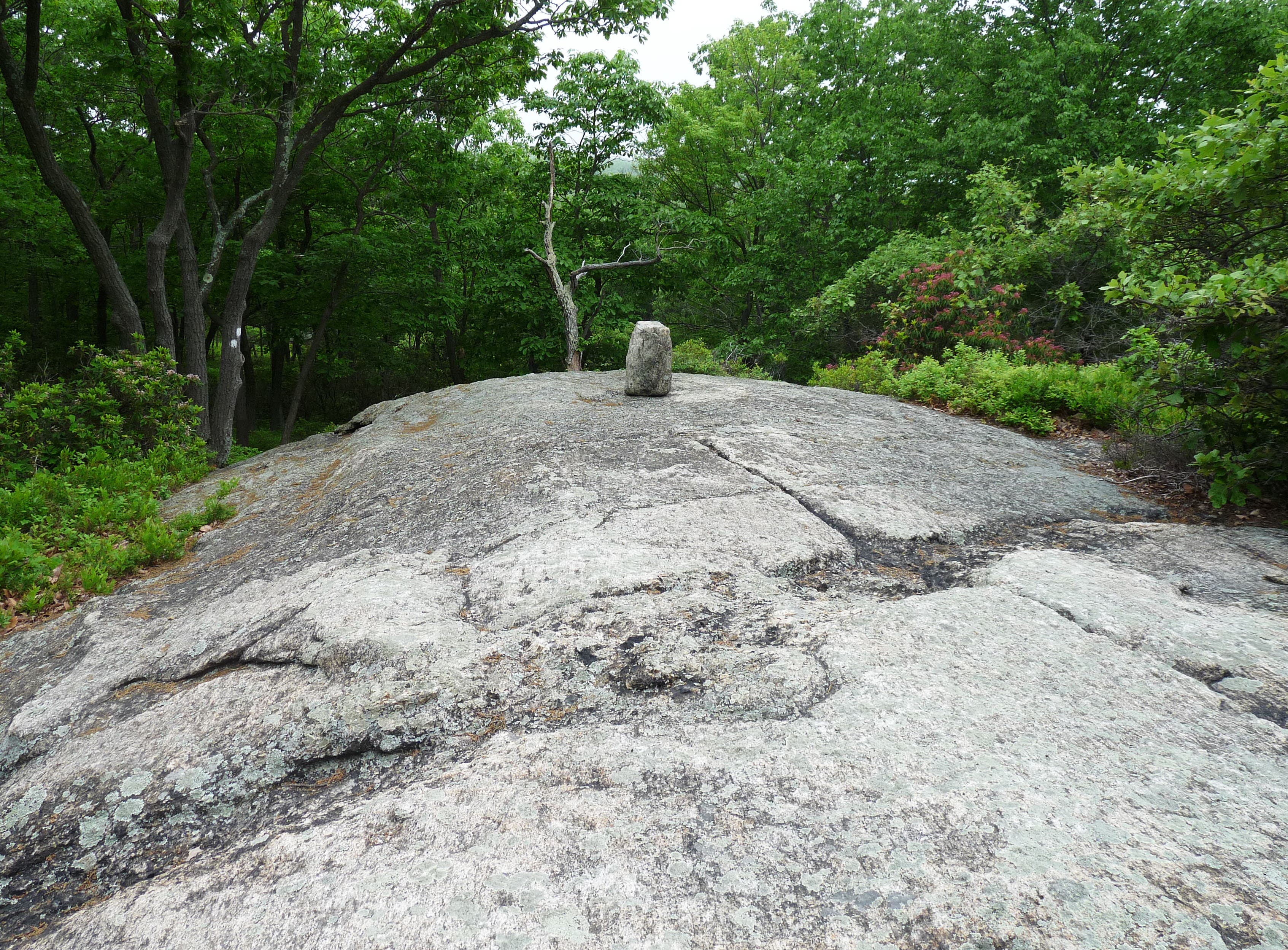
Reach a broad rockface covered with cairns and large boulders, the first of three false summits.
HAM017
Location: 41.202814, -74.096319
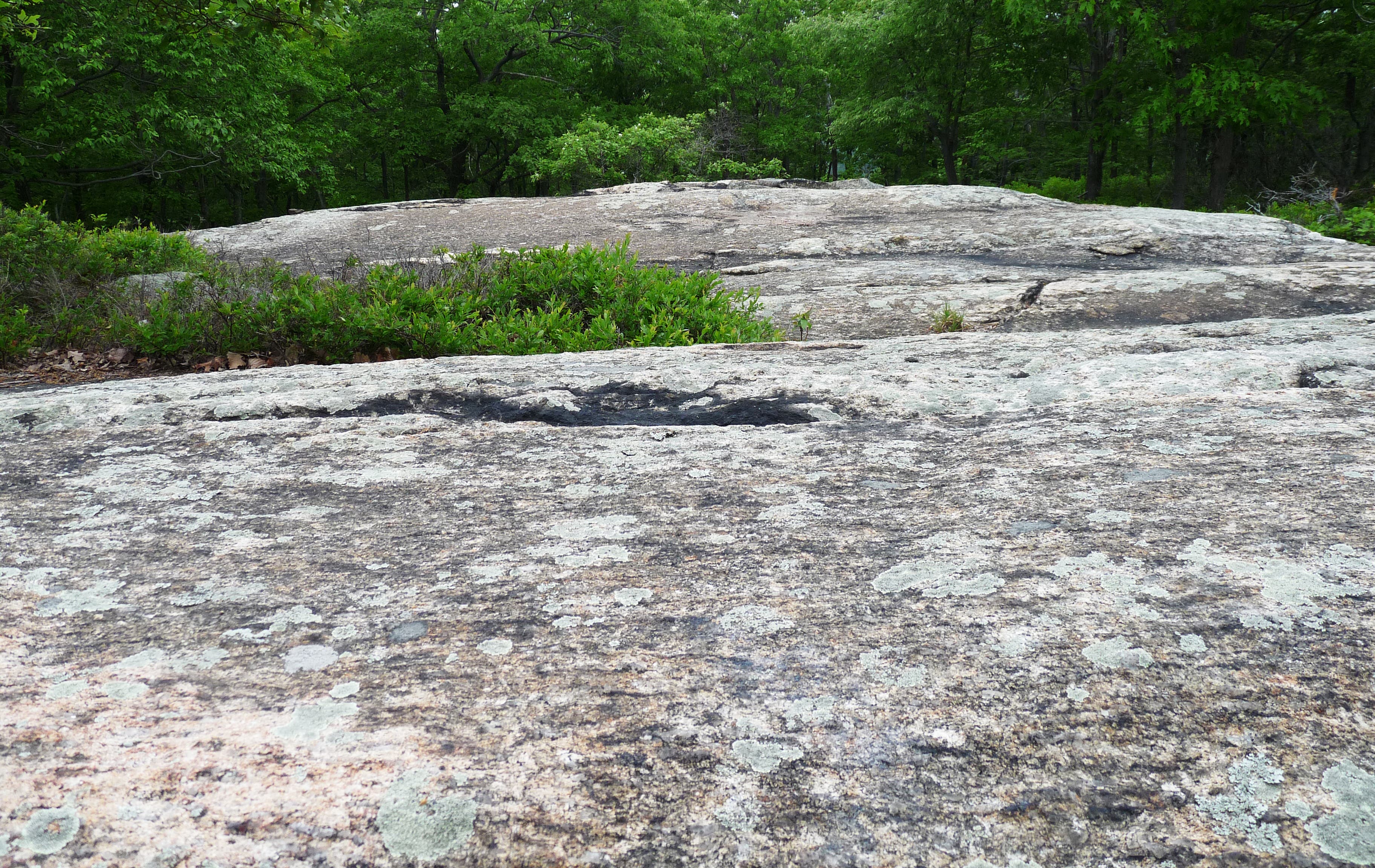
Reach the second false summit, another rockface, with views to the east.
HAM018
Location: 41.200001, -74.097505
Pass the last false summit. Shortly thereafter, the summit appears to the left of the trail.
HAM019
Location: 41.199969, -74.098148
Pass Breakneck Mountain Summit (1,260 feet) on the left.
HAM020
Location: 41.196348, -74.104258
Go L @ Y-junction, merging back onto the Tuxedo-Mount Ivy Trail.
HAM021
Location: 41.194657, -74.102102
Turn L @ T-junction.
HAM022
Location: 41.196417, -74.097934
Cross stream.
HAM023
Location: 41.195642, -74.093406
Go R @ Y-junction.
HAM024
Location: 41.194722, -74.093814
Turn L @ Y-junction. Look down the left of the trail, a partially hidden rock is painted with a red and white arrow.
HAM025
Location: 41.190075, -74.087999
Continue straight @ four-way junction to close the loop; from here, backtrack to the trailhead.
Forested Climb
Location: 41.192065, -74.077329
Boulder Field
Location: 41.192881, -74.078477
Hilltop Greenery
Location: 41.193684, -74.080848
Long Outcropping
Location: 41.200373, -74.085102
Shrub Oak Tunnel
Location: 41.202036, -74.086046
Third Reservoir
Location: 41.206233, -74.088498
Cairns
Location: 41.203206, -74.093771
Exposed Ridge
Location: 41.203166, -74.093803
Massive Rockfaces
Location: 41.202814, -74.096249
Back into the Woodland
Location: 41.202831, -74.096475