Published September 20, 2013 03:21PM
New York City: Neversink Loop
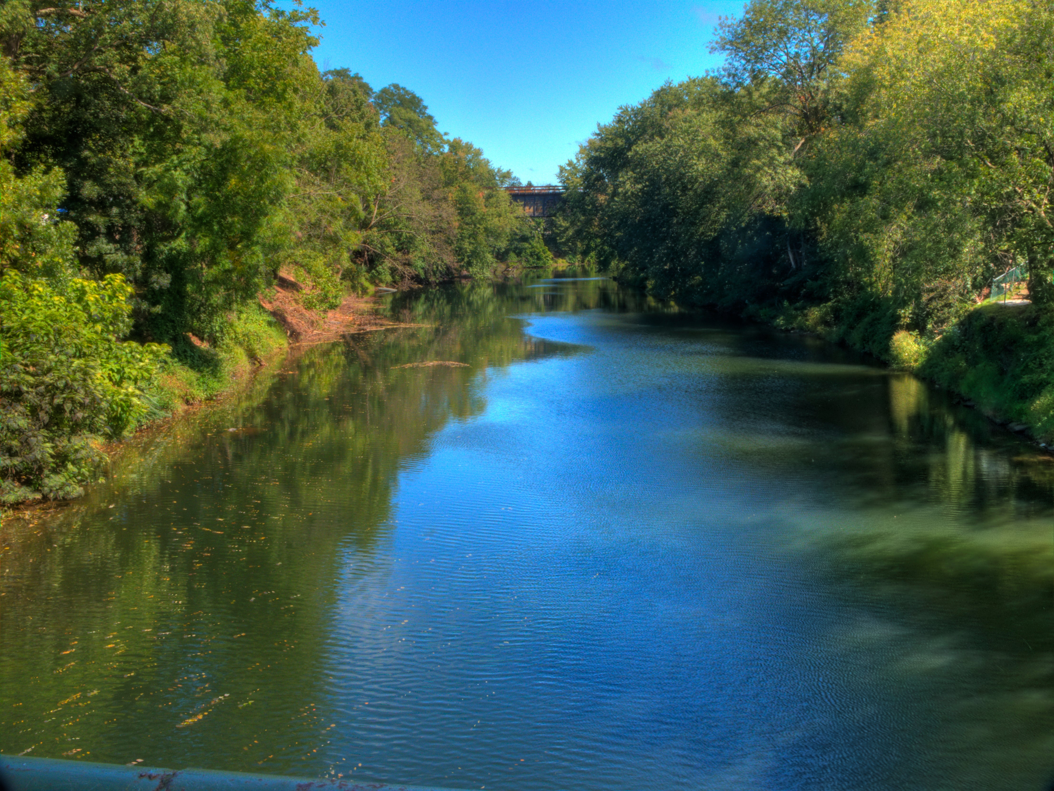
This 12-mile loop in Slide Mountain Wilderness connects popular trails with a rough route to secluded campsites and trail-less peaks near the headwaters of the Neversink River.
'Luke H. Gordon'
Trail Facts
- Distance: 18.2
- Miles from city center: 134
Waypoints
NSL002
Location: 42.0035247802734, -74.4184417724609
Path merges with old road; swing R; straight at next intersection
NSL003
Location: 41.9941596984863, -74.4189605712891
Straight again, heading SW on an overgrown roadbed
NSL001
Location: 42.0087203979492, -74.4273300170898
Yellow blazes lead across a thickly braided creek
NSL007
Location: 41.9819221496582, -74.3795700073242
Great spots to basecamp in this area. Three 3500-foot peaks (Rocky Mtn., Balsam Cap, Friday Mtn.) lay to the E, offering great off-trail routes
NSL009
Location: 42.0026168823242, -74.3691329956055
Bushwhack ends; turn L onto trail and scramble up Slide Mtn.
NSL010
Location: 41.9991607666016, -74.3864440917969
Summit marker: Best views are W just beyond summit
NSL004
Location: 41.9753570556641, -74.4340972900391
Trail signs: Turn L to Deer Shanty and Neversink Creeks
NSL005
Location: 41.9765853881836, -74.4275665283203
Log bridge spans roaring creek; spur trails lead to several campsites; hike the Neversink upstream along an undefined trial
NSL006
Location: 41.9761390686035, -74.4106750488281
Zigzag over creek several times; heading NE
NSL008
Location: 41.9895286560059, -74.3740921020508
ADVERTISEMENT
Streambed becomes faint; bear N and climb to col between Cornell and Slide Mtns.
NSL011
Location: 42.0012054443359, -74.3967132568359
Keep straight, heading downhill on Burroughs Trail; in 1.4 miles, turn R @ T and return to trailhead