New York City: Liberty State Park Loop

Trail Facts
- Distance: 5.5-mile loop
- Difficulty: Easy
- Dog-friendly: Yes
This 5.5-mile loop hike around New Jersey’s Liberty State Park offers iconic views of Ellis Island, the Statue of Liberty, the 9/11 Open Sky Memorial, and a historic railroad as well as natural wonders like salt marshes and the Hudson River. Perfect for families and park-goers interested in getting a different perspective of NYC.
The Route
-Mapped by MacKenzie Ryan
Liberty State Park Headquarters to Central Railroad of New Jersey Terminal
Map Points: LSP001-LSP007
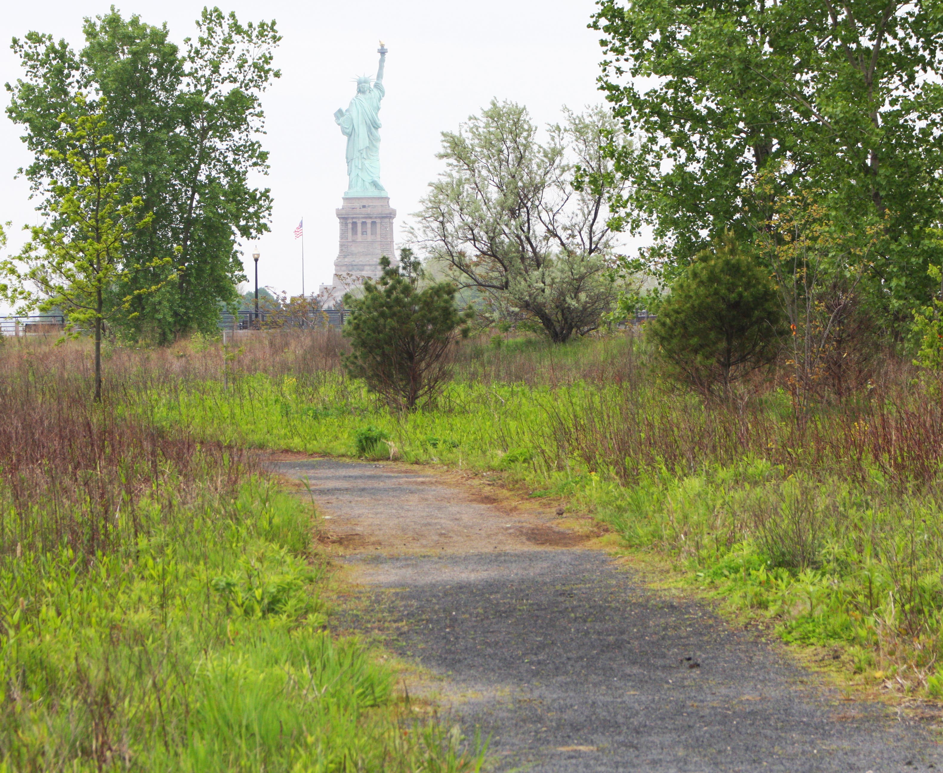
Start the Liberty State Park Loop at the park’s headquarters, situated on the park’s southern side along the Hudson River Walkway. Follow the walkway toward the Hudson River. It will take you through a beautiful green space with picnic areas and a view of the Verrazano Bridge, the longest suspension bridge in the U.S., to the south. Follow the walkway north for amazing views of the Hudson River, Ellis Island, the Statue of Liberty, and Liberty Island.
Central Railroad of New Jersey Terminal to New York Skyline Observation Deck

Map Points: LSP008-LSP010
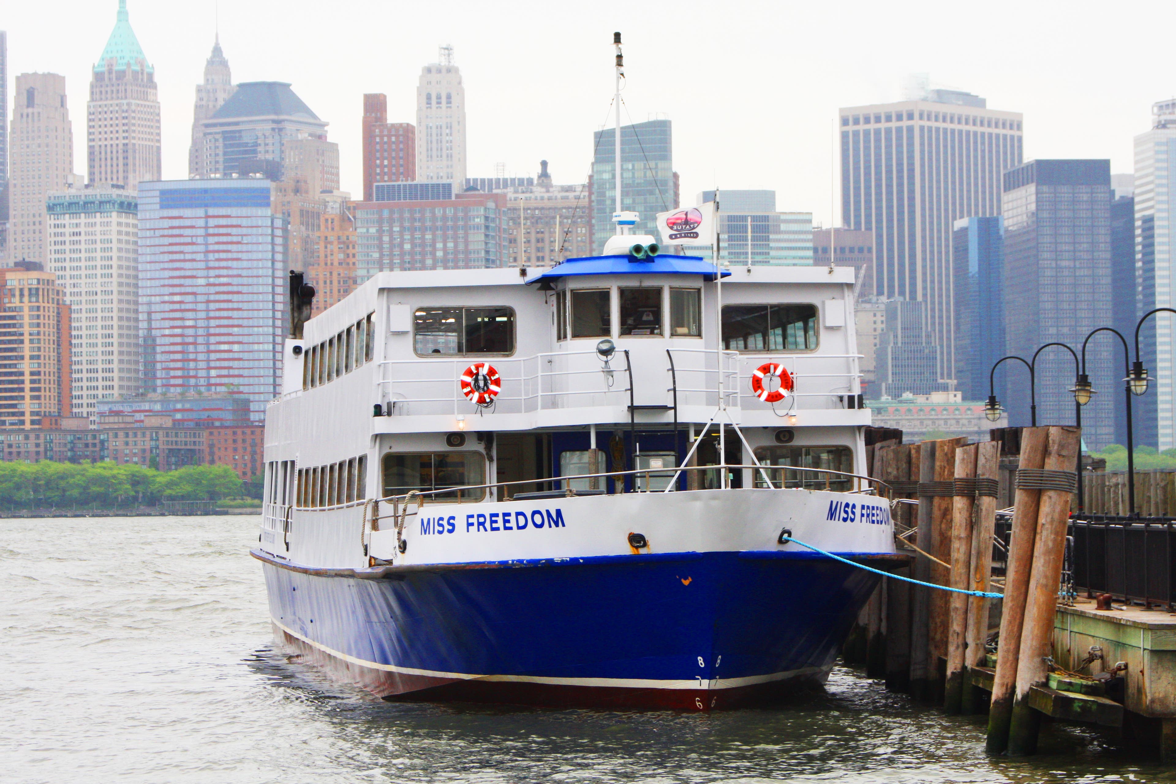
After Ellis Island, continue along the Hudson River Walkway to the Liberty Walk (technically part of the Hudson River Walkway) and follow it as it winds along the Hudson and wraps around to the Central Railroad of New Jersey Terminal, which shuttled newly arrived immigrants from Ellis Island into New Jersey during the 19th century. Ferries are available to both the Statue of Liberty and Ellis Island from the terminal’s pier. Continue north on the walkway to reach the Empty Sky Memorial, a monument that honors New Jersey residents who died on 9/11.
New York Skyline Observation to Start of Liberty State Park’s Multi-Use Path

Map Points: LSP008-LSP013
Just past the 9/11 monument, you’ll reach the northernmost point of the walkway where views of Manhattan, the Hudson River, and Jersey City unfurl. From here, the route turns inland along the Morris Canal Basin and loops back into the heart of the park. Take the Liberty House’s walkway back toward the park and cross Audrey Zapp Drive to access Liberty State Park’s multi-use path.
Start of Liberty State Park’s Multi-use Path to Interpretive Center
Map Points: LSP013-LSP021
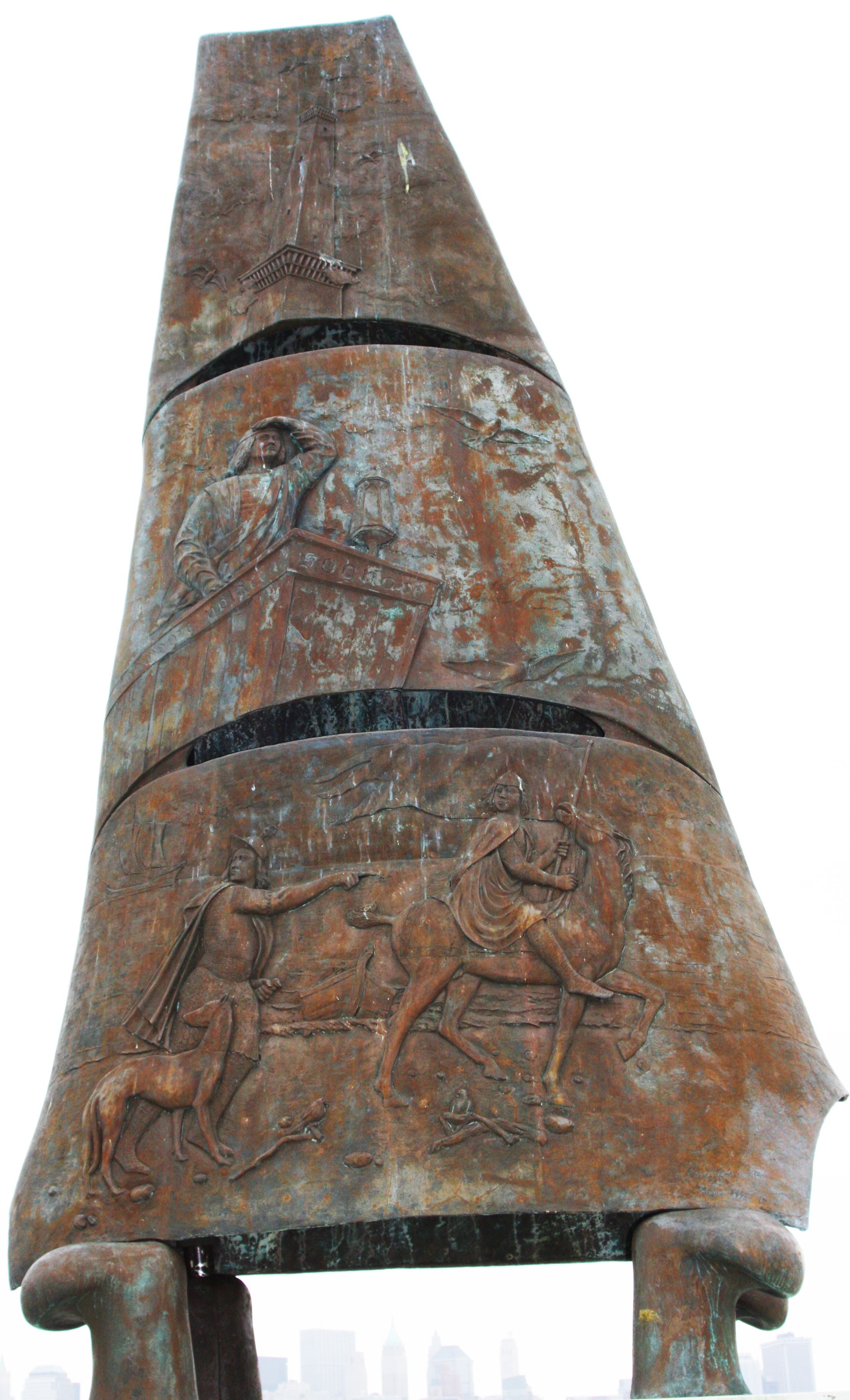
Liberty State Park’s multi-use trail is paved and winds around gardens and memorials. You can take a short detour and visit Christopher Columbus Plaza or the Liberty State Park Playground a little further down. Continuing south along the trail will bring you to the Interpretive Center.
Interpretive Center to Hudson River Walkway
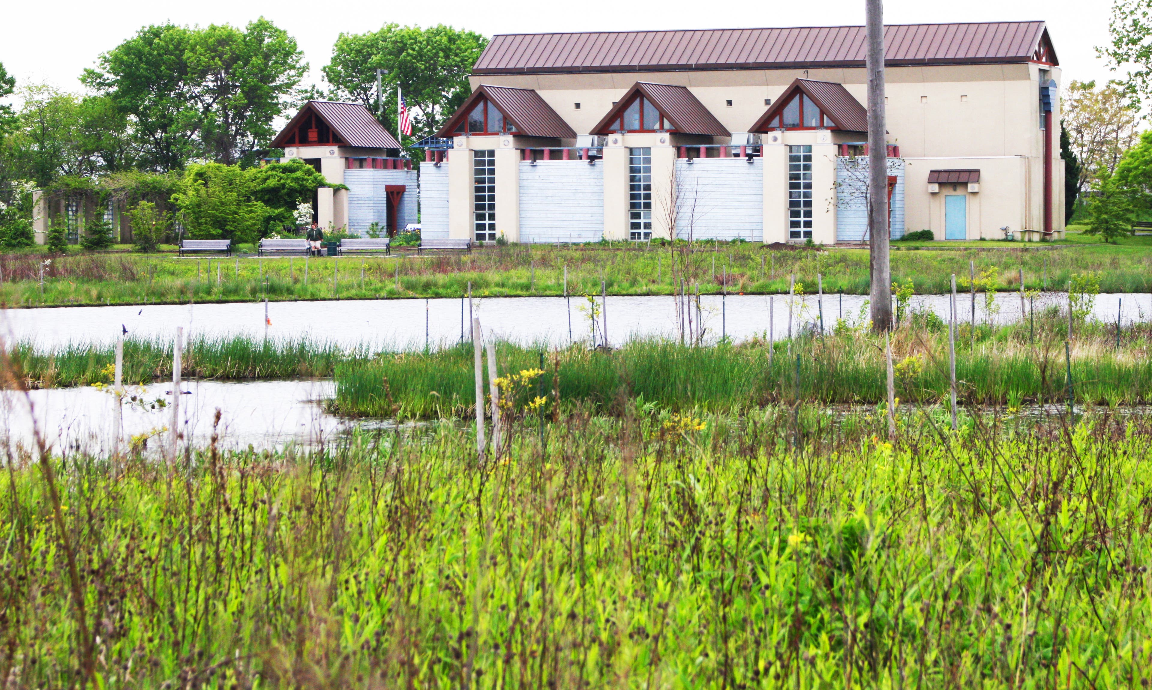
Map Points: LSP022-LSP26
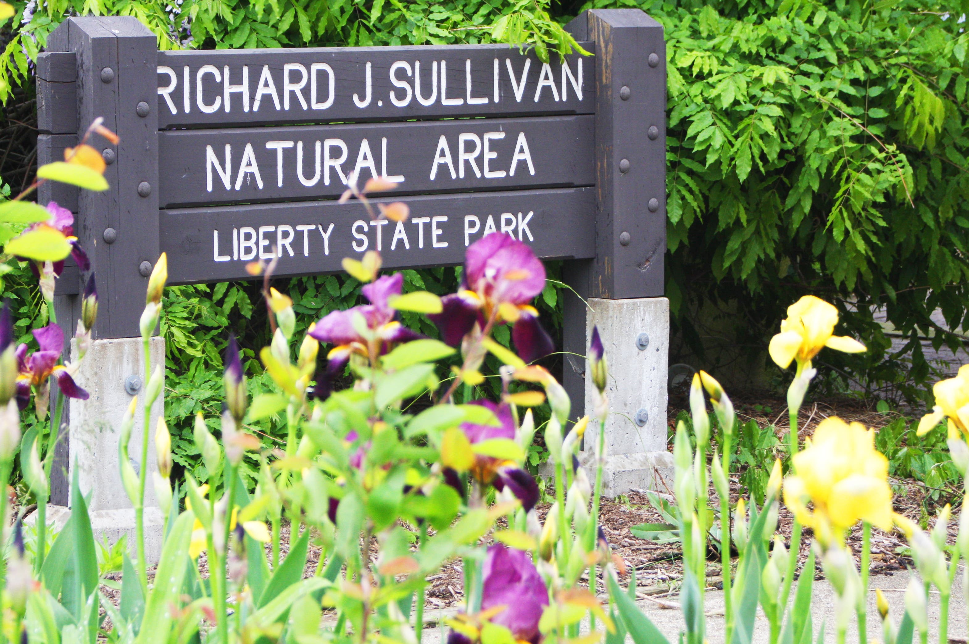
Once you reach the Interpretative Center, take some time to walk through the patio and garden areas to the Richard J. Sullivan Natural Area. You’ll find a marshland full of phenomenal birding spots and a short trail that winds around a salt marsh. When you are done enjoying the views of the natural area, follow the trail back out the Hudson River Walkway and make your way south back to the park offices.
Hudson River Walkway to Park Office (hike’s end)
Map Points: LSP027-LSP029
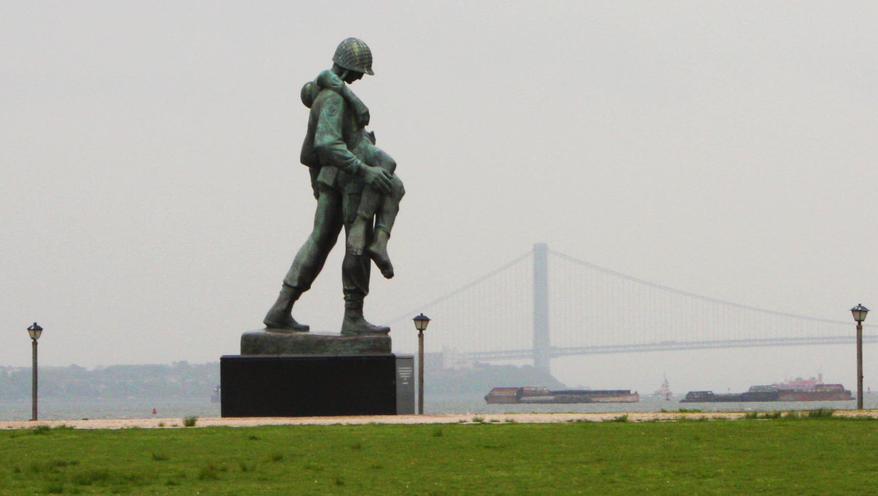
Once you merge back onto the Hudson River Walkway, retrace your steps from earlier in the day back to the finish. When you reach the South Lawn, stop for a moment at the Liberation Monument on the left. Continue straight to the park office and the end of the hike.
Liberty State Park Photo Gallery
