Published September 20, 2013 03:21PM
New York City: Kaaterskill High Peak
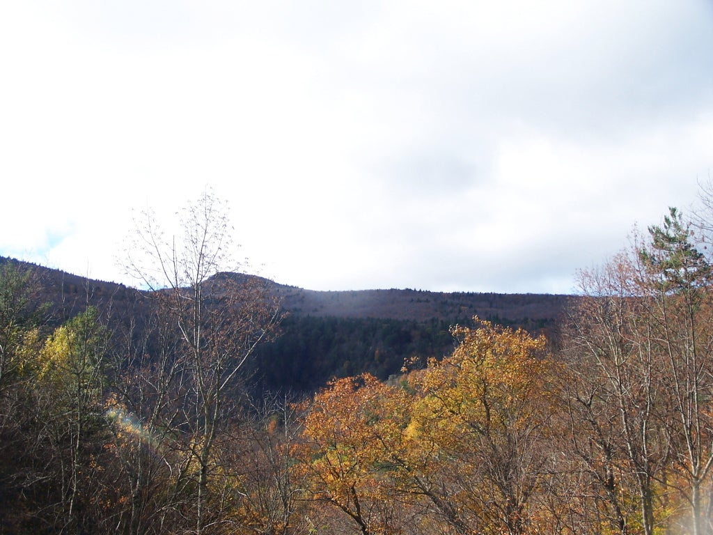
Hike 9.2 miles to a picturesque peak loved by Hudson Valley painters like Thomas Cole. This lasso loop passes two plane wrecks and provides unmatched views of the Catskills.
'Andy Arthur'
Trail Facts
- Distance: 9.5
- Miles from city center: 115
Waypoints
KHP001
Location: 42.1339874267578, -74.0819473266602
From lot, head N on well-marked trail
KHP002
Location: 42.1401748657227, -74.076530456543
Turn R; trail spirals up a muddy mountain side
KHP003
Location: 42.1425437927246, -74.0743865966797
Trail makes a hard R
KHP004
Location: 42.142391204834, -74.0721740722656
Turn L
KHP005
Location: 42.1450996398926, -74.0700149536133
Cross footbridge over a tumbling creek
KHP006
Location: 42.1688499450684, -74.0794067382812
L @ Wildcat Falls JunctionOptional sidehike: Turn R to Wildcat and Buttermilk Falls
KHP007
Location: 42.1674346923828, -74.0804443359375
Continue L onto a wide, orange-blazed trail
KHP008
Location: 42.1585655212402, -74.0708541870117
Plane wreckage: A rusty engine block, mangled wings, and other plane parts litter the ground
KHP009
Location: 42.1577682495117, -74.0823287963867
Turn R @ big cairn pile and begin a butt-busting climb up the old Twilight Park Trail (a lost and unmaintained route)
KHP010
Location: 42.161922454834, -74.0801239013672
Overlook: Flat boulder near top offers 180° views of deep valleys and wooded summits; Kaaterskill High Peak (3,655 ft.) is near
KHP011
ADVERTISEMENT
Location: 42.1621513366699, -74.0798721313476
More plane parts litters the woods about 25 yards downhill from summit; trail continues N off the summit
KHP012
Location: 42.167537689209, -74.0815048217774
Turn R, then L, closing lasso loop; return 3.3 miles to trailhead