Published September 20, 2013 03:01AM
New York City: John Muir Nature Trail
Amble through verdant woodlands in New York City's fourth-largest park, Van Cortlandt, on this 4-mile out-and-back.
Located on Van Cortlandt Park’s north side, John Muir Trail’s 4-mile out-and-back winds through the Northwest Forest before crossing over to the park’s east side and into the Croton Woods.
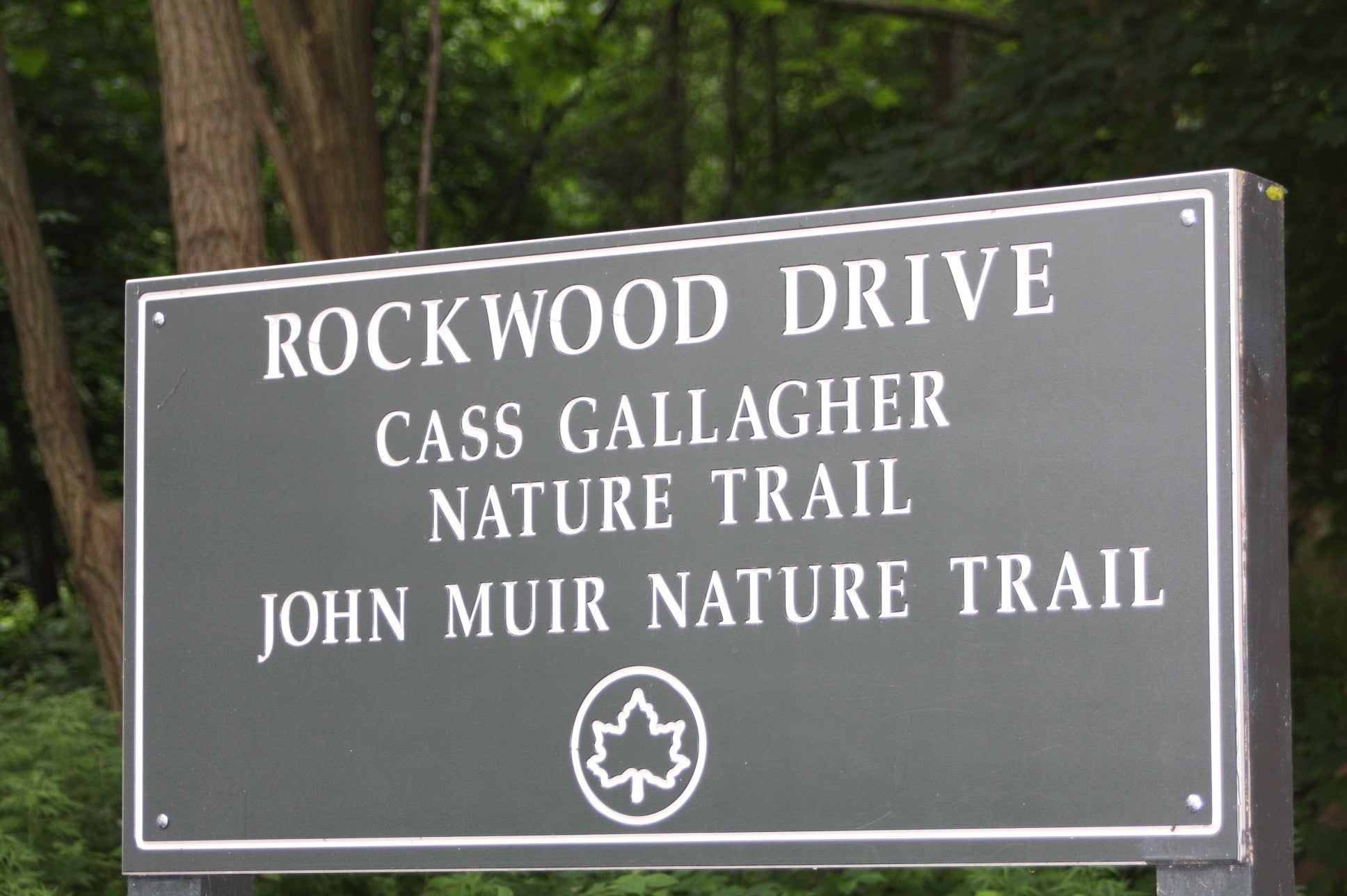
Follow the pink blazes from the trailhead at Rockwood Drive. A red barn full of stables sits to the right; to the left is the Northwest Forest. After a short distance, hikers will enter a wide, paved section of the trail. The trees here are towering. A sign in the middle of the path indicates this is Howell Grove. There are several nature trails in the grove, offering countless opportunities for further exploration on side trips.
ADVERTISEMENT
From the grove, the John Muir Trail crosses over Moshulu Parkway and heads north through another dense forest. The pathway goes beneath an overpass, finally reaching the entrance to Croton Woods. A small waterfall trickles next to the rock steps that access the quietest and most remote section of the hike.
The trail snakes through the woods to a nursery. Then, it turns south and deadends at Van Cortlandt Park East, passing a Gaelic football field on the left. Retrace steps back to the start at Rockwood Drive.
-mapped by MacKenzie Ryan
Mass Transit: Take the number 1/9 train to 242nd Street/Van Cortlandt Park Station and walk north on Broadway to The Frank Kelly Field Road. Bus riders can take the Bx9 or the express BxM3 to the park’s west side.


ADVERTISEMENT
Trail Facts
- Distance: 6.8
Waypoints
MUI001
Location: 40.9022098, -73.89457
From the parking lot, walk east toward Rockwood Drive and the trailhead.
MIU002
Location: 40.902392, -73.894323
Merge onto Rockwood Drive, which becomes the John Muir Nature Trail.
MUI003
Location: 40.900898, -73.892533
Go straight @ L-junction. The sign indicates this area is called Howell Grove.
MUI004
Location: 40.899908, -73.8919388
Bear R @ Y-junction with the Cross Country Course. Cross over the Henry Hudson Parkway.
MUI005
ADVERTISEMENT
Location: 40.899481, -73.891679
Turn L @ three-way junction.
MUI006
Location: 40.899487, -73.891318
Bear L @ Y-junction, following the pink-blazed trail next to the parkway.
MUI007
Location: 40.899035, -73.890077
Turn L @ T-junction.
MUI008
Location: 40.899185, -73.884913
Bear L @ Y-junction.
MUI009
Location: 40.901792, -73.8839518
Bear R @ Y-junction, heading up a set of rock steps. Pass a waterfall on the left.
MUI010
Location: 40.900763, -73.882828
Turn L @ T-junction with Weir Building to the left.
MUI011
Location: 40.9022068, -73.882597
Bear R @ Y-junction. Head through Croton Woods.
MUI012
Location: 40.902623, -73.881287
Go R @ T-junction.
MUI013
Location: 40.9022658, -73.880894
Bear L @ Y-junction.
MUI014
Location: 40.902319, -73.879745
Bear L @ T-junction.
MUI015
Location: 40.902566, -73.879383
Continue L and walk beneath the overpass.
MUI016
Location: 40.9031638, -73.877609
Turn R @ Y-junction.
MUI017
Location: 40.902386, -73.873886
Follow pink blazes alongside the road.
MUI018
Location: 40.899441, -73.872995
Reach end of trail. Retrace steps to beginning.
ADVERTISEMENT
Trailhead
Location: 40.9022824, -73.8942897
Barn
Location: 40.9021121, -73.8941932
John Muir Nature Trail
Location: 40.9007092, -73.8924766