New York City: Hunter Island Loop
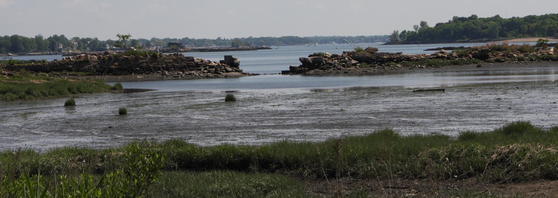
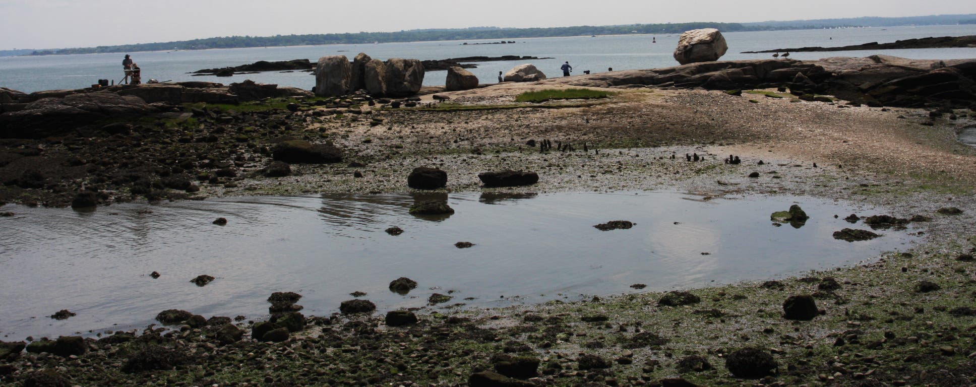
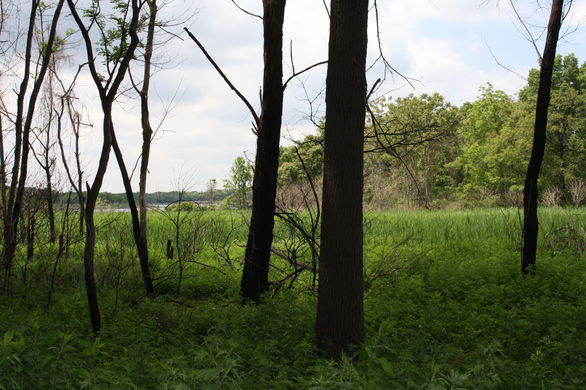
Right next to Orchard Beach and the Twin Islands, the 3-mile loop around Hunter Island offers an exploratory route through marshland, beaches full of herons and mussels, gorgeous forests, the area’s tiny, rock islands, and unprecedented views of the Long Island Sound.
Start from the parking lot at Orchard Beach. While hikers can immediately bear onto one of Hunter Island’s many pathways, they shouldn’t miss a chance to visit one of New York’s most beautiful beaches. Follow the boardwalk east then take the first, unmarked, gravel trail next to a marsh-rimmed lagoon. A sign designates that this area is forever wild. Watch for herons and other shorebirds.
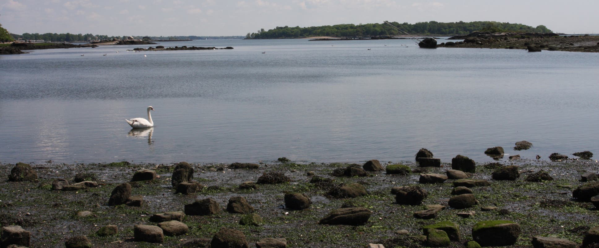
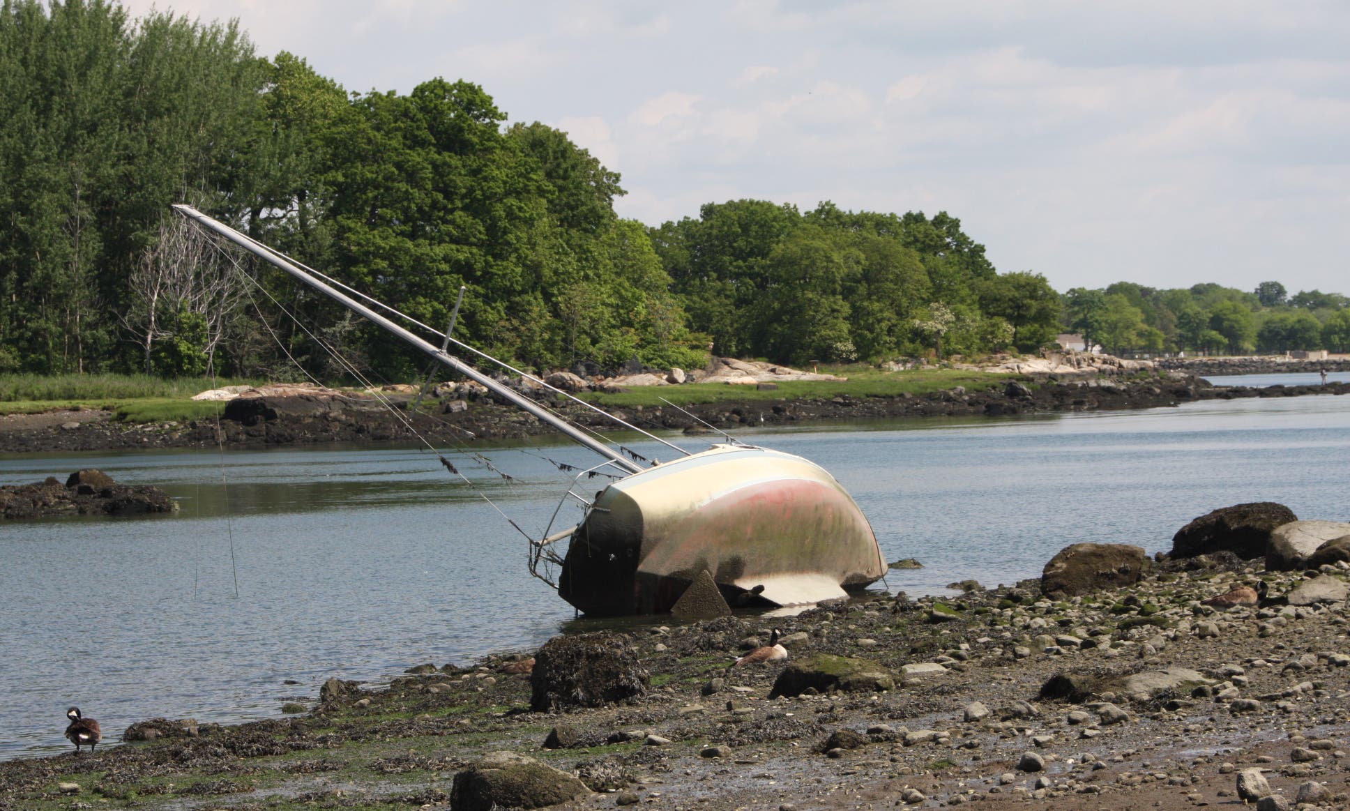
The route follows the eastern shore of Hunter Island, with spur trail options to explore the beaches more closely. Perhaps the most worthy bushwhacking is a side-trip to the barrier between Hunter and the Twin Islands. An abandoned ship sits nearly tipped over next to the shell-littered sands. Cormorants, swans, and geese play along the rocks in this lagoon. When finished, find the way back to the main trail and continue north.
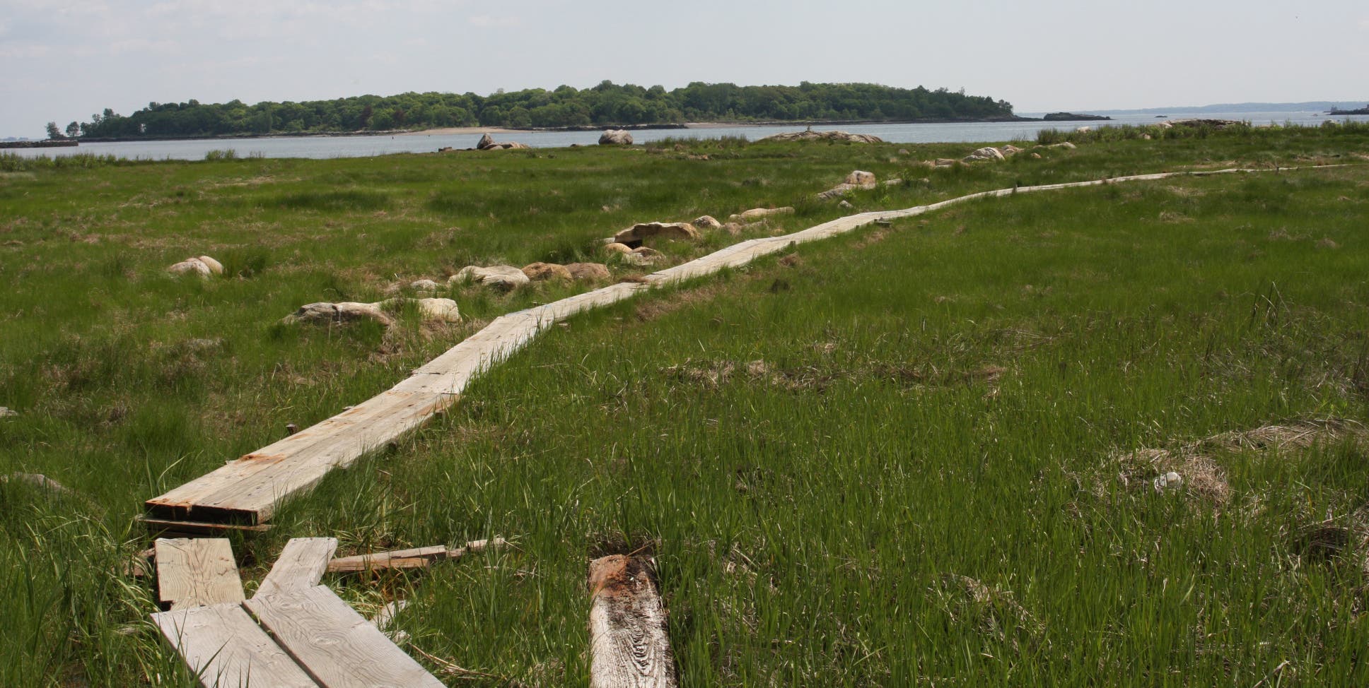
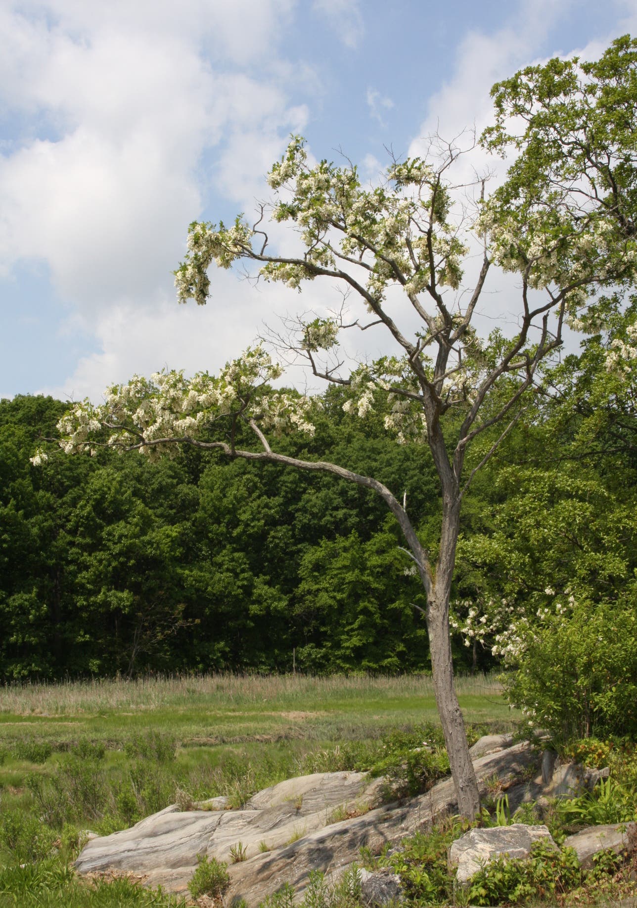
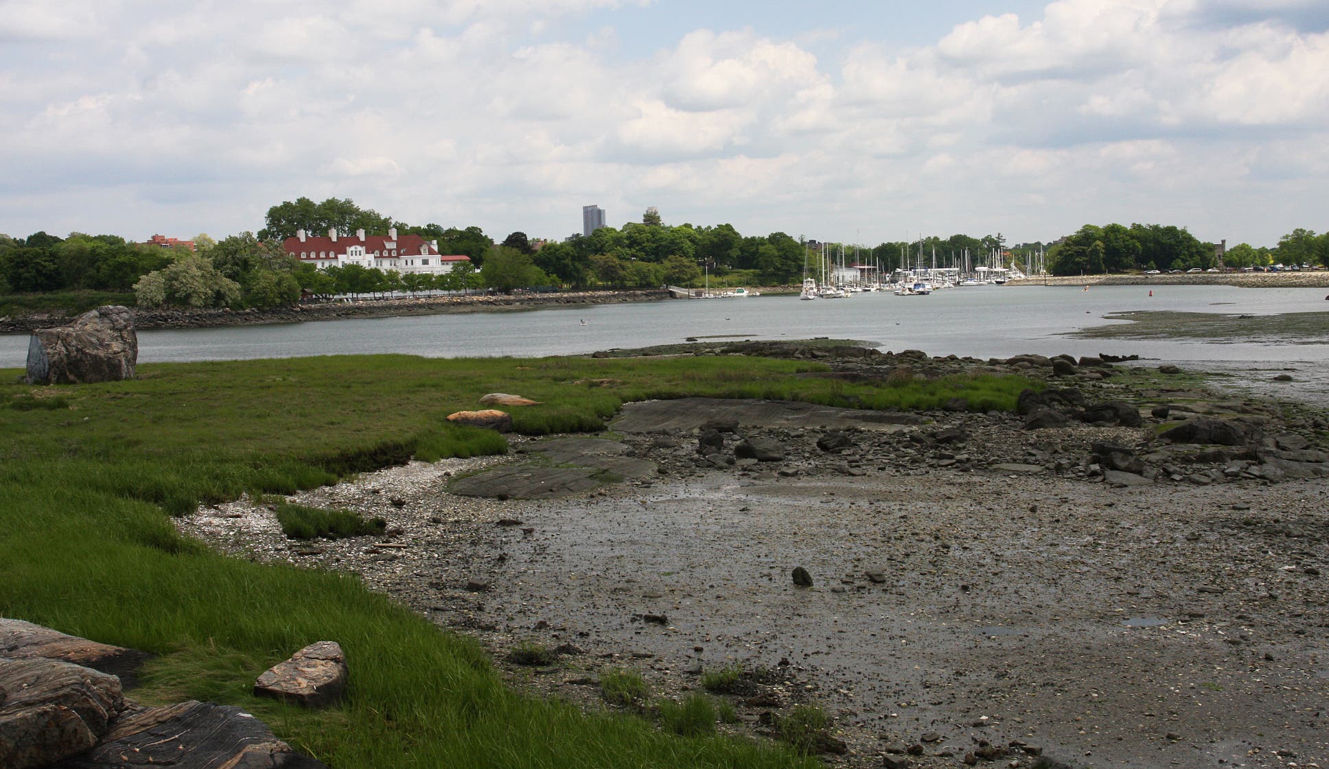
In the northeast corner of the island, a wooden plank path traverses a marsh full of tall grass and reeds to a cluster of rocky islands. Sit under the shaded of flowering trees, enjoying panoramic vistas of the Long Island Sound. Retrace the way back to the pathway as it goes east along the northern shore of Pelham Bay Park. Once through the woods, several more islands are visible. The New York Athletic Club, located in a gorgeous white mansion, is to the left; Glen Park is to the right. Loop back to the parking lot along the lagoon.
Editor’s Note: This route can be combined with Orchard Beach to Twin Islands for a total of 8.4 miles.
-Mapped by MacKenzie Ryan
Mass transit from Manhattan: Ride the 6 to Parkchester, then transfer to the 6 extension to Pelham Bay. Take the Bx29 to the bus terminal at Orchard Beach.
From Manhattan: Take 9A North to exit 14 for I-95. Keep right at the fork to merge onto I-95 North. Stay left at the fork, following signs for I-95/Cross Bronx Expressway, and merge onto I-95 North. At 8.1 miles, take exit 8B for Pelham Parkway. Continue straight onto Shore Road. Turn right at City Island Road. The start of the hike is across the street. To continue to parking, follow City Island Road around the traffic circle. Merge onto Park Drive. The parking lot is on the right.




Trail Facts
- Distance: 4.5
Waypoints
HUN001
Location: 40.87064, -73.7929
From the parking lot, walk east toward the beach.
HUN002
Location: 40.870367, -73.792494
Take gravel path through squash and tennis courts to Orchard Beach’s boardwalk.
HUN003
Location: 40.870419, -73.791099
Turn R @ three-way.
HUN004
Location: 40.869736, -73.790434
Turn L onto boardwalk.
HUN005
Location: 40.870257, -73.788495
Turn L onto unmarked gravel path.
HUN006
Location: 40.87089, -73.7887
Veer R onto wood chip trail. Though it’s not designated, this is the Kazimiroff Trail.
HUN007
Location: 40.872545, -73.787681
Veer R @ spur trail for views of the Twin Islands and the Long Island Sound.
HUN008
Location: 40.873164, -73.787655
Bear R @ Y-junction.
HUN009
Location: 40.875347, -73.786582
Continue straight @ four-way junction.
HUN010
Location: 40.877396, -73.786366
Continue past trail on left.
HUN011
Location: 40.877658, -73.786369
Veer R onto trail toward the rocky islands to the east. From this point on, hikers are not following the Kazimiroff Trail.
HUN012
Location: 40.877639, -73.784949
Veer R @ Y-junction and walk around the island. When finished, retrace steps back to the main trail continue west.
HUN013
Location: 40.879253, -73.790426
Bear R @ Y-junction.
HUN014
Location: 40.879851, -73.790437
Head R @ T-junction to views of the New York Athletic Club, Glen Park, and the surrounding islands. When finished with scenery, retrace steps back to the this junction and bear R.
HUN015
Location: 40.879645, -73.791298
Veer R @ T-junction.
HUN016
Location: 40.878604, -73.792178
Continue straight @ Y-junction.
HUN017
Location: 40.876978, -73.792143
Bear R @ Y-junction.
HUN018
Location: 40.873695, -73.794166
Veer R @ Y-junction. Follow the path back to the parking lot and the finish.
Orchard Beach
Location: 40.869667, -73.79022
Marsh
Location: 40.870657, -73.788611
Swan
Location: 40.872661, -73.786883
Partially capsized boat
Location: 40.873107, -73.785435
Two Tree Island
Location: 40.873444, -73.785038
Ladder
Location: 40.873728, -73.787221
Walkway through marshland
Location: 40.877999, -73.785687
Long Island Sound
Location: 40.877512, -73.784748
Hunters Island
Location: 40.877285, -73.784657
Spring flowers
Location: 40.877273, -73.784807
Mansion and marina
Location: 40.880352, -73.789372
Lagoon flora
Location: 40.876725, -73.792205