Published September 20, 2013 03:32PM
New York City: Doubletop Mountain
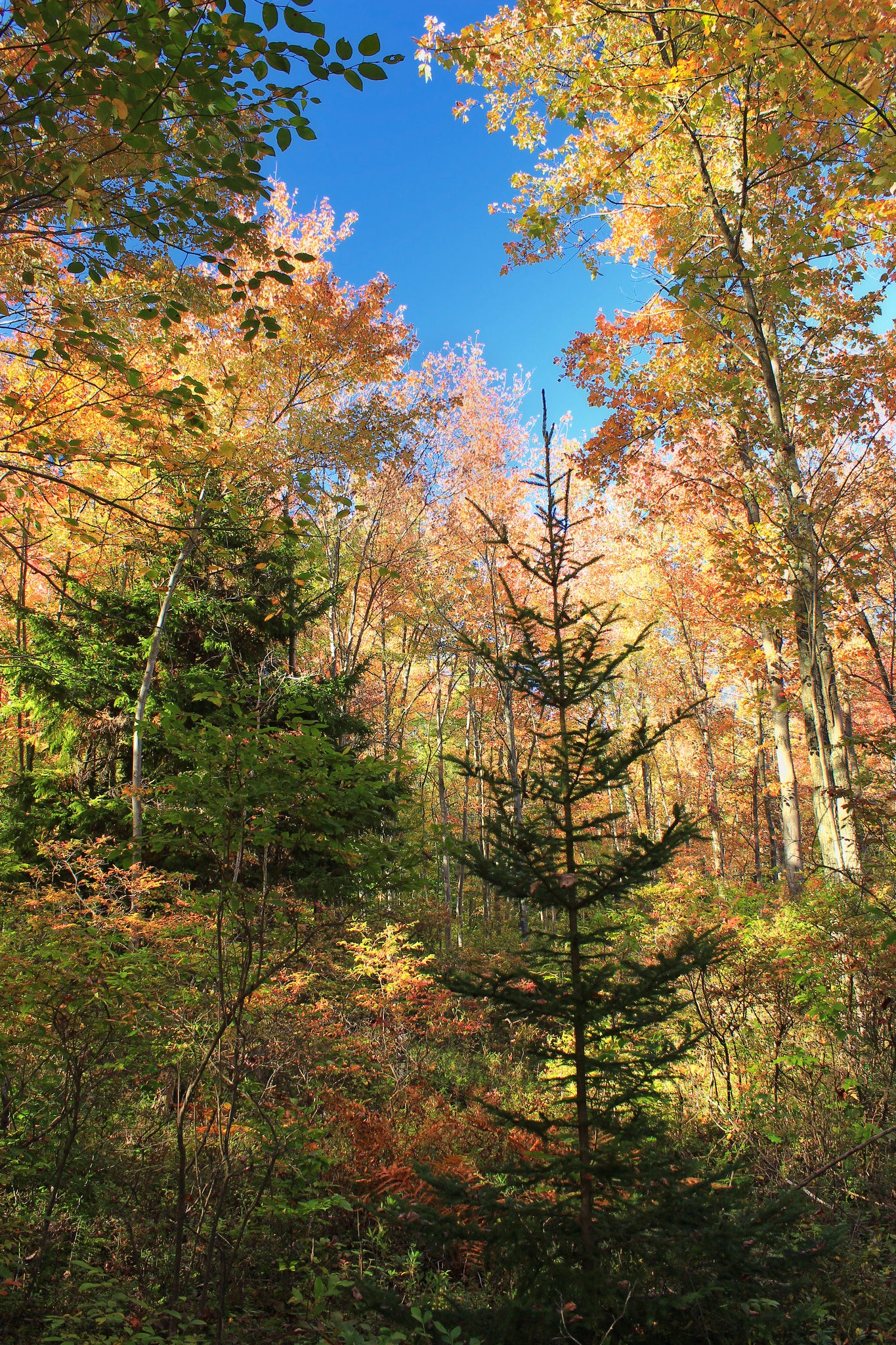
Escape the crowds on the Catskill High Peaks with this 5.6-mile bushwhack to the range's highest trail-less summit. Compass skills required; hiking poles recommended.
'Nicholas A. Tonelli'
Trail Facts
- Distance: 4.5
- Miles from city center: 143
Waypoints
DMP010
Location: 42.0275344848633, -74.5280151367188
Reach the summit of Doubletop (3,861 ft.) and sign hidden trail log. Some wilderness views to the S and W from here, and more from the lowest summit. Return the same way to your car
DMP006
Location: 42.047061920166, -74.5264587402344
Pull compass out and bear due S
DMP007
Location: 42.043270111084, -74.526725769043
Thick spruce and balsam forest; head S
DMP008
Location: 42.0374298095703, -74.5273513793945
Keep S; avoid the tougher slopes to the E and W
DMP009
Location: 42.0328140258789, -74.5285415649414
Last push: It’s a grueling but rewarding scramble to the peak
DMP005
Location: 42.0480613708496, -74.5259552001953
Begin off-trail section; veer R up steep hill
DMP001
Location: 42.0578422546387, -74.5391159057617
Head SE on Seager/Big Indian Trail (yellow blazes)
DMP002
Location: 42.0531578063965, -74.5331192016602
Carefully cross Dry Brook
DMP003
Location: 42.0499992370606, -74.5301361083984
Rock-hop near the confluence of Dry Brook and Flatiron Brook
DMP004
Location: 42.048885345459, -74.5270843505859
ADVERTISEMENT
Small waterfall; good rest spot before tough climb ahead