Published September 20, 2013 03:29PM
New York City: Cornell Trail to Doodletown
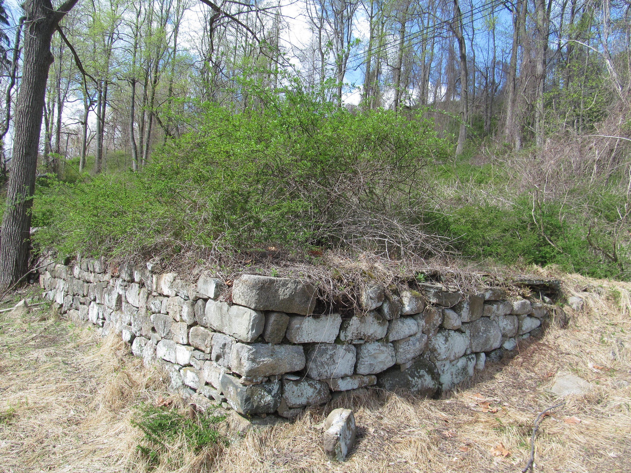
Climb two peaks, then return through an abandoned village on this historic 6.2-mile loop in Bear Mountain State Park.
'Doug Kerr'
Trail Facts
- Distance: 10.0
Waypoints
CTD001
Location: 41.3012542724609, -73.9860382080078
Head S across road; R onto Cornell Trail (blue blazes); follow Doodletown Brook
CTD002
Location: 41.2847671508789, -73.9897613525391
Cornell ends; bear R onto Ramapo-Dunderberg (red dot on white blaze); old Cornell iron mine on R
CTD003
Location: 41.2842826843262, -73.9918899536133
Turn L, staying on Ramapo to Bald Mtn. (1,151 ft.); 180-degree views to Bear Mountain and Hudson River
CTD004
Location: 41.2807350158691, -73.9890441894531
Turn R @ 3-way onto road; shortly later, turn R back onto trail
CTD005
Location: 41.2770385742188, -73.9931945800781
Straight @ 4-way
CTD006
Location: 41.2754898071289, -73.9985961914062
Turn R @ 4-way onto Timp-Torne (blue blaze)
CTD007
Location: 41.2757949829102, -74.001838684082
Timp Summit (1,081 ft.); stellar views of NYC skyline
CTD008
Location: 41.2781524658203, -74.0040054321289
Turn R @ 3-way onto Timp Pass Rd.
CTD009
Location: 41.2828140258789, -73.9979400634766
Turn L @ 3-way onto 1777 Trail; signs mark historical points in abandoned Doodletown village
CTD010
Location: 41.2950210571289, -73.9976654052734
ADVERTISEMENT
Herbert Cemetery Dr.; 1777 Trail leaves road; continue straight to 1777 E; turn R
CTD011
Location: 41.2959785461426, -73.9940795898438
Turn L, staying on 1777 E to June Cemetery
CTD012
Location: 41.2983055114746, -73.9895858764648
Side trail on R descends to waterfall and swimming hole; continue on road back to parking lot