Become a Member

Get access to more than 30 brands, premium video, exclusive content, events, mapping, and more.

Already have an account? Sign In

Become a Member

Get access to more than 30 brands, premium video, exclusive content, events, mapping, and more.

Already have an account? Sign In

Brands

Rocky Mountain National Park

Never Summer Wilderness: Baker Gulch to Bowen Gulch

Moose, knee-high flowers, two alpine lakes, and infinite views are just a few reasons to hike this 19-mile loop in the Never Summer Wilderness.

Heading out the door? Read this article on the new Outside+ app available now on iOS devices for members! Download the app.

This 19-mile loop two hours northwest of Denver delivers national park caliber scenery—clutches of 13,000-foot peaks amid trout-laden alpine lakes—with a dose of wilderness-grade solitude. From the Bowen-Baker trailhead, set off through a mile of Rocky Mountain National Park forest before crossing into the 21,090-acre Never Summer Wilderness.

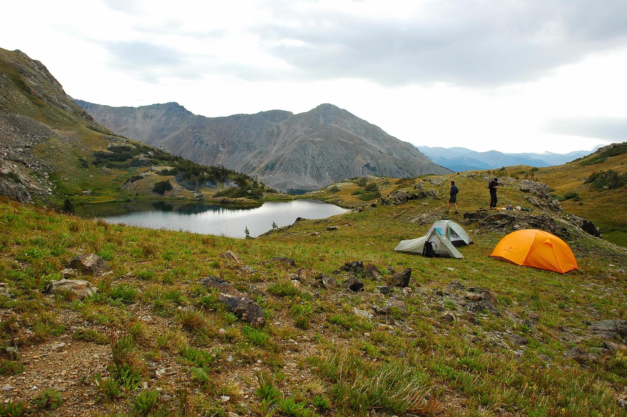
Bear right at the Y-junction heading northwest toward Baker Gulch. Climb 2,500 feet on the 5.4-mile hike to camp, passing under mixed conifers before reaching open glades. Look left for moose (they hang here), then cross Baker Gulch at mile 4.2. From here, it’s 1.3 switchbacking miles through Indian paintbrush and columbine to your camp at Parika Lake (11,380 feet). Bring a rod to cast for dinner.
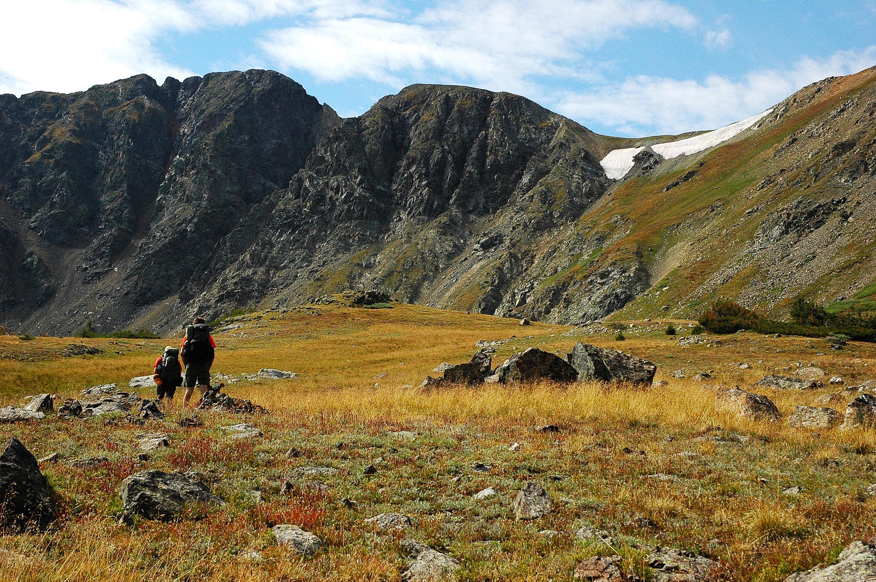
The next morning, get moving by 8 a.m. to conquer the day’s Continental Divide ridgewalk before afternoon storms move in (usually 2 p.m. in summer months). You’ll reach the ridge in .6 mile, gaining 600 feet. Turn southwest onto the Divide for 360-degree views of the three “cloud mountains” of the Never Summer Range: Mts. Cumulus (12,725 feet), Nimbus (12,706 feet), and Stratus (12,461 feet). In 1.4 miles, turn left at the T-junction to link to the Continental Divide Trail. You’ll pass fields of knee-high wildflowers (July) for about a mile before reaching Bowen Pass.
From here, drop 1,000 feet over 1.4 miles to a junction with Bowen Lake Trail. Got an extra day? Turn down the path and hike 1.4 miles to hit a secluded site at Bowen Lake (11,019 feet). See route on map. Otherwise, continue southeast down the gulch, through thick spruce and lodgepole, steering left at its end to reach your car in 2.7 miles.

-Mapped by Kim Phillips, Kris Wagner, and Scott Gates

PLAN IT

MAP:
>> Rocky Mountain National Park ($12, natgeomaps.com)
>> Order the USGS topo quads listed above at store.usgs.gov.
>> Order a custom map of this route by selecting the “Print MyTopo” option in the left-hand menu bar.

CONDITIONS: Trail Ridge Road is closed from November to April. Check conditions at (970) 586-1206. Check weather at Grand Lake, CO (80447) Weather

PERMIT: $20 for entry to Rocky Mountain National Park; (970) 586-1242, nps.gov/romo

ROCKY MOUNTAIN NATIONAL PARK INFO:
Visitor Information: (970) 586-1206 (daily, 8 a.m. to 4:30 p.m. Mountain Time; recorded information after hours)

Trail Ridge Road Information: Recorded Message 970-586-1222 (available 24 hours a day, updated when conditions and/or road status change)

Visitor Information for the Hearing Impaired (TTY): 970-586-1319 (daily, 8 a.m. to 5 p.m. Mountain Time)

Backcountry Office: (970) 586-1242

NEVER SUMMER WILDERNESS INFO:
Arapaho & Roosevelt National Forests

OTHER RESOURCES

GAS
Shell‎
860 Moraine Ave.
Estes Park, CO
(970) 586-7867

GEAR
Grab supplies or gear rentals (packs, bags, pads, and fishing gear) at Estes Park Mountain Shop, 2050 Big Thompson Ave., Estes Park, CO; (866) 303-6548.

GROCERIES
The Country Market
National Park Village
900 Moraine Ave.
Estes Park, Colorado
(970) 586-2702

RESTAURANTS
Try a Mountain Mai Tai and the buffalo-and-bacon meatloaf at Peak-to-Peak American Grille, 451 South Saint Vrain Ave., Estes Park, CO; (970) 577-0577

None
None
None
None
None
None
None
None
None
None
None

Trail Facts

  • Distance: 30.6

Waypoints

BGL001

Location: 40.354668, -105.857315

Head northwest from parking area on gravel road.

BGL002

Location: 40.356617, -105.861771

Bear right @ Y-junction toward Baker Gulch. Head northwest into Never Summer Wilderness.

BGL003

Location: 40.369999, -105.898979

It’s a steady ascent through mixed conifers; moose may graze in glades on left.

BGL004

Location: 40.37735, -105.920547

Cross creek and turn left. Ascend switchbacks to an alpine meadow. There are good campsites on the west end of Parika Lake.

BGL005

Location: 40.381134, -105.946266

Continental Divide: The weatherbeaten peaks of Mounts Cumulus, Nimbus and Stratus dominate the eastern skyline. Head southwest along the divide.

BGL006

Location: 40.372489, -105.948458

Turn left @ T for a stretch rich in wildflowers on the Continental Divide Trail. In 1 mile, head south on Bowen Pass Trail for a moderate descent.

BGL007

Location: 40.3575, -105.943565

Follow trail through grassy, sometimes swampy meadow into a dense pine forest.

BGL008

Location: 40.345244, -105.939134

Bear right onto Bowen Lake Trail; steady climb ahead.

BGL009

Location: 40.331121, -105.943243

More campsites @ Bowen Lake. Retrace steps to Waypoint 8; turn right onto Bowen Gulch Trail.

BGL010

Location: 40.343449, -105.934601

Bridge crossing. In 0.4 mile, pass trail to Blue Lake on the left; keep straight.

BGL011

Location: 40.3377, -105.906868

Cross raging creek on split log bridge. There’s another stream crossing in 0.2 mile.

BGL012

Location: 40.332863, -105.875198

Turn left.

BGL013

Location: 40.35416, -105.867508

Cross log bridge, then bear left onto a flat, gravel trail. Continue to Waypoint 2 and retrace steps back to trailhead.

Parika Lake

Location: 40.380837, -105.939671

Backcountry campsite at Parika Lake with Baker Mountain, Mount Stratus and Mount Nimbus in the background.

Alpine Landscape

Location: 40.378451, -105.940722

Below the Continental Divide

Location: 40.378361, -105.941913

The Continental Divide

Location: 40.379415, -105.944574

Soaring ridgelines and open spaces along the spine of the Rocky Mountains.

Climb to the Continental Divide

Location: 40.380535, -105.945518

Descending Fairview Mountain

Location: 40.378181, -105.95467

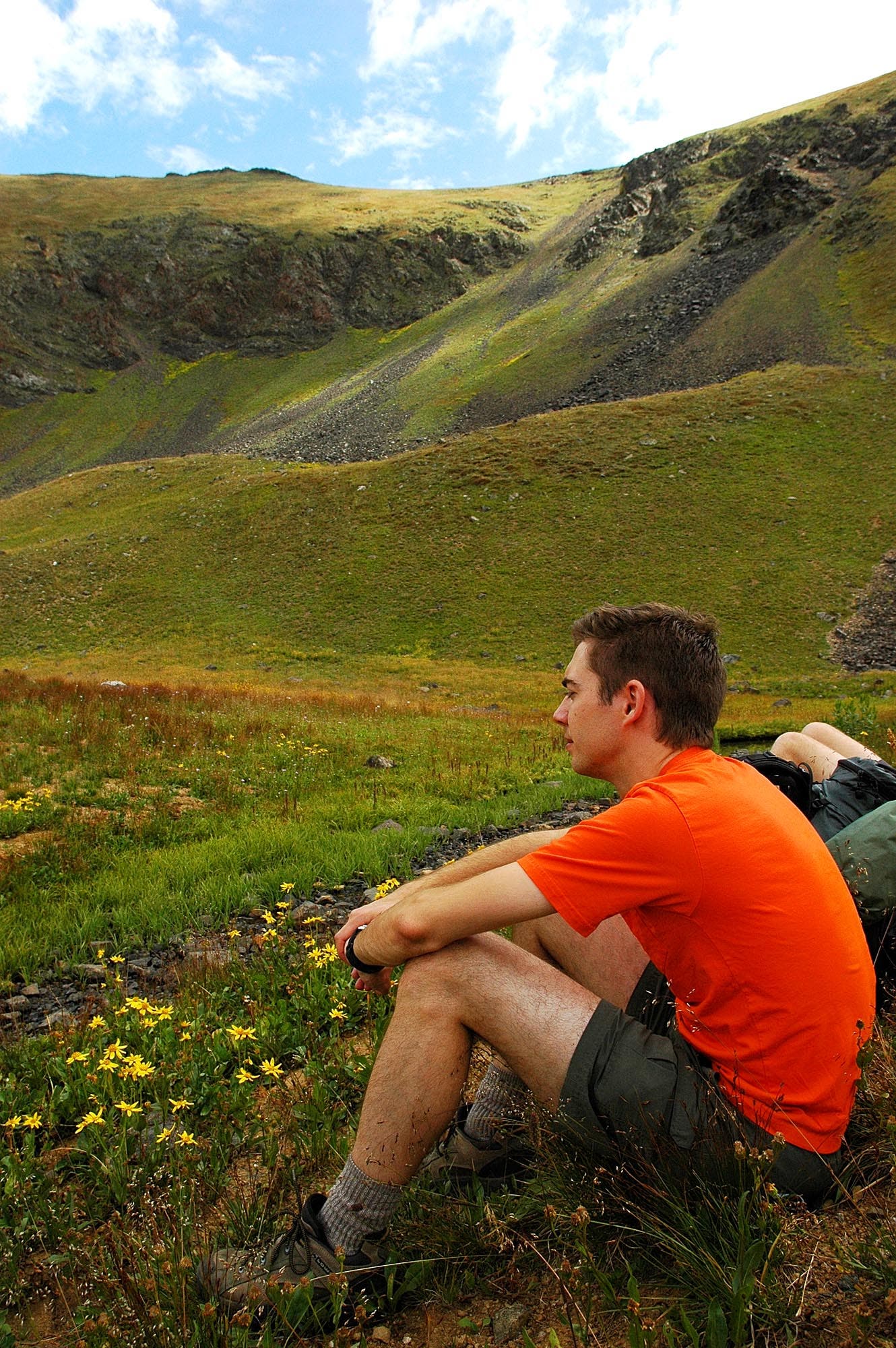
Relaxing on the Continental Divide Trail

Location: 40.37416, -105.949831

Bowen Lake Trail

Location: 40.345211, -105.939016

The Bowen Lake-Bowen Gulch trail junction.

Campsite at Bowen Lake

Location: 40.331072, -105.943029

Bowen Lake

Location: 40.329747, -105.944338

Bowen Lake

Location: 40.329673, -105.944306

How to Pack for Backcountry Skiing

Get to know the winter safety gear you need in your pack.

Keywords: