Mount St. Helens National Volcanic Monument: Mount St. Helens via Monitor Ridge



Trail Facts
- Distance: 6.1
Waypoints
MSH001
Location: 46.146225, -122.183594
The trail head is located at the SW end of the parking area, near the entracne, for the Climber’s Bivouac.
Take Ptarmigan trail #216A from the trail head.
For the next 2 miles, gradually ascend toward Monitor Ridge under the covering of new growth forests. on a nice dirt path.
MSH002
Location: 46.164394, -122.190239
Continue straight @ 4-way intersection towards Monitor Ridge. The other trail at this intersection is the Loowit Trail #216, which circumnavigates Mt. St. Helens.
There is also a compost toilet here. If you pass up this opportunity, the remainder of the trail will offer very little covering, and will actually be exposed.
The trail will continue to travel under the covering of the new growth as it gradually ascend towards Monitor Ridge.
Also, about 200 yds prior to this intersection, on the only switchback thus far, there is an awesome view of Mt. Adams directly East.
MSH003
Location: 46.166496, -122.191277
Base of the Monitor Ridge.
The trail will now leave behind the covering of the trees and begin exposure to the sun and wind. Also, the dirt hiking trail has now become volcanic silt and loose rocks.
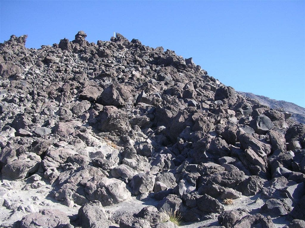
From the base of Monitor Ridge, begin a scramble over large rocks and small boulders up to the ridge itself.
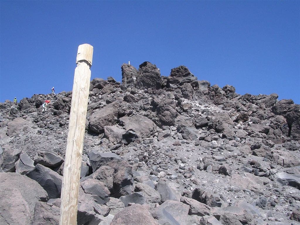
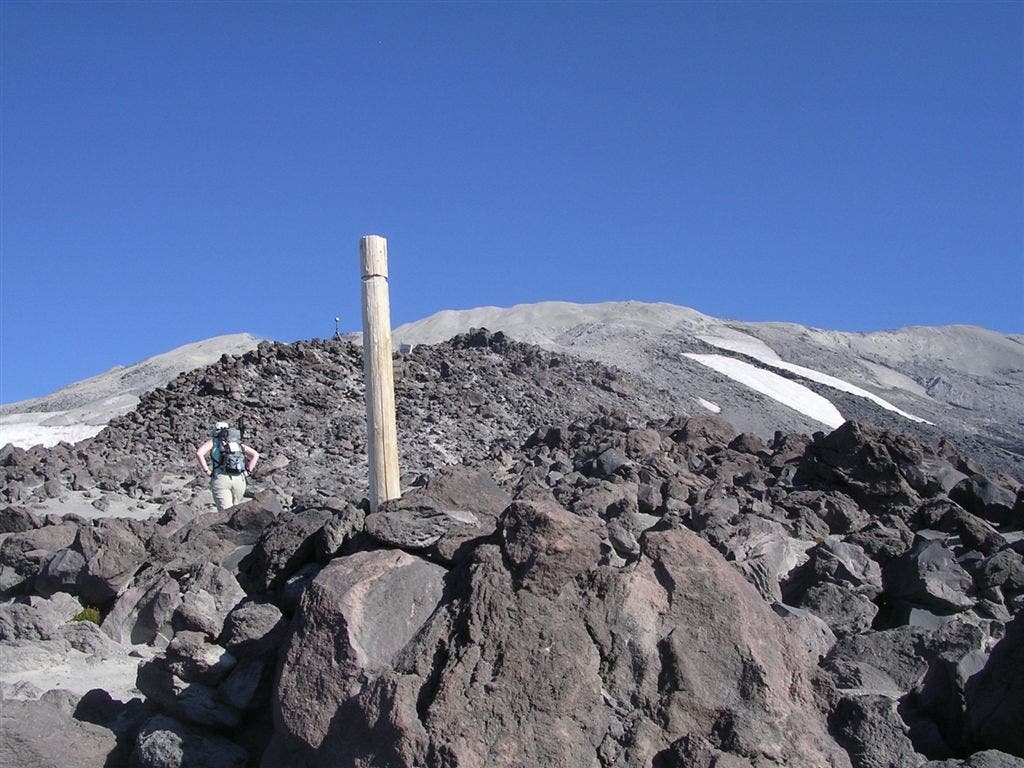
The trail will now be marked by large wooden poles. Best way is to scramble to one pole, and then look ahead for the next and traverse to that one. Repeat this process for the remainder of the hike.
MSH004
Location: 46.167606, -122.193512
Top of the Monitor Ridge.
The trail will now travel on the spine of Monitor Ridge all the way to the summit.
Take a look to your East/Right, as Mt. Adams will be looming large the rest of the way.
Also, to the South, Mt. Hood can be seen and on a clear day, Mt. Jefferson as well.
The trail will now consists of bouler/rock hopping or travel on a sandy/volcanic silt trail. This will be interchanged the rest of the way.
Sometimes, it might be easier to leave the trail behind and traverse over the rock/boulder gardens, and vice versa.
As long as you continue to travel to the next wooden pole, it really doesn’t matter which terrain you choose.
MSH005
Location: 46.168755, -122.193146
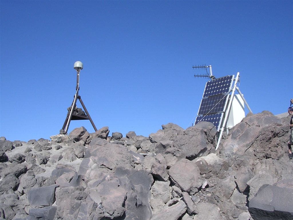
To the West/Left, notice a small pyramid like rusty contraption.
This is one of the monitors used to monitor the seismic activity on Mt. St. Helens.
Continue to travel over the rock/boulde garden and volcanic silt trail. Remember to look for the wooden post that mark the way.
MSH006
Location: 46.180027, -122.189682
A large solar-powered seismic monitor.
A nice place to take a break and soak in the surrounding views.
Also, take note of the summit ahead.
The trail will now travel over larger rocks/boulders with small flat areas in between. Take advantage of the flat areas to take a break or rest up.
The trail will become more steep and the terrain alot looser to travel over.
MSH007
Location: 46.183273, -122.189598
This is the start of the tranisistion of the trail from rock/boulders to scree.
The trail will alternate between traveling over rock/boulders and scree.
Take a look back down and marvel at how the trail traverses up Monitor Ridge spine over rocks, scree, boulders and volanic silt and fine pumice.
MSH008
Location: 46.187668, -122.188835
The final push to the summit, is one that becomes difficult.
As the trail is now completely scree. Be prepared to take 2 steps forward, while sliding 1 step back.
Althouh the summit is about 300 vertical feet away, take your time, as speed can be counter-productive in this loos scree.
MSH009
Location: 46.189957, -122.189484
The “summit”. This is the traditional stopping point for all climbers on this trail.
In actuality, the true summit is about a 200 yd rim walk to the West.
Soak in the awesome views of Mt. Rainier directly north. Notice the erie Spriti Lake below, still filled with trees from the 1980 blast, floating silently on the surface.
Directly below, take a look at the ever growing lava dome within the crater.
Mt. Adams from the summit
Location: 46.189925, -122.189019
Mt. Rainier from the summit
Location: 46.189932, -122.189373
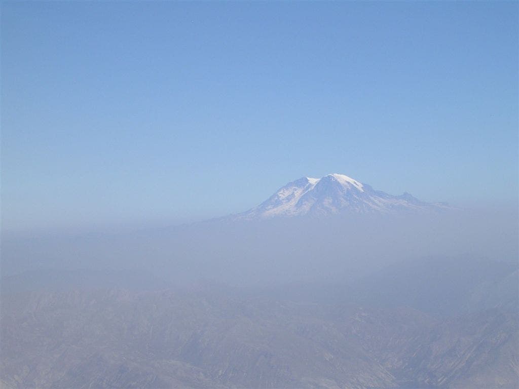
Mt. Hood
Location: 46.165447, -122.190564
Peaking over the morning haze
Initial climb on the spine of Monitor Ridge
Location: 46.166881, -122.192516
Summit can be seen in the distance.
Small rock/boulder garden
Location: 46.171302, -122.193203
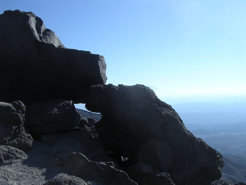
Unique rock formation on Monitor Ridge
Location: 46.173947, -122.191358
Rock/Boulder gardens and wooden post marking the path
Location: 46.177394, -122.18977
Solar powered monitor
Location: 46.180662, -122.189727
Wooden Post marking the path on the rock/boulder gardens
Location: 46.183248, -122.189384
Summit can be seen ahead.
View from the summit, looking south on the final scree slope
Location: 46.189932, -122.189201