Mount Rainier National Park: Northern Loop Trail via Sunrise Park

Day 1
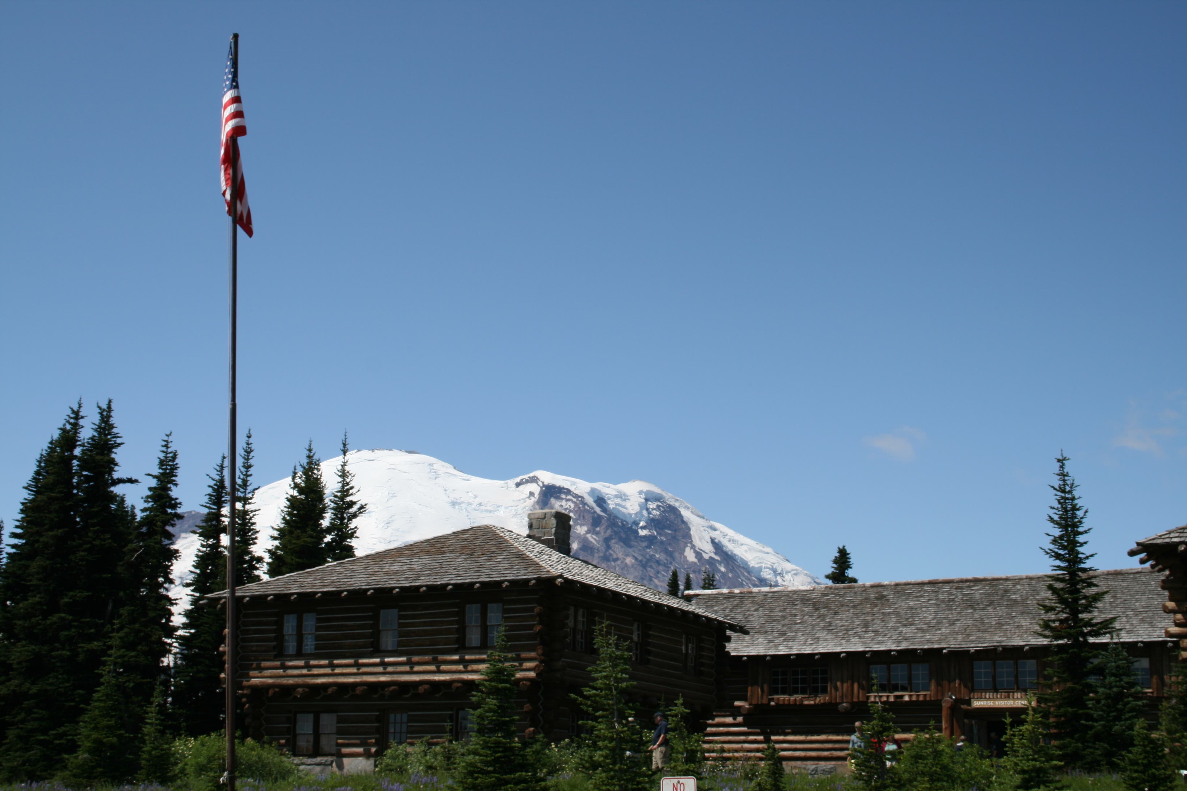
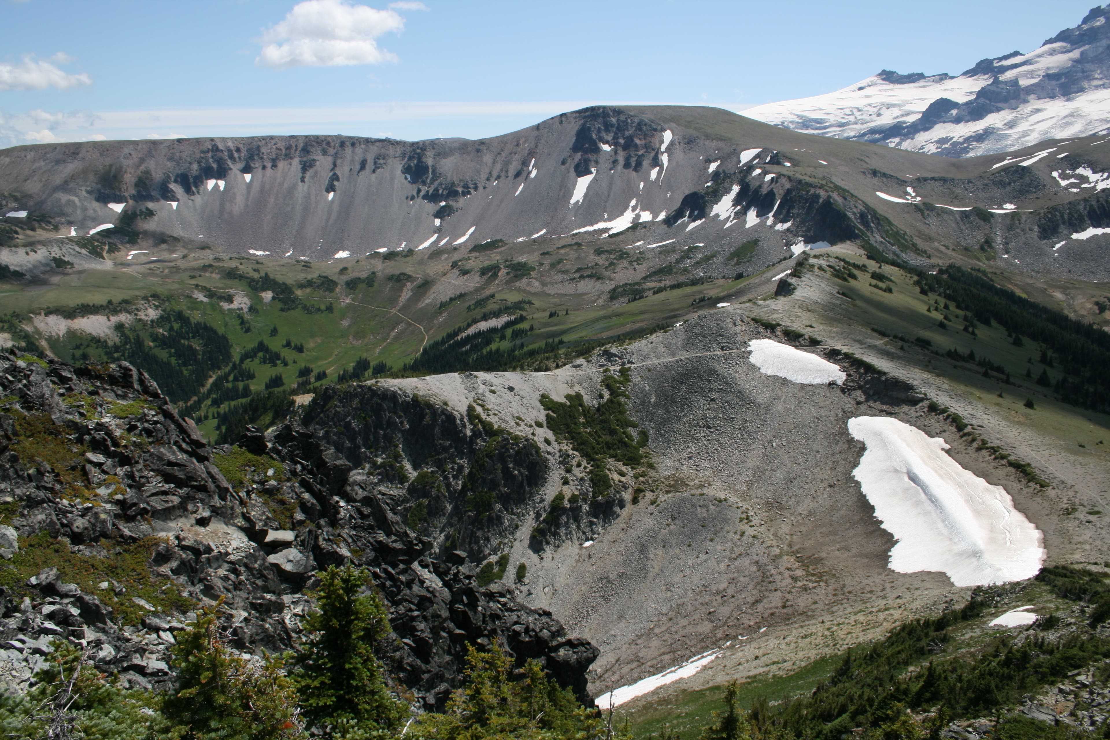
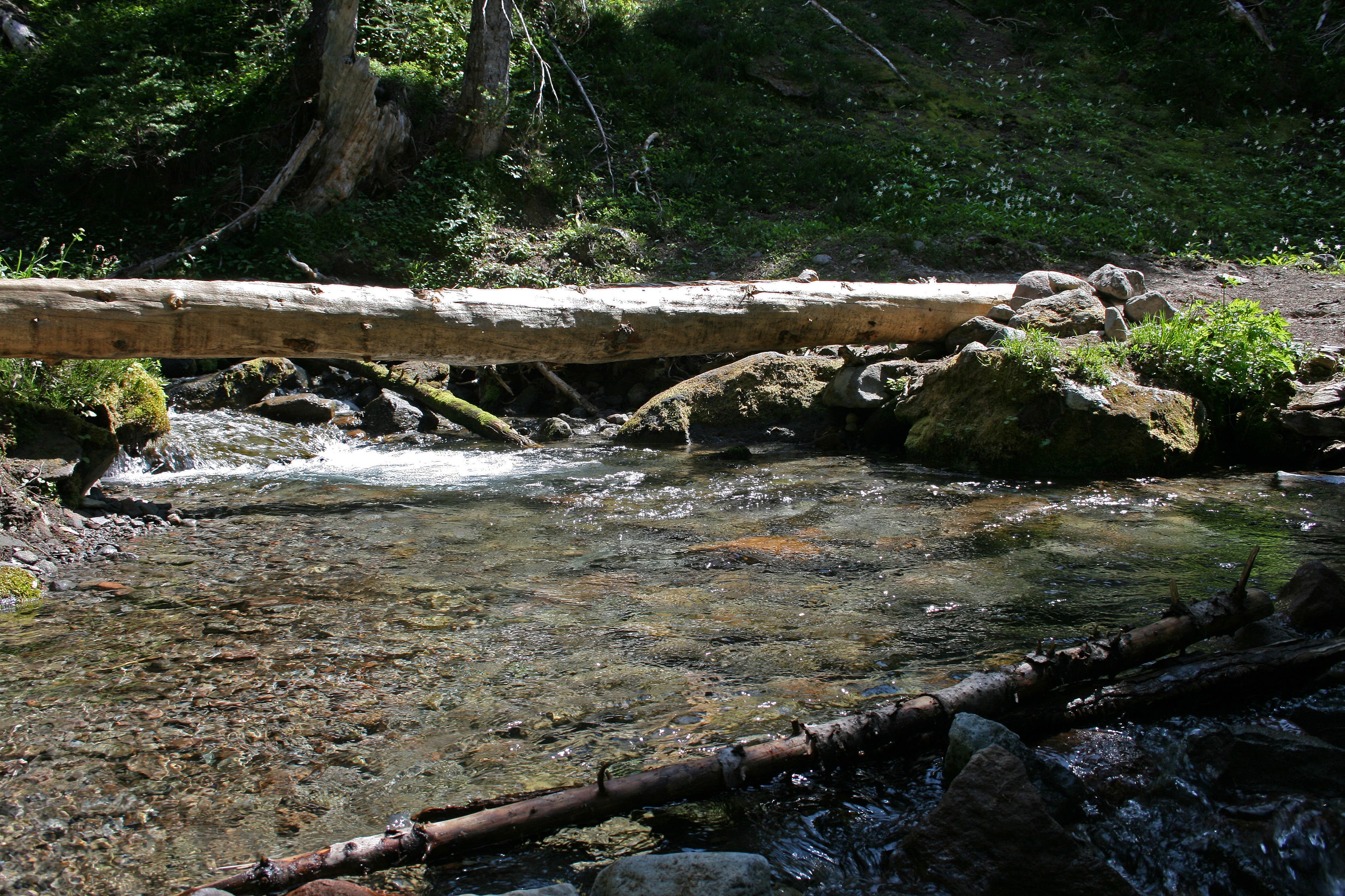
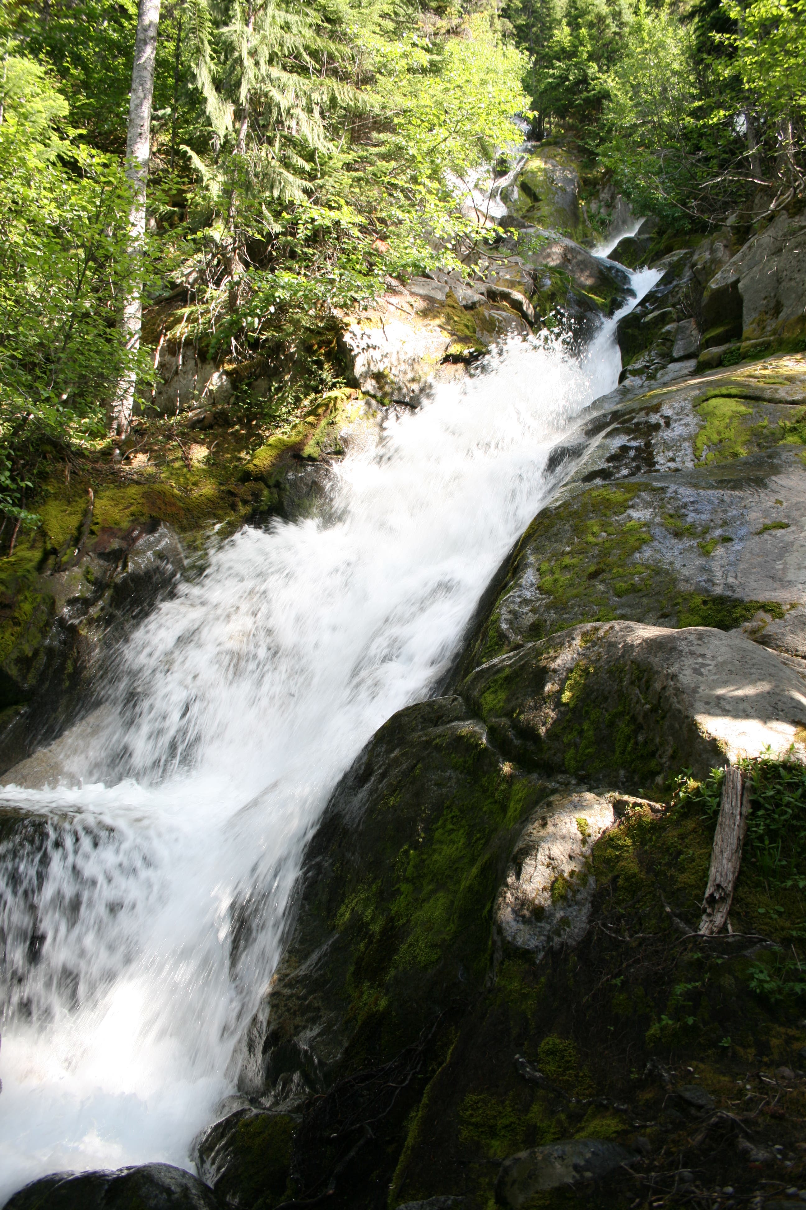
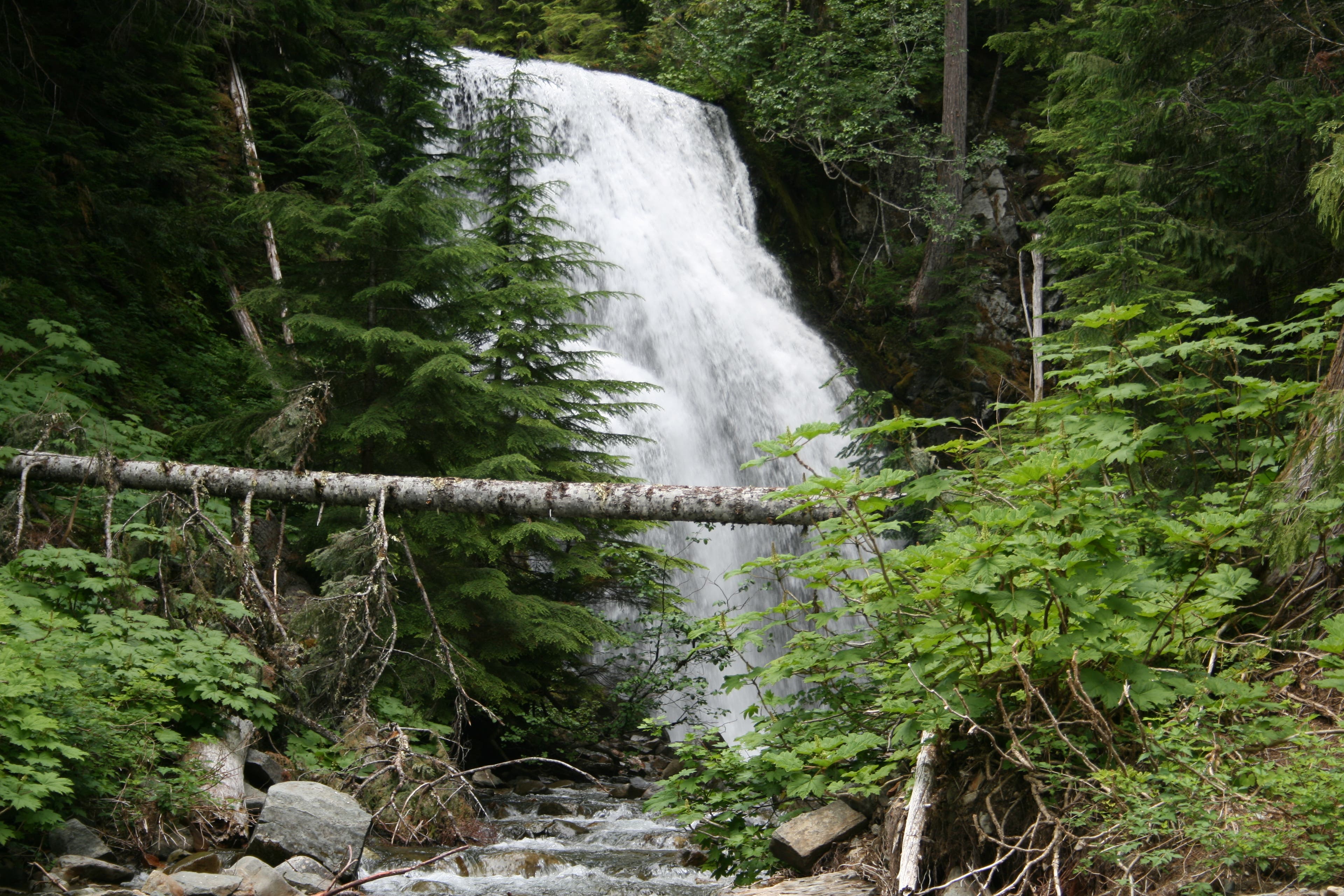
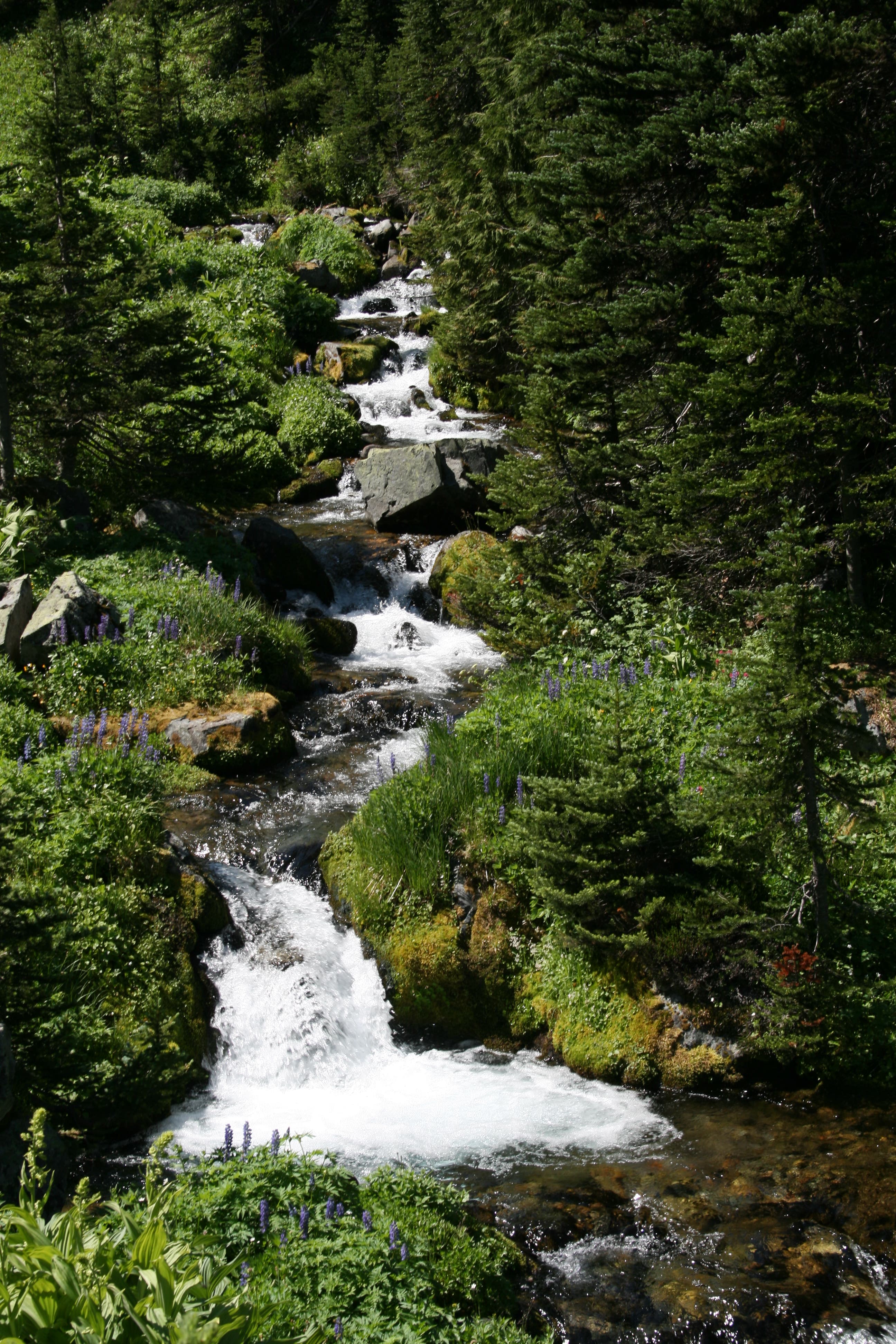
Peer through a telescope outside the log fort-like Sunrise Visitor Center for magnified views of climbers on Emmons Glacier, then head north toward Sourdough Ridge Trail. Less than a mile in, turn left onto the Sourdough Mountains’ ridgetop. At the 4-way junction just past Frozen Lake, drop into Berkeley Park, a fir-dotted meadow perched in the cirque formed by the 7,078-foot Skyscraper Peak, Burroughs Mountain, and Mt. Fremont. Prepare for sensory overload: Lodi Creek gushes over boulders, the sweet scent of lupine permeates the air, and vibrantly red Indian paintbrush accentuate the landscape. At mile 2.3, turn left at the fork onto the Wonderland Trail and start a clockwise, 29.3-mile loop. At mile 3.6, crest Skyscraper Pass—at 6,700 feet, it’s one of the Northern Loop’s high points. Just past mile seven, cross a log bridge at the base of Garda Falls, which slaloms through a mossy, boulder-filled chute. In .1 mile, cross another log bridge over the raging Winthrop Creek. Listen for the muffled, rumbling sounds of boulders moving beneath the water’s surface. Nearly nine miles in, follow rock cairns and ribbons to find the best route across the West Fork White River. In .2 mile, cross a bridge over a second crossing of the West Fork White River, then begin a short, half-mile climb to Mystic Lake Camp. At mile 9.4, take your pick of seven campsites at Mystic Lake Camp. Eat your breakfast overlooking Mystic Lake’s glassy waters.
Day 2
After wrapping around Old Desolate’s sparse, scree-covered slopes, the trail winds northwest, threading between Moraine Park and the Carbon Glacier. Pass Dick Creek Camp, then cross its namesake creek. Near mile 14, continue straight at the 3-way junction, passing the Carbon River suspension bridge. Follow signs for Windy Gap. Less than a mile later, stay right at the trail fork for a zigzagging climb to Windy Gap. In 2.4 miles, the lichen-covered Yellowstone Cliffs fill up the skyline. Beargrass, purple lupine, orange Columbia lilies, Indian paintbrush blanket the subalpine meadows at the base of the cliffs. After hiking east across Windy Gap, turn left at a 3-way junction for an out-and-back to Natural Bridge, which rises 200 feet and spans 150 feet. Stop near mile 22 at spend the night at Lake James Camp.
Day 3
Tackle a quad-jarring, 1,220-foot descent from Lake James, then maneuver across the West Fork White River on fallen trees (the river wiped out existing bridges). At mile 26.8, the trail reaches an open knoll with big-screen views of the White River Valley, Mt. Rainier, and Natural Bridge. Less than half a mile later, continue straight (south) at the 3-way junction on the southern outskirts of Grand Park. Near mile 30, the trail climbs up Berkeley Park. Finish the loop 1.1 miles later, then stay left to return to the trailhead.
INFO For information on permits, current trail and camp conditions, and wilderness guidelines, go to nps.gov/mora/planyourvisit/wilderness-camping-and-hiking.htm.
PERMIT A wilderness permit is required for all overnight camping in the backcountry. Reservations requests accepted by fax or mail, starting on March 15th of each year ($20/reservation). Download form at nps.gov/mora/planyourvisit/wilderness-reservation-information.htm.
RIVER CROSSINGS Bridge washouts are common along this route. Check with a ranger before heading out on the trail to get up-to-date information on water levels and trail conditions.
CONTACT Mt. Rainier National Park, (360) 569-2211; nps.gov/mora
-Mapped by David Tate
TO TRAILHEAD: From Ashford, drive east on State Route 706. In roughly 7 miles, turn right onto Paradise Rd. E. In 14.2 miles, turn right onto Stevens Canyon Rd. In 19 miles, turn left onto WA 123 N. In 10.9 miles, left onto WA 410 W. In 3.5 miles, turn left onto Sunrise Park Rd./White River Rd. Go 15.4 miles to parking at the Sunrise Visitor Center.
Trail Facts
- Distance: 53.4
Waypoints
NLT001
Location: 46.91473, -121.64241
Peer through a telescope outside the log fort-like Sunrise Visitor Center for magnified views of climbers on Emmons Glacier, then head north toward Sourdough Ridge Trail.
NLT002
Location: 46.91714, -121.643728
Bear left at the 3-way junction toward the Sourdough Ridge Trail.
NLT003
Location: 46.918498, -121.646754
Turn left on Sourdough Ridge Trail, heading west toward Frozen Lake.
NLT004
Location: 46.919111, -121.655171
Stop at the vantage point for views of 6,786-foot McNeeley Peak to the north-northeast and Huckleberry Basin below.
NLT005
Location: 46.918298, -121.666447
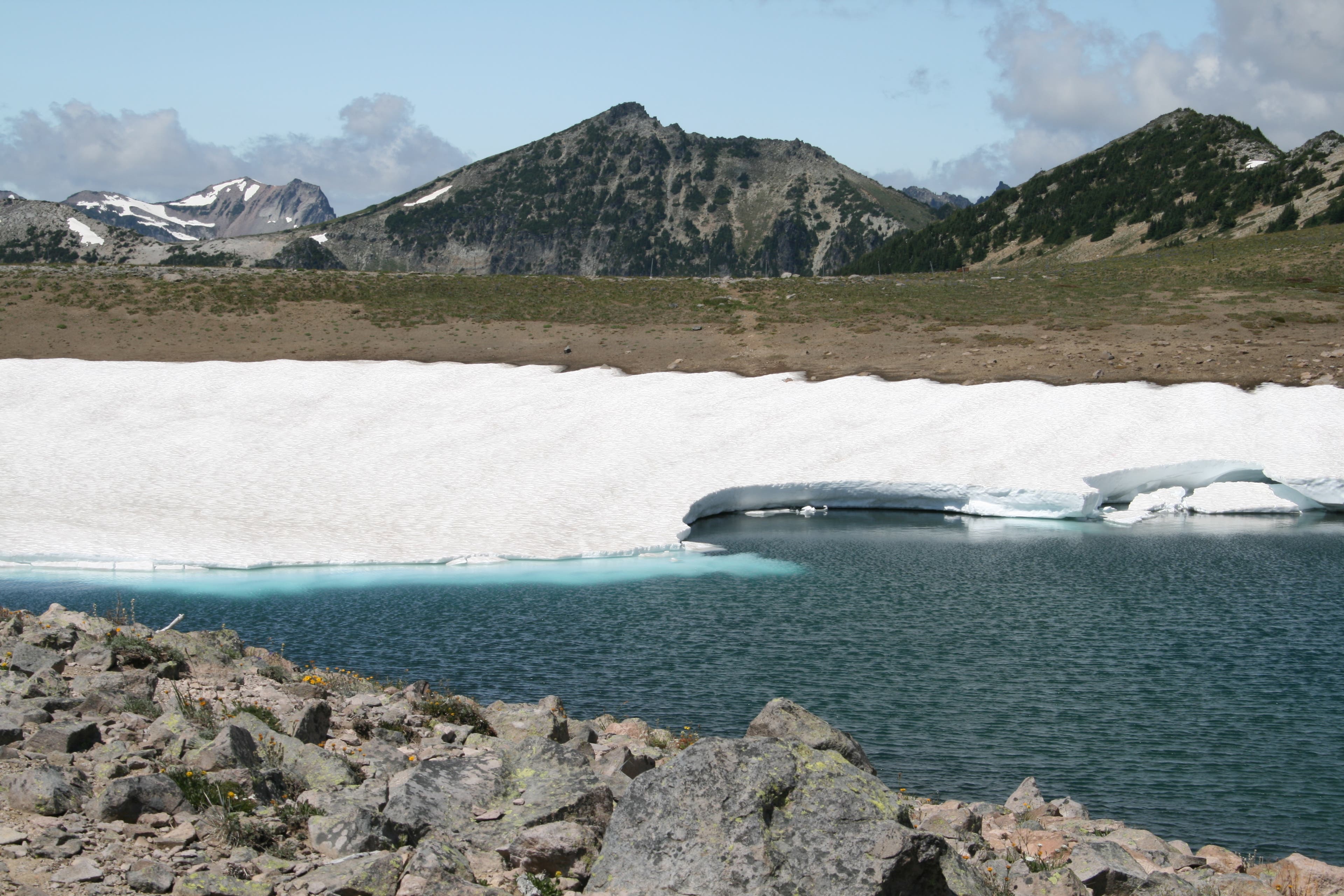
Frozen Lake: This lake is used as the drinking water supply for Sunrise.
NLT006
Location: 46.917574, -121.668487
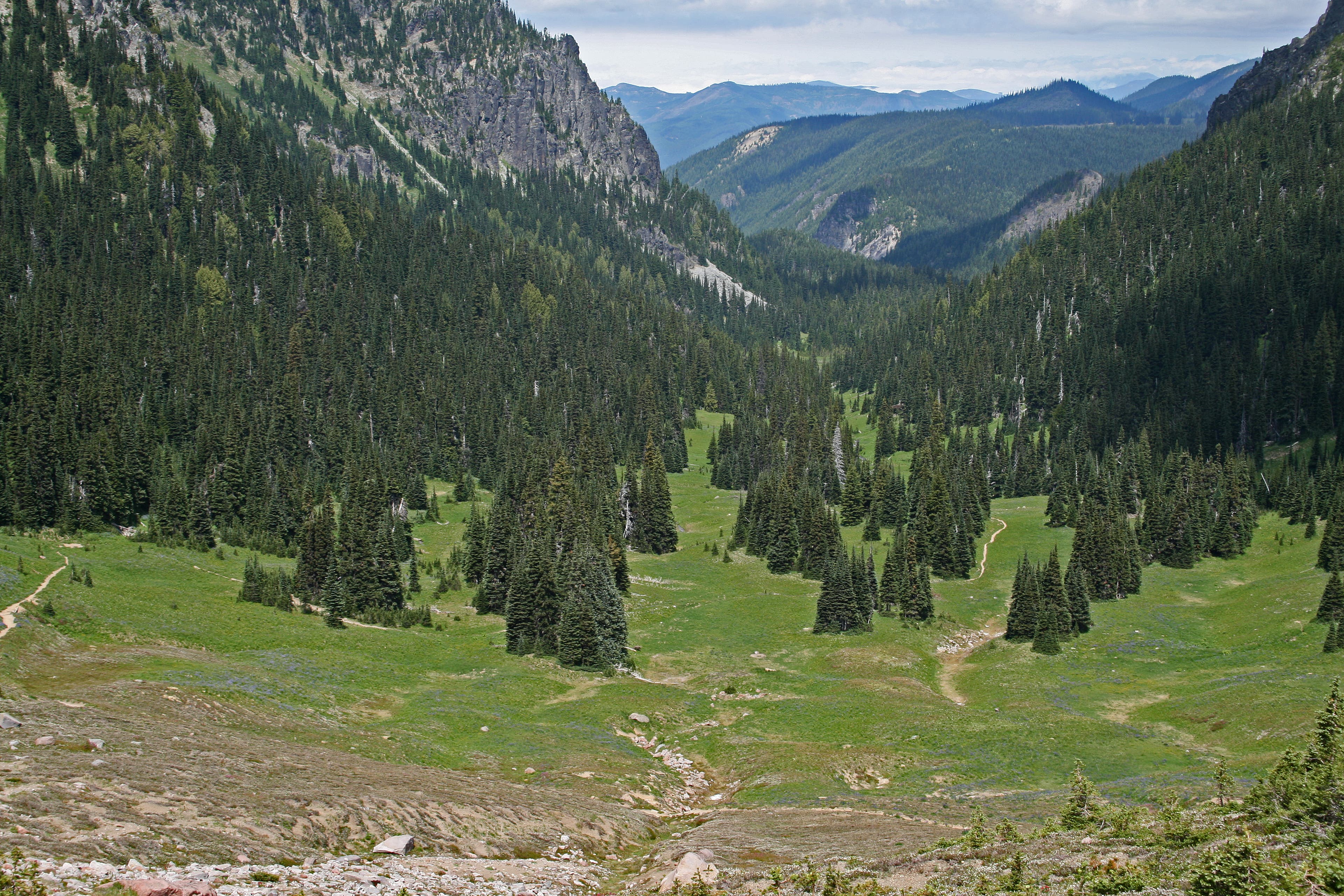
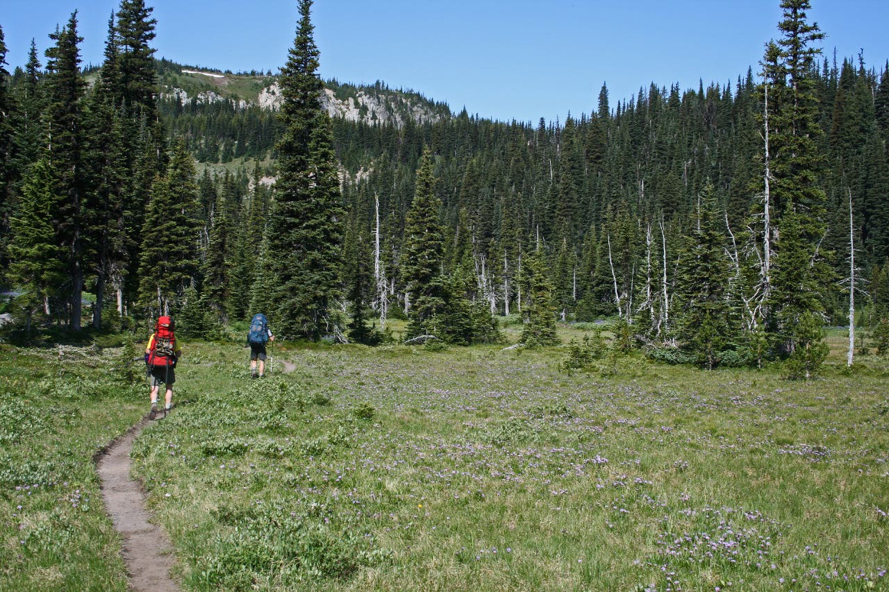
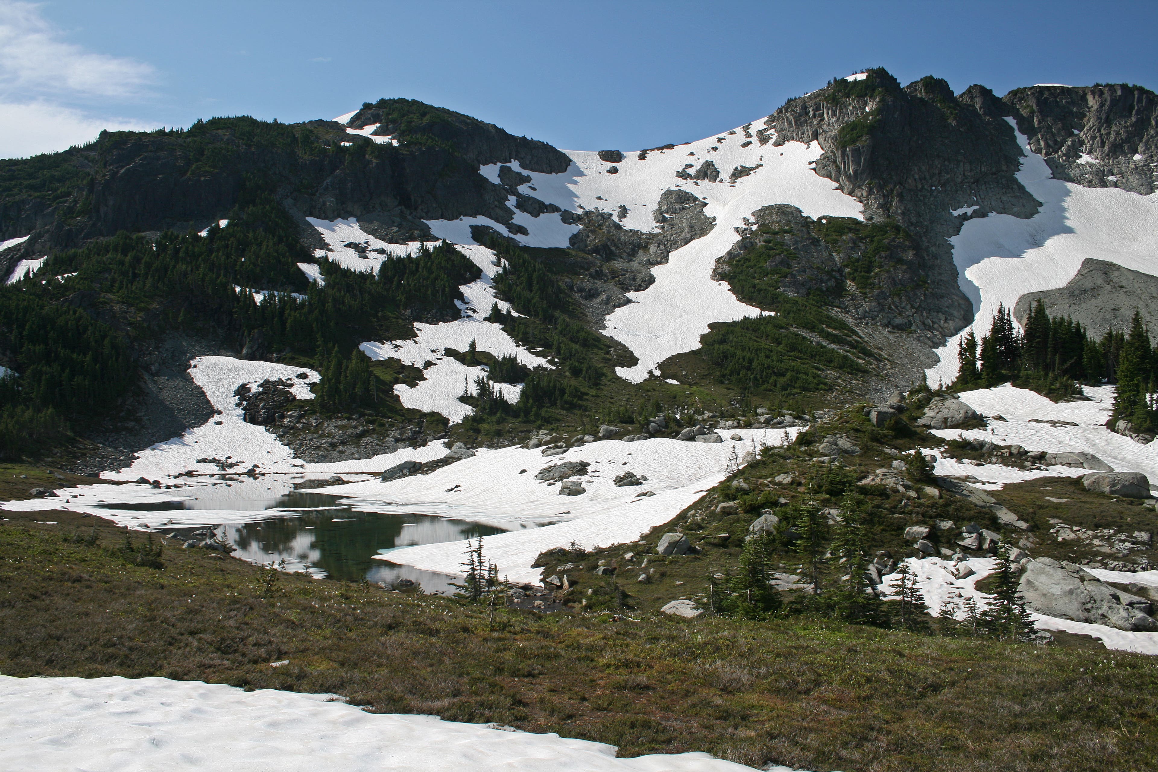
At the 4-way junction just past Frozen Lake, drop into Berkeley Park, a fir-dotted meadow perched in the cirque formed by the 7,078-foot Skyscraper Peak, Burroughs Mountain, and Mt. Fremont. Prepare for sensory overload: Lodi Creek gushes over boulders, the sweet scent of lupine permeates the air, and vibrantly red Indian paintbrush accentuate the landscape.
NLT007
Location: 46.917111, -121.680186
Stay left at the Y-junction in Berkeley Park to start a 29.3-mile clockwise loop. Continue to follow signage to Mystic Lake.
NLT008
Location: 46.922642, -121.697508
Crest Skyscraper Pass. At 6,700 feet, it’s one of the Northern Loop’s high points. Turn right at the 3-way junction for a .4-mile (one-way) side trip up Skyscraper Mountain’s sloped rampart, the perfect vantage for peering into the northern reaches of the park.
NLT009
Location: 46.927096, -121.69828
After a quick scramble to the top of Skyscraper Mountain, look northeast to see Grand Park’s broad, flat plateau rising between the foothills. Follow the White River north for distant views of the North Cascades. Next, backtrack to NLT008 and turn right; drop down the Granite Creek drainage to Garda Falls.
NLT010
Location: 46.920258, -121.707915
Granite Creek Camp: This camp is located next to the crossing of its namesake creek.
NLT011
Location: 46.92307, -121.726735
Cross a log bridge at the base of Garda Falls, which slaloms through a mossy, boulder-filled chute. In .1 mile, cross another log bridge over the raging Winthrop Creek. Listen for the muffled, rumbling sounds of boulders moving beneath the water’s surface.
NLT012
Location: 46.924056, -121.72641
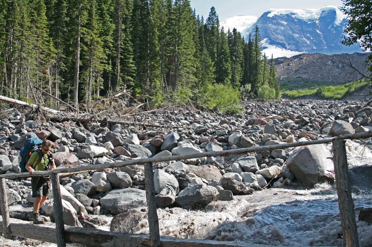
Cross powerful Winthrop Creek on a log bridge with a railing. Listen for the sound of boulders tumbling beneath the surface.
NLT013
Location: 46.915095, -121.743748
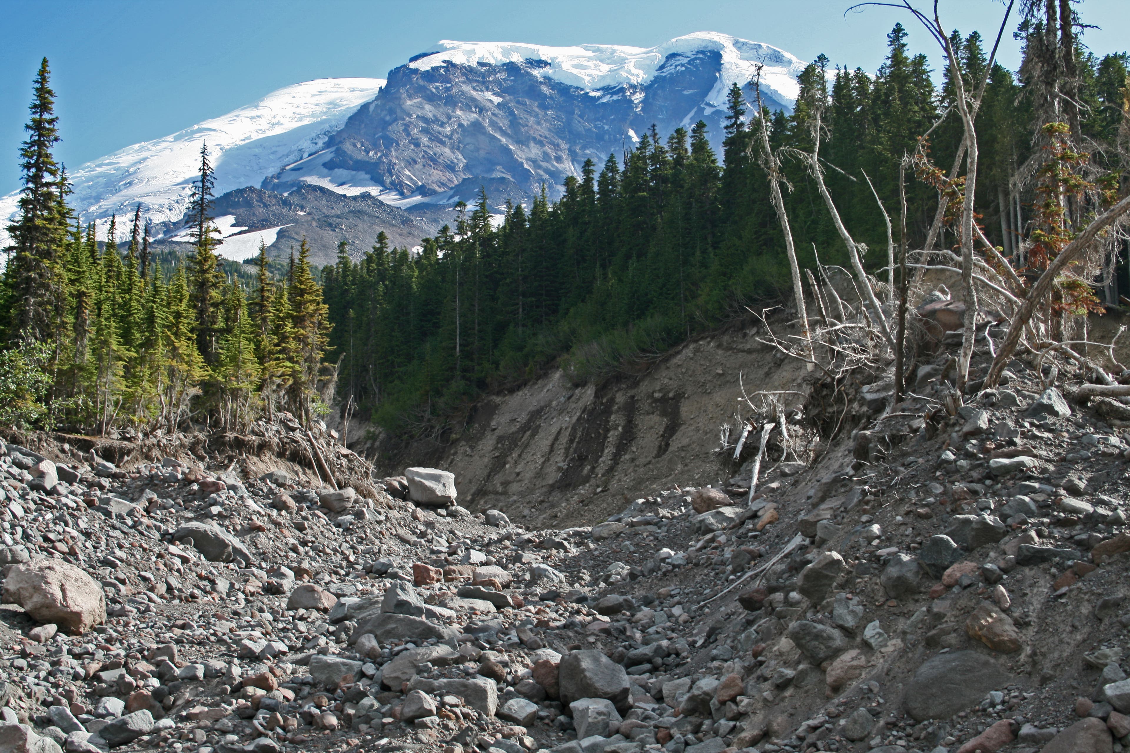
West Fork White River crossing: The old crossing was wiped away with recent floods. Follow rock cairns and ribbons for the best way across.
NLT014
Location: 46.913248, -121.746759
Cross a bridge over the next crossing of the West Fork White River. On the other side, it’s a short uphill to Mystic Lake Camp.
NLT015
Location: 46.915447, -121.750345
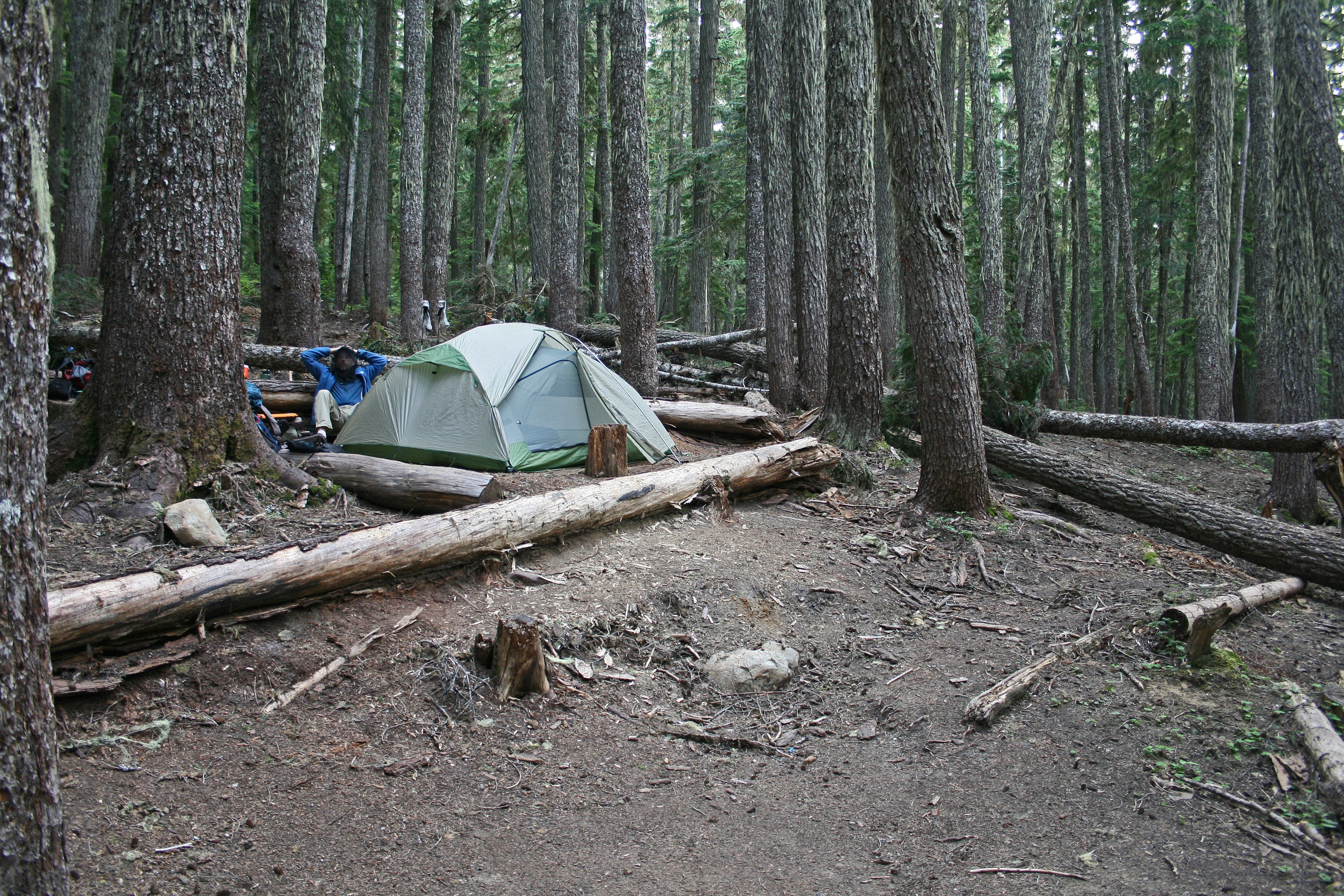
Mystic Lake Camp: There are 7 campsites here (mile 9.4) with good water access and bear poles to hang your food.
NLT016
Location: 46.913805, -121.752472
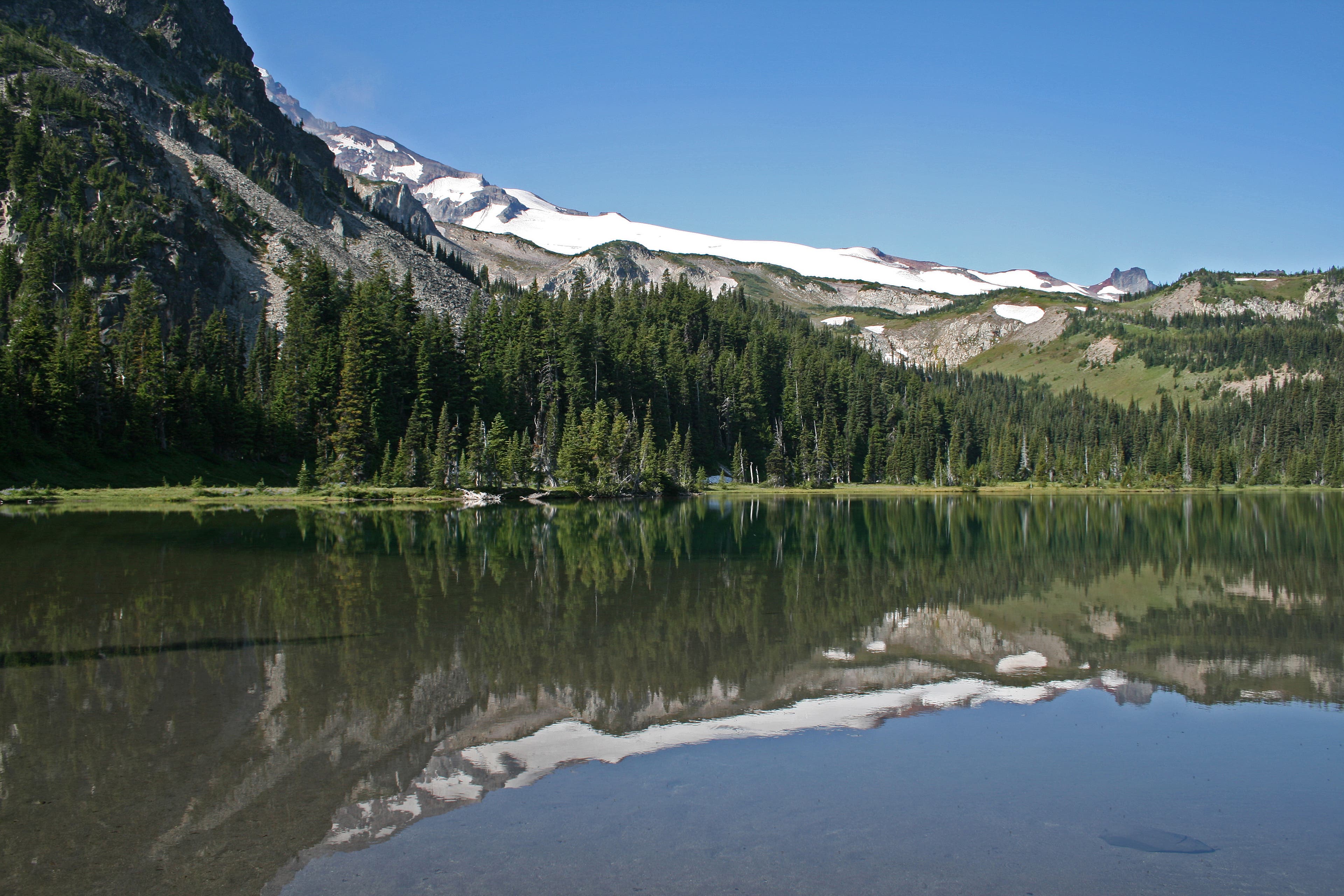
Mystic Lake: In the mornings, it’s usually calm and mirror-like.
NLT017
Location: 46.920666, -121.766983
After wrapping around Old Desolate’s sparse, scree-covered slopes, the trail winds northwest, threading between Moraine Park and the Carbon Glacier. Look for families of marmots ahead.
NLT018
Location: 46.936102, -121.777218
At the northern edge of Moraine Park, begin the descent to Dick Creek Camp; it’s relatively steep.
NLT019
Location: 46.940443, -121.784346
Pass Dick Creek Camp, then cross its namesake creek.
NLT020
Location: 46.949679, -121.794821
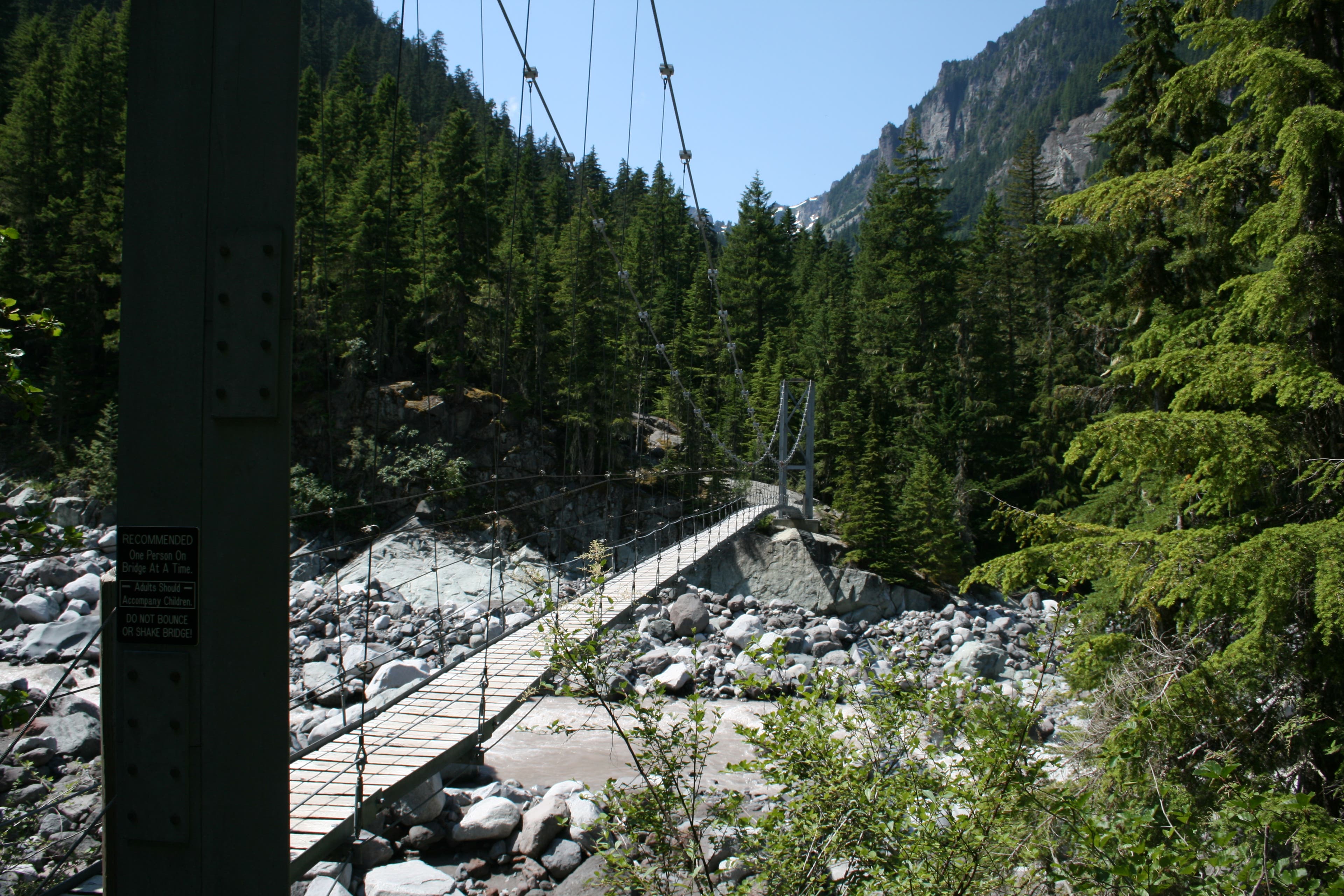
Continue straight at the 3-way junction, passing the Carbon River suspension bridge. Follow signs for Windy Gap.
NLT021
Location: 46.960342, -121.792202
Cross Spukwush Creek.
NLT022
Location: 46.963111, -121.793665
Stay right at the trail fork for a zigzagging climb to Windy Gap.
NLT023
Location: 46.95966, -121.767862
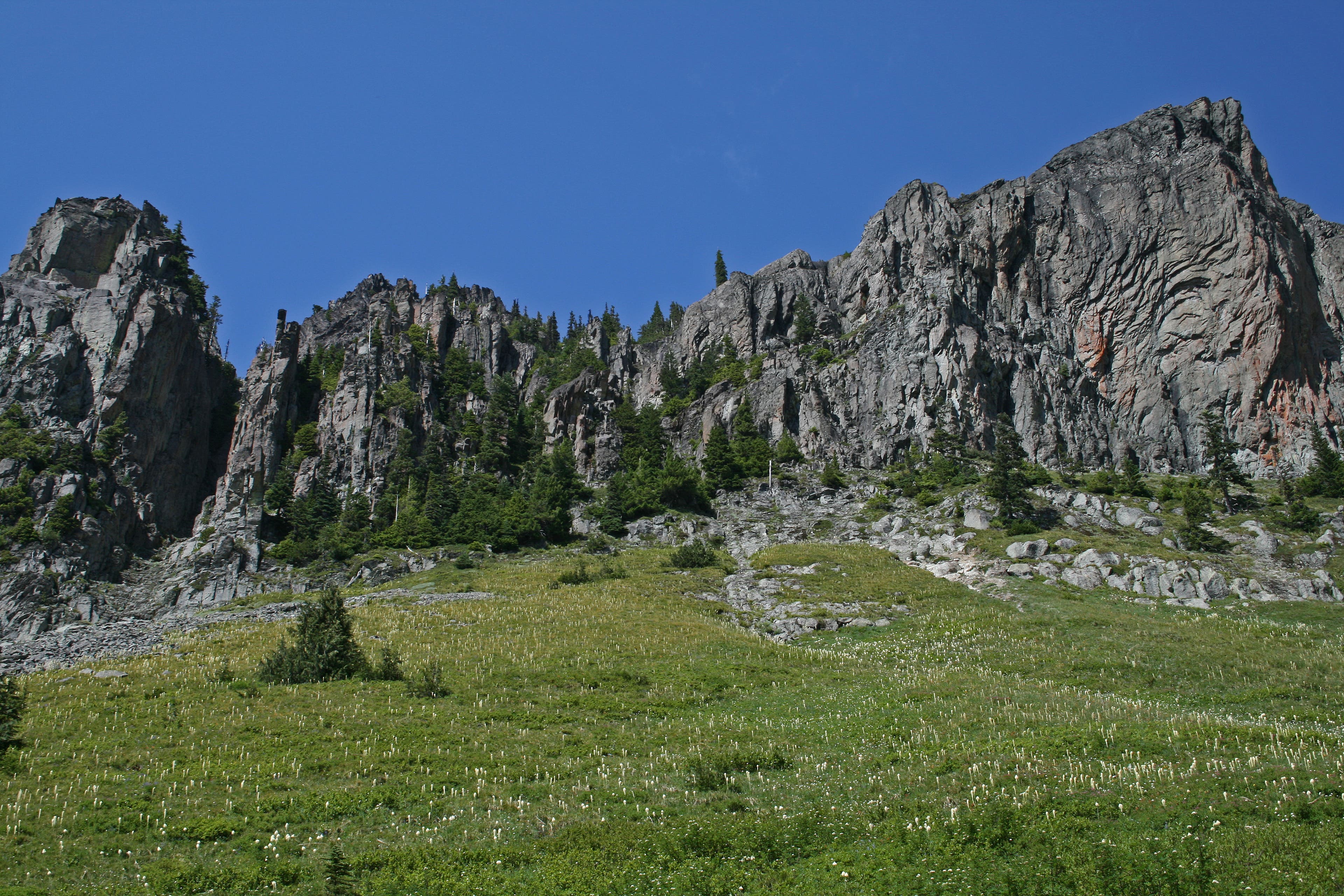
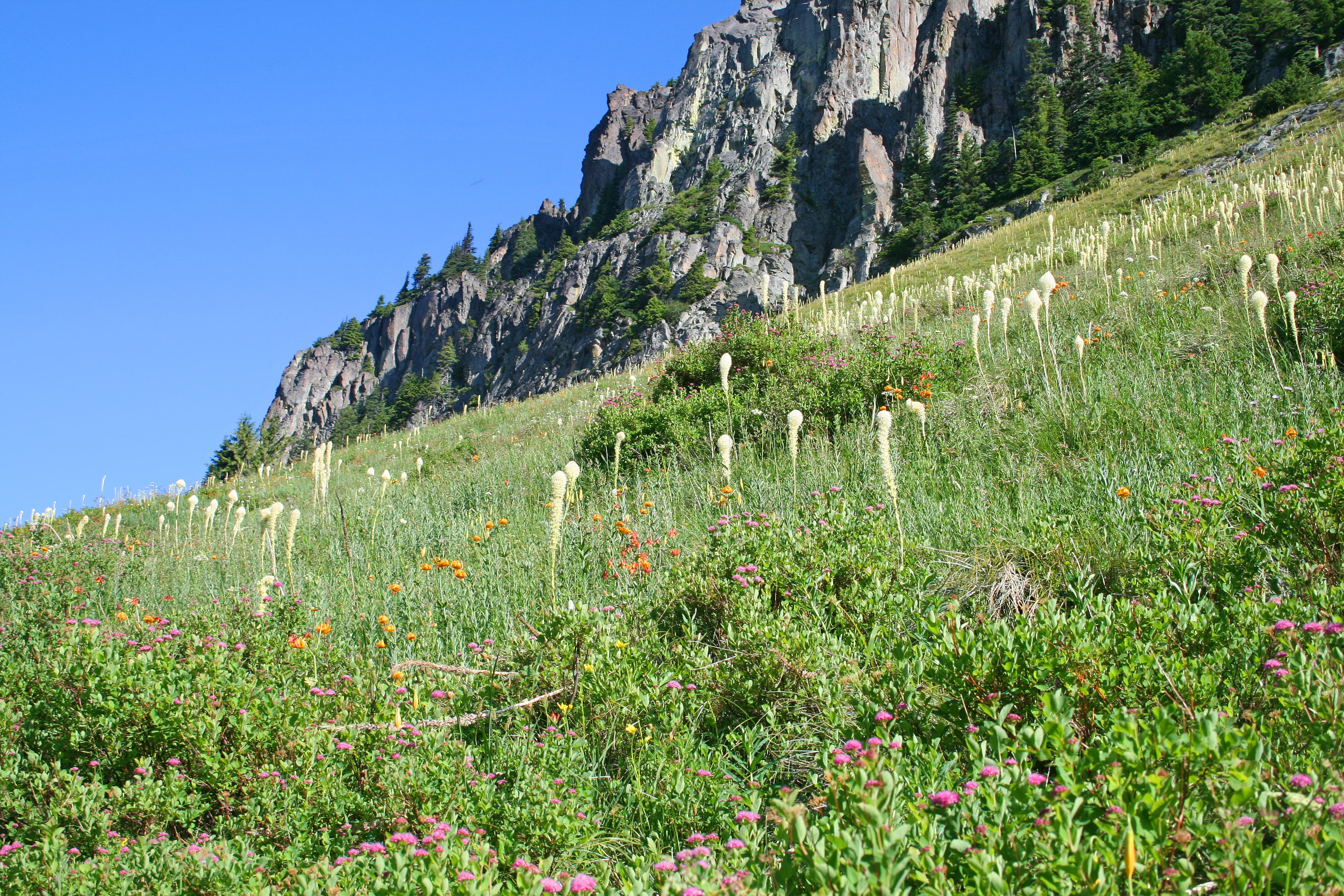
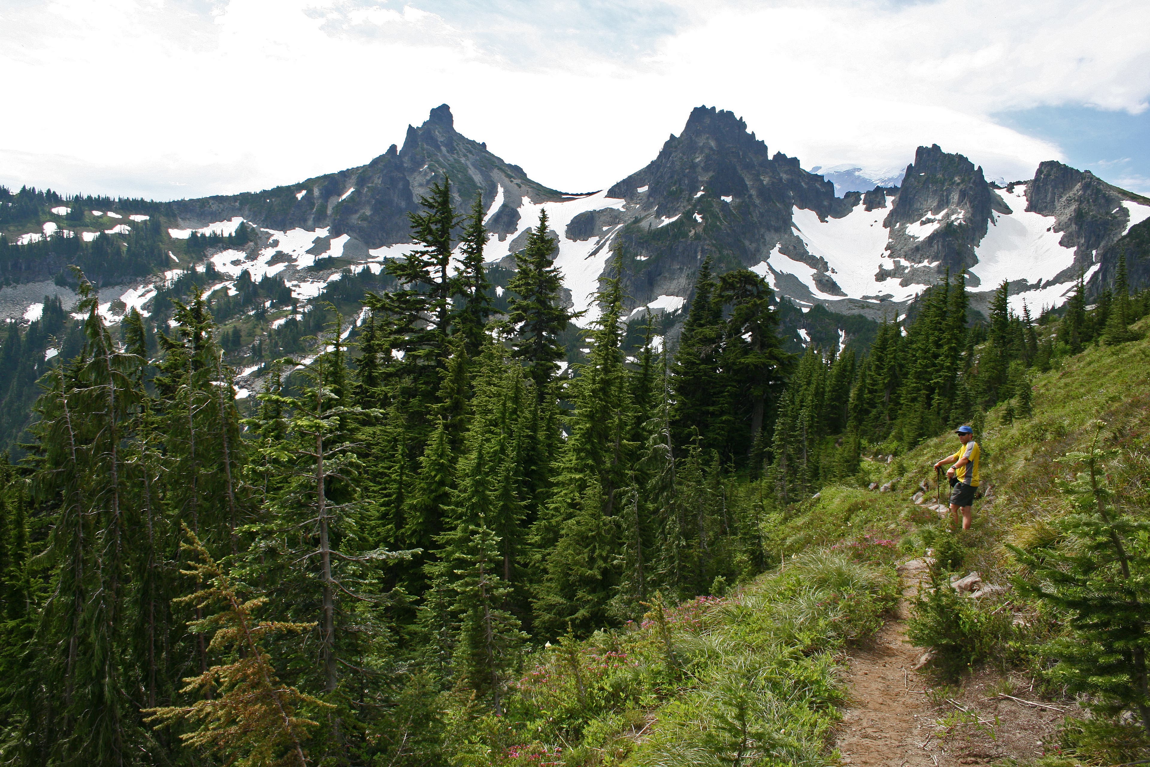
The lichen-covered Yellowstone Cliffs fill up the skyline. Beargrass, purple lupine, orange tiger lilies, and Indian paintbrush speckle the subalpine meadows at the base of the cliffs. Yellowstone Cliff Camp: Turn off the trail to your right, and go about 200 yards, crossing two small streams, to Yellowstone Cliffs Camp. There are only 2 campsites here, and they are fairly small.
NLT024
Location: 46.956495, -121.754857
Hike east across Windy Gap. Unmarked side trails lead right toward Crescent Lake.
NLT025
Location: 46.955881, -121.749118
Turn left at this 3-way junction for a side trip to Natural Bridge, which overlooks James and Ethel Lakes.
NLT026
Location: 46.962584, -121.74378
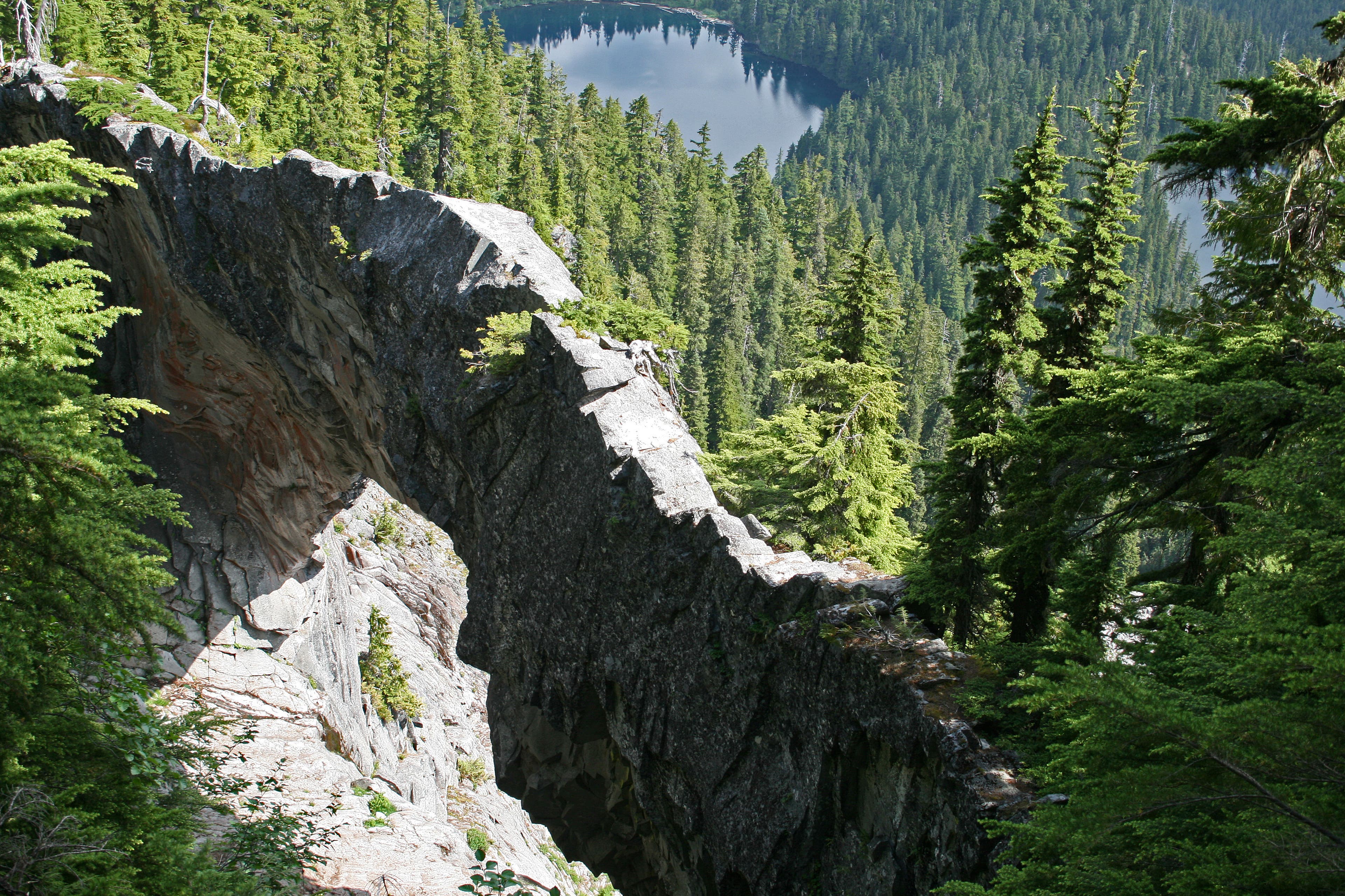
Natural Bridge: This rock arch rises roughly 200 feet and spans 150 feet.
NLT027
Location: 46.961337, -121.732715
Stay left at the 3-way junction. The trail on the right leads to Lake James Patrol Cabin.
NLT028
Location: 46.964351, -121.733365
Take a left here to visit Lake James.
NLT029
Location: 46.964826, -121.734158
Lake James: This little lake sits below the Natural Bridge. Backtrack to NLT028 and turn left.
NLT030
Location: 46.965372, -121.732252
Lake James Camp: Take a left here to reach campsites.
NLT031
Location: 46.973173, -121.719985
After a quad-jarring, 1,220-foot descent from Lake James, maneuver across the West Fork White River on fallen trees (the river wiped out existing bridges); you can hear the pounding of boulders as they tumble downstream. Van Horn Falls is also visible from this spot.
NLT032
Location: 46.966407, -121.697011
Continue straight at the 3-way junction. Campsite: Turn left, and go another .4 mile downhill to reach Fire Creek Camp.
NLT033
Location: 46.968385, -121.693637
Fire Creek Camp: This seldom-used camp has four tent sites and is close to water. There are lots of downed trees in the camp area.
NLT034
Location: 46.961883, -121.693091
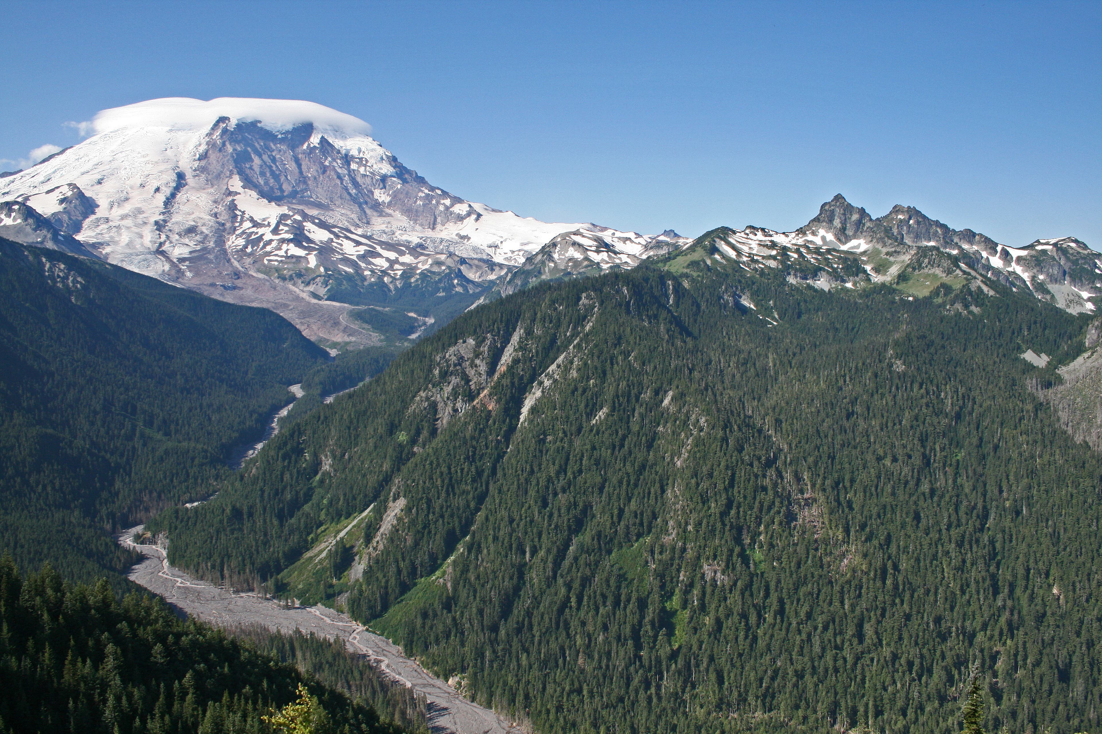
After clearing the trees, the trail reaches an open knoll with breathtaking views of the White River Valley below, as well as Mt. Rainier and Natural Bridge.
NLT035
Location: 46.95825, -121.687328
Continue straight at the 3-way junction. The trail on the left leads across Grand Park to Lake Eleanor.
NLT036
Location: 46.947098, -121.686974
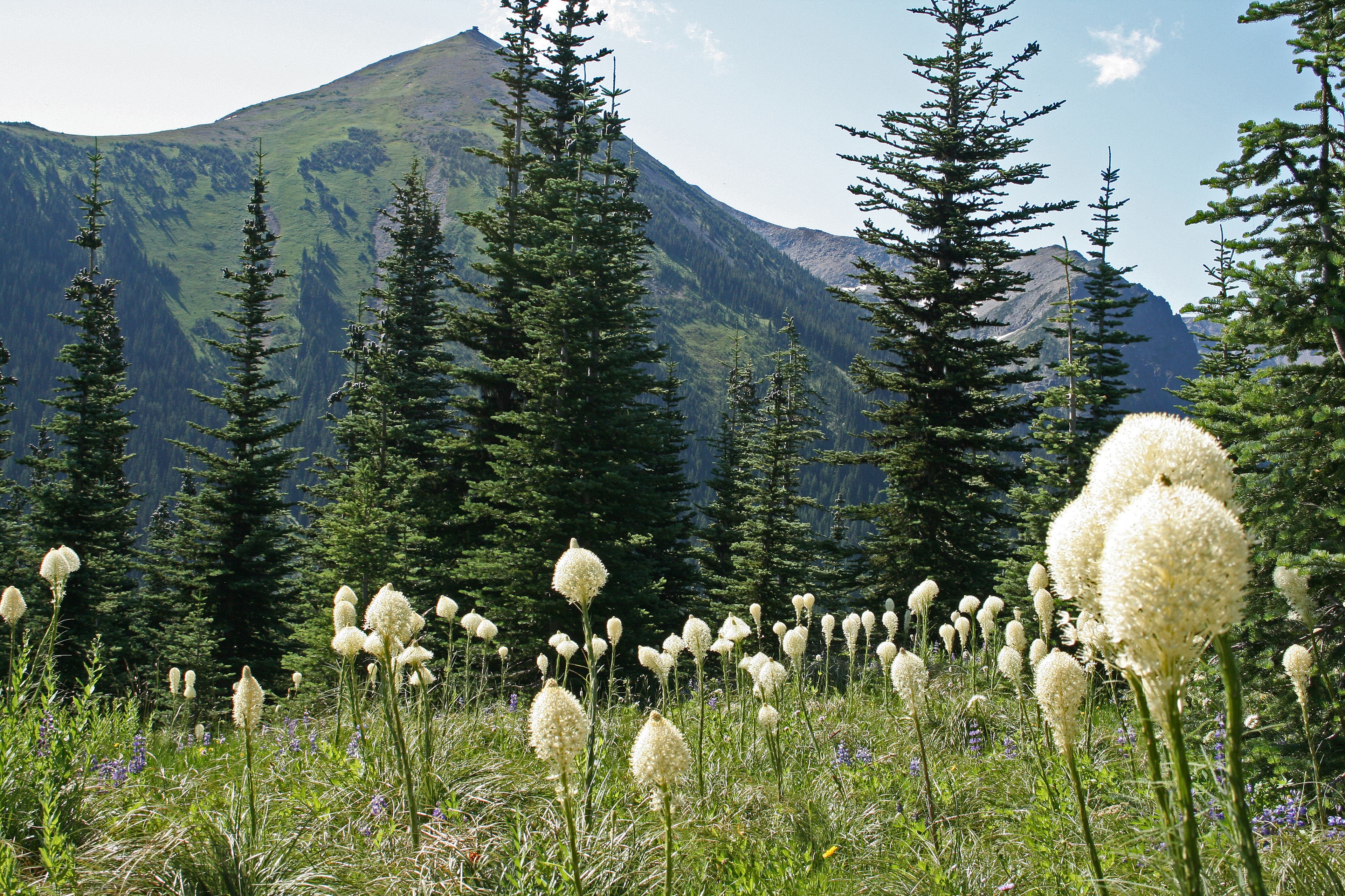
Hike through fields of beargrass on the east-facing slopes.
NLT037
Location: 46.929444, -121.686912
Berkeley Park Camp
NLT038
Location: 46.924505, -121.687692
The trail winds through Berkeley Park, tucked below Burroughs Mountain. In 1.1 miles, the trail reconnects with NLT007; stay right to return to the trailhead.
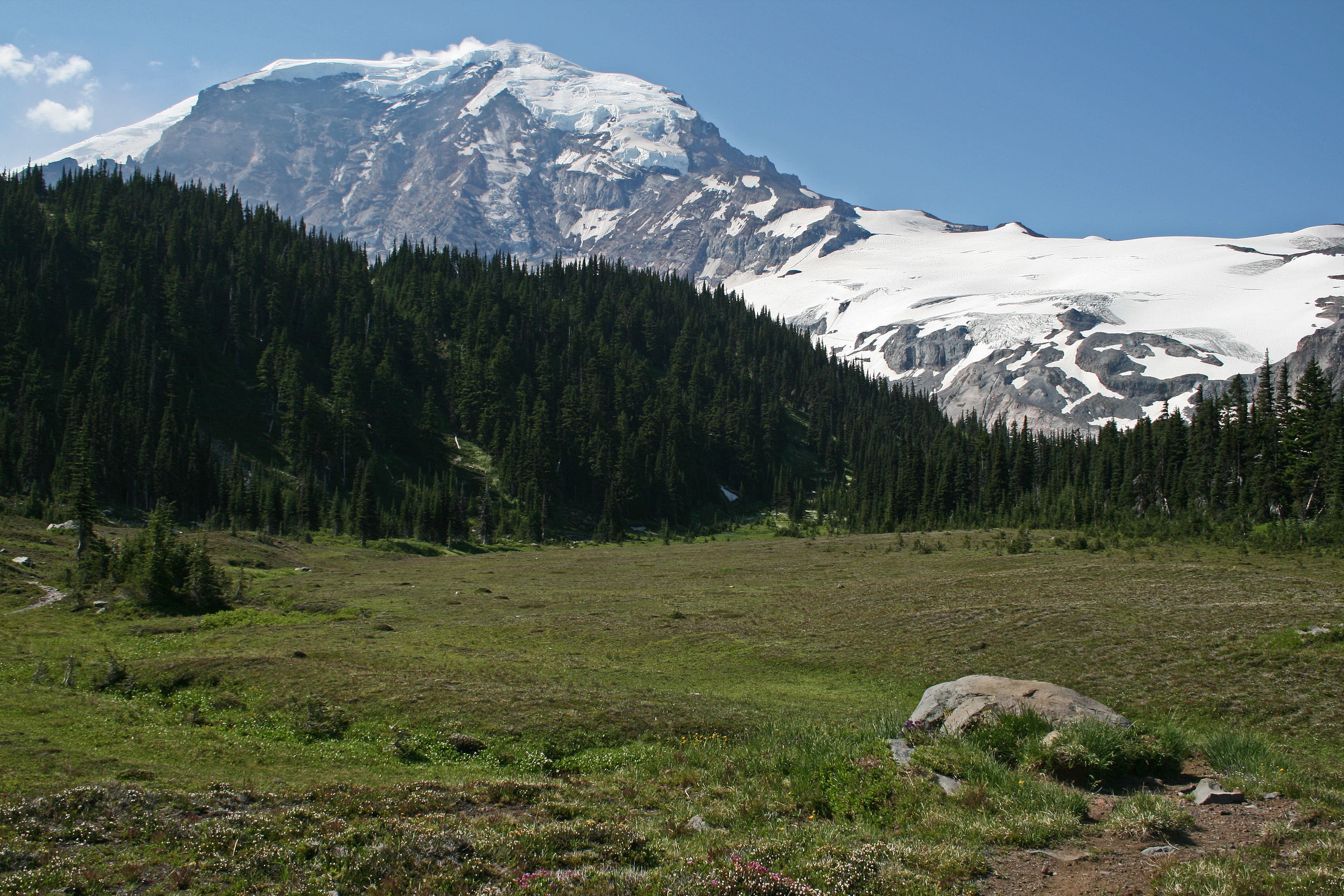
Mt. Rainier
Location: 46.916533, -121.764135
Look back for views of Mt. Rainier and the meadows that you just traversed.
Ranger Station at Sunrise Park
Location: 46.914462, -121.643271
Mt. Rainier from Sunrise Meadows
Location: 46.917562, -121.645176
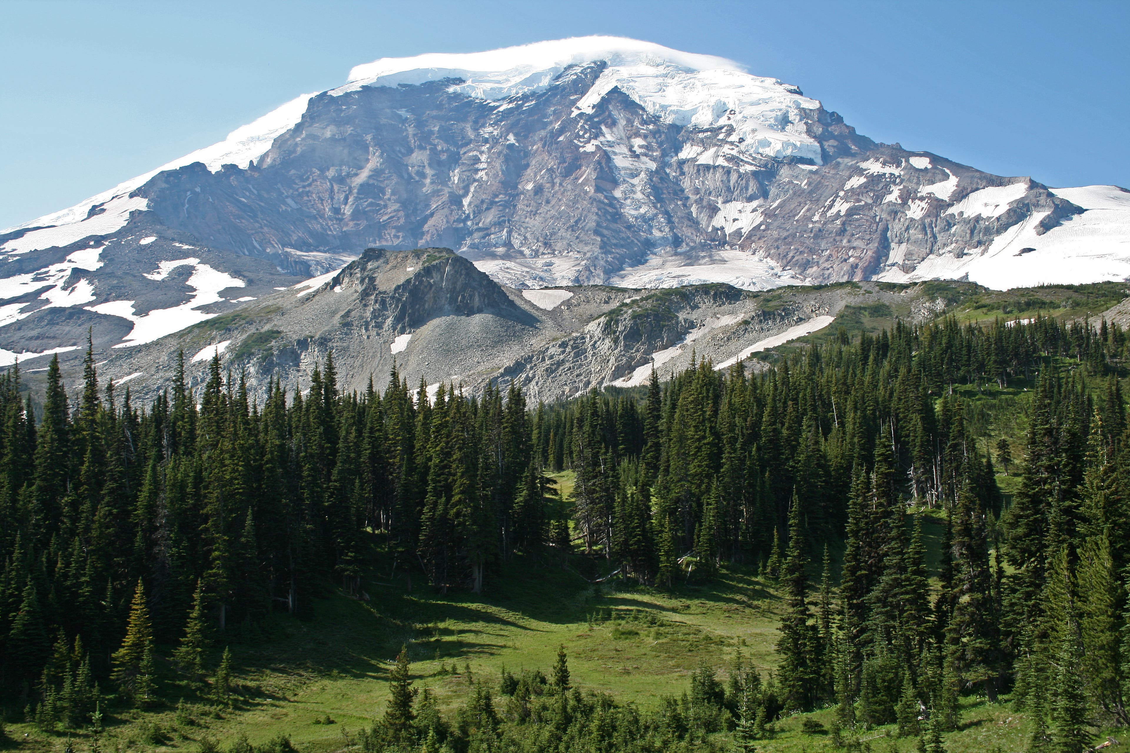
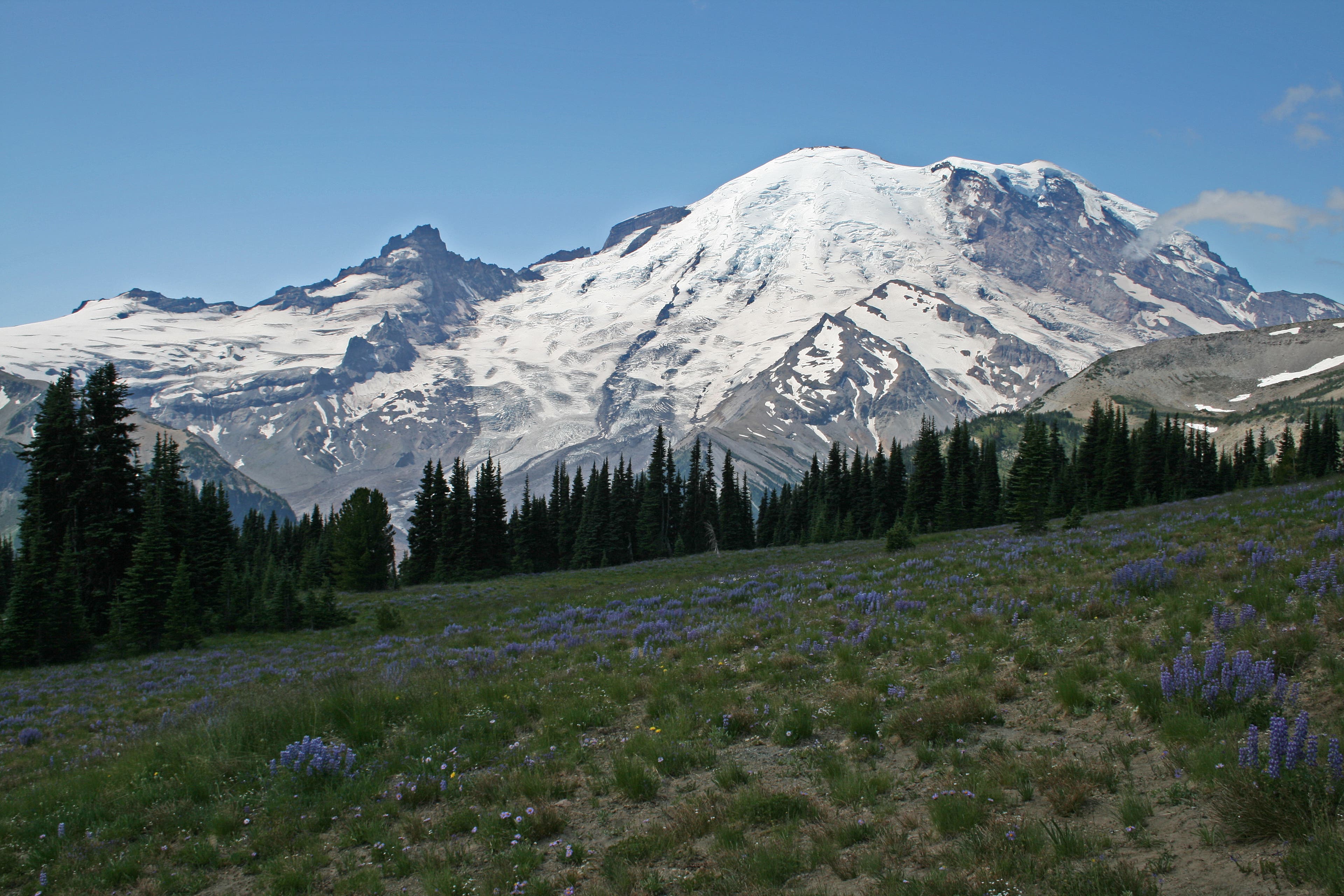
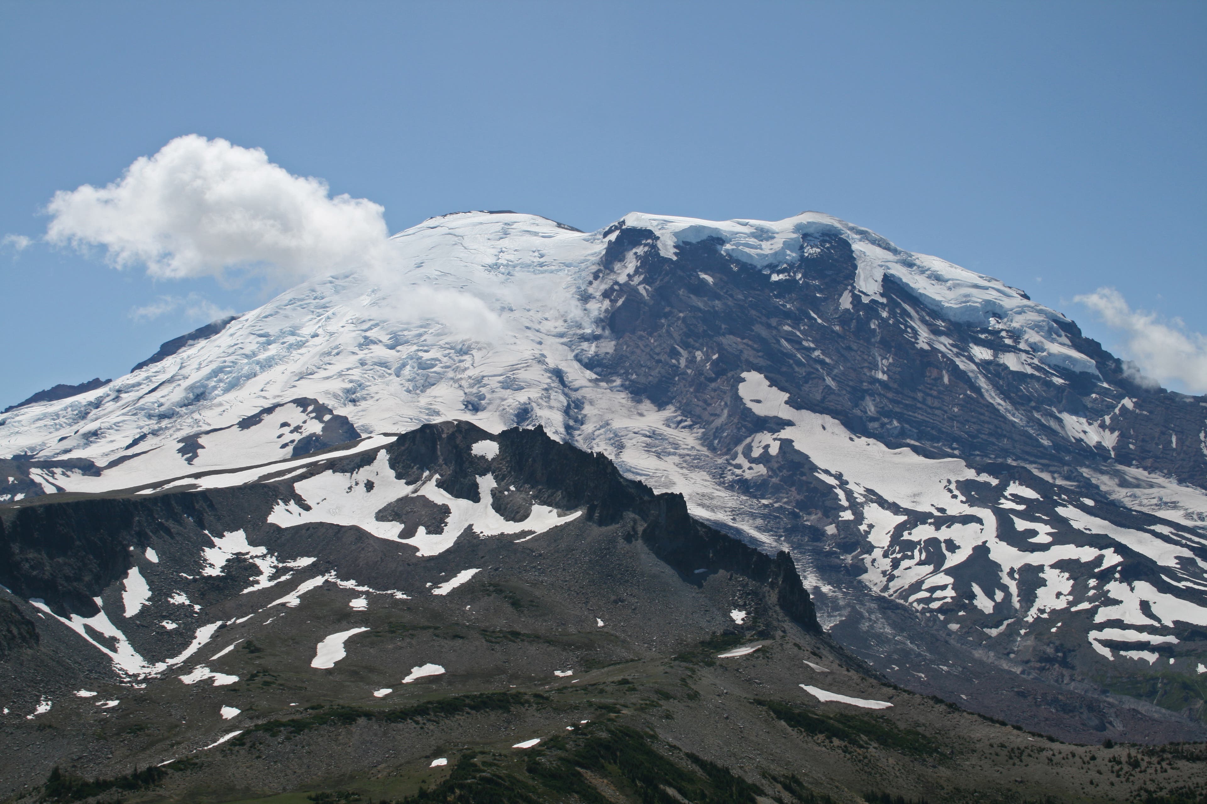
Many photo ops exist, as the mountain is easily viewed from the meadows surrounding Sunrise.
Mt. Rainier and Shadow Lake
Location: 46.919254, -121.658989
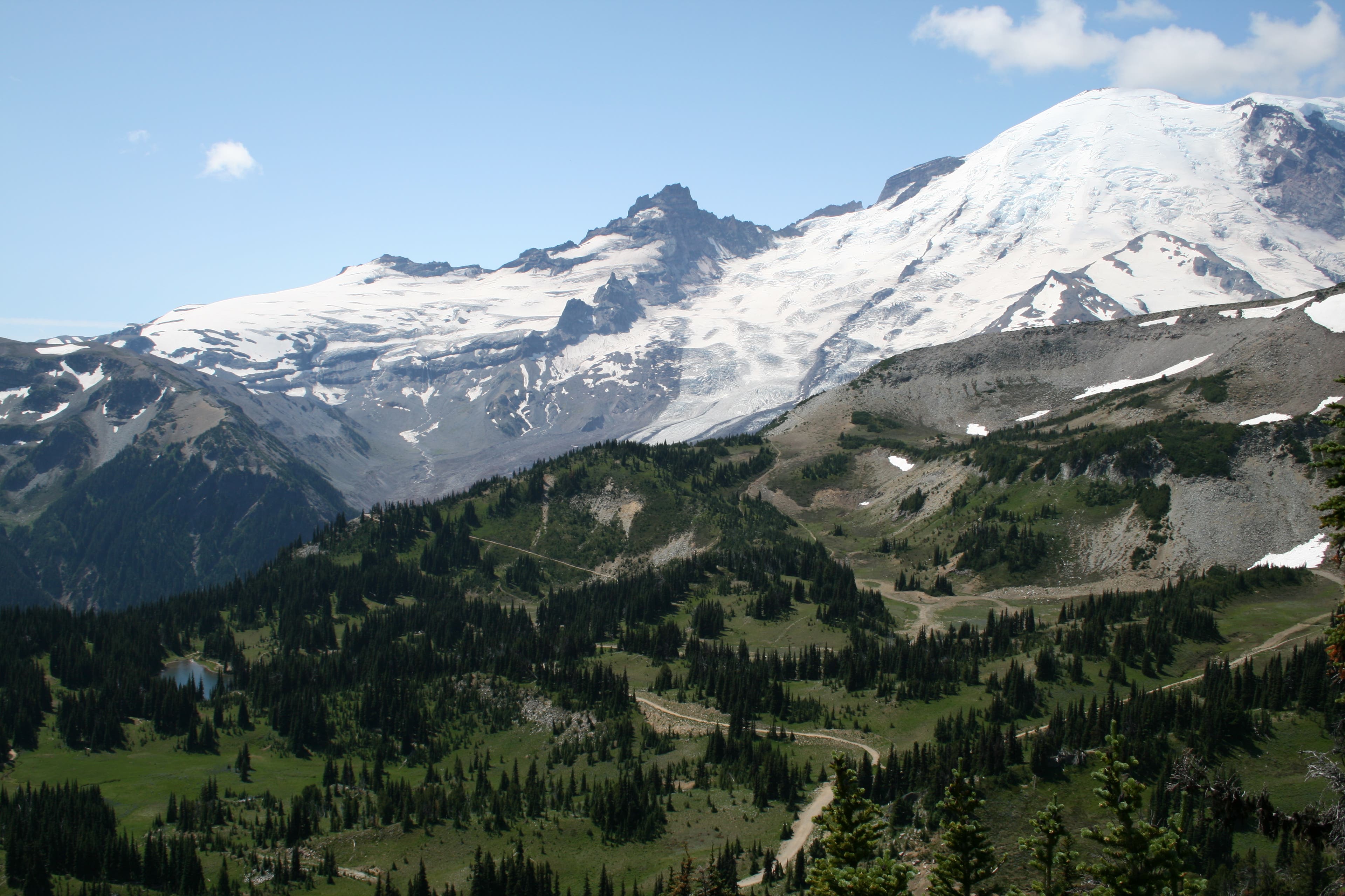
The views along the Sourdough Ridge Trail, looking down onto Shadow Lake and Sunrise backcountry camp.
Frozen Lake
Location: 46.918346, -121.665946
Berkeley Park
Location: 46.915275, -121.688349
Skyscraper Pass
Location: 46.922637, -121.697338
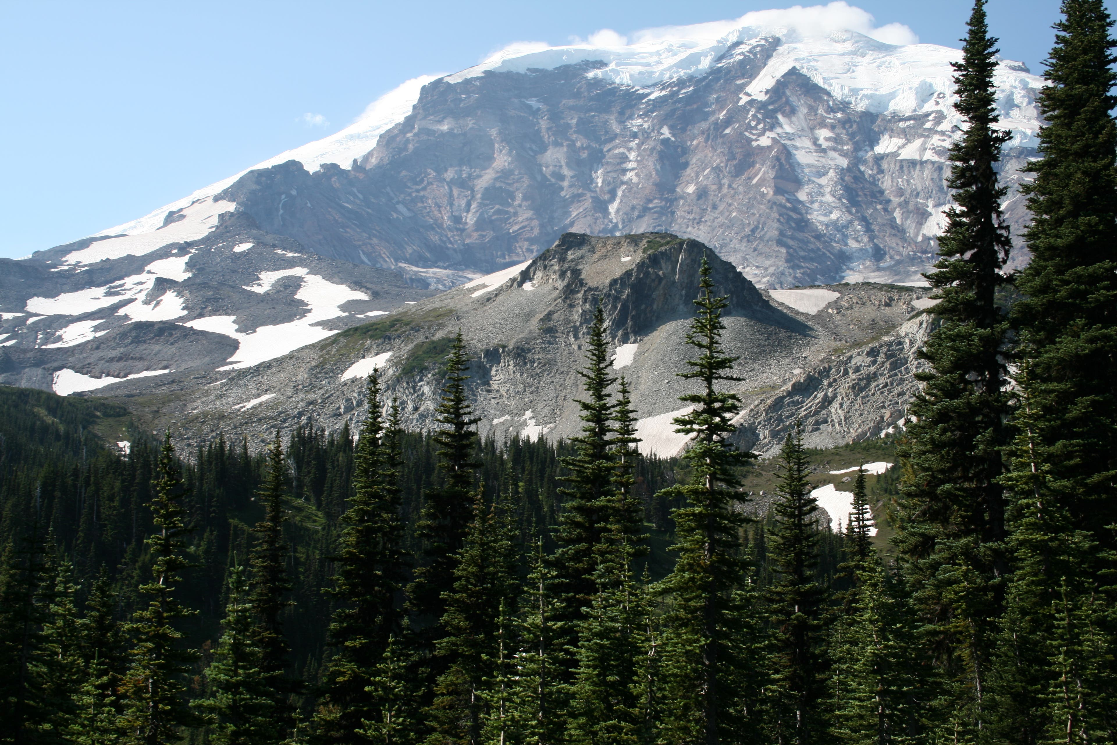
More up-close views of Mt. Rainier, as viewed from the trail’s highpoint at Skyscraper Pass.
Skyscraper Mountain Views
Location: 46.92715, -121.698196
Views across Berkeley Park
Location: 46.927107, -121.698153
Granite Creek Crossing
Location: 46.920285, -121.707444
Garda Falls
Location: 46.923086, -121.726591
Winthrop Creek Crossing
Location: 46.924064, -121.726292
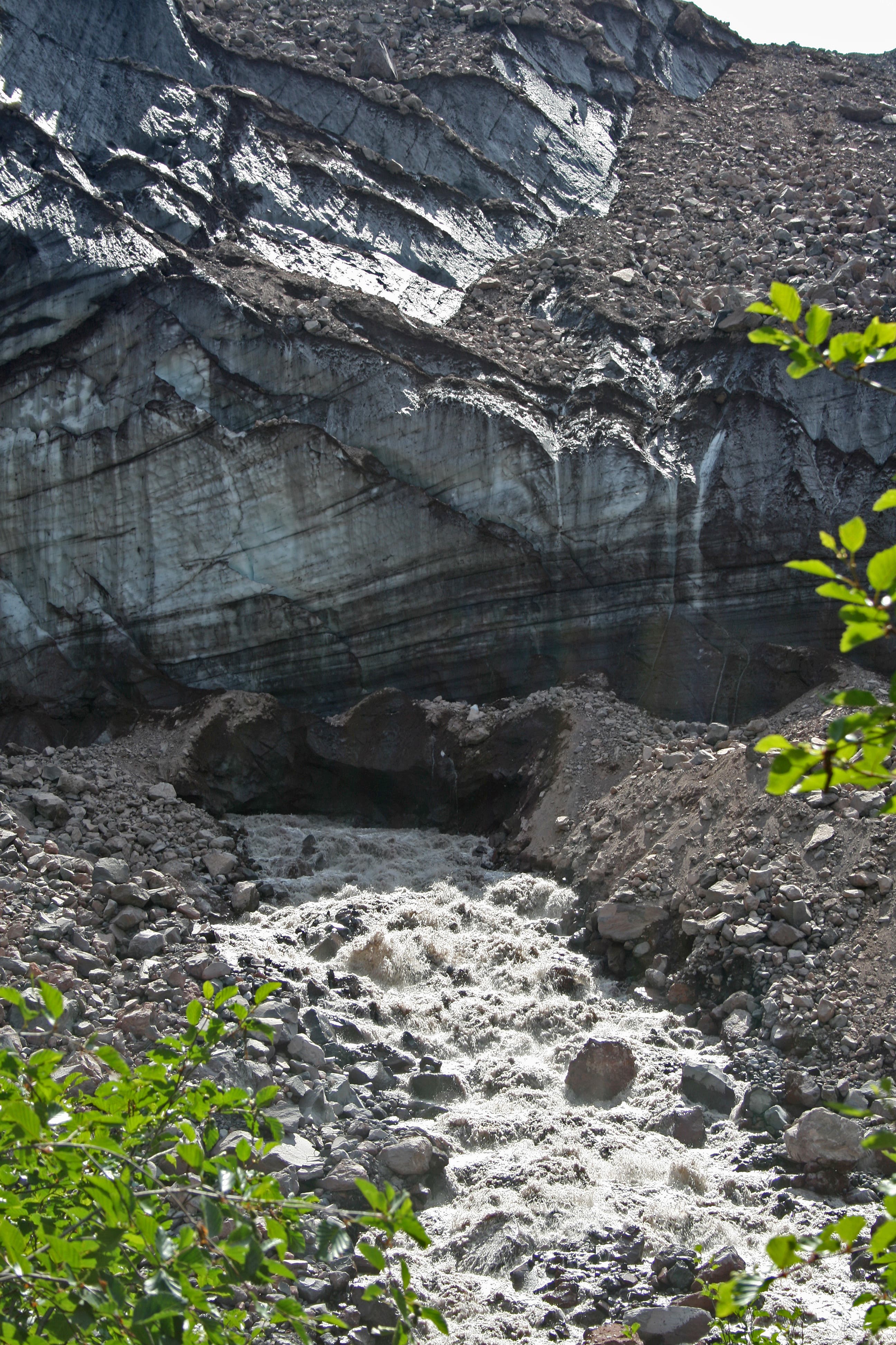
Snout of Winthrop Glacier
Location: 46.924173, -121.72646
Ice-melt forms the mighty Winthrop Creek.
White River Crossing
Location: 46.915125, -121.743279
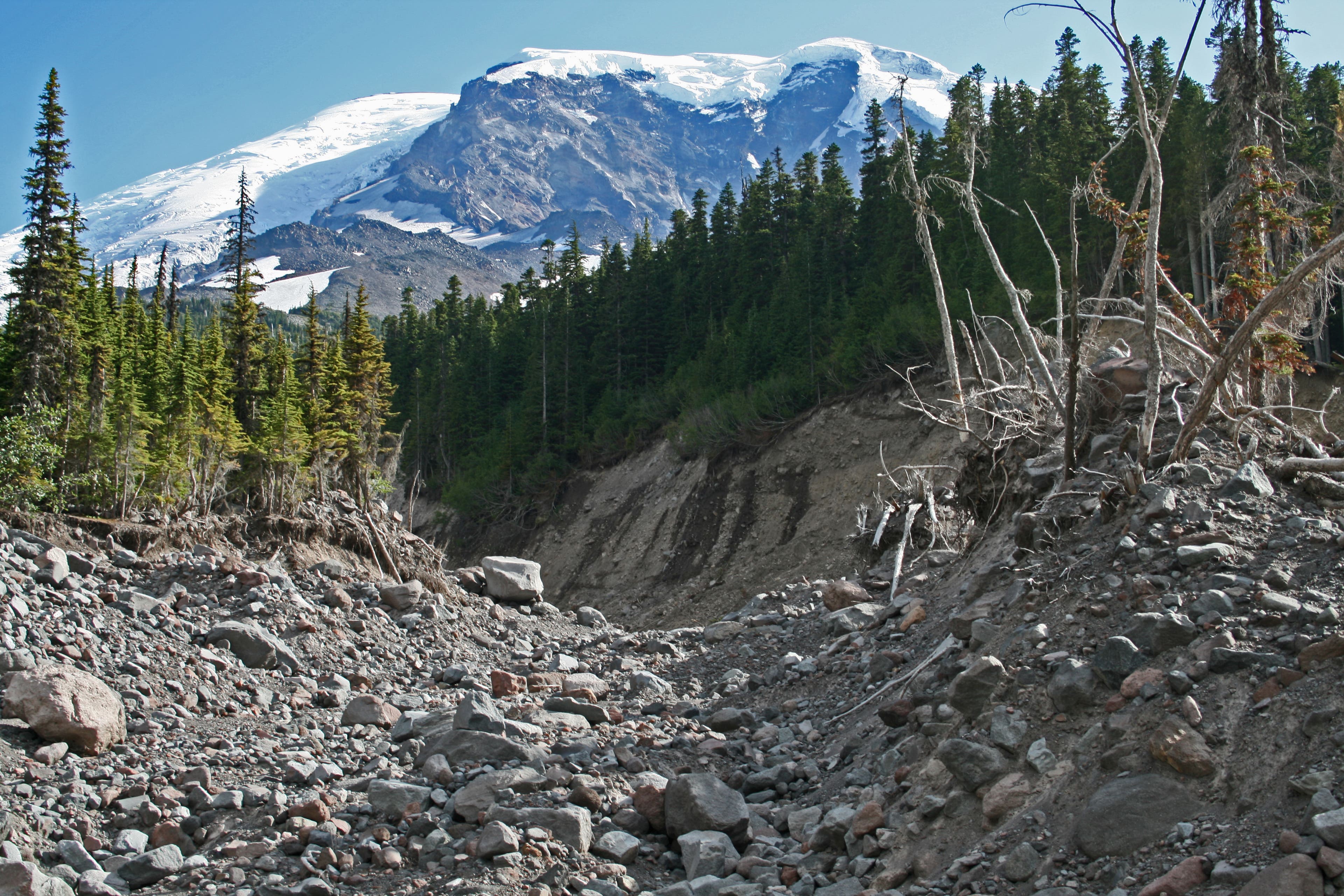
Here you can see the tremendous energy of the White River during flood stage. Notice the scoured hillsides. You must follow the cairns, and ribbons to find the trail on the other side.
Old Desolate
Location: 46.915507, -121.750016
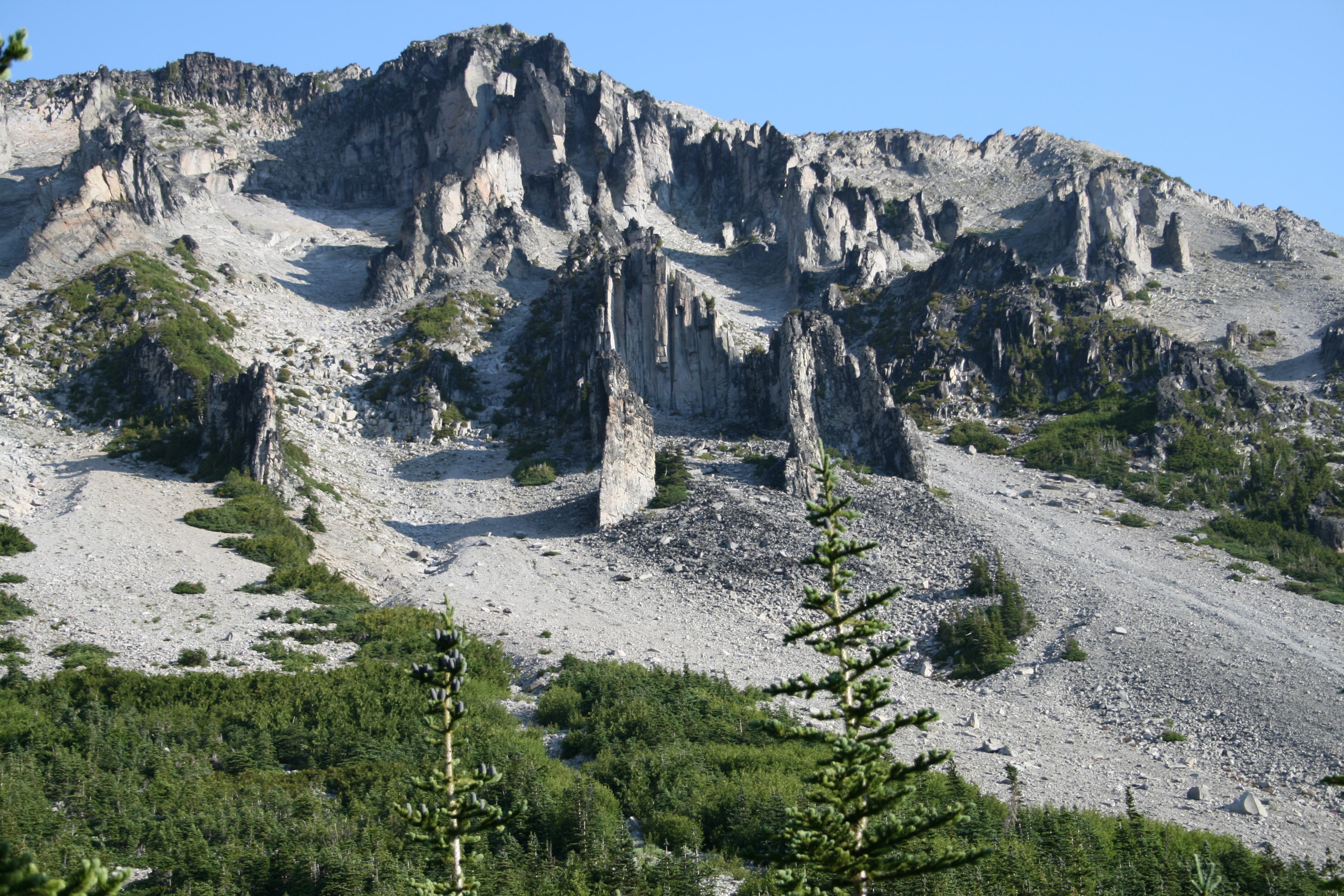
The jagged spires and columns on the Mystic Lake side of Old Desolate.
Mystic Lake
Location: 46.91385, -121.752162
Mystic Lake Meadows
Location: 46.912619, -121.754222
The trail winds through pretty meadows alongside Mystic lake with great views of the surrounding mountains.
Willis Wall
Location: 46.913161, -121.760015
The starkness of Willis Wall is evident on this side of the Mountain. Constant rockfall and dust plumes are always visible here.
Trail along Old Desolate
Location: 46.914744, -121.761775
The trail continues to climb through steep grassland before topping out and descending into Moraine Park.
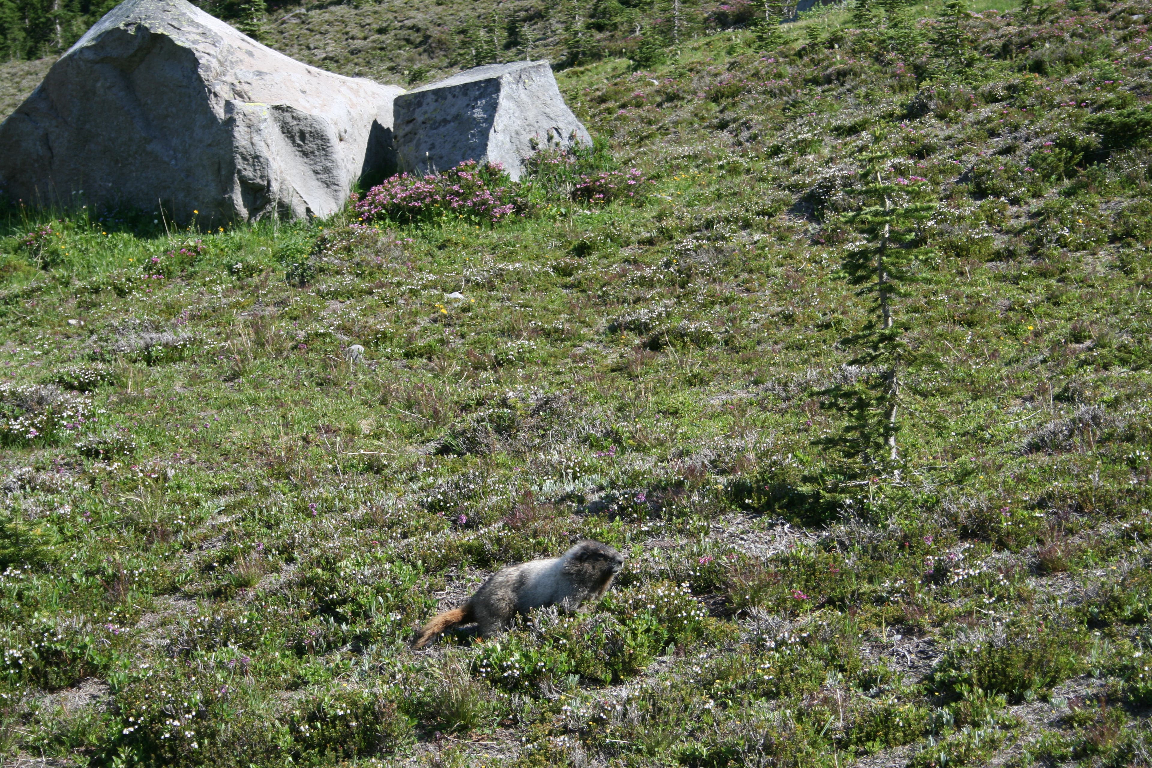
Marmots at Moraine Park
Location: 46.92071, -121.766689
Marmots are a common sight within the park.
Moraine Park
Location: 46.922835, -121.767912
Picture perfect Moraine Park with the mountain ever present.
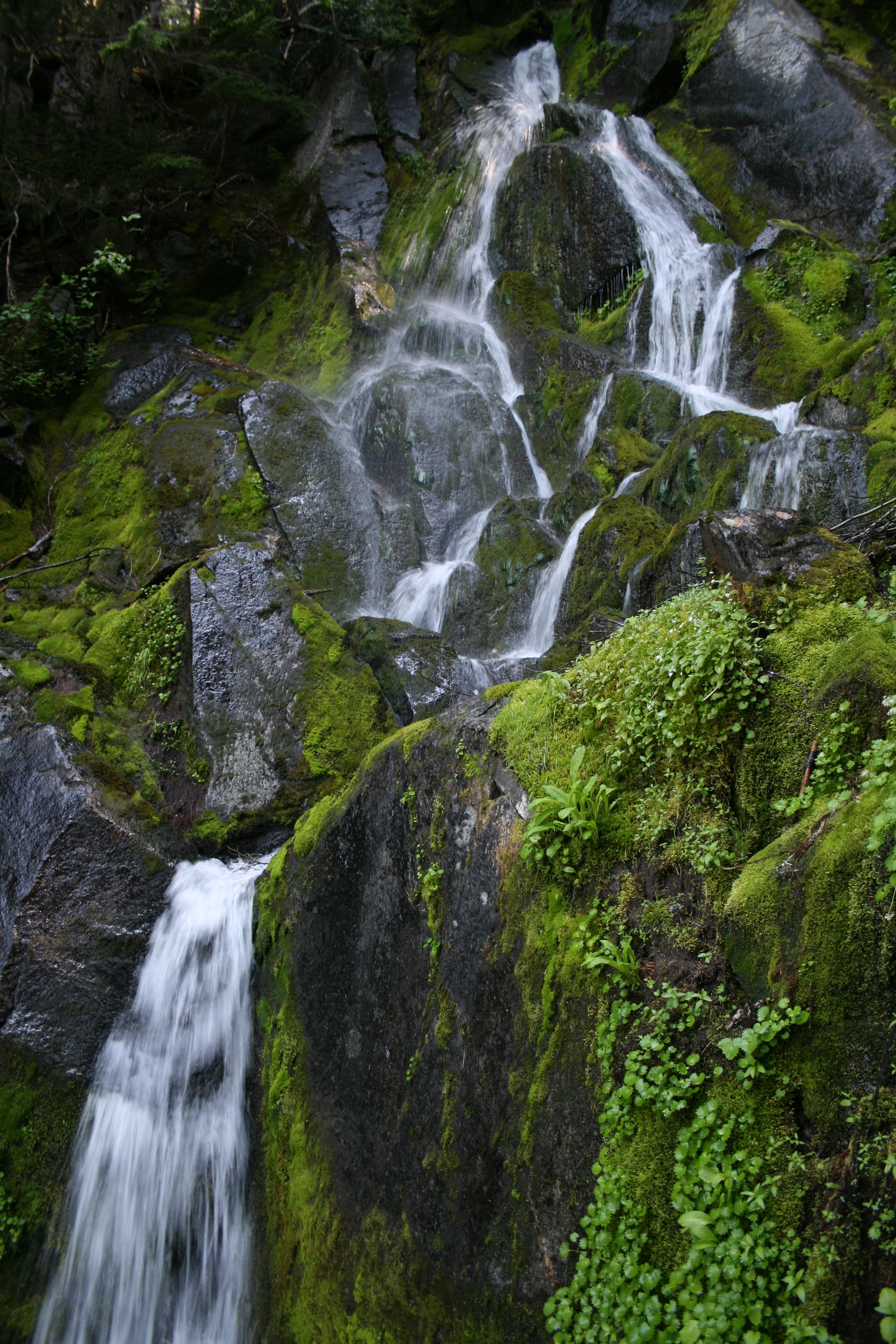
Mossy Falls
Location: 46.938513, -121.779752
In this old-growth forest, you’ll pass a few waterfalls. Fill up your water bottles and admire their cooling spray.
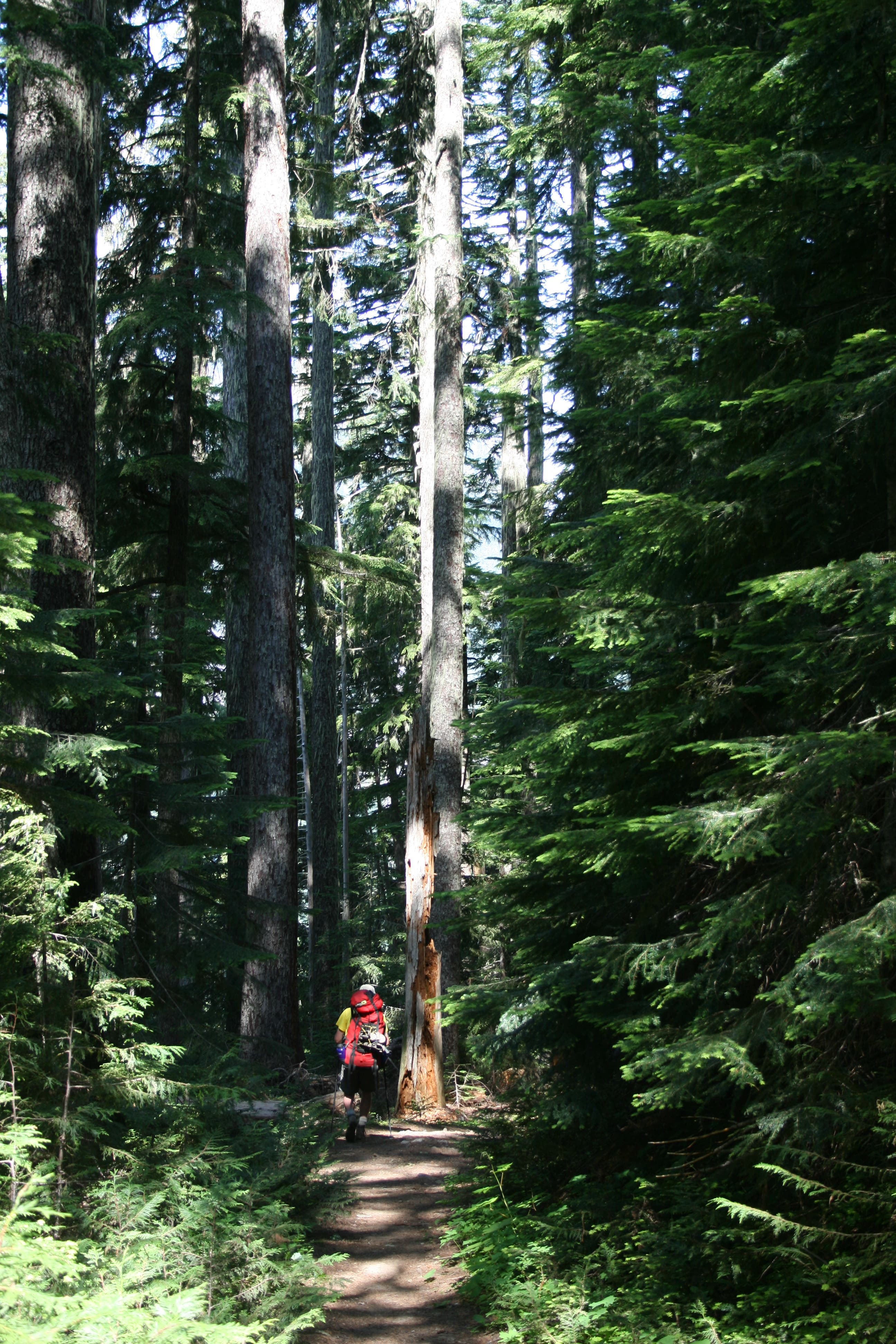
Forest Walk
Location: 46.939449, -121.783146
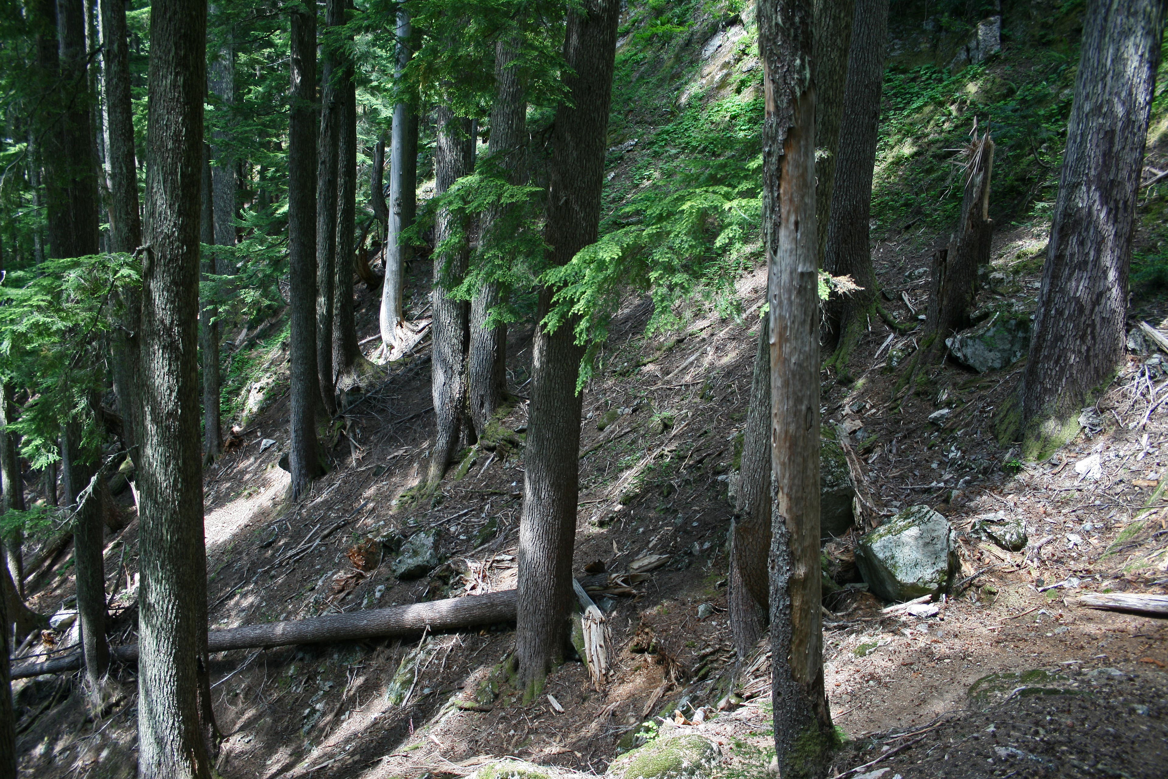
Continuing the descent to Dick Creek, you’ll feel dwarfed by the towering giants all around, which provide welcome shade on hot days.
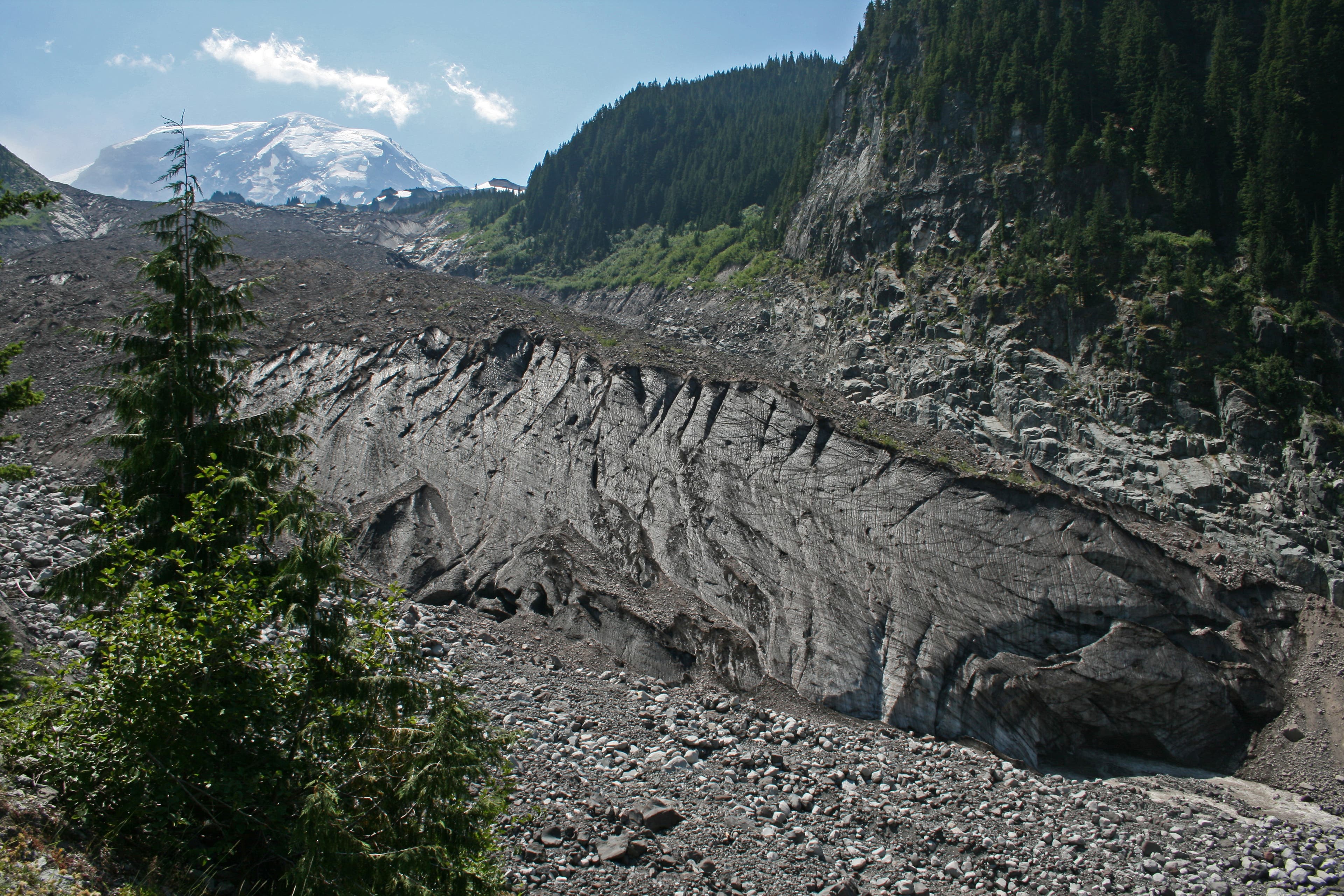
Snout of Carbon Glacier
Location: 46.945809, -121.791601
These are the headwaters of the Carbon River, the lowest glacier in the Lower 48. The moraine on top of the ice helps insulate it. Here, it is in constant transformation, as the rock and ice tumble from its edges, especially on hot days.
Carbon River Suspension Bridge
Location: 46.949706, -121.794434
Since the road at the Carbon River entrance has washed out, the bridge stands testimony to a busier time. On busy weekends, it can take 20 minutes to get across.
Steep Switchbacks
Location: 46.963619, -121.788597
This particular stretch of switchbacks climbs through old-growth forest.
Yellowstone Cliffs
Location: 46.959573, -121.767312
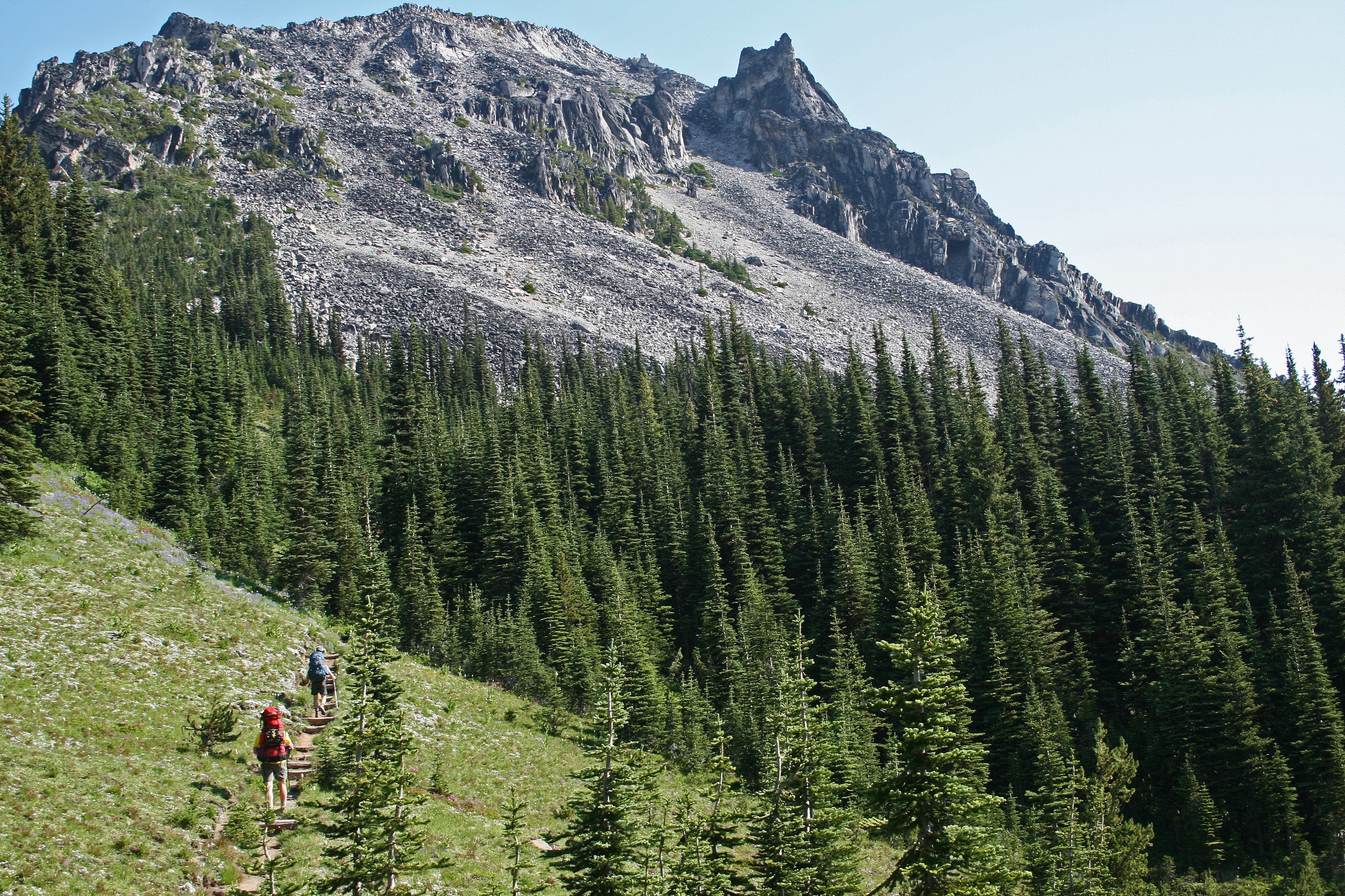
Rising above a steep hillside of beargrass, these beautiful yellow- and orange-stained cliffs are unlike any other in the park.
Wildflowers at Yellowstone Cliff
Location: 46.959784, -121.764389
The wildflowers during the summer months are resplendent.
Windy Gap
Location: 46.956443, -121.754608
A small tarn lies where Crescent and Sluiskin Mountains meet. Their constant snowfields feed the lake.
Sluiskin Mountain
Location: 46.957293, -121.746111
From the trail that led to the Natural Bridge, you can see the peaks on Sluiskin Mountain and the valley below.
Natural Bridge
Location: 46.962592, -121.743701
Lake James
Location: 46.964827, -121.733966
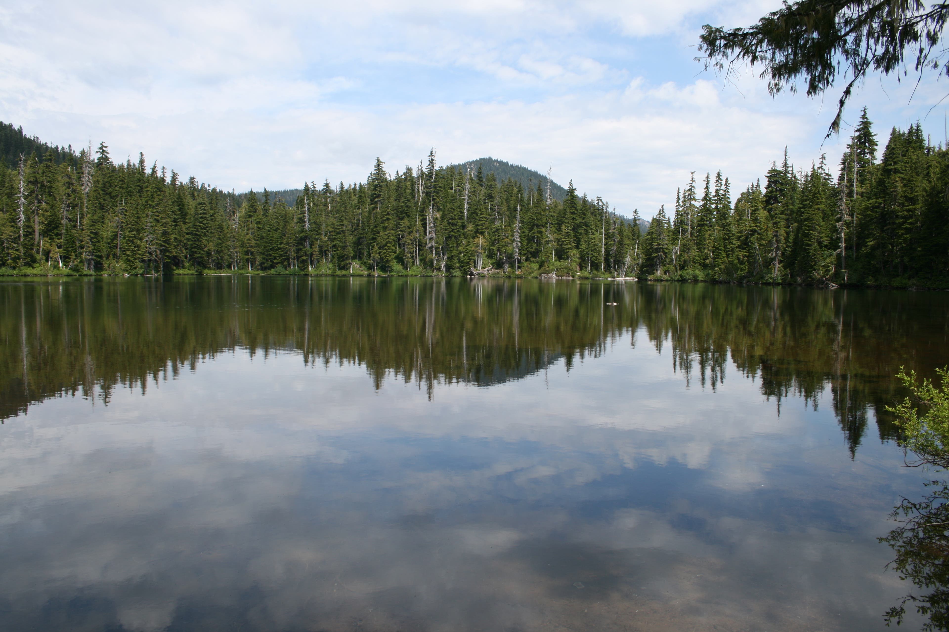
A pretty little lake that sits below Natural Bridge.
Van Horn Falls
Location: 46.973172, -121.719938
This view is close to the new crossing of the White River.
White River Crossing
Location: 46.973203, -121.719919
Fire Creek Camp
Location: 46.968393, -121.693486
This seldom-used camp has good access to water and a backcountry toilet. The surrounding trees provide shelter from the sun’s rays.
Viewpoint
Location: 46.961833, -121.692724
After Fire Creek Camp, this is the first place to get a wide-open view of Rainier and the White River Valley.
Grand Park
Location: 46.958259, -121.687016
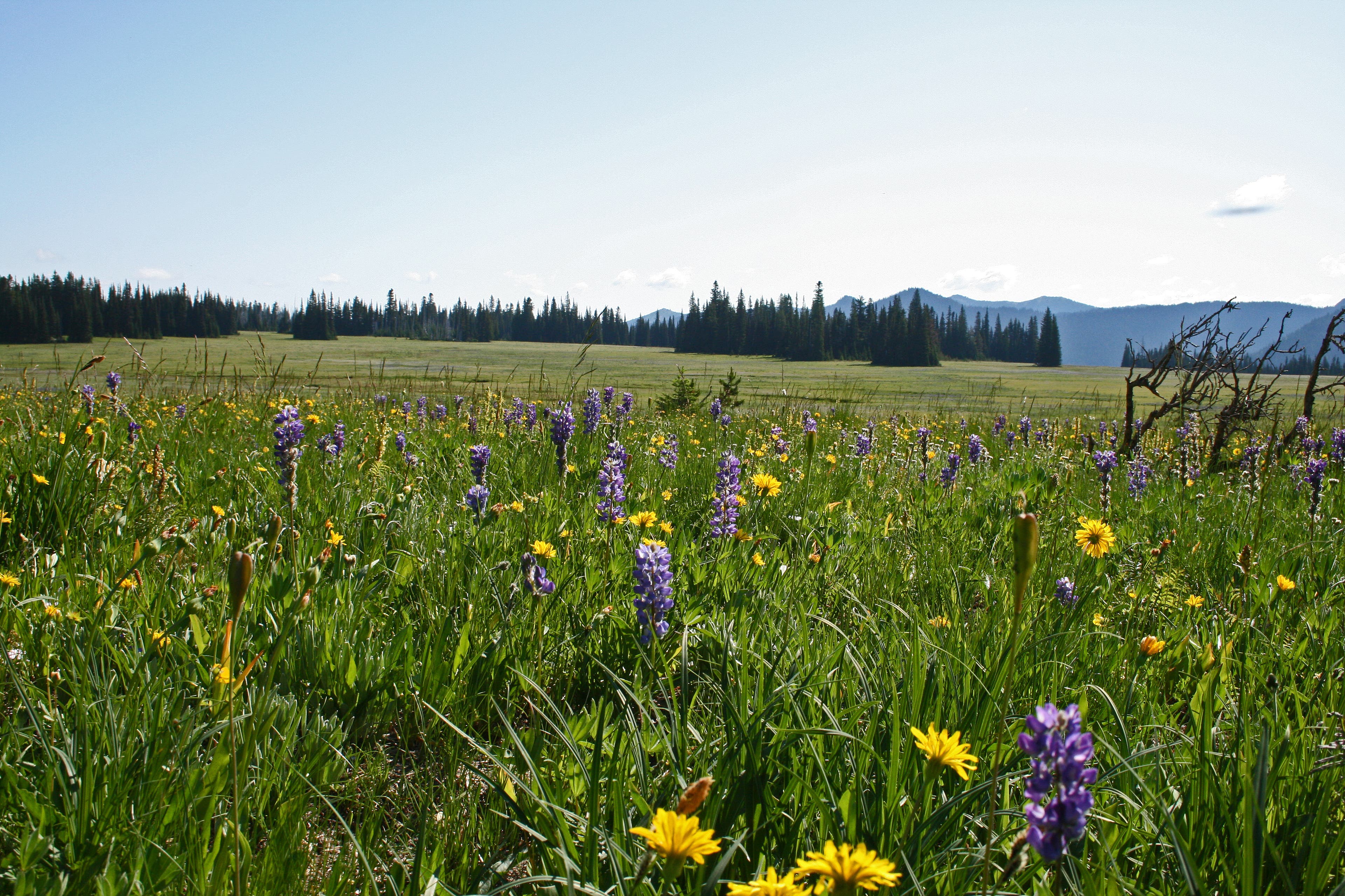
Take in the views from this well-named park. The prolific wildflowers form huge patches of color that can be seen from as far away as Skyscraper Mountain.
Beargrass
Location: 46.947157, -121.686502
Mt. Fremont rises behind slopes filled with beargrass.
Berkeley Park
Location: 46.928345, -121.686931
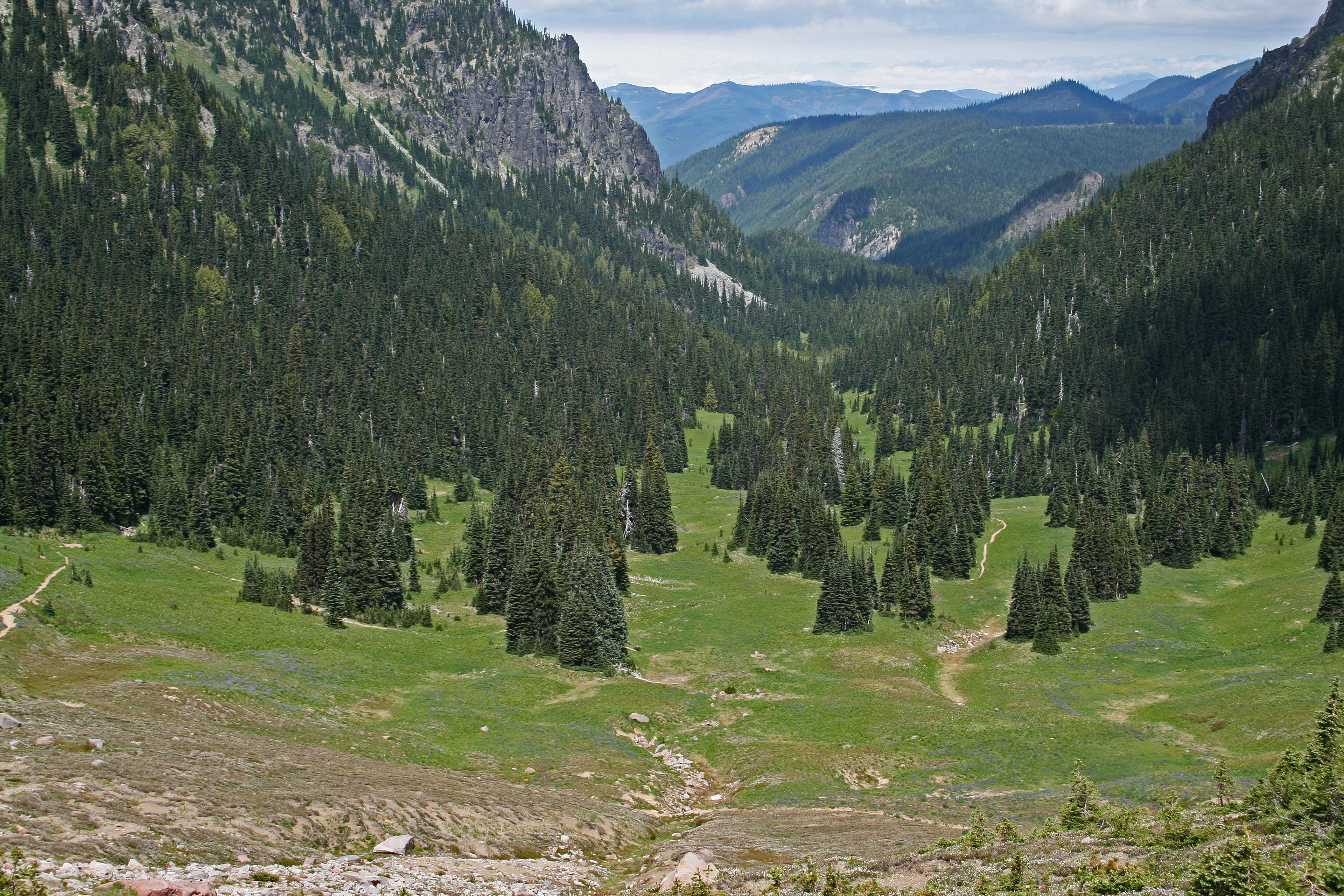
Berkeley Park and Lodi Creek.
Lodi Creek
Location: 46.925458, -121.688261
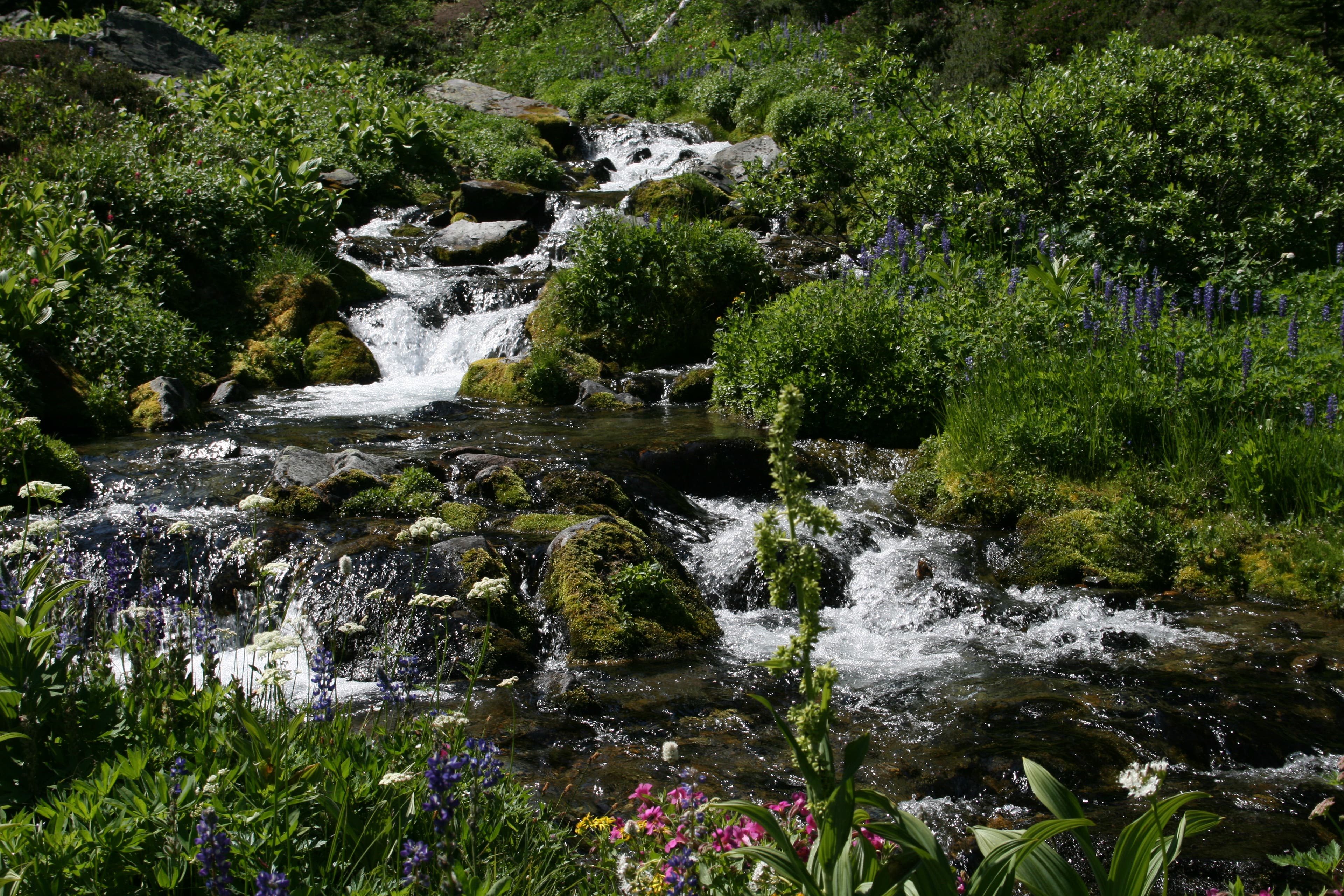
You’ll hike past perfectly sculpted falls on Lodi Creek in Berkeley Park.
Lodi Creek in Berkeley Park
Location: 46.923714, -121.687489
Small falls on Lodi Creek