Updated February 28, 2024 05:19PM
Hike To The Best Views Of Mt. Rainier On The Naches Peak Loop
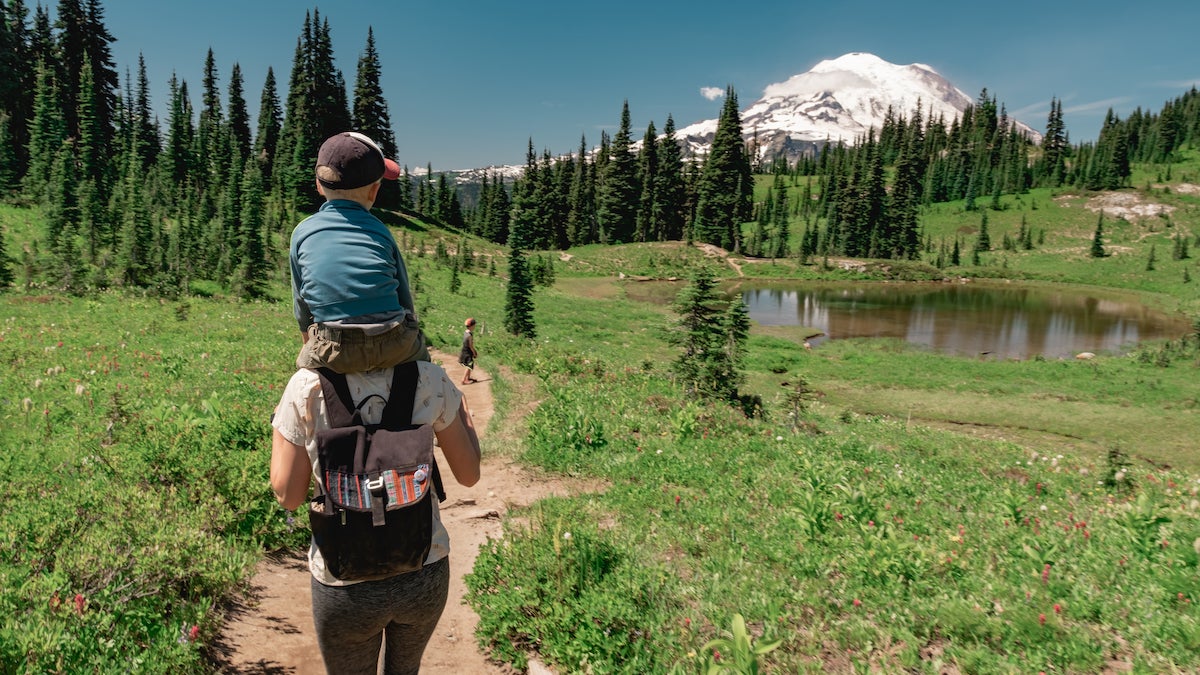
This family-friendly dayhike circles Naches Peak, passing mountain lakes, wildflower meadows, and picture-perfect views of Mount Rainier.
(Photo: Jon Lauriat via Getty Images)
Perfect for families with young hikers, the Naches Peak Loop—an easygoing, 4.1-mile loop—visits several mountain pools and showcases jaw-dropping views of Mount Rainier.
How To Hike Naches Peak Loop
To hike Naches Peak Loop, start from the parking area north of Chinook Pass and hike to a T-junction with the Pacific Crest Trail (PCT). Turn left onto the PCT past impressive displays of avalanche lilies and head south to Chinook Pass. Look for slopes blanketed with avalanche lilies, lupines, bistorta, and paintbrush. At the pass, bear left and cross a bridge over WA 410. The trail passes avalanche lilies, lupines, and paintbrush and enters William O. Douglas Wilderness after half a mile (area marked by wooden signposts). Ahead, the trail winds through open, grassy slopes ablaze with brilliantly-colored wildflowers. Naches Peak looms directly to the south.
After hiking past lush meadows and granite boulders below Naches Peak, you’ll reach a picturesque tarn nestled between a few fir trees (perfect camp spot for families). Soon, the trail climbs southeast toward a saddle after skirting a picturesque tarn nestled between a few fir trees.
ADVERTISEMENT
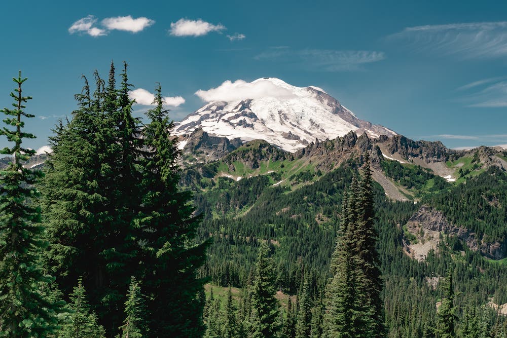
Just past the saddle, you’ll find places to sit back and enjoy the view down to Dewey Lake. Next, the trail swings to the west and enters Mount Rainier National Park. Bear right at the Y-junction above Dewey Lake (mile 1.8) and climb west. Keep your camera handy: Mt. Rainier makes its first appearance 400 feet past the junction. It rises behind lush meadows, firs, and a photogenic tarn. Also, keep an eye out for elk and marmots.
This popular viewpoint looks out onto meadows filled with wildflowers and the glacier-covered slopes of Mt. Rainier. Raptors circle the skies above and western tanagers hang out in nearby trees. Continue another 0.3 mile and take a break at a popular viewpoint overlooking Rainier and colorful wildflower meadows. Ahead, begin the gradual descent back to the highway and Tipsoo Lake. From here, the route gradually descends to WA 410. Cross WA 410 and pick up the trail leading to Tipsoo Lake on the other side. Finish the hike by climbing the open slopes above the lake and following the trail back to Chinook Pass. Turn left onto the PCT for the short hike back to the parking area.
Important Information For Mount Rainier National Park
For information on current trail and camp conditions and wilderness guidelines, check out the park’s website. A wilderness permit is required for all overnight camping in the backcountry. Reservations requests accepted by fax or mail, starting on March 15th of each year ($26/reservation).