Mount Rainier National Park: Glacier Basin

Start at the Glacier Basin trailhead in the White River Campground, and hike west on a wide, smooth trail that was reconstructed after the 2007 washout. At mile one, fork left at the junction with Emmons Moraine Trail for a .4-mile (one-way) detour to a viewpoint overlooking the 4.3-square-mile Emmons Glacier (the largest glacier in the Lower 48). Backtrack to the main trail and turn left for a gradual climb up the valley. At mile 3.2, continue straight at the 3-way junction with Burroughs Mountain/Sunrise Trails, and continue another 0.7 mile to the Glacier Basin Camp. In summer and fall, black bears forage for huckleberries in these meadows. A half-mile walk farther up the valley leads to five-star views of The Wedge and the entire basin.
INFO For information on permits, current trail and camp conditions, and wilderness guidelines, go to nps.gov/mora/planyourvisit/wilderness-camping-and-hiking.htm.
PERMIT A wilderness permit is required for all overnight camping in the backcountry. Reservations requests accepted by fax or mail, starting on March 15th of each year ($20/reservation). Download form at nps.gov/mora/planyourvisit/wilderness-reservation-information.htm.
CONTACT Mt. Rainier National Park, (360) 569-2211; nps.gov/mora
-Mapped by Eli Boschetto, Bosco Mountain Photo


Trail Facts
- Distance: 12.9
Waypoints
GLA001
Location: 46.901595, -121.645968
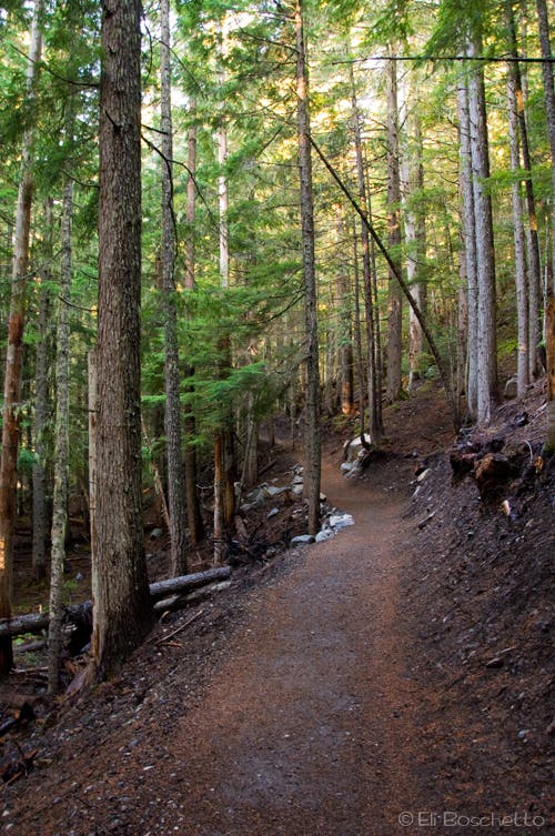
The loop begins at the White River Campground. Hike west up the valley on the newly rebuilt Glacier Basin Trail, a smooth, wide path (based on 1930’s CCC standards).
GLA002
Location: 46.900939, -121.658156
Stop at this switchback to watch a cascading waterfall through the trees.
GLA003
Location: 46.900561, -121.66307
Cross a cascade.
GLA004
Location: 46.9, -121.665234
At mile one, bear left on Emmons Moraine Trail to a viewpoint of the Emmons Glacier. At 4.3 square miles, it’s the largest glacier in the Lower 48.
GLA005
Location: 46.899363, -121.664684
Turn right to reach the viewpoint of Emmons Glacier. Look down for views of a milky blue lake.
GLA006
Location: 46.898047, -121.670752
Stop for more wide-open views of Emmons Glacier. The trail continues up the moraine, then descends to the toe of the glacier; explore at will, then return to the Glacier Basin Trail to continue the loop.
GLA007
Location: 46.89987, -121.668136
Cross a rockfall slope and a wide creek.
GLA008
Location: 46.896859, -121.678471
Pass debris from leftover mining ruins.
GLA009
Location: 46.894515, -121.692298
Continue straight at the 3-way junction with Burroughs Mountain Trail for an out-and-back into Glacier Basin.
GLA010
Location: 46.894059, -121.694462
Cross several cascades on wooden bridges.
GLA011
Location: 46.888862, -121.700265
A side trail on the right (north) leads to a Glacier Basin restroom.
GLA012
Location: 46.888854, -121.700774
Glacier Basin Camp: Use designated sites; water is accessible via side trails.
GLA013
Location: 46.888811, -121.702002
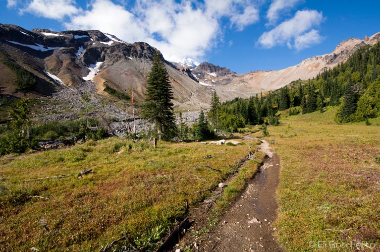
The maintained trail ends here. In summer and fall, black bears munch huckleberries in the subalpine meadows of Glacier Basin. Optional: Hikers can pick up the use trail, which continues 0.5-mile to The Wedge, and beyond to Inter Glacier and climbing camps. Follow the same route back to the trailhead.
Lakelet in Glacier Basin
Location: 46.889821, -121.701387
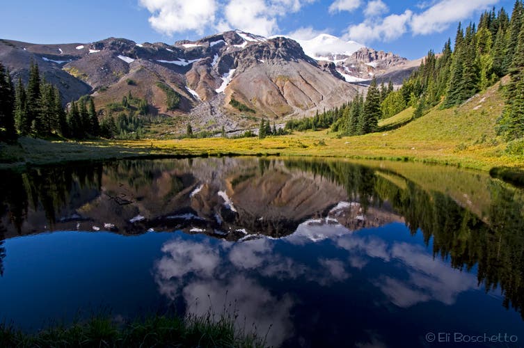
A small lakelet on the west side of Glacier Basin presents dramatic reflections of Mt. Rainier in the morning’s still water.
Glacier Basin Trail
Location: 46.901169, -121.649278
Emmons Glacier
Location: 46.898571, -121.668735
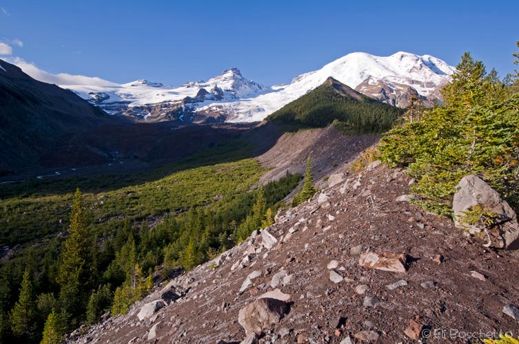
From the Emmons Moraine Trail, get wide-angle views of the Emmons Glacier, Little Tahoma, and Mt. Rainier.
Glacier Basin
Location: 46.888819, -121.701923
The official trail ends in Glacier Basin, but a climber’s route continues up the valley to The Wedge, and higher climber’s camps.