Mount Rainier National Park: Camp Muir (Summer Route)
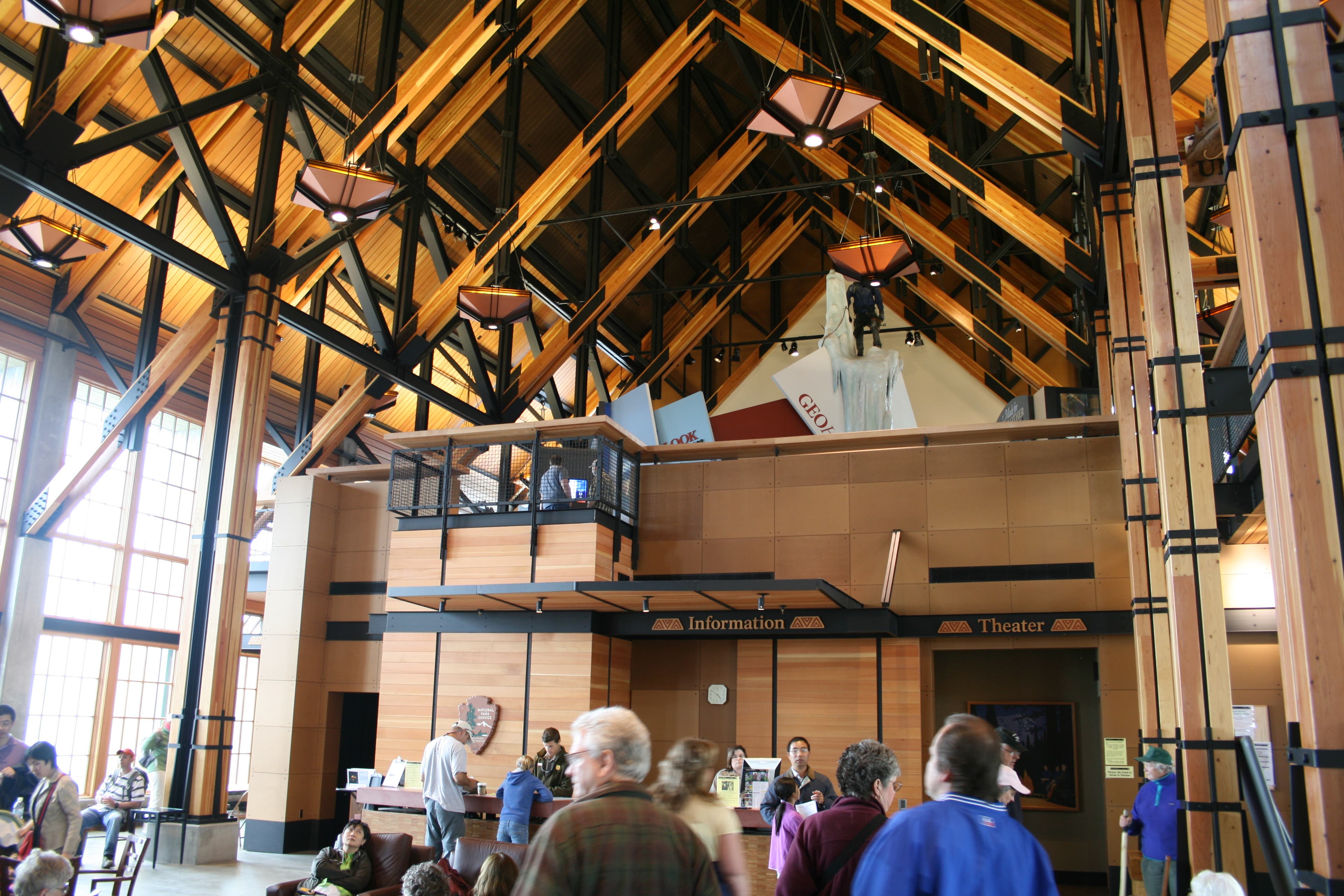
Mount Rainier may be a technical, world-class peak, but you don’t have to be a mountaineer to experience it. This challenging, 8.4-mile out-and-back climbs to a high-altitude basecamp above the Muir Snowfield and comes within two miles of the mountain’s 14,410-foot crown. Start at the upper parking area, next to the Paradise Jackson Visitor Center, and follow the wide paved path northeast to the signed Skyline Trail, a well-worn dirt trail directly across from the ranger station.
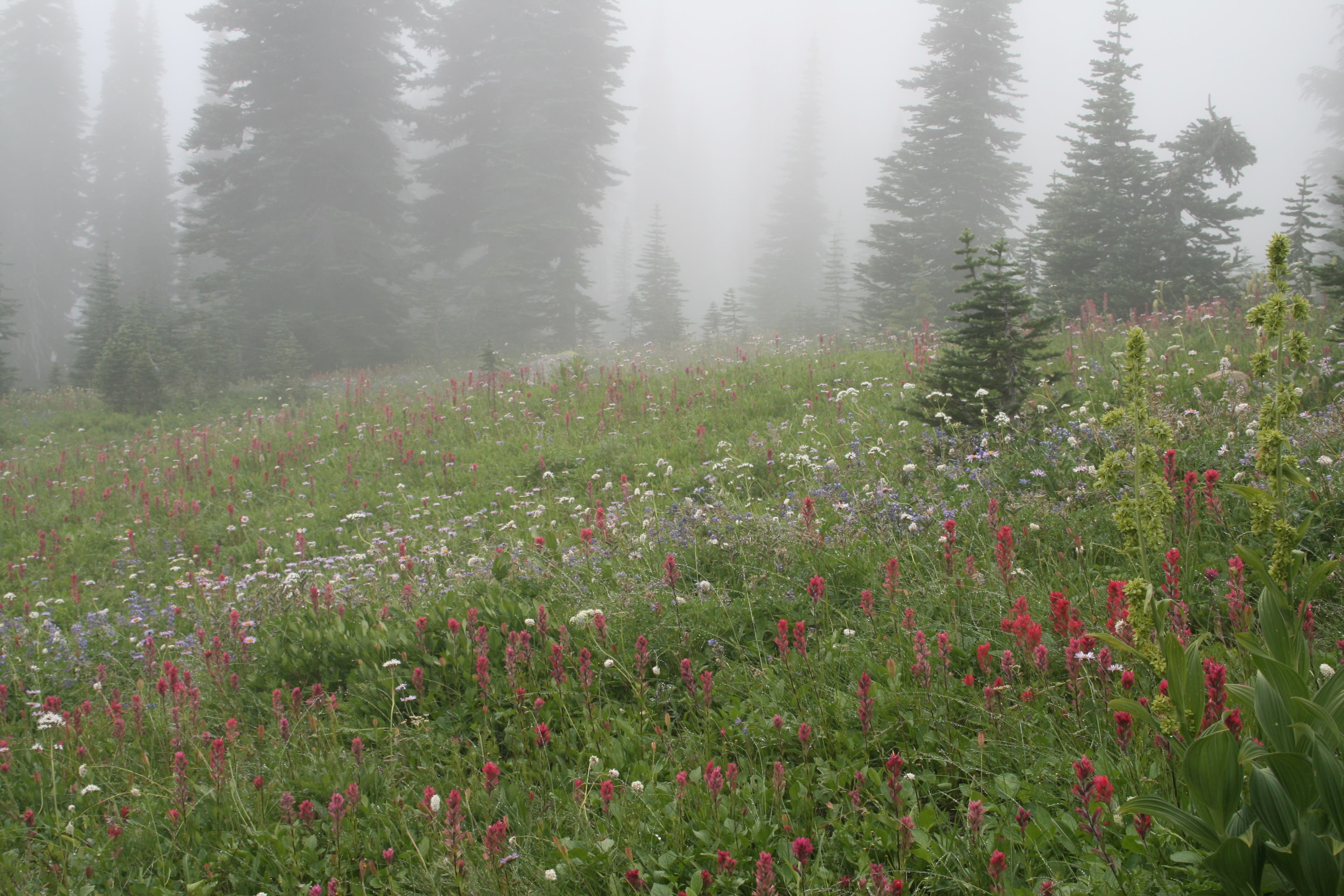
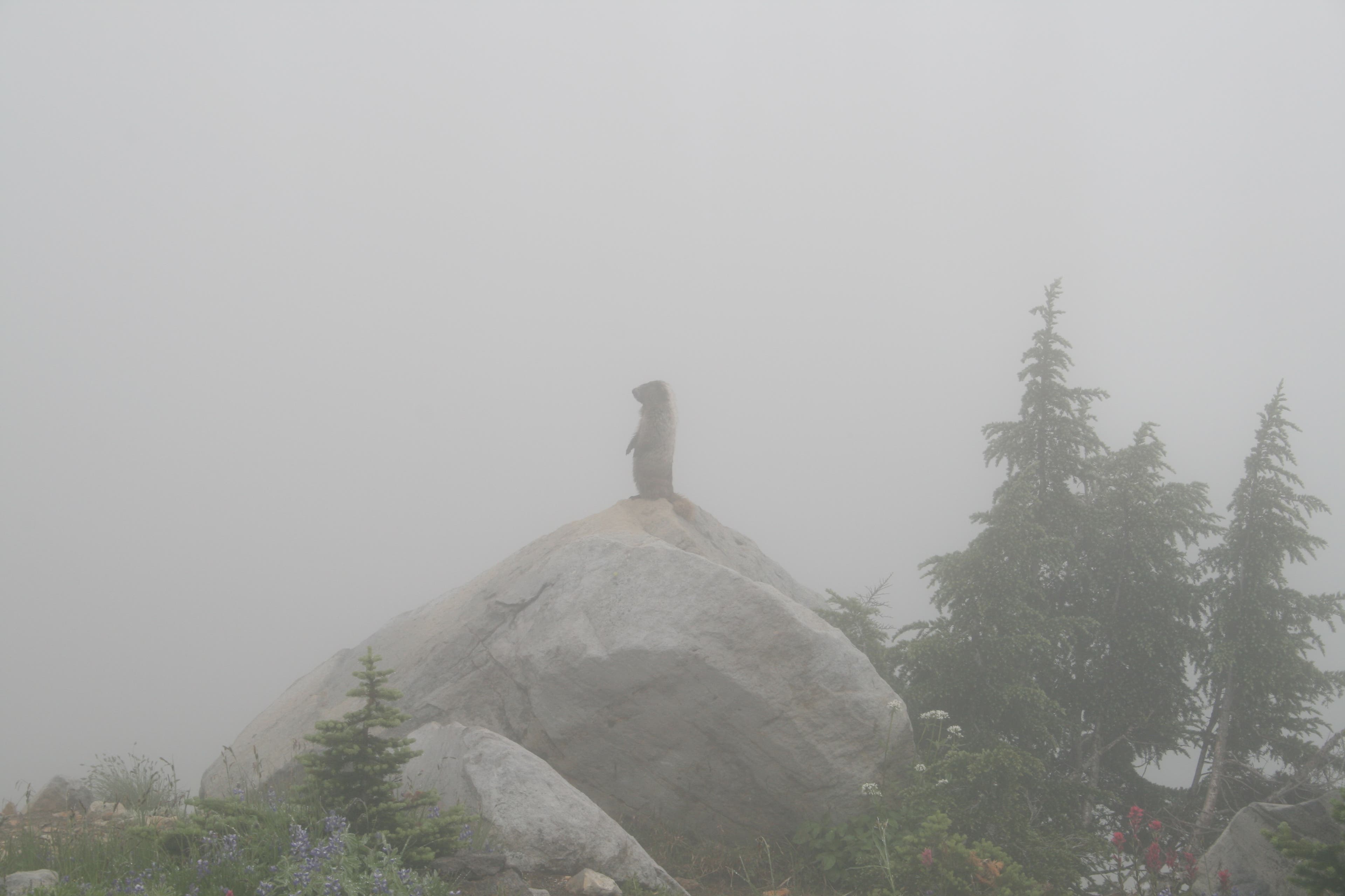
Turn left off the main footpath and climb northwest through Paradise Park. A spider web of trails crisscrosses the meadows—and violet patches of lupine and bright red Indian paintbrush drown out the grass in July and August. Keep straight at the next two four-way intersections, following signs for Camp Muir and Skyline Trail. Resident marmots may track your progress from the tops of armchair-size boulders.
Less than a mile in, crest a grassy ridgeline separating calf-deep Dead Horse and Edith Creeks, and continue on Skyline Trail. At the junction near mile 1.1, pick your preferred route: 1) Bear left to crest Glacier Vista, a 6,336-foot ridgetop high above a valley scored by the Nisqually Glacier to the west (across the chasm of ice, thinly braided waterfalls flow out of the Wilson Glacier and over the adjacent cliffs); 2) Bypass the ridgetop by veering right. The trails reconnect just ahead. At mile 1.6, turn left at a signed junction toward Pebble Creek and Camp Muir. Rock hop across Pebble Creek at mile 2.1, then keep climbing north past 7,385-foot McClure Rock, which resembles a pyramid-shaped pile of plywood-sized rock slabs.
The official trail ends near 7,300 feet. The remaining, upward trudge to Camp Muir crosses permanent snowfields interspersed with rock, sand, and piles of pumice and volcanic ash that turn the snow a muddy red in places. At 8,640 feet, round a rock promontory, which forms the leading edge of a ridge that connects to the aptly-named 9,584-foot Anvil Rock (half a mile to the north-northeast). Keep this ridge to your right as you climb up the Muir Snowfield. In late summer, the exposed ice of the Muir Glacier melts into small rivulets of water; crampons or mountaineering boots required.
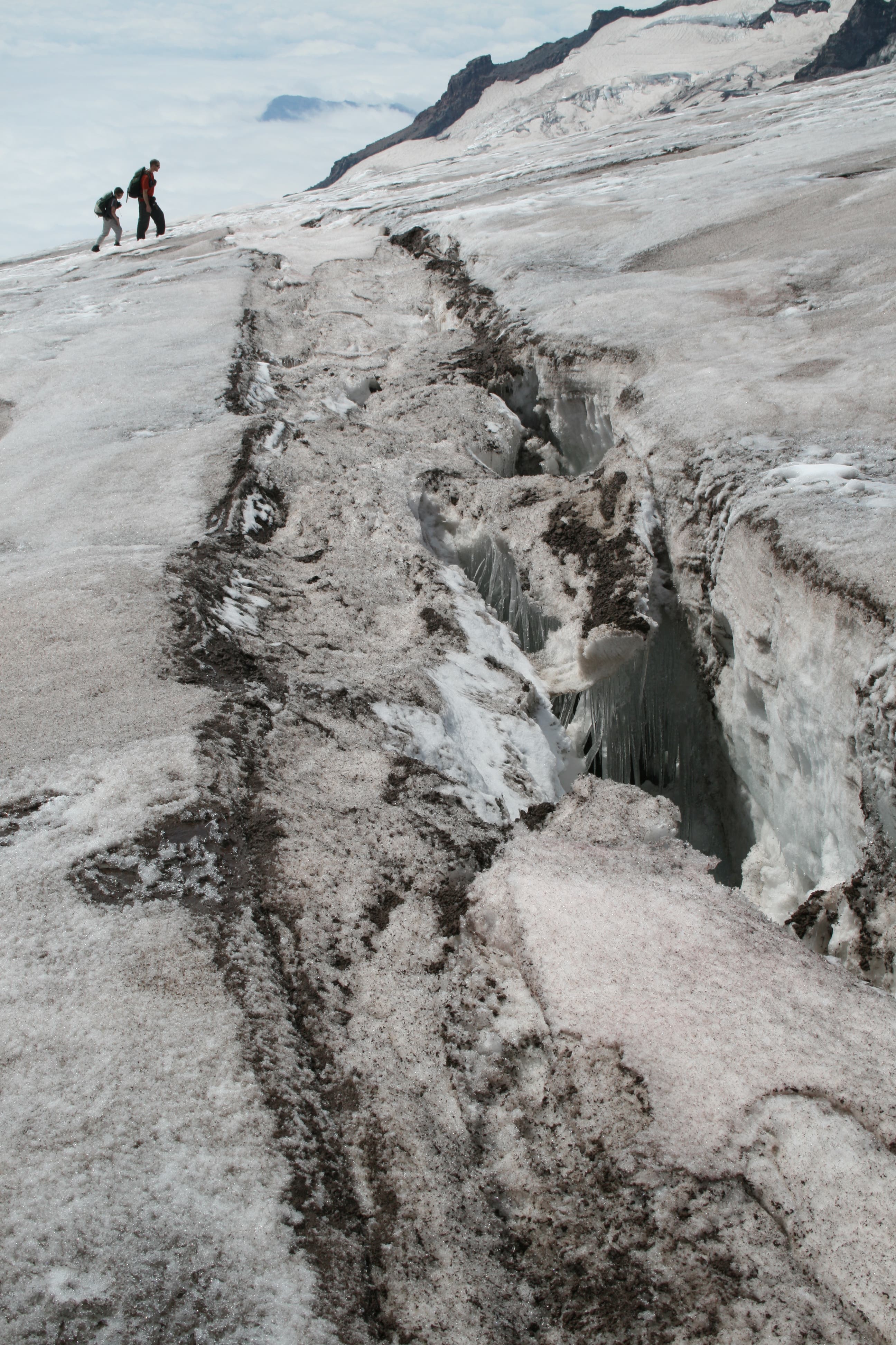
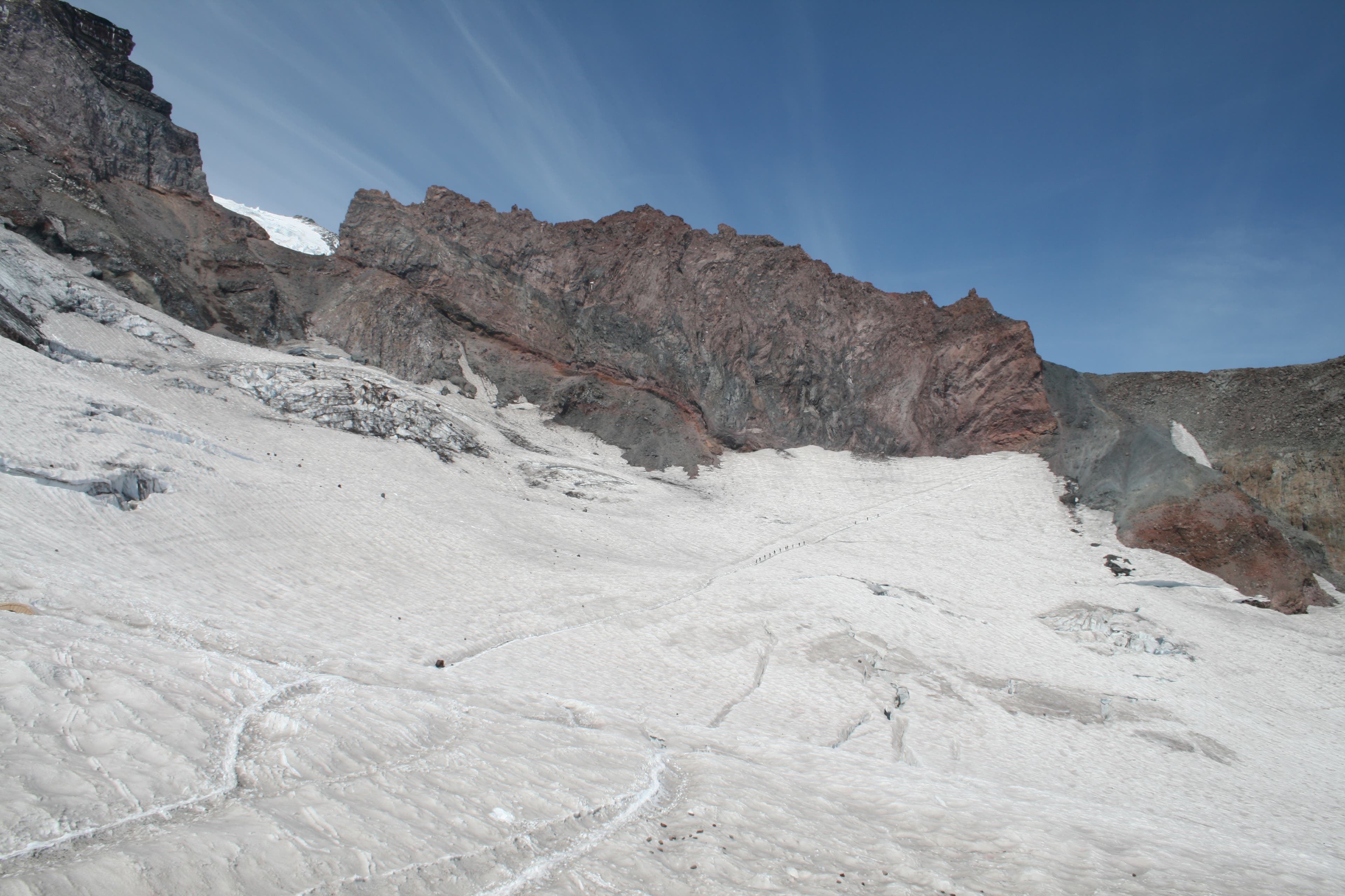
Up next: Ascend 1,440 feet in the next mile. Take your time: Crevasses (roughly two to four feet wide) become more prevalent the higher you climb. Follow the most obvious path across the snowfield (look for wire wands with florescent tape that mark the best route; give a wide berth to small holes in the snow). As you near Camp Muir, the blue tints of the Nisqually Glacier become apparent. Listen for the loud cracking sounds of massive, jumbled blocks of ice calving off the glacier.
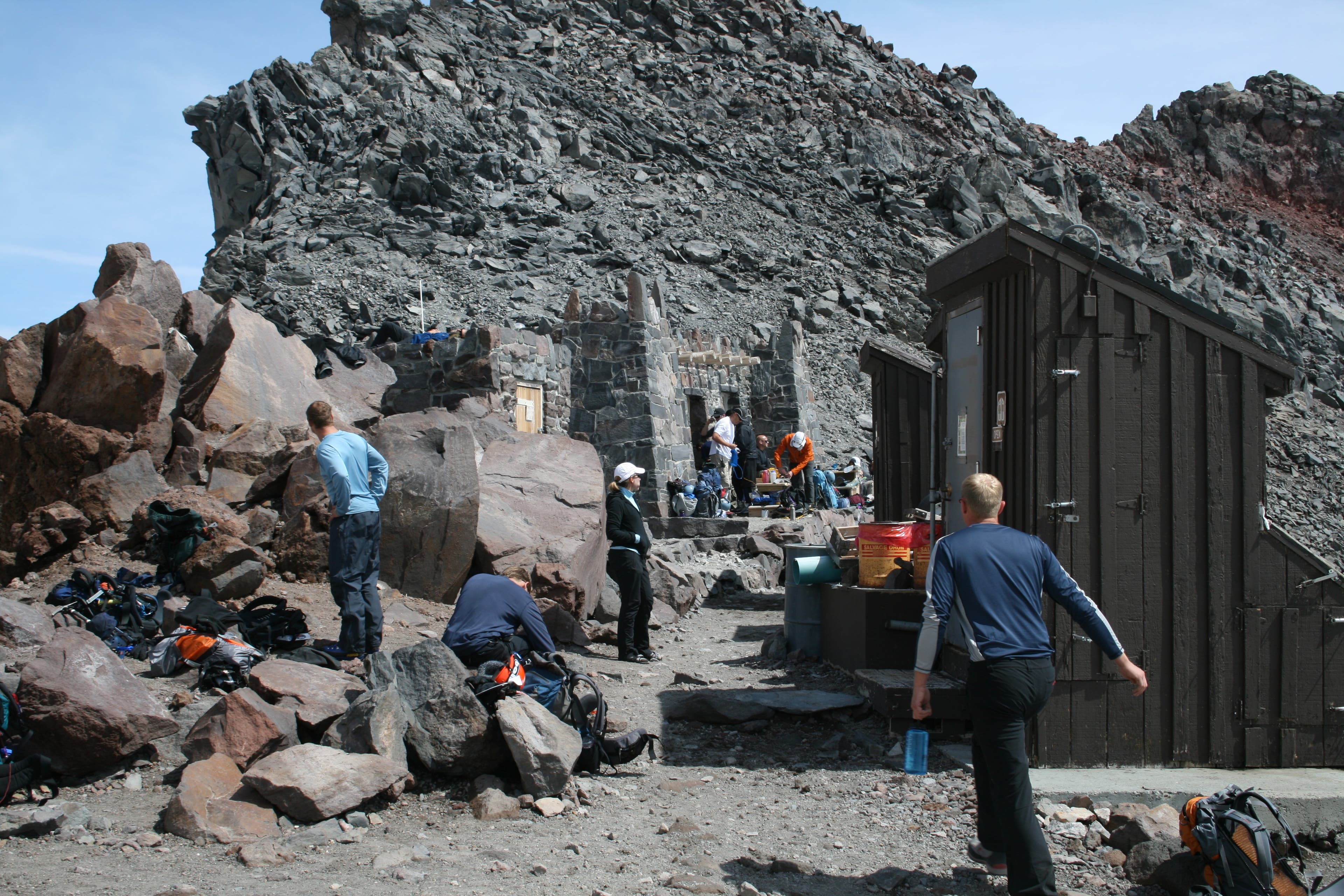
After 4.2 miles, drop your pack at Camp Muir. Perched between the Muir Snowfield and the Cowlitz Glacier, this 10,080-foot basecamp consists of a ranger station and a rock warming hut. In summer, the camp can be bustling with climbers and dayhikers. Stake out a little patch of rock and savor hard-earned views of 12,281-foot Mt. Adams’s flat-topped summit, the Tatoosh spires to the south, the Cowlitz Glacier, and Cathedral Rock. Descend the same route back to the trailhead.
INFO For information on permits, current trail and camp conditions, and wilderness guidelines, go to nps.gov/mora/planyourvisit/wilderness-camping-and-hiking.htm.
PERMIT A wilderness permit is required for all overnight camping in the backcountry. Reservations requests accepted by fax or mail, starting on March 15th of each year ($20/reservation). Download form at nps.gov/mora/planyourvisit/wilderness-reservation-information.htm.
CONTACT Mt. Rainier National Park, (360) 569-2211; nps.gov/mora
-Mapped by David Tate
Trail Facts
- Distance: 13.5
Waypoints
MUR001
Location: 46.786338, -121.735807
Start at the upper parking area, next to the Paradise Jackson Visitor Center, and follow the wide paved path northeast. Stop at the visitor center for general information, exhibits, guided ranger programs, bookstore, and cafeteria. Recommended gear: Mountaineering boots, crampons, and trekking poles.
MUR002
Location: 46.787041, -121.735017
Turn left off the main footpath onto the signed Skyline Trail, a well-worn dirt trail directly across from the ranger station. Climb northwest.
MUR003
Location: 46.788358, -121.736153
Continue straight on Skyline Trail at the four-way junction. A spider web of trails crisscrosses the meadows of Paradise Park, where violet patches of lupine and bright red Indian paintbrush drown out the grass in July and August.
MUR004
Location: 46.78878, -121.736903
Keep straight at the four-way intersection, following signs for Camp Muir and Skyline Trail. Resident marmots may track your progress from the tops of armchair-size boulders.
MUR005
Location: 46.794118, -121.736227
Crest a grassy ridgeline separating calf-deep Dead Horse and Edith Creeks; continue on Skyline Trail.
MUR006
Location: 46.798185, -121.735372
Pass the trail junction to Dead Horse Creek. Continue straight on Skyline Trail.
MUR007
Location: 46.799622, -121.73499
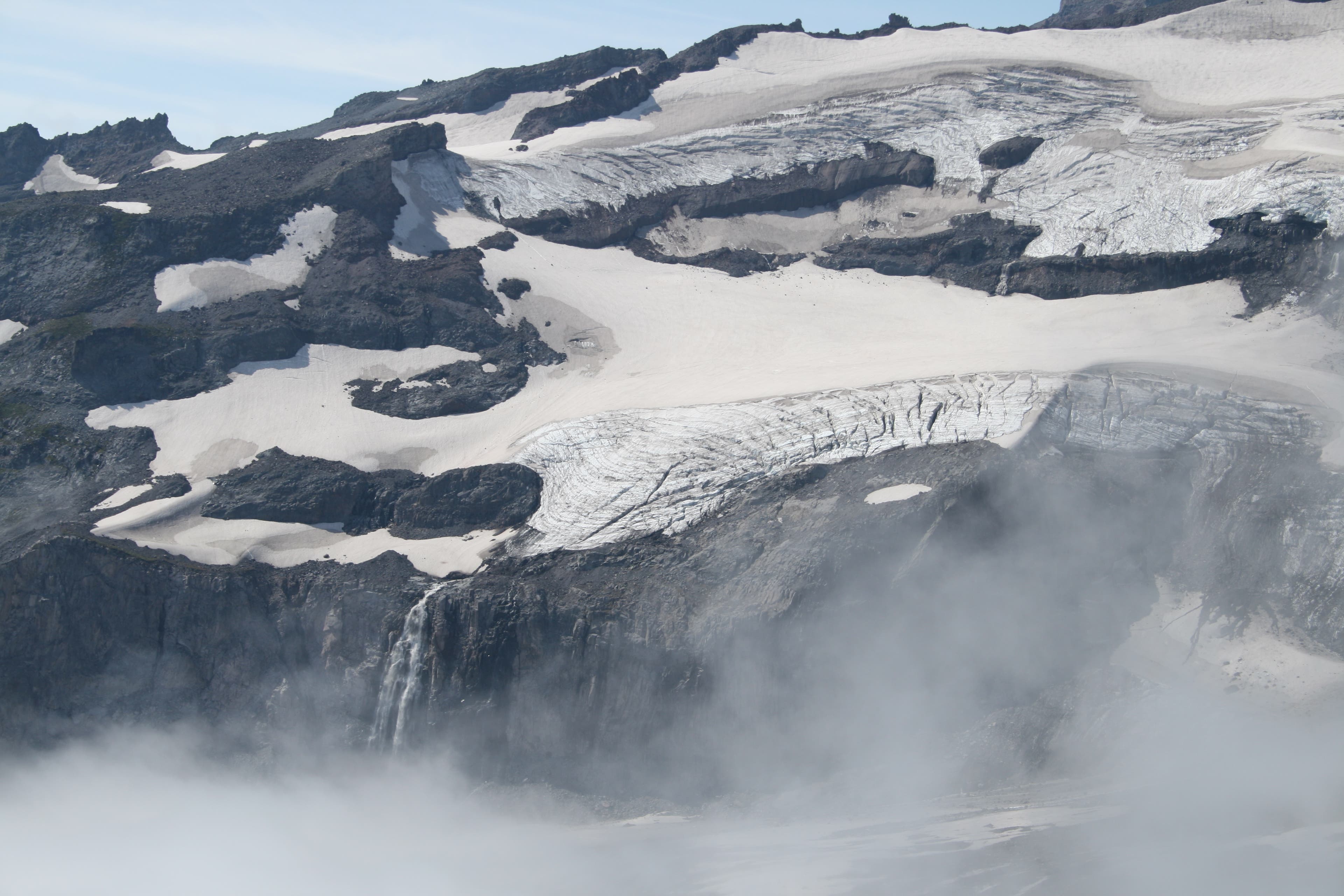
You’ve got two options here: 1) Bear left to crest Glacier Vista, a 6,336-foot ridgetop high above a valley scored by the Nisqually Glacier to the west (across the chasm of ice, thinly braided waterfalls flow out of the Wilson Glacier and over the adjacent cliffs); 2) Bypass the ridgetop by veering right. The trails reconnect just ahead.
MUR008
Location: 46.801466, -121.734712
The two trails reconnect here; continue straight.
MUR009
Location: 46.803433, -121.732222
Turn left at this signed junction toward Pebble Creek and Camp Muir. This is the last sign for Camp Muir; follow signs for Pebble Creek ahead. Note: If you miss this turn, you’ll continue heading southeast on Skyline Trail. Although it eventually rejoins Pebble Creek Trail, it will add time and mileage to your hike.
MUR010
Location: 46.804841, -121.730983
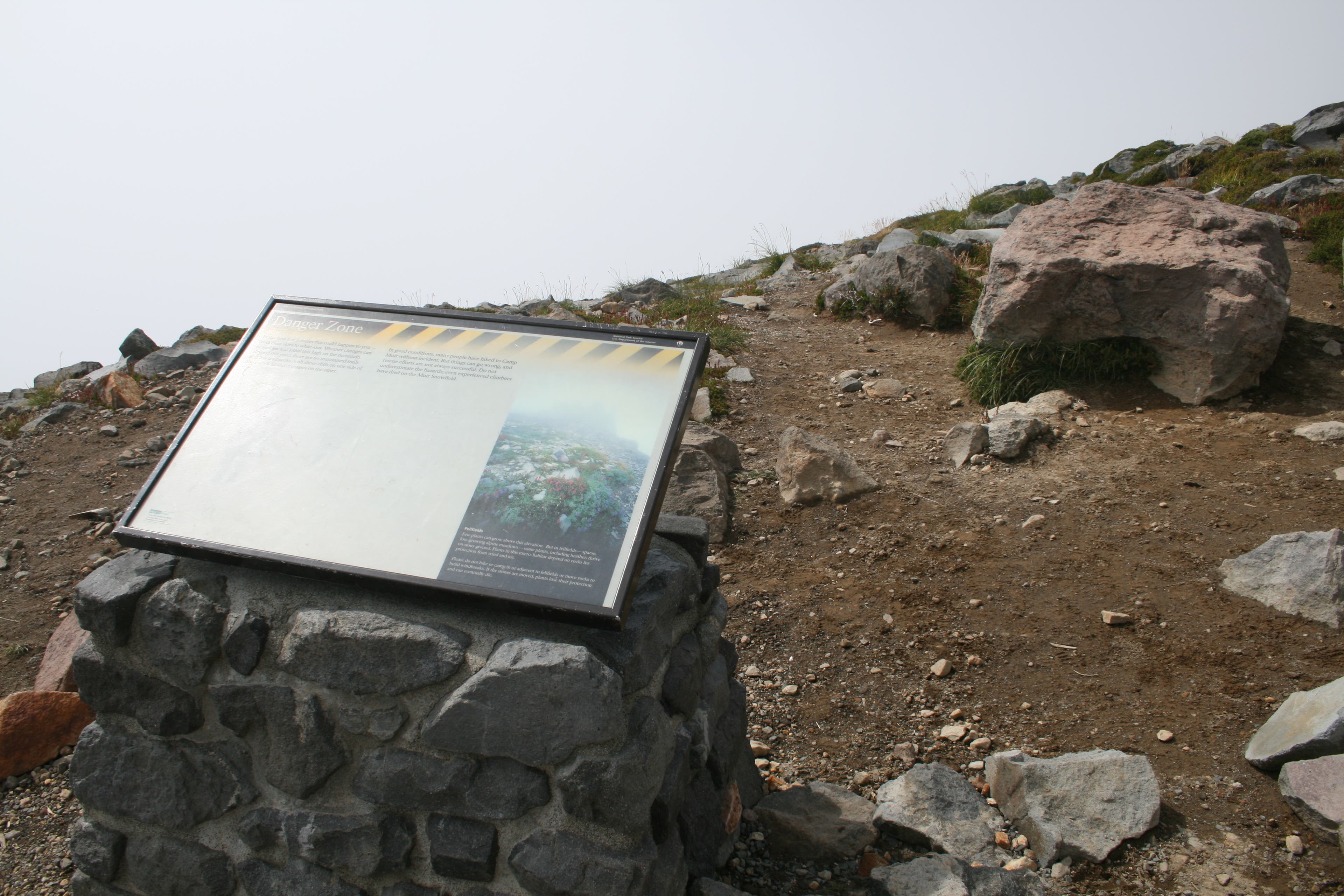
Pass a warning sign that lists the possible dangers of continuing on to Camp Muir. Caution: You may encounter whiteout conditions, crevasses, and other hazards ahead.
MUR011
Location: 46.805601, -121.728934
Continue straight at the Pebble Creek-Skyline Trail junction, marked by a sign on the right.
MUR012
Location: 46.808852, -121.726629
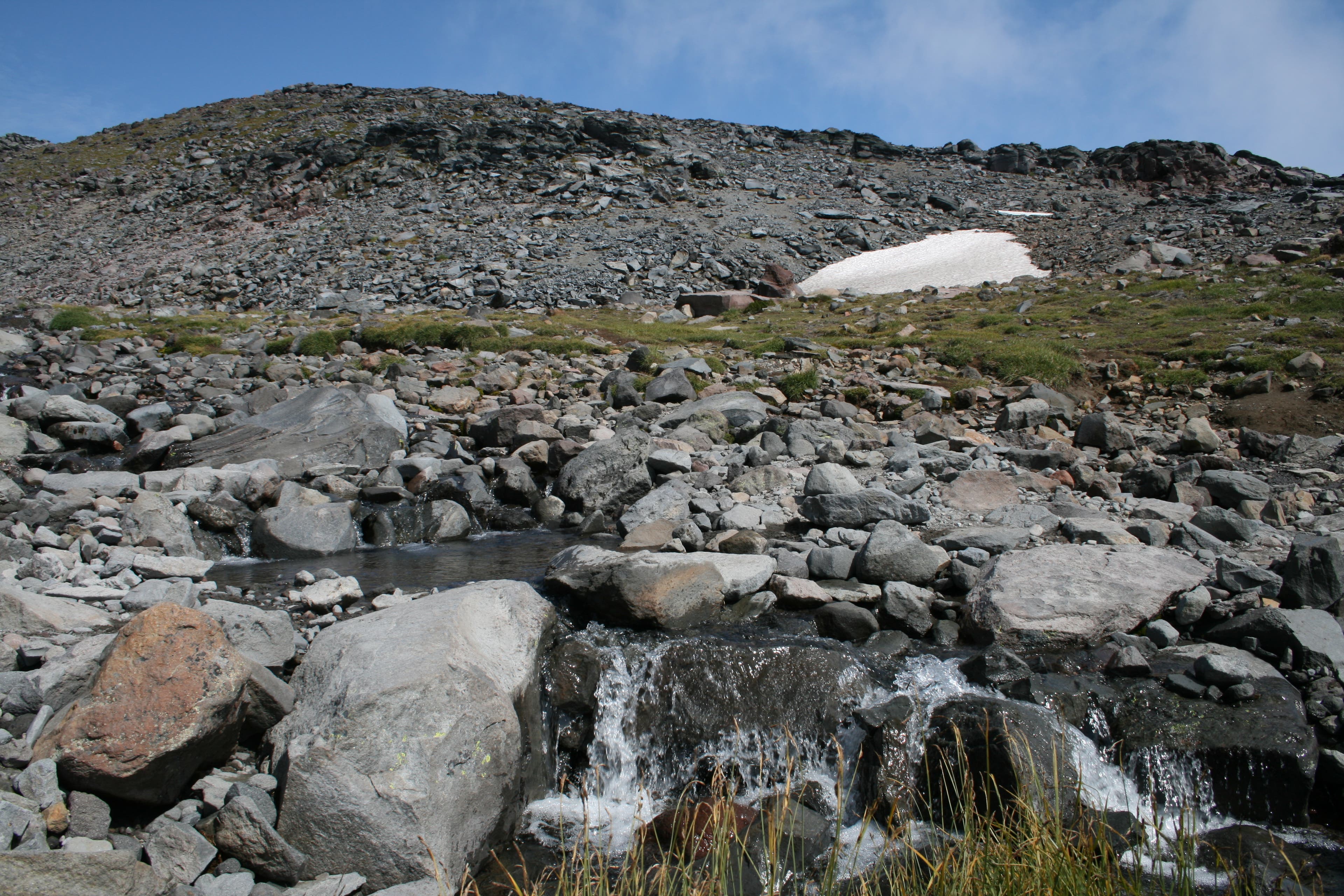
Rock hop across Pebble Creek and continue climbing north. Keep 7,385-foot McClure Rock, which resembles a pyramid-shaped pile of plywood-sized rock slabs, to your right.
MUR013
Location: 46.809859, -121.725779
The official trail ends near 7,300 feet. The remaining, upward trudge to Camp Muir crosses permanent snowfields interspersed with rock, sand, and piles of pumice and volcanic ash that turn the snow a muddy red in places.
MUR014
Location: 46.822945, -121.729128
At 8,640 feet, round a rock promontory, which forms the leading edge of a ridge that connects to the well-named 9,584-foot Anvil Rock (half a mile to the north-northeast). Keep this ridge to your right as you climb up the Muir Snowfield, an arm of the Nisqually Glacier. In .3 mile, pass Moon Rocks, a mounded island of boulders and rubble usually swept free of snow by the wind. (Nav tip: Whiteouts can happen here any time. To stay on course, remember that the compass bearing from Pebble Creek to Moon Rocks is 355�� true north.) In late summer, the exposed ice of the Muir Snowfield melts into small rivulets of water; attach crampons for better grip. Up next: Ascend 1,440 feet in the next mile.
MUR015
Location: 46.832038, -121.730114
Take your time: Crevasses (roughly two to four feet wide) become more prevalent the higher you climb. Follow the most obvious path across the snowfield (look for wire wands with florescent tape that mark the best route; give a wide berth to small holes in the snow). As you near Camp Muir, the blue tints of the Nisqually Glacier become apparent. Listen for the loud cracking sounds of massive, jumbled blocks of ice calving off the glacier.
MUR016
Location: 46.835421, -121.732676
Camp Muir: Perched between the Muir Snowfield and the Cowlitz Glacier, this 10,080-foot basecamp consists of a ranger station and a rock warming hut. In summer, the camp can be bustling with climbers and dayhikers. Stake out a little patch of rock and savor hard-earned views of 12,281-foot Mt. Adams’s flat-topped summit, the Tatoosh spires to the south, the Cowlitz Glacier, and Cathedral Rock. Descend the same route back to the trailhead.
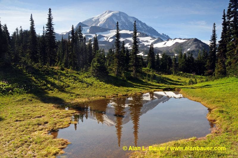
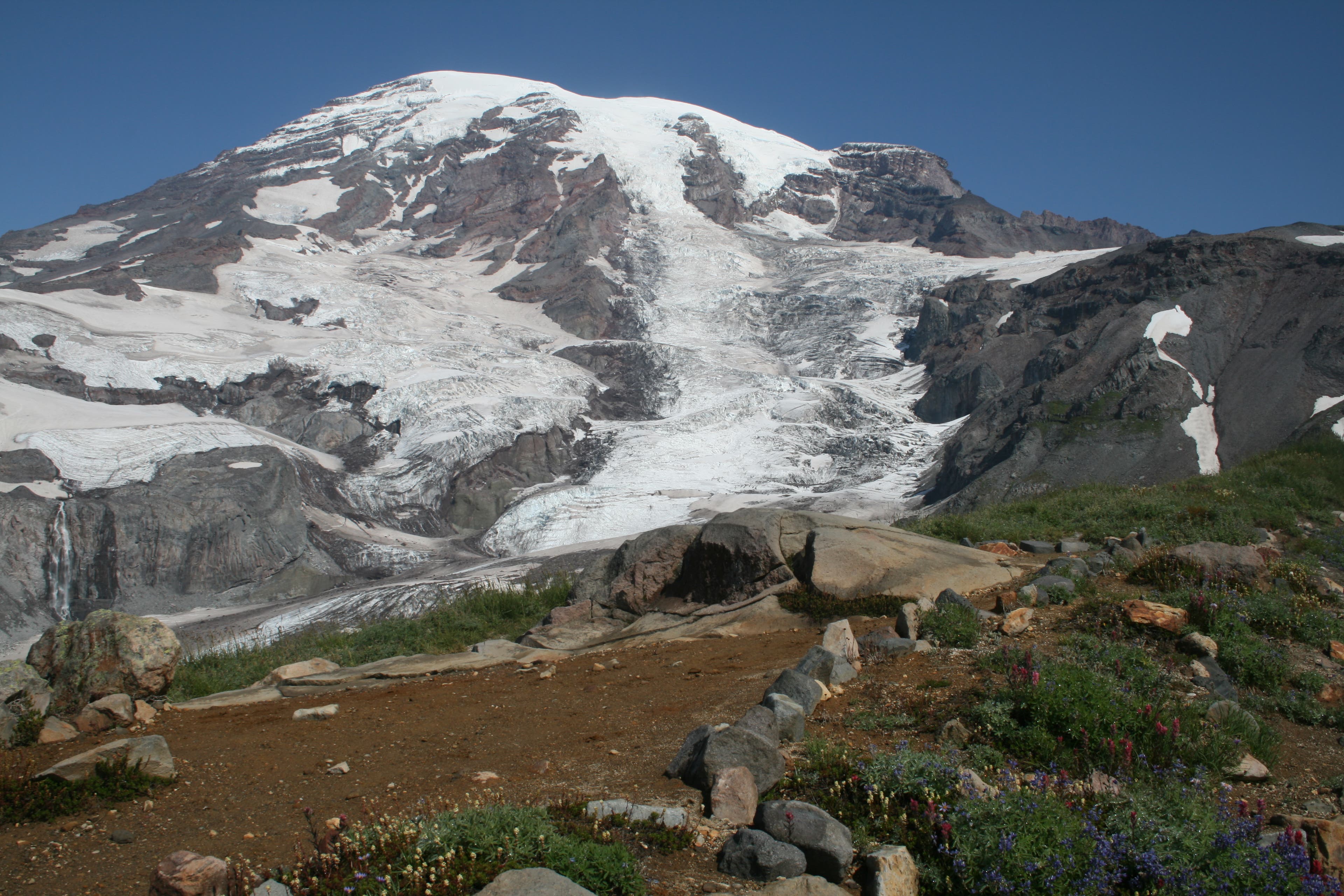
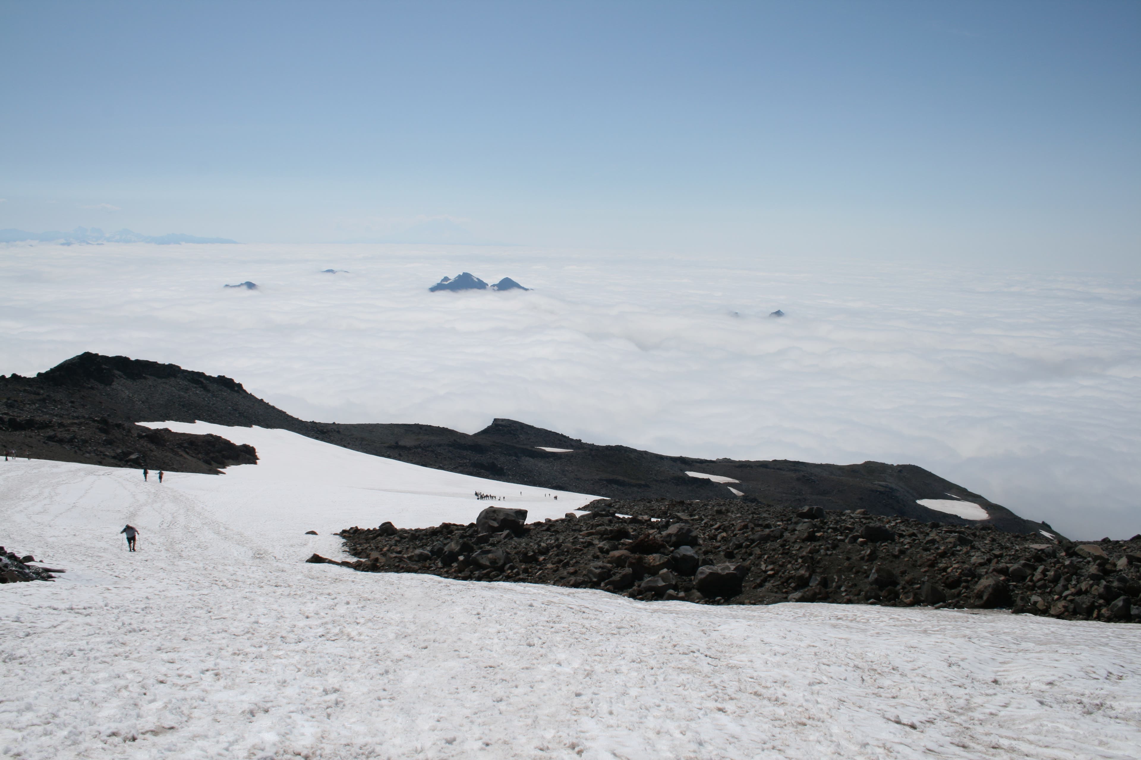
Mount Rainier
Location: 46.807959, -121.727253
Finally above the clouds, the views of the mountain are spectacular.
Paradise Jackson Visitor Center
Location: 46.786333, -121.73576
Paradise Park
Location: 46.789265, -121.737573
Even though heavy mist cloaks the meadows of Paradise Park, their vibrant colors still shine through.
Hoary Marmot
Location: 46.795137, -121.735562
A marmot stands guard in the meadows.
Warning Sign
Location: 46.804858, -121.730838
A warning sign reminds hikers of the perils of traveling onto the Muir Snowfield.
Pebble Creek
Location: 46.80886, -121.72655
Waterfall on Wilson Glacier
Location: 46.811152, -121.725552
Just visible through the mist, a waterfall pours over a cliff on the Wilson Glacier.
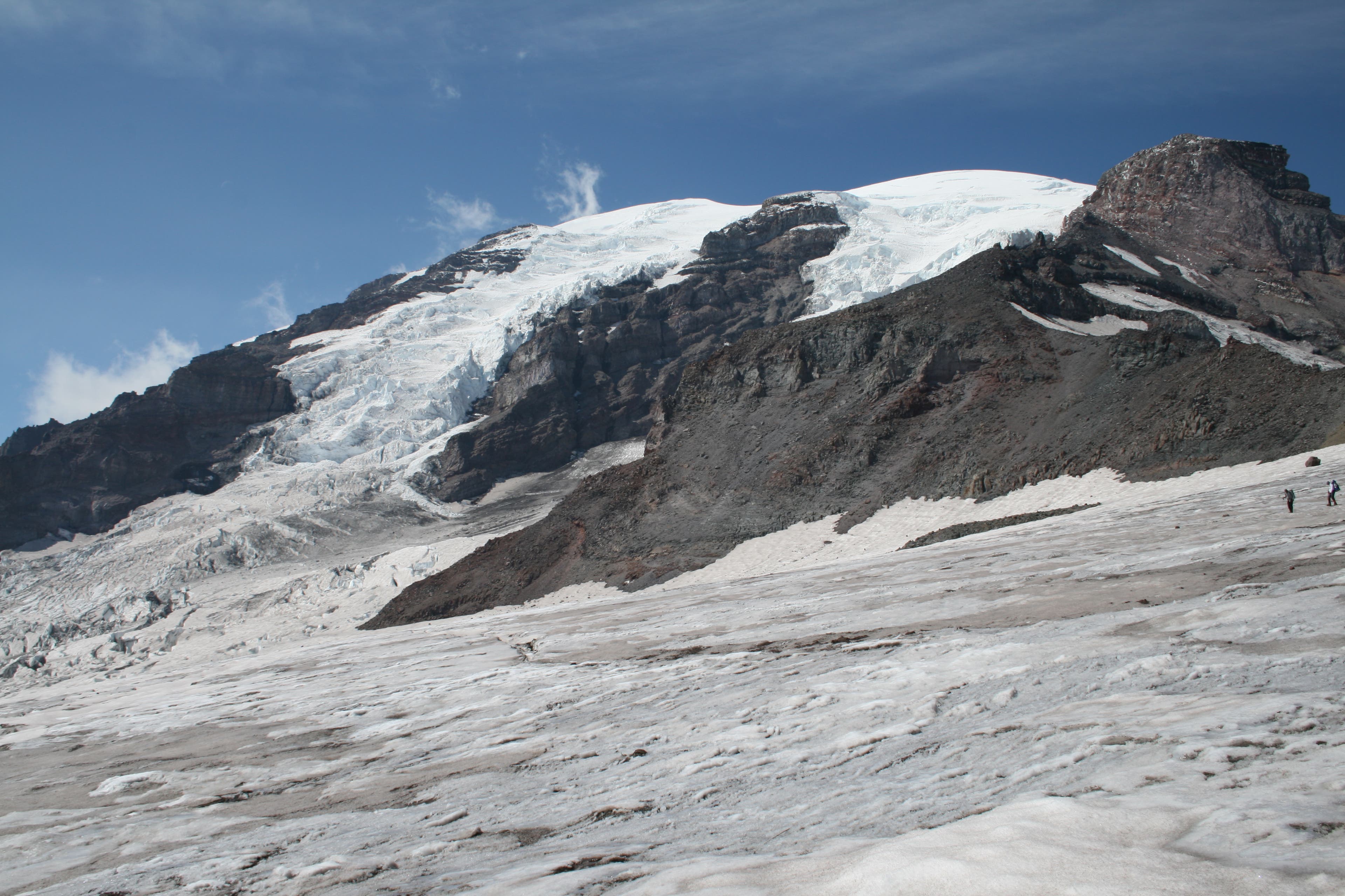
Mount Rainier
Location: 46.816104, -121.724137
As viewed from the snowfields on the way up.
Crevasse
Location: 46.832044, -121.730015
You may encounter crevasses on the Muir Snowfield.
Snowfields
Location: 46.822962, -121.729036
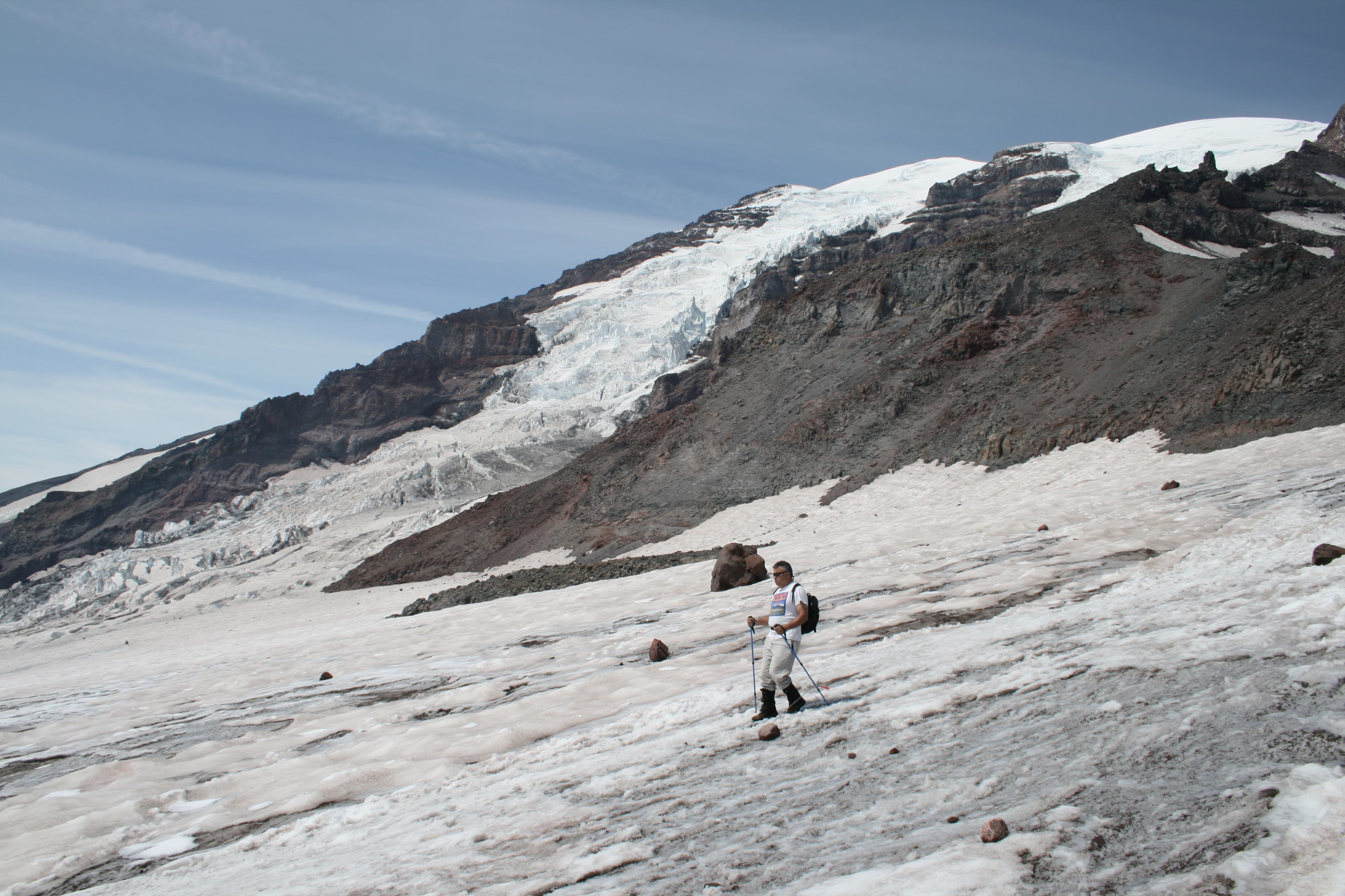
Muir Snowfield
Location: 46.833537, -121.731579
The surface of ice is visible under the thin crust of snow, with the Nisqually Glacier in the background.
Nisqually Glacier
Location: 46.834306, -121.731876
Views across the Cowlitz Glacier
Location: 46.835464, -121.732478
You can also see the climbing route across Cathedral Rocks.
Warming Hut at Camp Muir
Location: 46.835524, -121.732202
The warming hut is discernible by the crown of rocks along its roof line.
Glissade
Location: 46.829287, -121.729713
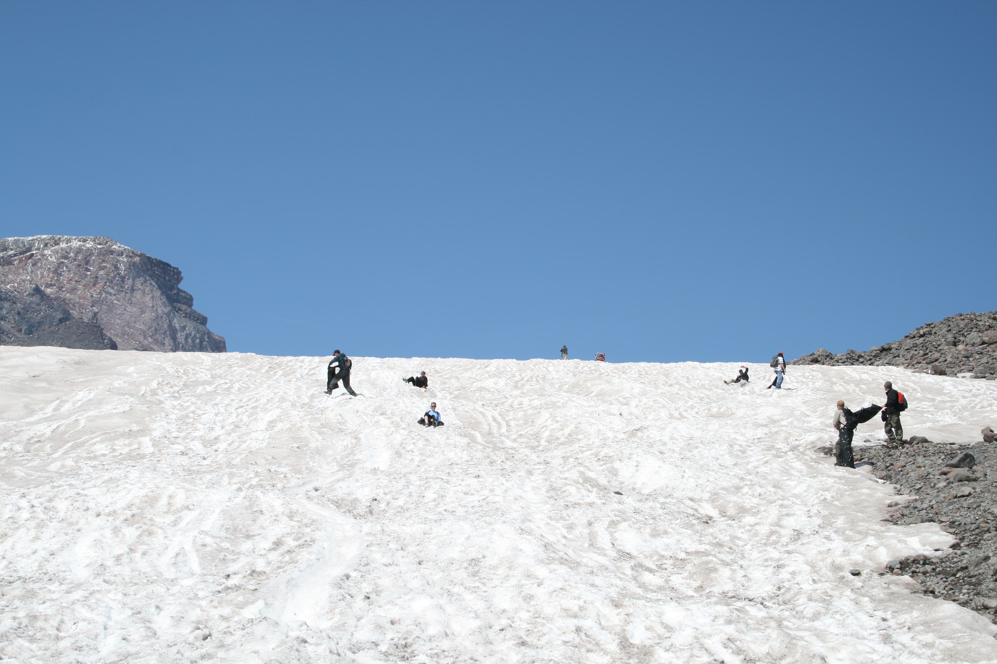
After descending the steep sections of the Muir Snowfield, some hikers prefer to glissade down.