Mount Rainier National Park: Burroughs Mountain via Glacier Basin Trail
Although this 12.5-mile loop can easily be done in a day, savor it over the course of a weekend. The numerous side trips along this route lead to stunning views of glaciers, expansive valleys, and Washington’s signature mountain. Start at the Glacier Basin trailhead in the White River Campground, and hike west on a wide, smooth trail that was reconstructed after the 2007 washout.
At mile one, fork left at the junction with Emmons Moraine Trail for a .4-mile (one-way) detour to a viewpoint overlooking the 4.3-square-mile Emmons Glacier (the largest glacier in the Lower 48). Backtrack to the main trail and turn left for a gradual climb up the valley. At mile 3.2, continue straight at the 3-way junction with Burroughs Mountain/Sunrise Trails, and continue another 0.7 mile to the Glacier Basin Camp. A half-mile walk farther up the valley leads to five-star views of The Wedge and the entire basin.
The next day, return to the junction with Burroughs Mountain/Sunrise Trails, and turn left. It’s a grueling, two-mile climb, first on short, forested switchbacks, then on open slopesides with stunning views of Rainier’s northeast flank. The grade lessens for the last 0.75-mile stretch to the summit of Second Burroughs. Drop your pack for a snack or early lunch, and soak up the views; clear days offer 360-degree views of Rainier towering to the south, and north to Glacier Peak and beyond.
Next, descend Burroughs Mountain, passing through alpine tundra for the next mile; fork left at a junction to Frozen Lake. Here, more side trip options are available (descend 2.2 miles west to Berkley Park in the next valley, or hike 1.3 miles north to the Mt. Freemont Lookout). To continue the loop, turn southeast on the Wonderland Trail, following signs for Shadow Lake. The trail descends a mile through pleasant alpine meadows. Spend the second night at Sunrise Camp.
The next morning, hop back on the Wonderland Trail, and follow it east, then north, curving around Shadow Lake to a junction with the Silver Forest Trail. Turn right, staying on the Wonderland, for a 2.6-mile, bone-jarring descent that drops 2,000 feet in elevation back to the White River Campground.
INFO For information on permits, current trail and camp conditions, and wilderness guidelines, go to nps.gov/mora/planyourvisit/wilderness-camping-and-hiking.htm.
PERMIT A wilderness permit is required for all overnight camping in the backcountry. Reservations requests accepted by fax or mail, starting on March 15th of each year ($20/reservation). Download form at nps.gov/mora/planyourvisit/wilderness-reservation-information.htm.
CONTACT Mt. Rainier National Park, (360) 569-2211; nps.gov/mora
-Mapped by Eli Boschetto, Bosco Mountain Photo
Trail Facts
- Distance: 20.2
Waypoints
GLA001
Location: 46.901595, -121.645968
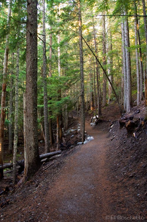
The loop begins at the White River Campground. Hike west up the valley on the newly rebuilt Glacier Basin Trail, a smooth, wide path (based on 1930’s CCC standards).
GLA002
Location: 46.900939, -121.658156
Stop at this switchback to watch a cascading waterfall through the trees.
GLA003
Location: 46.900561, -121.66307
Cross a cascade.
GLA004
Location: 46.9, -121.665234
At mile one, bear left on Emmons Moraine Trail to a viewpoint of the Emmons Glacier. At 4.3 square miles, it’s the largest glacier in the Lower 48.
GLA005
Location: 46.899363, -121.664684
Turn right to reach the viewpoint of Emmons Glacier. Look down for views of a milky blue lake.
GLA006
Location: 46.898047, -121.670752
Stop for more wide-open views of Emmons Glacier. The trail continues up the moraine, then descends to the toe of the glacier; explore at will, then return to the Glacier Basin Trail to continue the loop.
GLA007
Location: 46.89987, -121.668136
Cross a rockfall slope and a wide creek.
GLA008
Location: 46.896859, -121.678471
Pass debris from leftover mining ruins.
GLA009
Location: 46.894515, -121.692298
Continue straight at the 3-way junction with Burroughs Mountain Trail for an out-and-back into Glacier Basin.
GLA010
Location: 46.894059, -121.694462
Cross several cascades on wooden bridges.
GLA011
Location: 46.888862, -121.700265
A side trail on the right (north) leads to a Glacier Basin restroom.
GLA012
Location: 46.888854, -121.700774
Glacier Basin Camp: Use designated sites; water is accessible via side trails.
GLA013
Location: 46.888811, -121.702006
The maintained trail ends here; backtrack to GLA009 and turn left onto Burroughs Mountain Trail. Optional: Hikers can pick up the use trail, which continues 0.5-mile to The Wedge, and beyond to Inter Glacier and climbing camps.
GLA014
Location: 46.895466, -121.695621
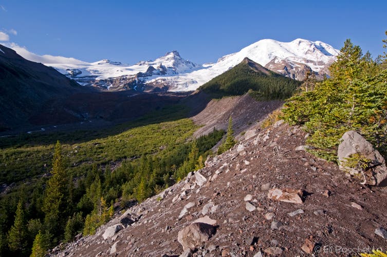
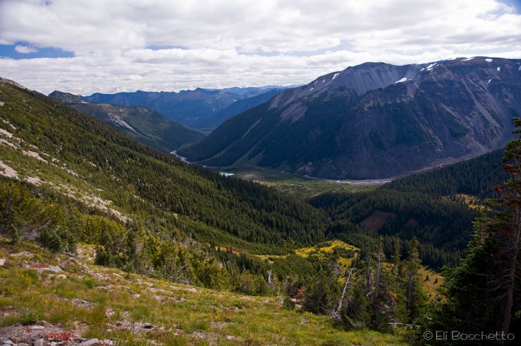
Begin a steep switchback climb to the Burroughs Mountain ridgeline. At the top of the switchbacks, turn around for big views of the White River Valley, Emmons Glacier, and Little Tahoma.
GLA015
Location: 46.90489, -121.695036
Continue straight (northeast) at the junction with Burroughs Trail.
GLA016
Location: 46.906272, -121.689827
Second Burroughs: Take in 360-degree views of Mt. Rainier and Glacier Peak to the north from this 7,402-foot summit.
GLA017
Location: 46.9108, -121.679855
Fork left and continue on Burroughs Trail at the junction with Rim Trail. Head northeast to Frozen Lake.
GLA018
Location: 46.91758, -121.668491
Make a hard right (southeast) onto the Wonderland Trail. Optional: Turn left (west) for a 2.2-mile side trip to Berkley Park; or continue straight ahead (north) for a 1.3-mile trip to Mt. Freemont Lookout.
GLA019
Location: 46.915697, -121.659272
Turn right (south) toward Sunrise Camp at the junction with the service road.
GLA020
Location: 46.911123, -121.660266
Sunrise Camp: Use designated sites (there are restrooms here). Side trip options: Hike west 1.3 miles for Rim Trail views; or backtrack to GLA019 and hike east on Sunrise Trail to visitor center.
GLA021
Location: 46.910611, -121.659995
Turn left (east) on the Wonderland Trail at this junction with Rim Trail.
GLA022
Location: 46.910706, -121.658853
Pass a spur trail on the left, which leads to Shadow Lake.
GLA023
Location: 46.912807, -121.65552
A large, picturesque meadow sits above Shadow Lake; watch for wildlife.
GLA024
Location: 46.914591, -121.650141
Turn right (south) on the Wonderland Trail at the junction with Silver Forest Trail. Prepare for a bone-jarring descent ahead (you’ll drop 2,000 feet in 2.6-miles).
GLA025
Location: 46.912165, -121.649551
Caution: This cascade crossing is narrow, loose, and rocky.
GLA026
Location: 46.902225, -121.643779
Turn right to return to the trailhead.
Lakelet in Glacier Basin
Location: 46.889821, -121.701393
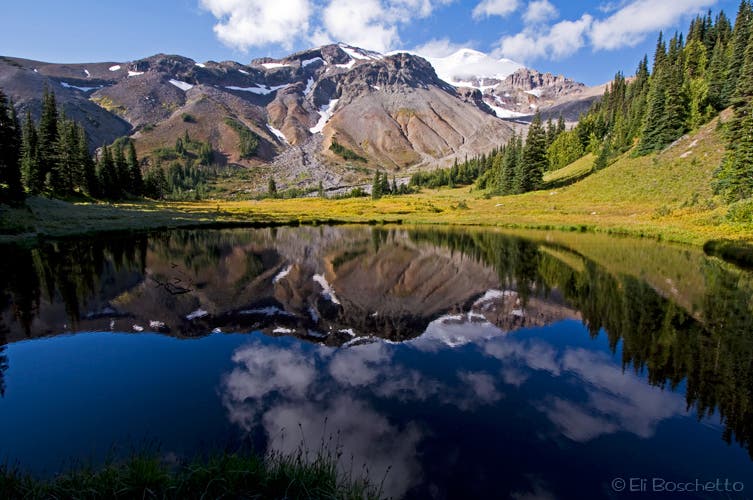
A small lakelet on the west side of Glacier Basin presents dramatic reflections of Mt. Rainier in the morning’s still water.
Glacier Basin Trail
Location: 46.90117, -121.649272
Emmons Glacier
Location: 46.898575, -121.668735
From the Emmons Moraine Trail, get wide-angle views of the Emmons Glacier, Little Tahoma, and Mt. Rainier.
Glacier Basin
Location: 46.888838, -121.701779
The official trail ends in Glacier Basin, but a climber’s route continues up the valley to The Wedge, and higher climber’s camps.
Burroughs Mountain Trail
Location: 46.898472, -121.700149
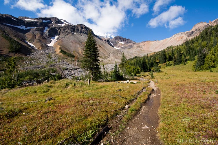
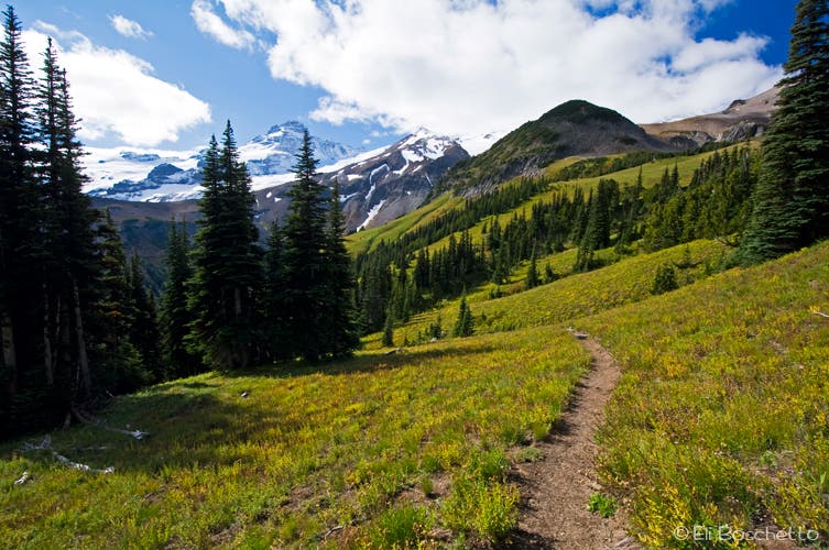
After a series of grueling switchbacks, the trail to Burroughs Mountain passes through open meadows with views of Mt. Rainier.
White River
Location: 46.900495, -121.697574
From Burroughs Mountain, view wide panoramas of the White River Valley far below.
Burroughs Mountain
Location: 46.906067, -121.692767
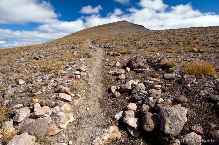
Climb upward across alpine tundra to high viewpoints atop Burroughs Mountain.
Teddy
Location: 46.914818, -121.659154
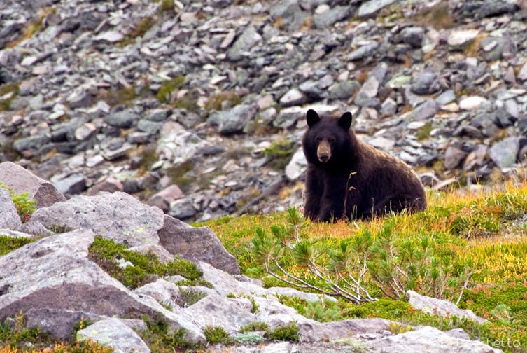
Keep your eyes peeled for black bears rooting and munching on summer huckleberries in the meadows below Frozen Lake.
Mountain Meadow
Location: 46.913198, -121.659122
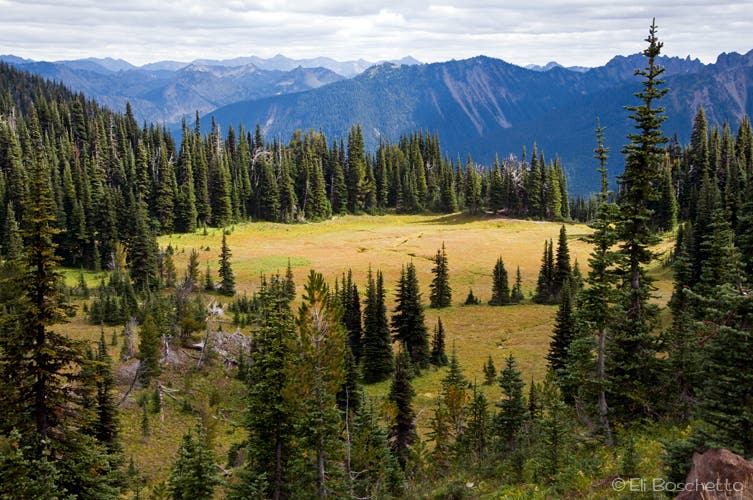
From the Wonderland Trail, view this wide meadow with meandering streams on the way to Shadow Lake.