Mount Rainier National Park: Burroughs Mountain Loop

This worthy, 6.1-mile dayhike links some of the most scenic trails in the Sunrise area for big views across the park. Start at the southwest corner of the parking lot near the Sunrise Ranger Station, and follow the gravel access road for less than half a mile to where the road forks. Stay left for a gradual descent through alpine meadows that feature southwest views of Mount Rainier. At the end of the road, stay left, heading south toward Shadow Lake and Sunrise Camp (several campsites and a covered shelter).
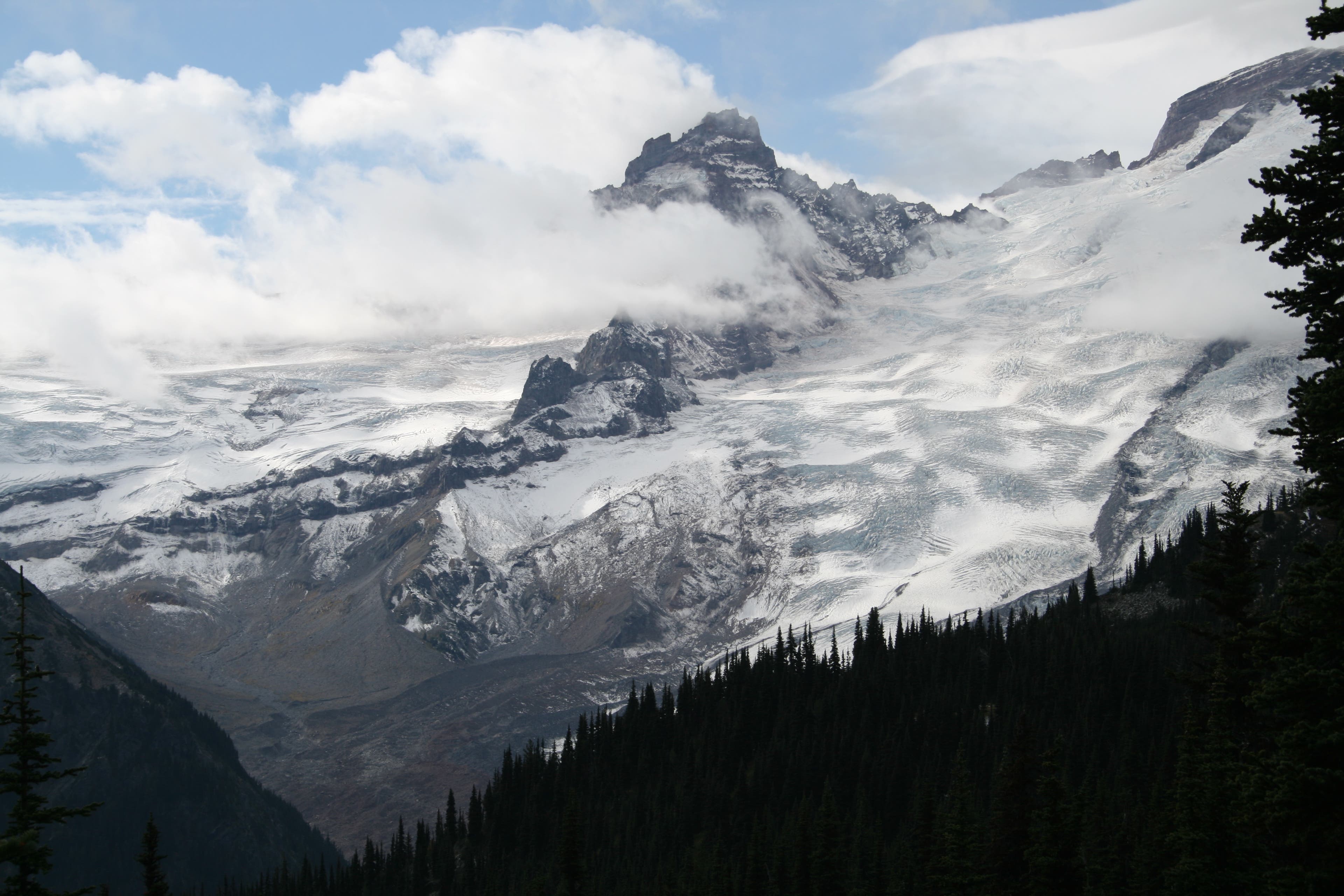
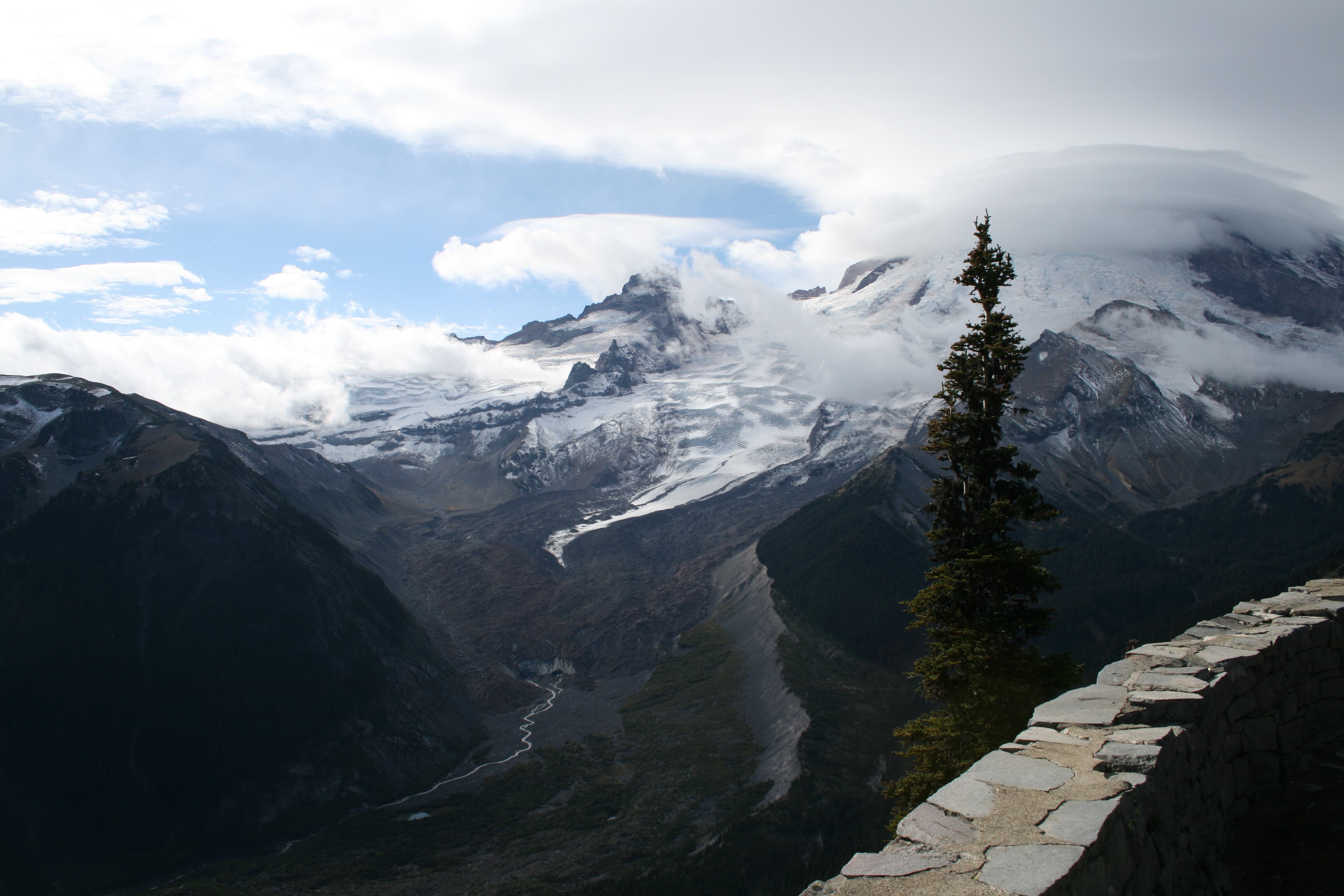
Just past the last campsite, turn right for a climb to Emmons Glacier overlook, a 6,400-foot perch with larger-than-life views of Little Tahoma Peak, the Emmons Glacier (the largest glacier in the Lower 48), and Steamboat Prow, a triangular formation of rock that divides the Emmons and Winthrop Glacier. Look for the headwaters of the White River—a small ribbon of water flowing from the snout of the Emmons Glacier.
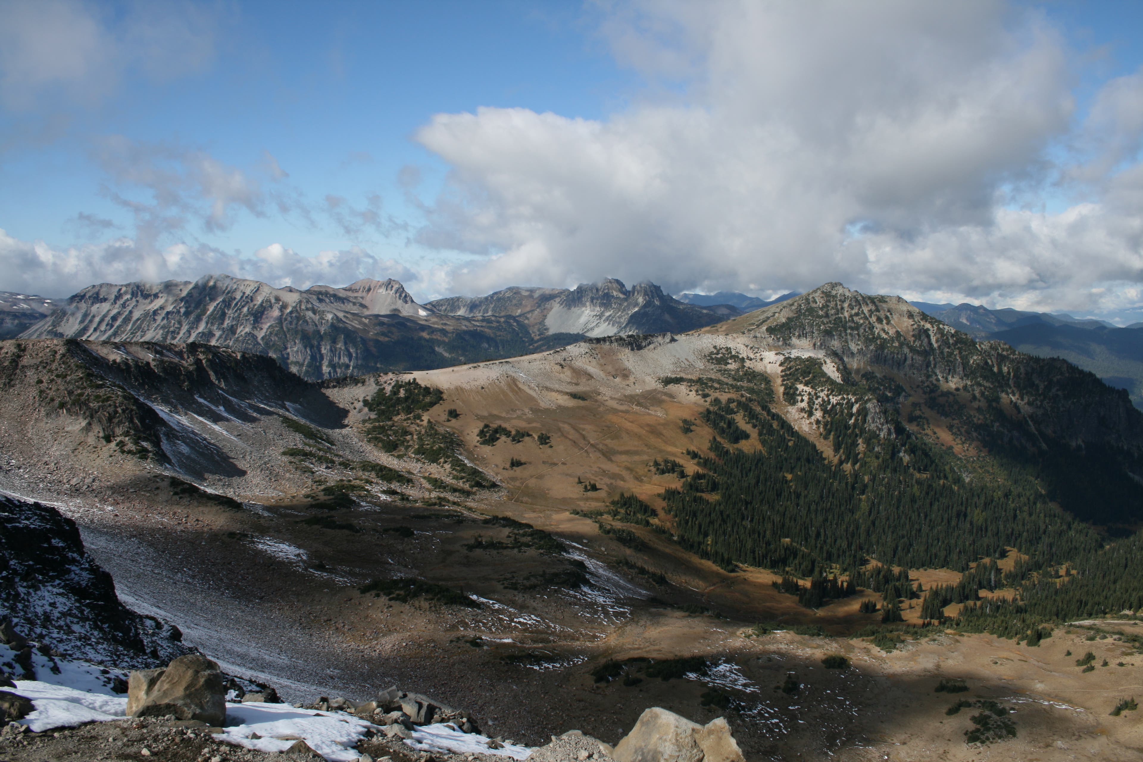
Next, traverse west along the ridge to the table-flat top of First Burroughs, one of three summits that dot the Burroughs Mountain ridgeline. To the north, Berkeley Park’s meadows are nestled between Skyscraper Peak and Mount Fremont. To the west-northwest, the couloirs on Old Desolate’s southeast face look like a large bear claw raked it from top to bottom.
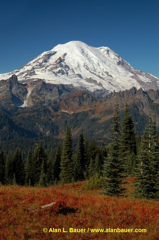
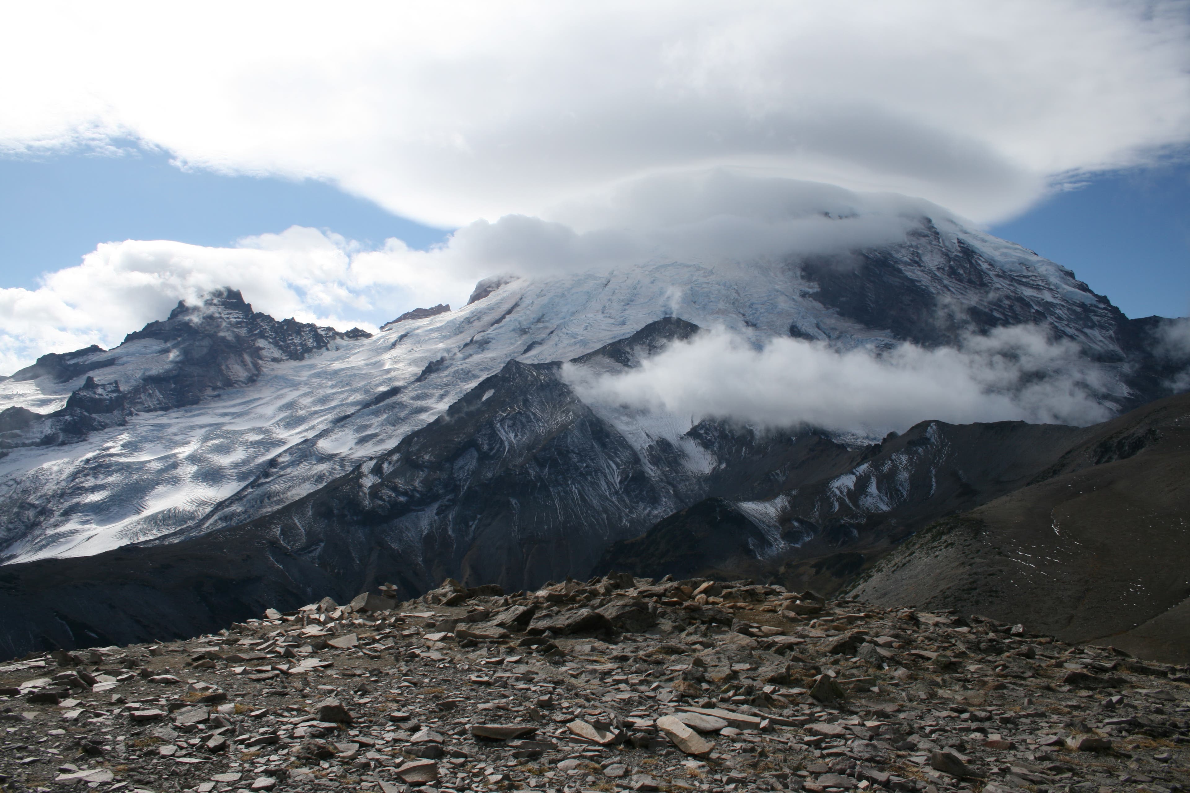
At mile 2.6, turn left at the T-junction and continue climbing to the top of wind-blown, 7,402-foot Second Burroughs. Find the round, rock throne that faces the mountain—and provides some protection from the wind—and soak up the commanding view of Rainier.
When you’re ready, turn around and retrace your steps to the last trail junction; stay straight and follow it down the north side of Burroughs to a 4-way trail junction at mile 4.6. Continue straight, following signs for Sourdough Ridge Trail and Frozen Lake. At mile 5.8, descend the Sourdough Ridge Trail, crossing through meadows surrounding the main facilities, and return to your car.
INFO For information on permits, current trail and camp conditions, and wilderness guidelines, go to nps.gov/mora/planyourvisit/wilderness-camping-and-hiking.htm.
PERMIT A wilderness permit is required for all overnight camping in the backcountry. Reservations requests accepted by fax or mail, starting on March 15th of each year ($20/reservation). Download form at nps.gov/mora/planyourvisit/wilderness-reservation-information.htm.
CONTACT Mt. Rainier National Park, (360) 569-2211; nps.gov/mora
-Mapped by David Tate
Trail Facts
- Distance: 9.9
Waypoints
BUR001
Location: 46.91407, -121.642814
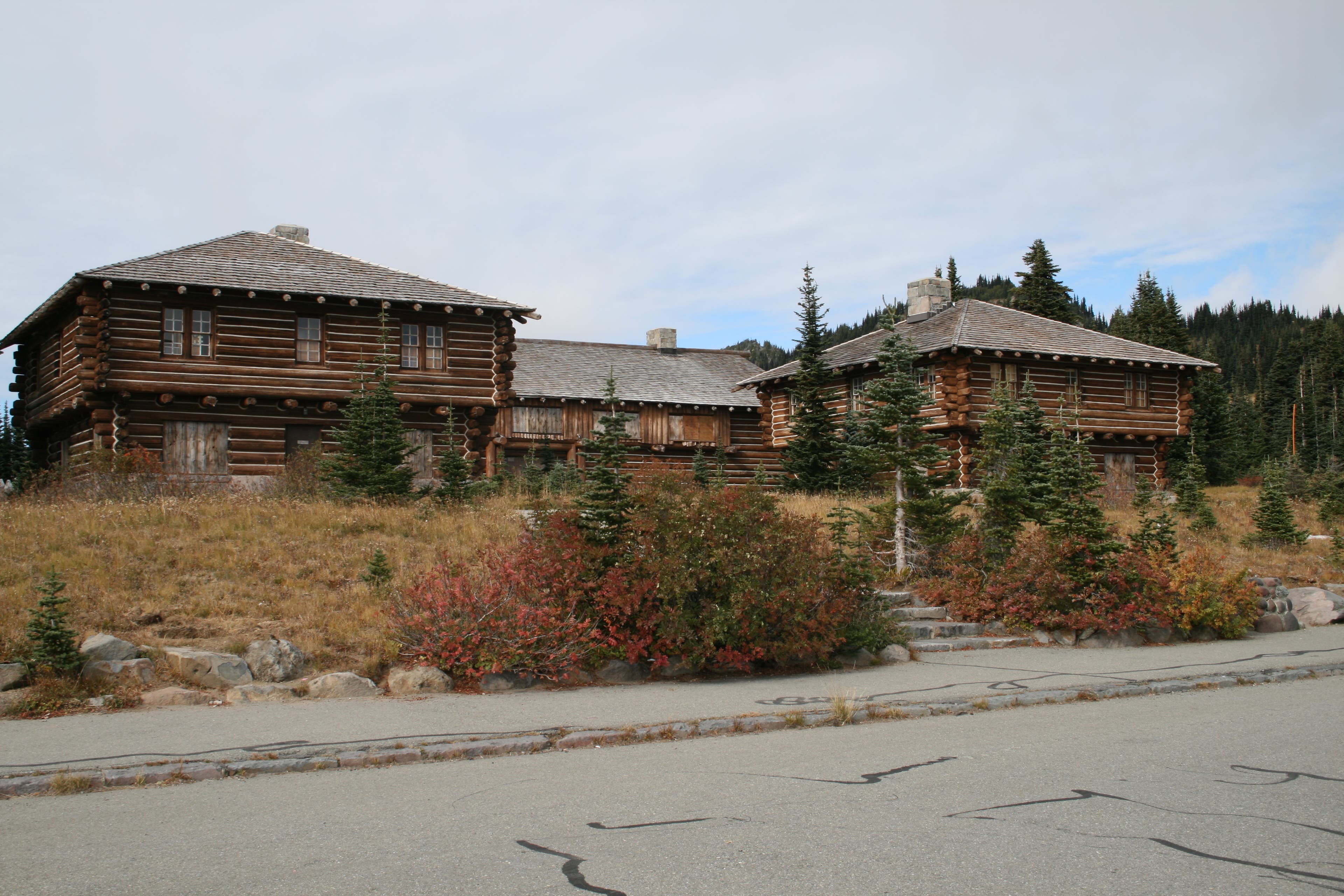
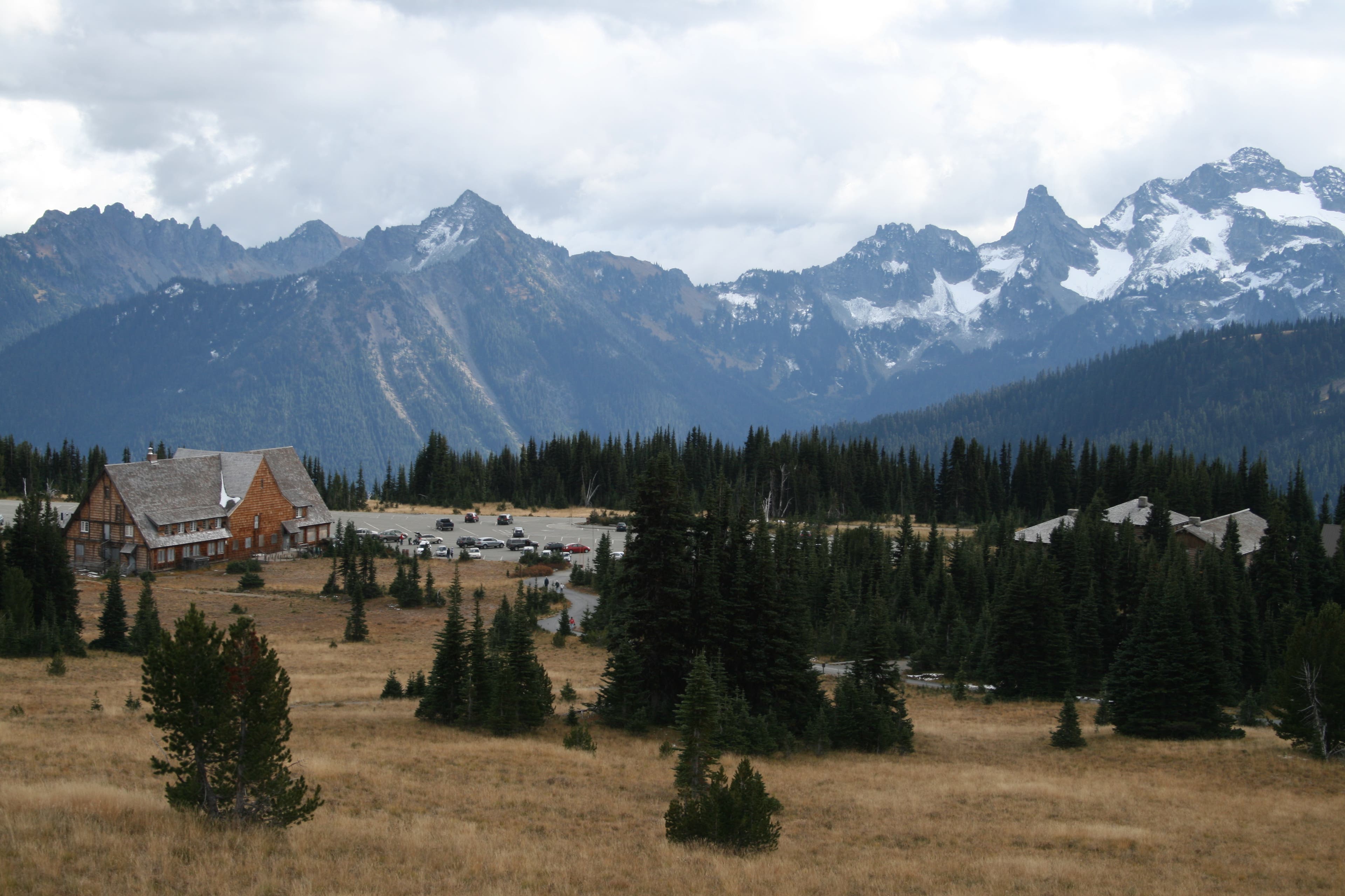
The trail begins at the southwestern end of the parking lot near the Sunrise Ranger Station (resembles a cavalry fort’s blockhouse). Follow it to the west.
BUR002
Location: 46.915309, -121.6487
Stay left on the lower road, following signs to Shadow Lake.
BUR003
Location: 46.91572, -121.659284
The road ends at this trail junction: stay left, heading south toward Shadow Lake.
BUR004
Location: 46.913982, -121.659068
Pass the side road leading to Sunrise Campground; continue heading south.
BUR005
Location: 46.910662, -121.65998
Just past the campground, you’ll come to another trail junction. Turn right, heading west.
BUR006
Location: 46.908457, -121.659748
Emmons Overlook: Stop for far-reaching views of Rainier and the Emmons Glacier; views stretch from the top of the mountain all the way down to the White River valley below.
BUR007
Location: 46.9102, -121.674163
Stop on First Burroughs for views of Mount Rainier. Continue straight at this 3-way, heading west.
BUR008
Location: 46.910772, -121.679871
Stay left at this 3-way trail junction and follow signs for Second Burroughs.
BUR009
Location: 46.906213, -121.689827
Crest Second Burroughs Mountain, which has a commanding view of Mount Rainier. Next, backtrack to BUR008 and continue straight.
BUR010
Location: 46.917544, -121.668584
Continue straight at this 4-way junction, and follow signs to Frozen Lake and Sourdough Ridge Trail.
BUR011
Location: 46.919141, -121.665173
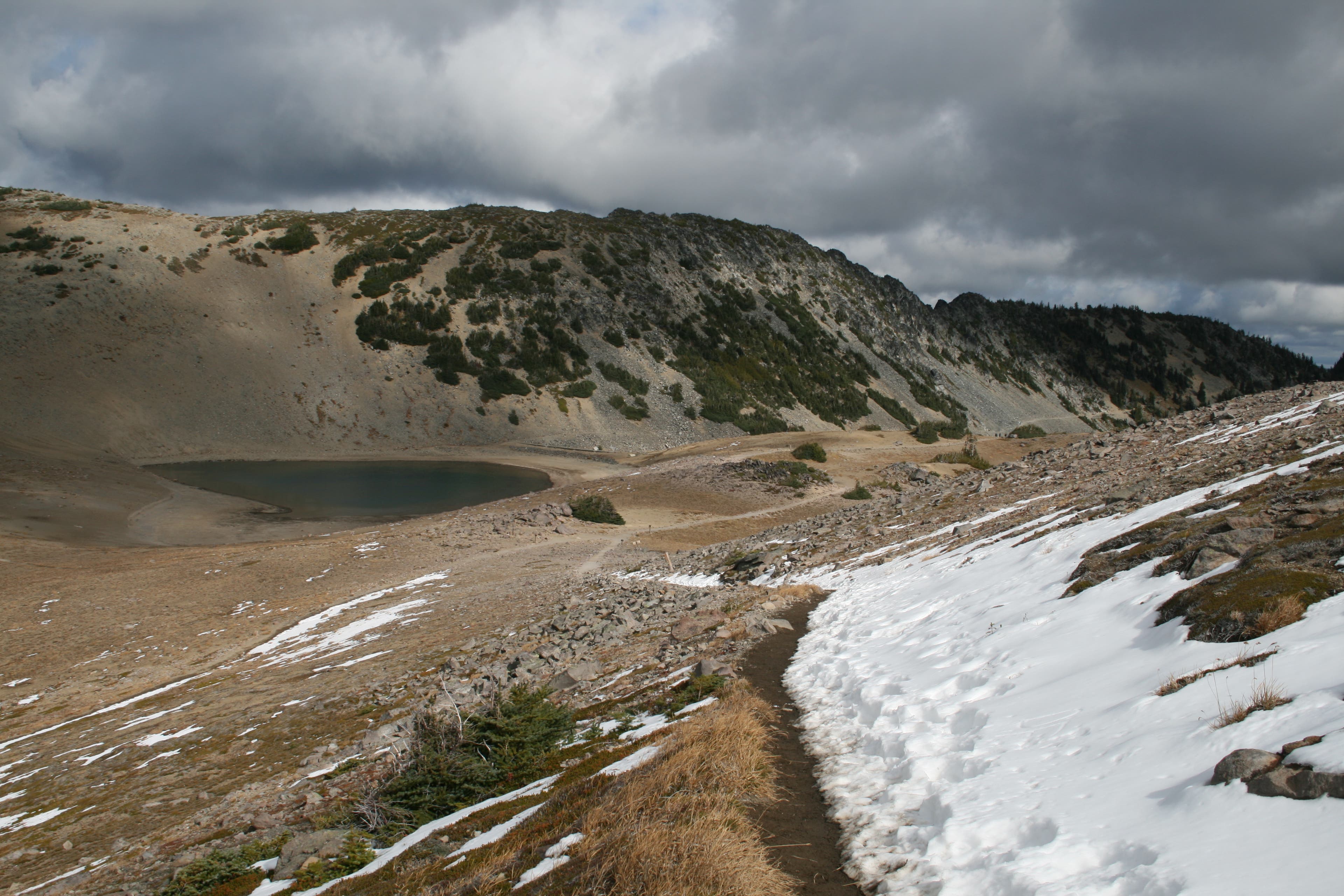
The trail passes Frozen Lake (a ledge of ice and snow cover its banks in spring and early summer), which provides the fresh water supply for the Sunrise area.
BUR012
Location: 46.918464, -121.646674
Stay right at the trail fork, and descend the Sourdough ridgeline.
BUR013
Location: 46.917149, -121.643745
Turn right at the 3-way junction, and walk across the Sunrise Meadows to the Sunrise parking lot.
BUR014
Location: 46.914598, -121.642256
The loop ends across from the parking lot where you started.
Ranger Station at Sunrise
Location: 46.914319, -121.643028
The ranger station is boarded up for the winter.
Sunrise Trailhead
Location: 46.914085, -121.642578
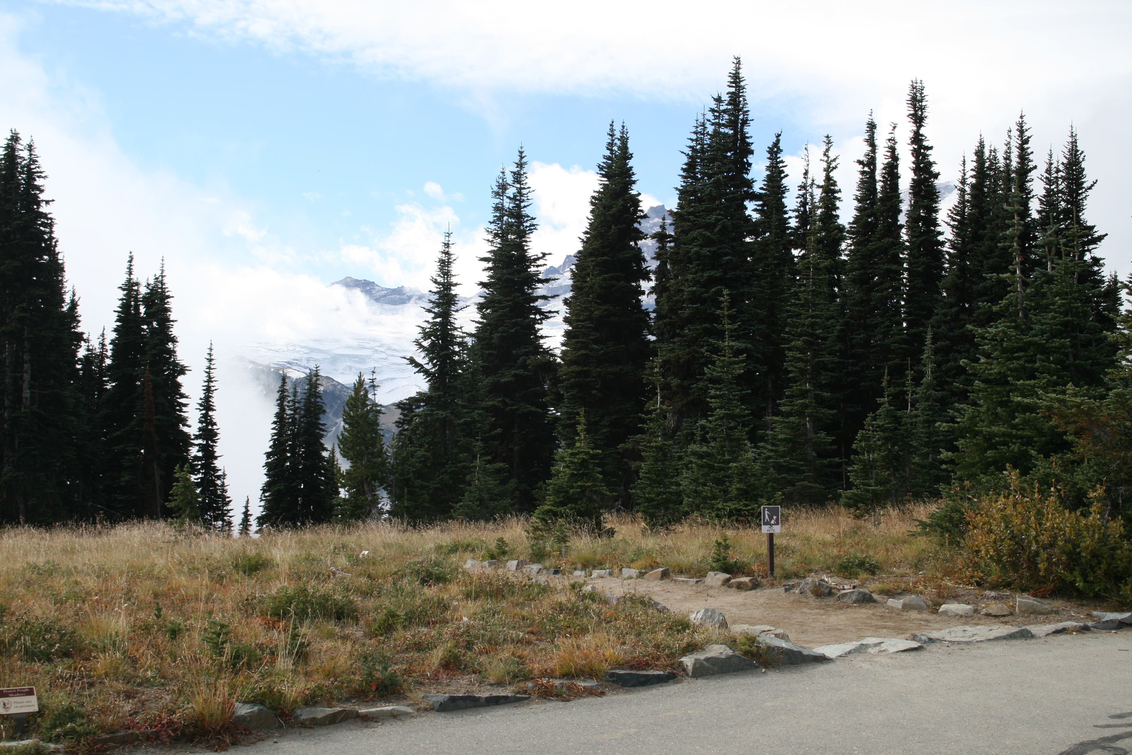
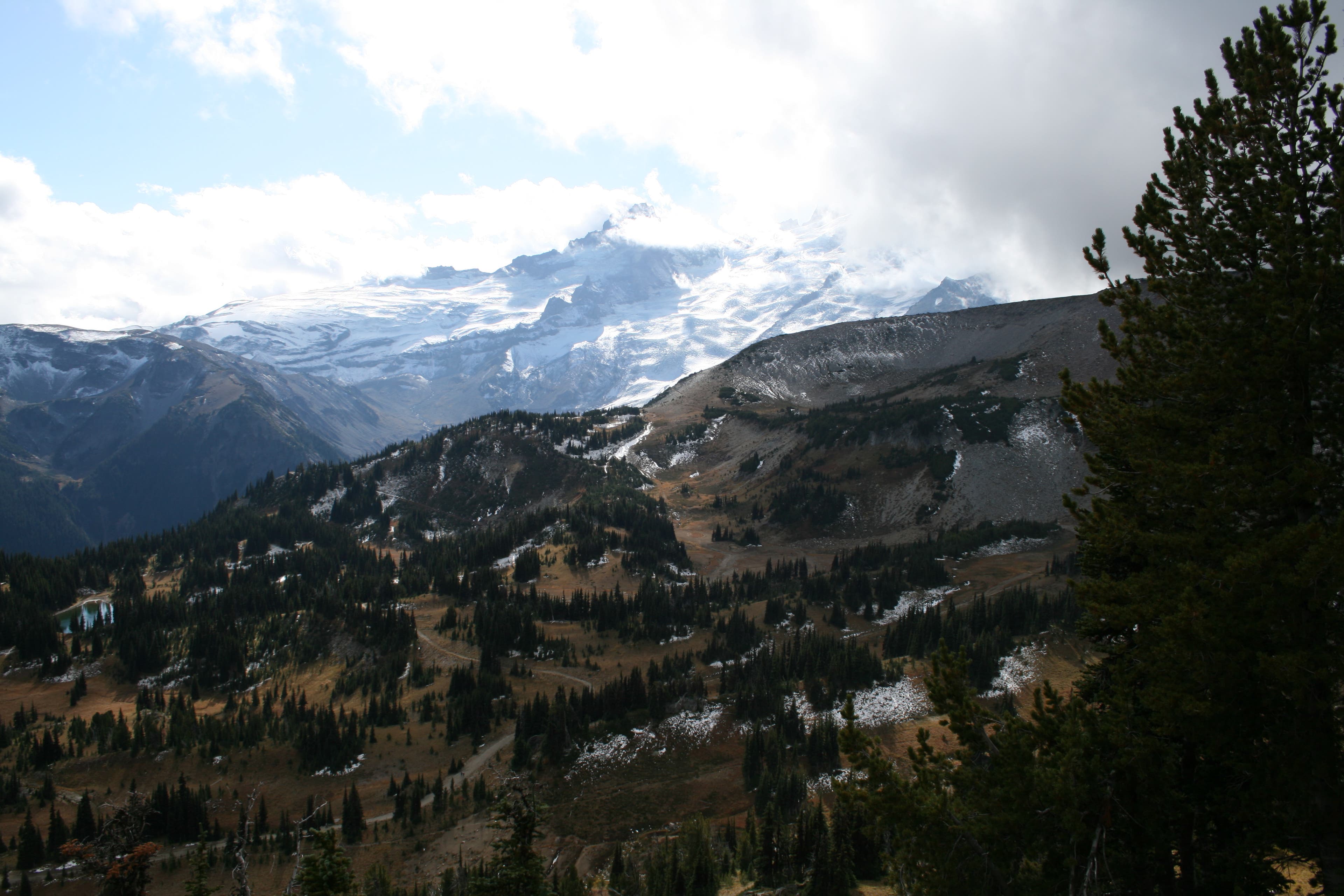
Little Tahoma peeks out from behind trees and clouds.
Little Tahoma and Emmons Glacier
Location: 46.914422, -121.646848
From the very beginning, you’ll get great views of the mountain.
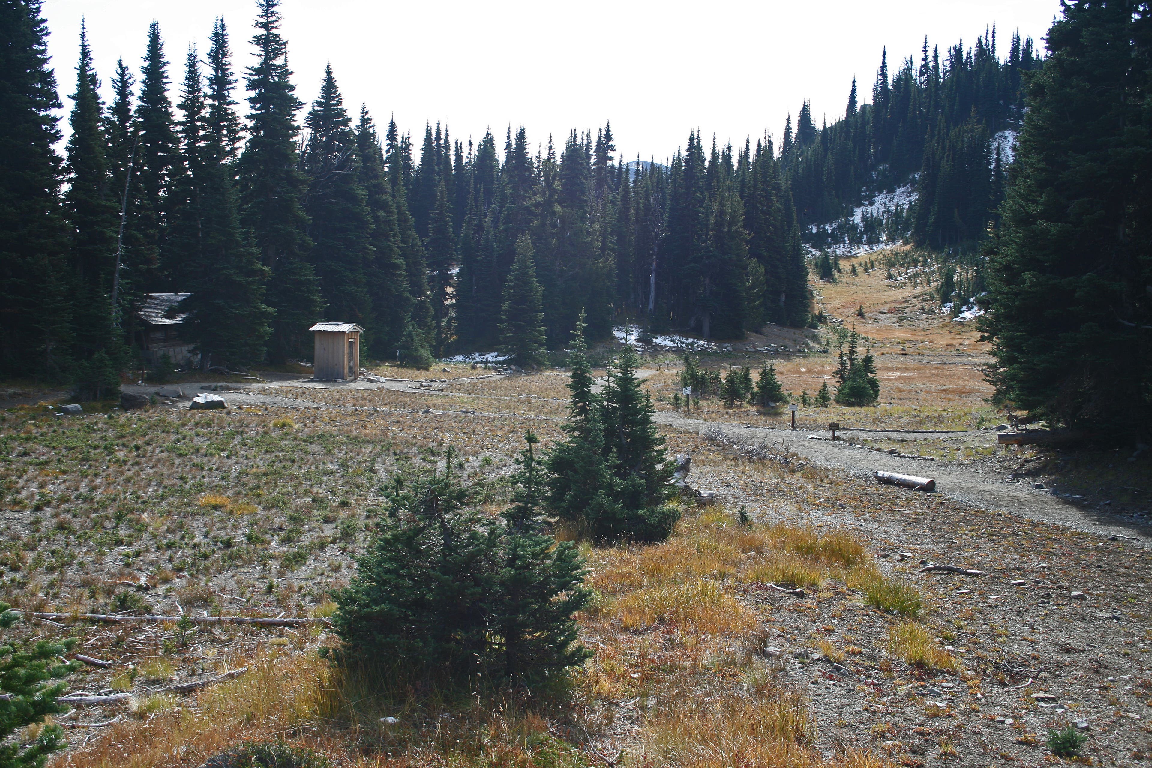
Sunrise Campground
Location: 46.913997, -121.658918
Emmons Overlook
Location: 46.908471, -121.659583
Trail Views
Location: 46.908002, -121.669486
The trail runs along a rocky ridgeline with views toward Tamanos Mountain and Governors Ridge in the distance.
Mount Rainier
Location: 46.908324, -121.670001
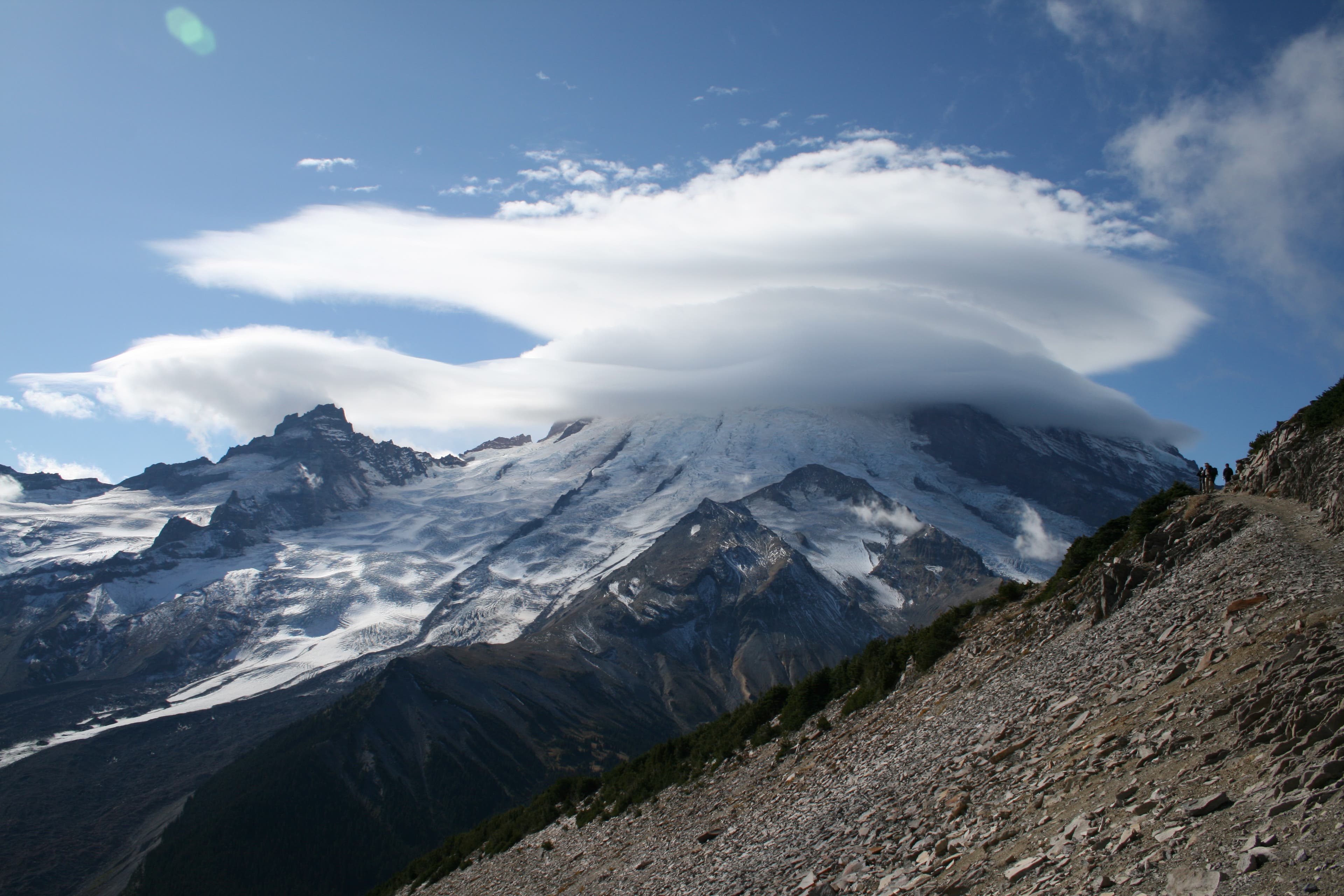
Lenticular clouds cover the top of Mount Rainier.
Mount Rainier from First Burroughs Mountain
Location: 46.9102, -121.673949
Burroughs Mountain Views
Location: 46.910787, -121.679571
From this vantage point along the rim, you’ll see Berkeley Park, Skyscraper Mountain, and its same-name pass. Old Desolate rises in the background.
View from Second Burroughs
Location: 46.906184, -121.689634
Descending Second Burroughs
Location: 46.908148, -121.687617
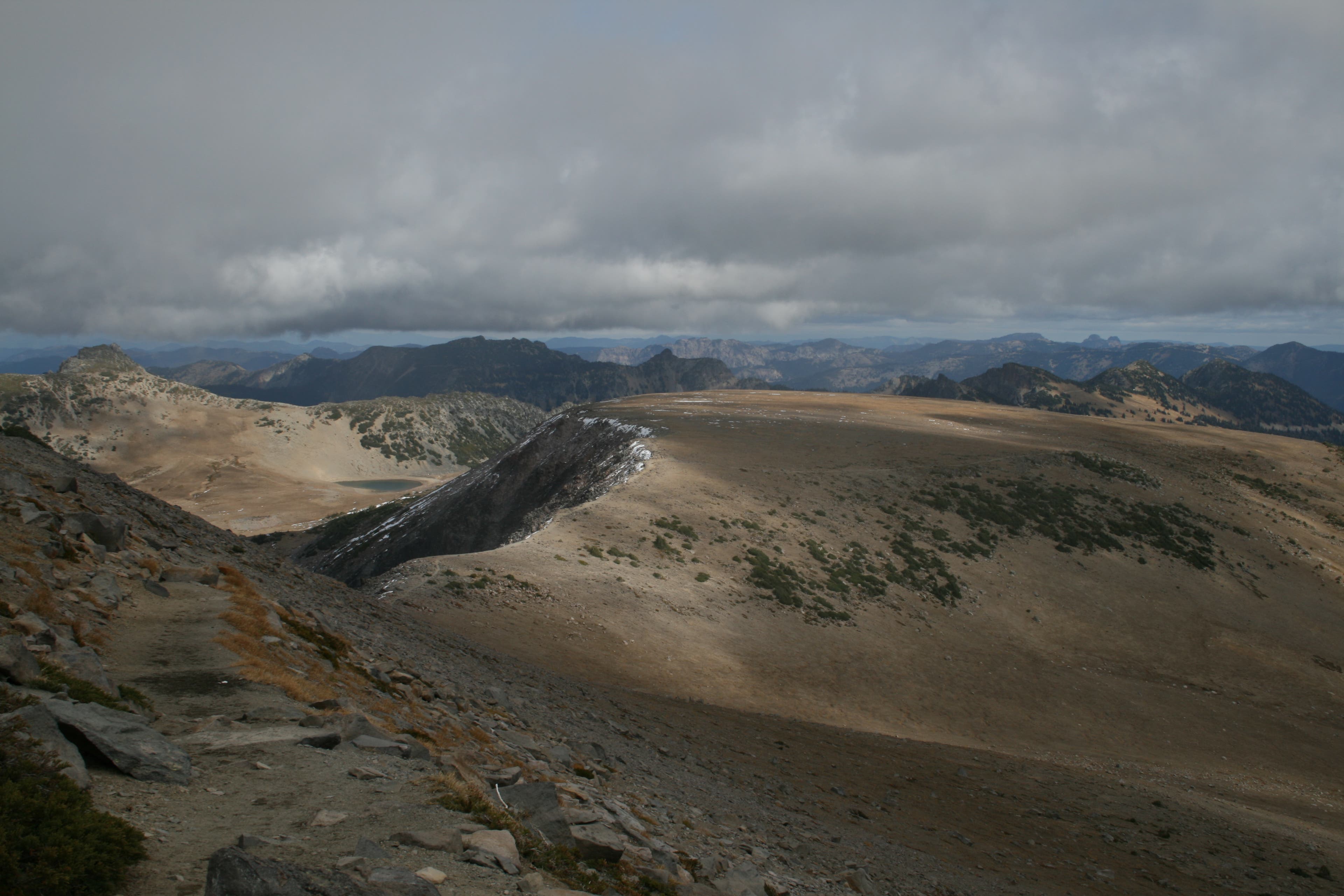
You’ll see the flat top of First Burroughs with Frozen Lake and the distant peaks beyond.
Frozen Lake
Location: 46.916122, -121.670794
Look for Frozen Lake in the distance. You can also see the Sourdough Ridge Trail running through talus fields.
Sourdough Ridge Views
Location: 46.9192, -121.65556
From the ridge trail, look back toward Mount Rainier and the meadows around Sunrise Camp and Shadow Lake.
Sunrise Meadows
Location: 46.917617, -121.645045
Take in final views across the Sunrise Meadows toward Sunrise.