Morristown National Historical Park: Speedwell Park to Jockey Hollow Encampment

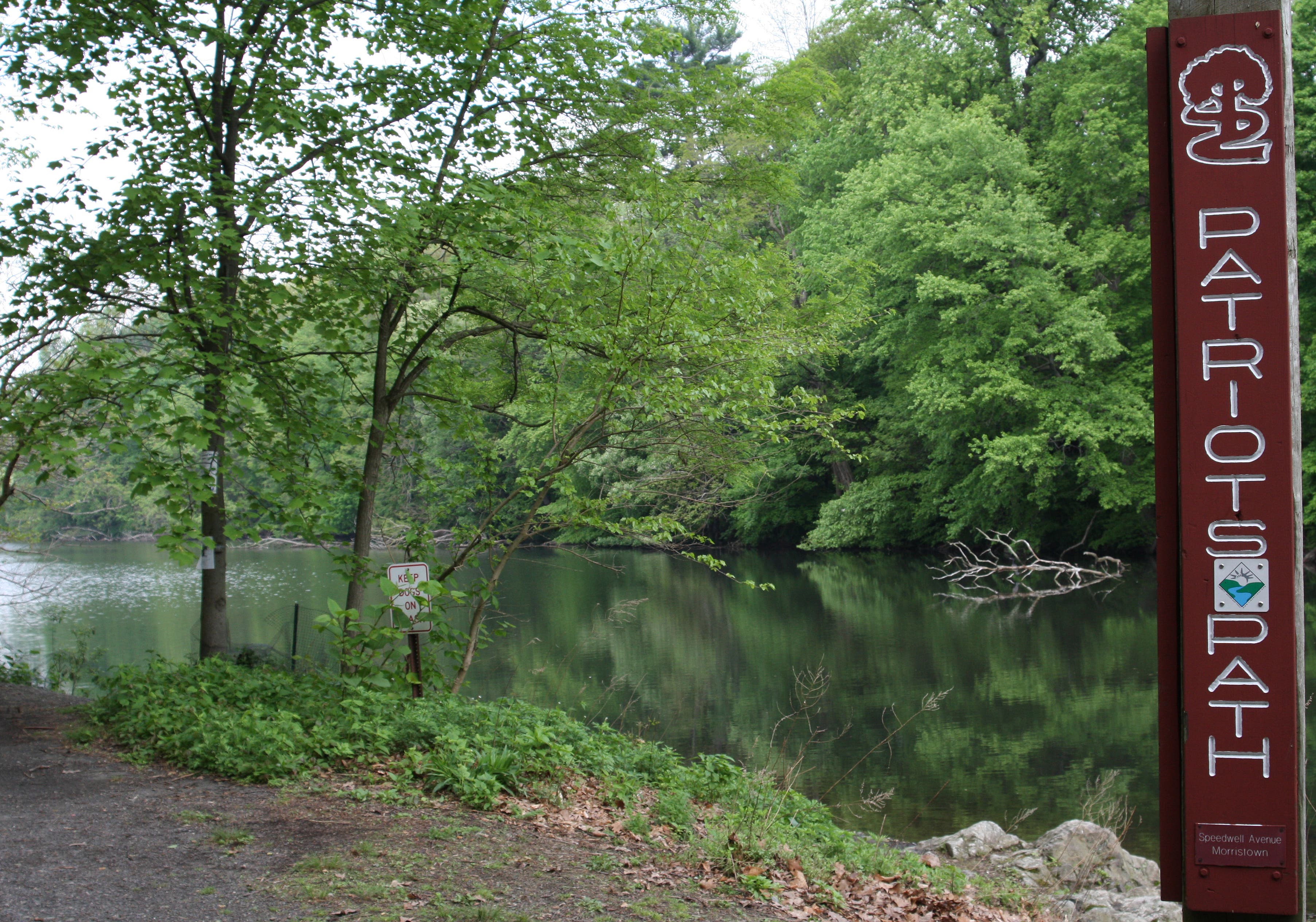
In addition to lush forests, farmland, and everglades, Morristown is steeped in American history. George Washington kept his military headquarters at the Ford Mansion. Samuel Morse invented the telegraph in Historic Speedwell. This 8-mile route along the Patriots Path connects Speedwell Park to the Jockey Hollow Encampment, where Washington’s Pennsylvania Brigade spent the winter of 1779-1780 in tiny huts.
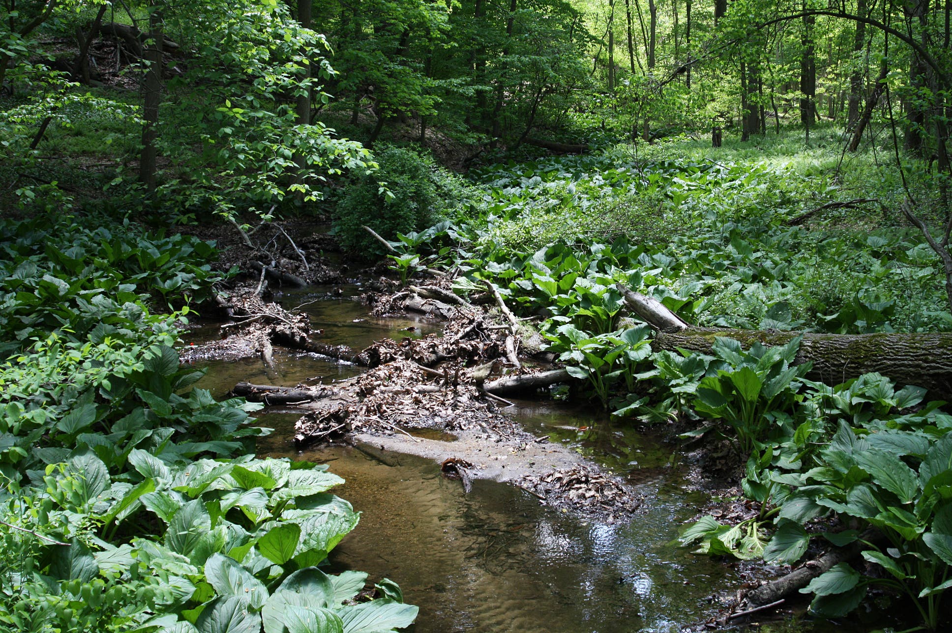
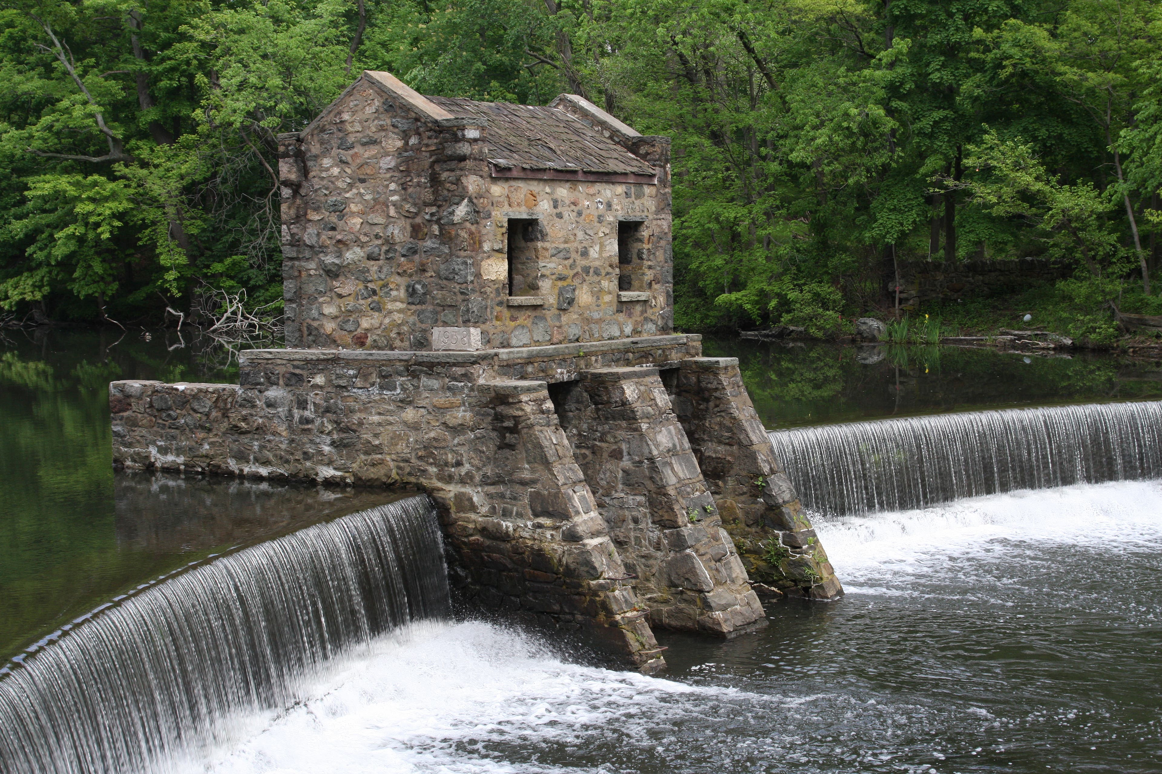
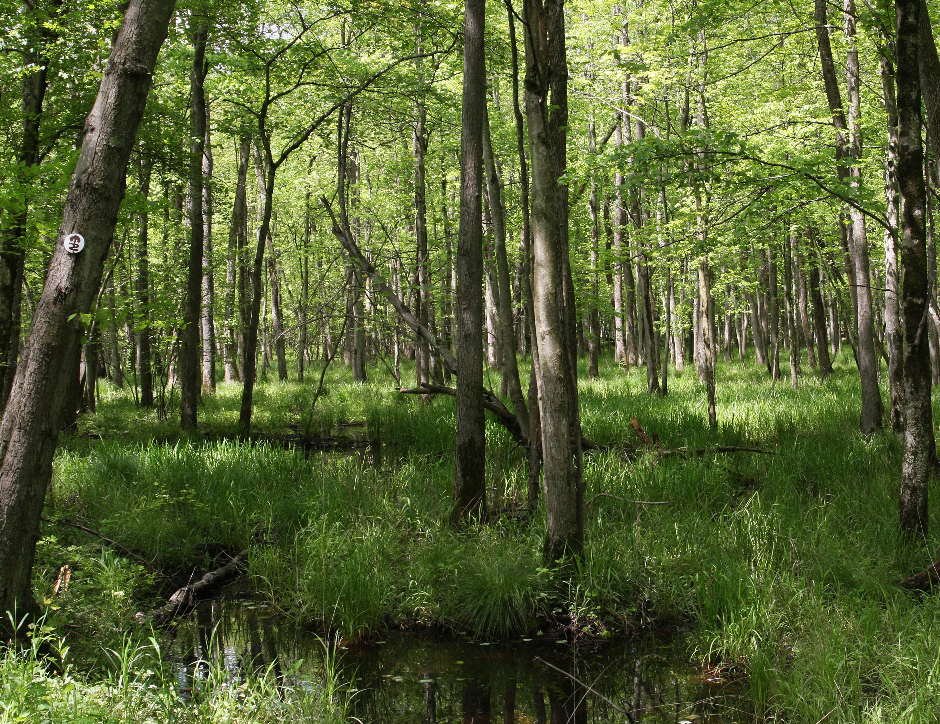
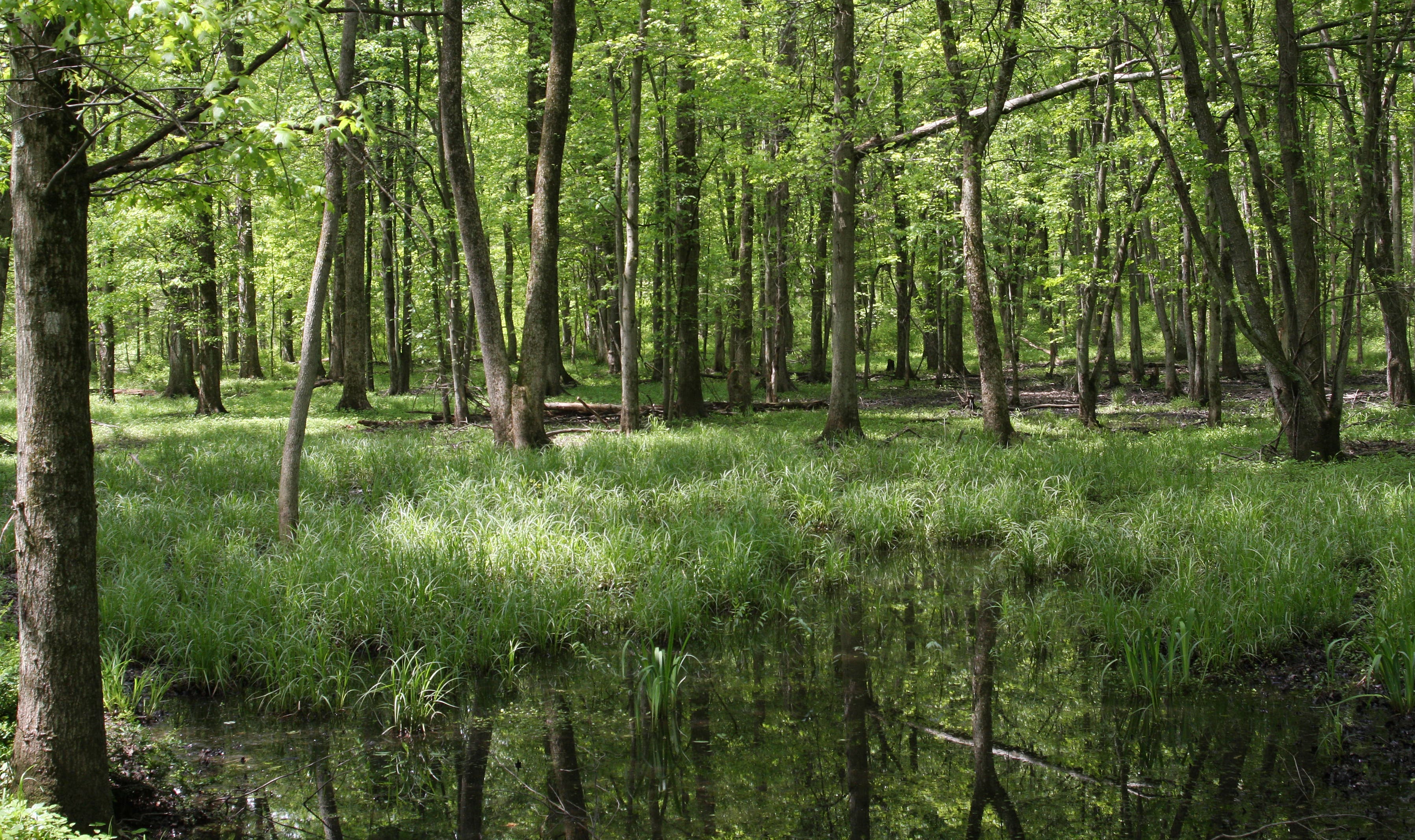
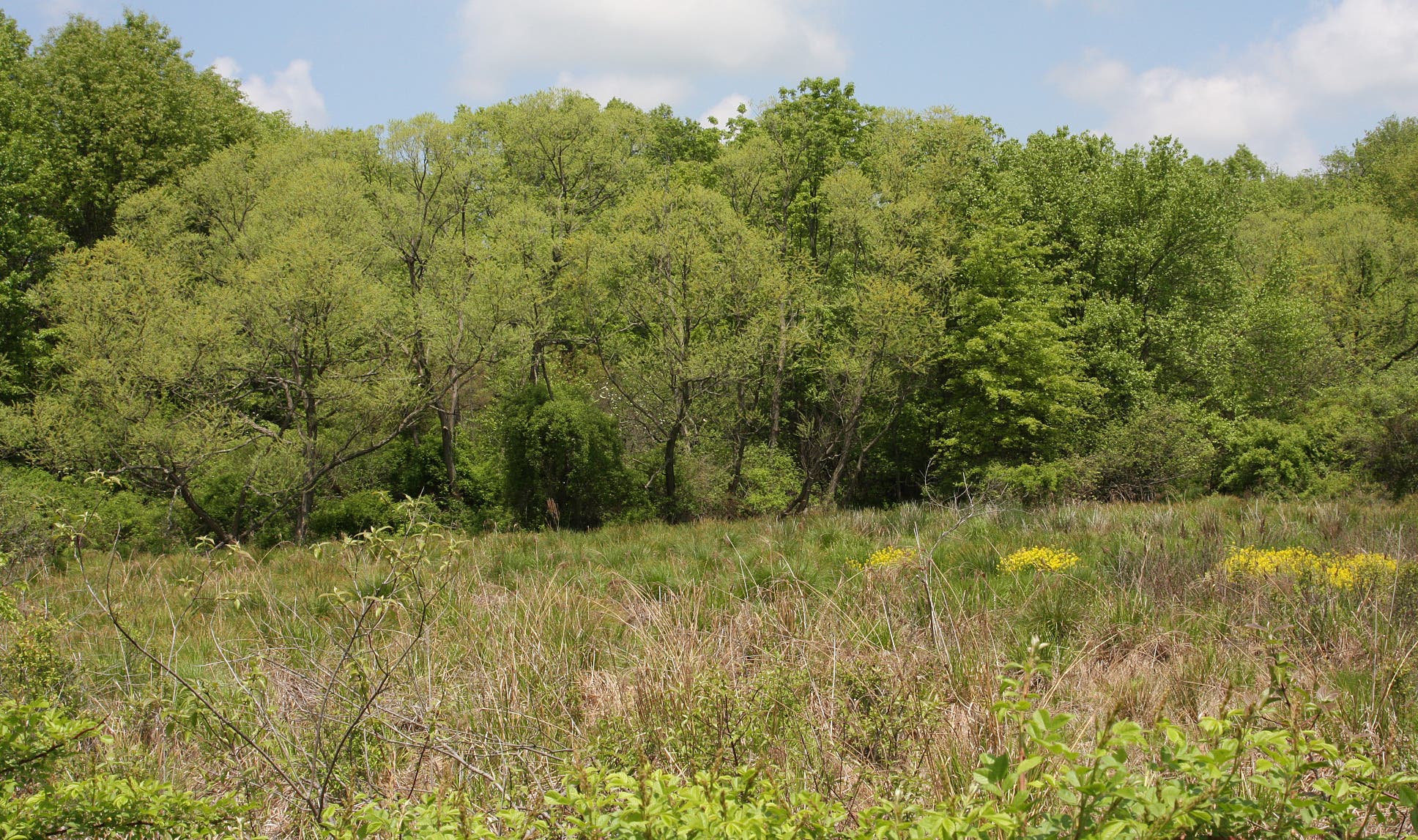
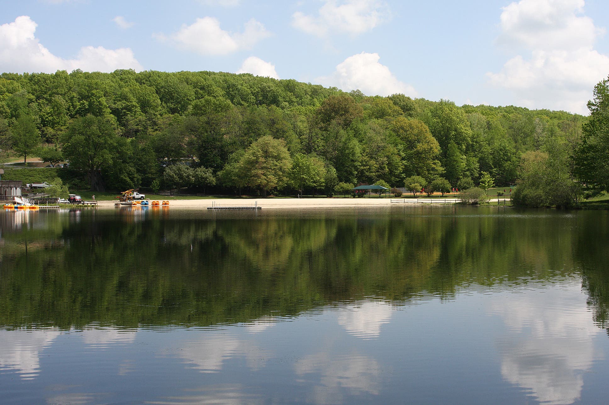
Start at Speedwell Lake and follow its headwaters, the Whippany River, through flooded woods and wetlands. The scenery gets increasingly rural the farther west the trail goes. After the trail rollercoasters into a four-way junction near Mendham Road, the route turns southward into Lewis Morris Park.
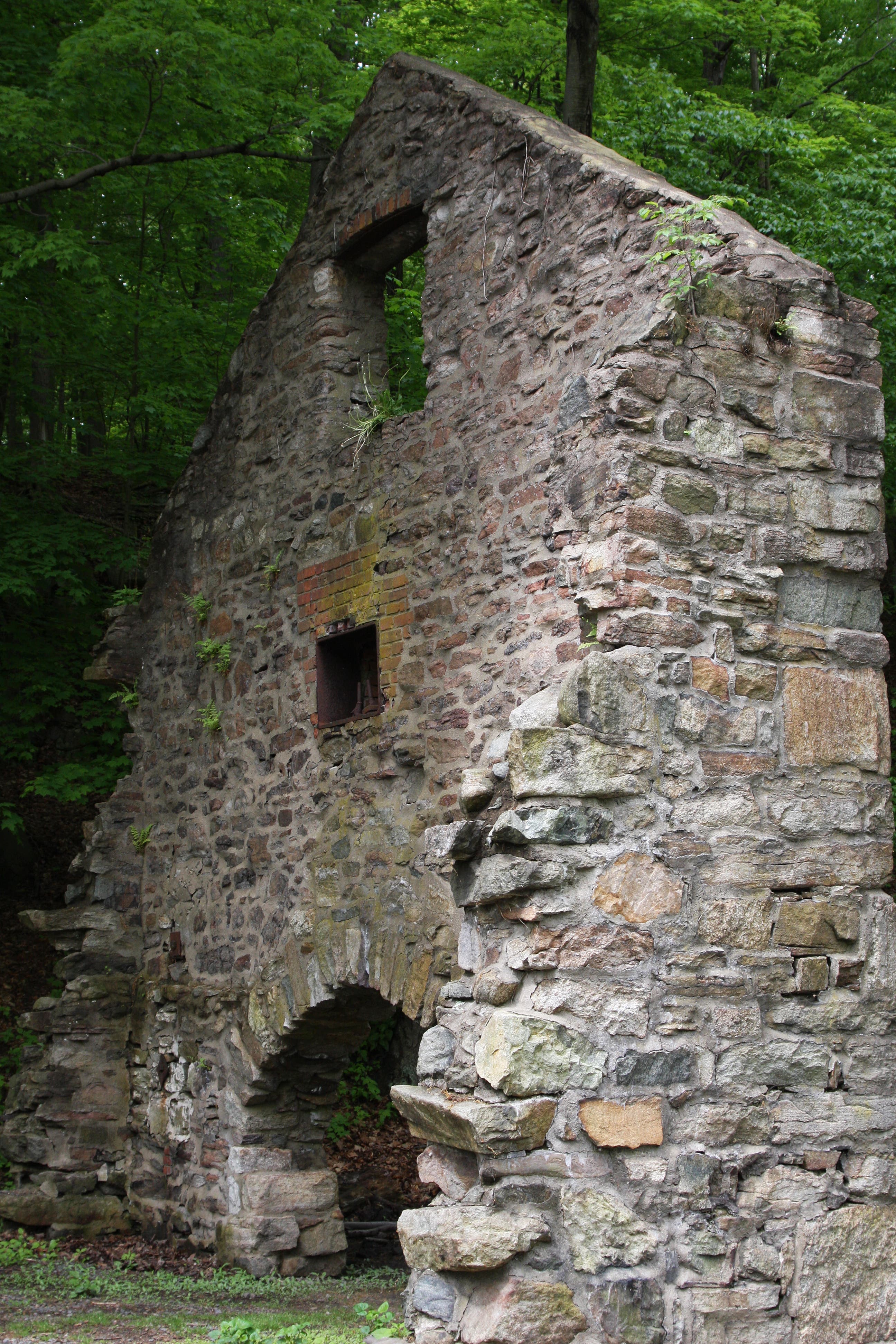
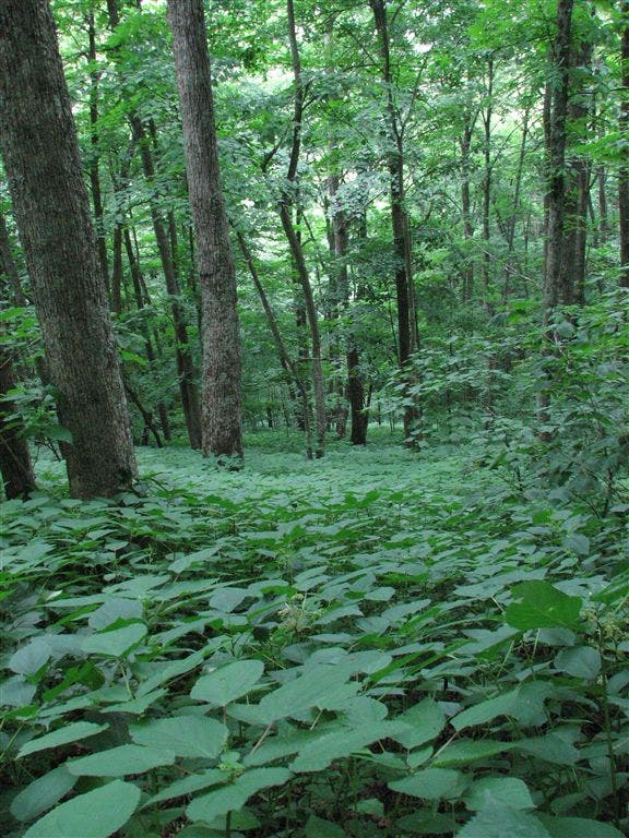
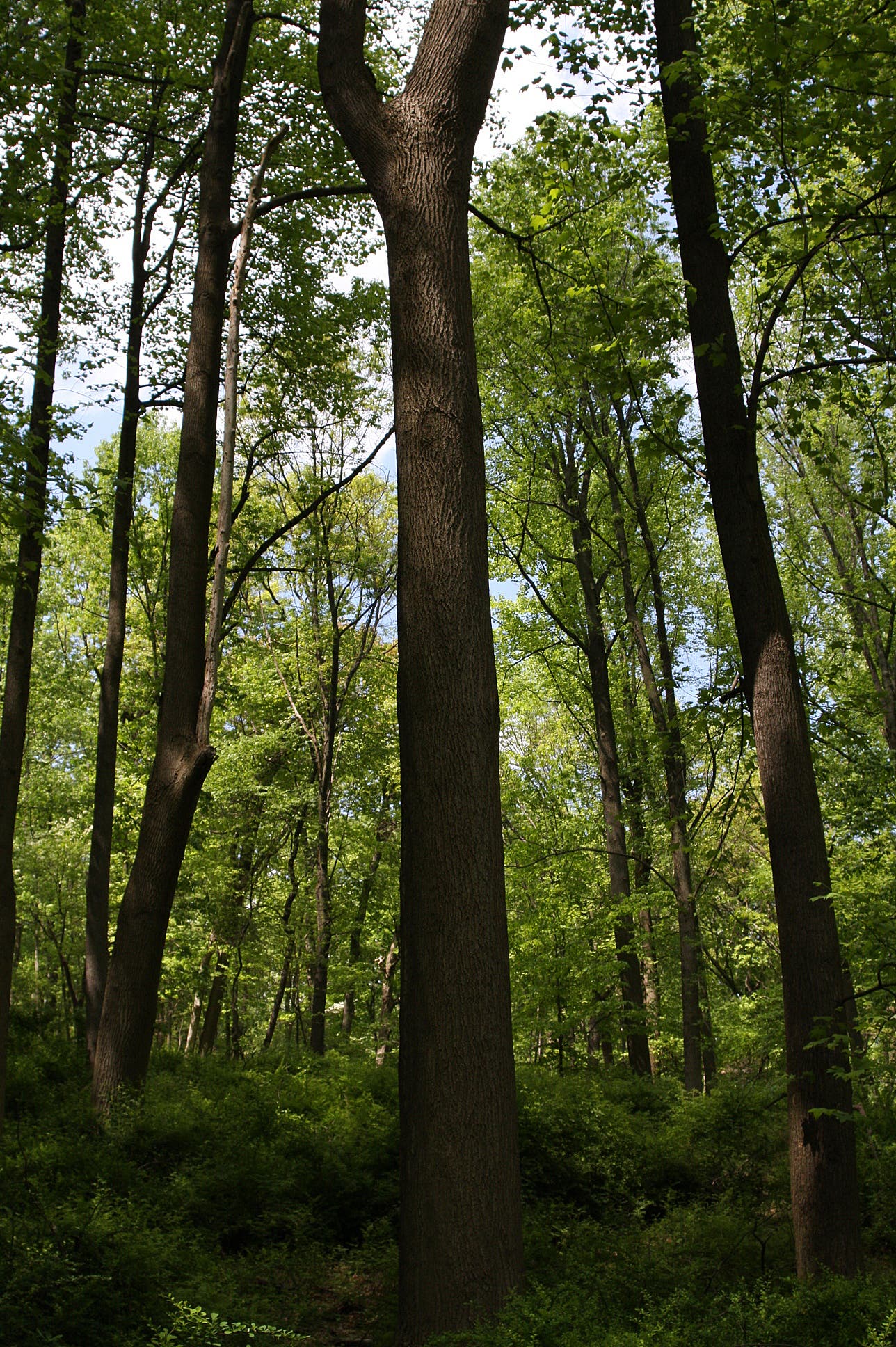
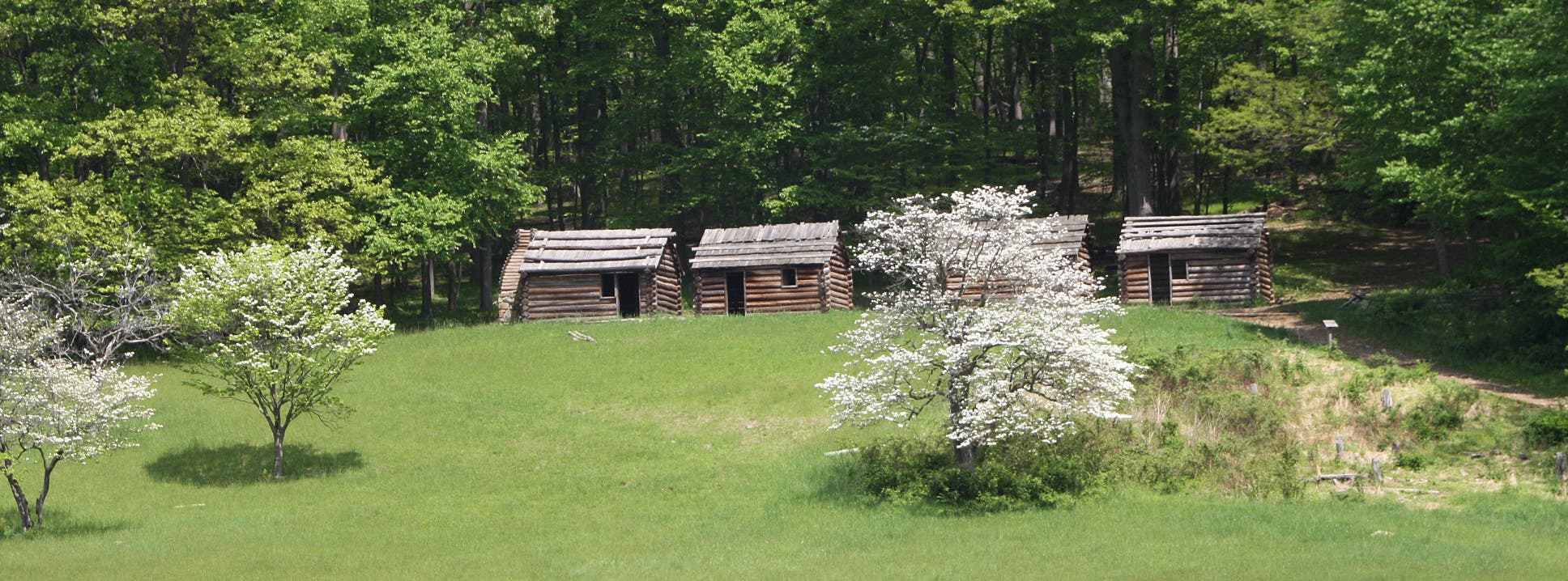
Wrap around the west side of the small lake, leaving behind riparian scenery for the pristine hardwoods of Morristown National Historical Park. Here, hikers will discover a few of the remaining log cabins where 13,000 Continental soldiers camped.
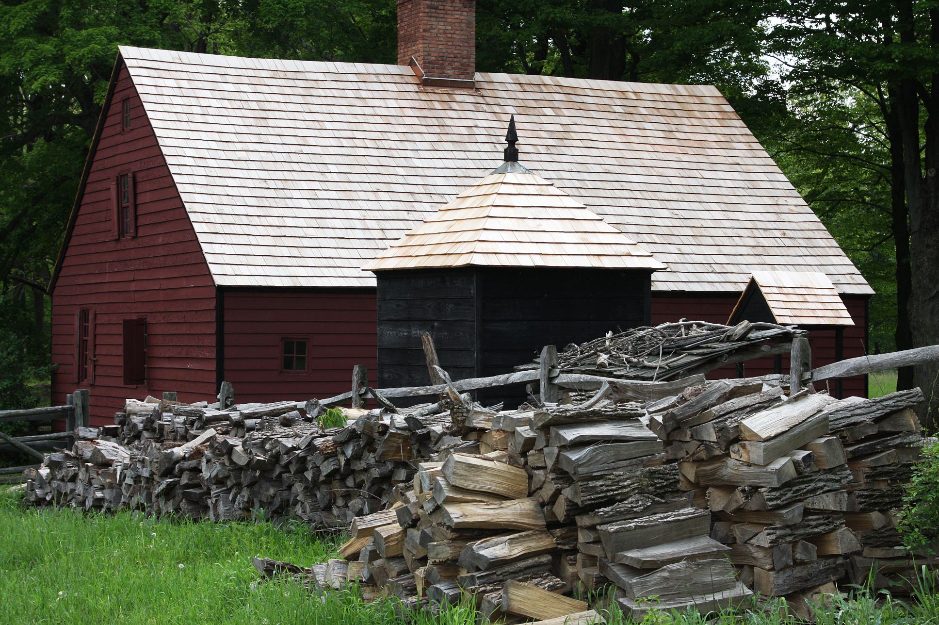
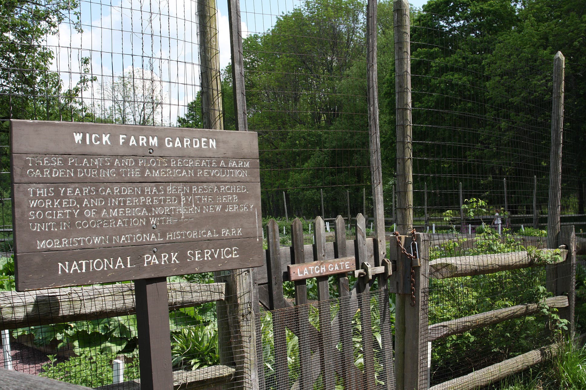
The route merges with the Soldier Hut Trail, cutting through more forest as it heads south to the Wick House. An apple orchard surrounded by a wooden fence marks the historic country estate. Bushwhack through the field toward the house for a closer look at the farm garden, then finish the hike at the Visitor Center.
Note: This 8-mile route can be done as a shuttle hike. Or, hikers can stay overnight at the primitive campground on Tempe Wick Road and turn the trip into a 16-mile out-and-back.
-Mapped by MacKenzie Ryan
PLAN IT
MAP: Download the park’s hiking trails map at nps.gov/morr/planyourvisit/upload/TTrail_Guides_10_03_02-2.pdf
CONDITIONS: For current conditions, go to Morristown, NJ (07962) Weather
INFO: Morristown National Historical Park
OTHER RESOURCES
GEAR
Ramsey Outdoor Store
281 Route 10 East
Succasunna-Kenvil, NJ 07876
(973) 584-7798
ramseyoutdoor.com
GROCERIES
Kings Super Markets
86 East Main St.
Mendham, NJ 07945
(973) 543-4493
kingswebsite.com
RESTAURANTS
Famished Frog
18 Washington St.
Morristown, NJ 07960
(973) 540-9601
famishedfrog.com
Pazzo Pazzo
74 Speedwell Ave.
Morristown, NJ 07960
(973) 898-6606
pazzopazzo.com
Copeland Restaurant
2 Whippany Rd.
Morristown, NJ 07960
(973) 451-2619
copelandrestaurant.com
TO TRAILHEAD: Start: From New York Penn Station, take Montclair, Morristown, or Gladstone Line to Morris Plains. Head south on Speedwell Ave. At 1.3 miles, turn right at Frederick St. Turn right at Marian Place, which turns slight left and becomes Willard Place. Speedwell Park and trailhead is on the left.
End: From Jockey Hollow Visitor Center, head southeast on Tempe Wick Rd. At 0.9 mile, turn left at Mount Kemble Ave. At 3.8 miles, turn right at West Park Place. Turn left at South Park Place. Continue 0.5 miles to Morristown train station. Take NJ Transit back to Penn Station.
Trail Facts
- Distance: 12.2
Waypoints
001
Location: 39.9948733, -105.6347626
Pak Lot
002
Location: 39.9988798, -105.6372737
Boudry
003
Location: 40.0023518, -105.6411305
Strem
004
Location: 40.0032118, -105.6438062
04-JUL-08 1:01:41AM
005
Location: 40.0039777, -105.6462584
04-JUL-08 1:08:24AM
006
Location: 40.0039829, -105.6462602
04-JUL-08 1:08:28AM
007
Location: 40.0039892, -105.6462608
04-JUL-08 1:08:35AM
008
Location: 40.0041485, -105.6464141
R A 3W
009
Location: 40.0104163, -105.6585111
Ap Ag
010
Location: 40.0109429, -105.6590009
Mine
011
Location: 40.0117504, -105.6596219
04-JUL-08 2:10:02AM
012
Location: 40.0117234, -105.6597091
Start
013
Location: 40.0147125, -105.6719137
Rock Fall
014
Location: 40.0144709, -105.6779863
L A Y
015
Location: 40.0140077, -105.681124
R A Y
016
Location: 40.0141365, -105.6826319
C Lak
017
Location: 40.0168534, -105.6872455
Turn Around
018
Location: 40.0144161, -105.6780686
R A Y
019
Location: 40.0161418, -105.6752766
Down
020
Location: 40.0103727, -105.6584867
R A Y
021
Location: 40.011116, -105.6496771
View
022
Location: 40.0158076, -105.6438557
Saddle Glacier
023
Location: 40.3065595, -105.5378145
Th
024
Location: 40.3048233, -105.5401716
L A Y Spt
025
Location: 40.3006667, -105.545485
S A 4 Way Cr Bridge
026
Location: 40.2916101, -105.570265
View L Longs
027
Location: 40.2929002, -105.5735318
L A 4W To Longs
028
Location: 40.2869204, -105.5647163
R A 3Way
029
Location: 40.2866523, -105.5681095
C#mp
030
Location: 40.2844533, -105.5719347
Mine Stream
031
Location: 40.2750855, -105.5642549
R At T
032
Location: 40.2728116, -105.56985
Camp
033
Location: 40.273428, -105.5800064
Bridge Tundra
034
Location: 40.2707888, -105.5842154
L A Y
035
Location: 40.2656051, -105.5924756
R At 3 W
036
Location: 40.2741127, -105.6054092
R At 3W
037
Location: 40.2892679, -105.6031389
Treeline
038
Location: 40.2872737, -105.6106679
Thick Pine
039
Location: 40.2877069, -105.6126126
Sm Stream
040
Location: 40.2891078, -105.6173822
R A 3W
041
Location: 40.2919806, -105.6174203
Camp
042
Location: 40.3056957, -105.617042
Desend To River
043
Location: 40.3167732, -105.6157064
R A 4W
044
Location: 40.3148711, -105.6121859
R At Y
045
Location: 40.3113208, -105.6069164
S A 3W
046
Location: 40.3072853, -105.6000716
Stream
047
Location: 40.2960423, -105.5829606
V To L
048
Location: 40.2930262, -105.5737328
St A 4W Storm Pass