Moab, UT: Moab Rim Trail

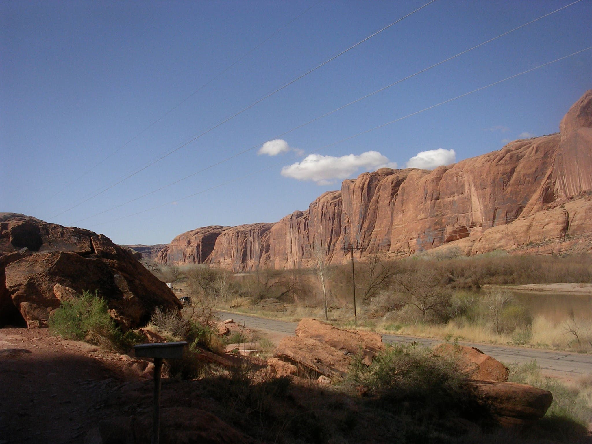
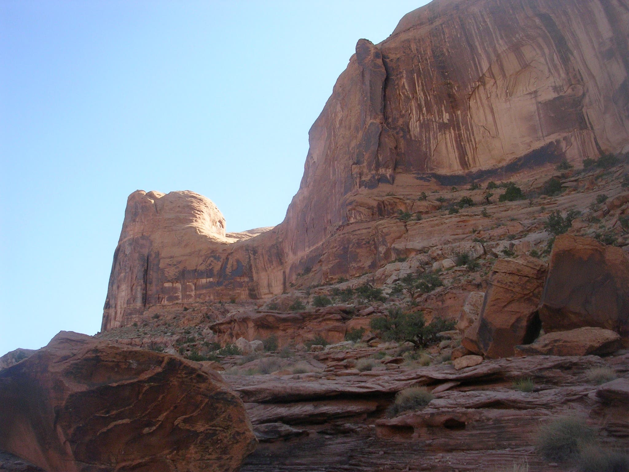
Just minutes from downtown Moab, this 4.2-mile out-and-back serves up jaw-dropping panoramas of red-rock landscapes and endless canyons. From the parking lot on Kane Creek Road, head northeast along the Moab Rim Trail, a slickrock thoroughfare flanked by the legendary Colorado River to the west and towering sandstone rock walls to the east.
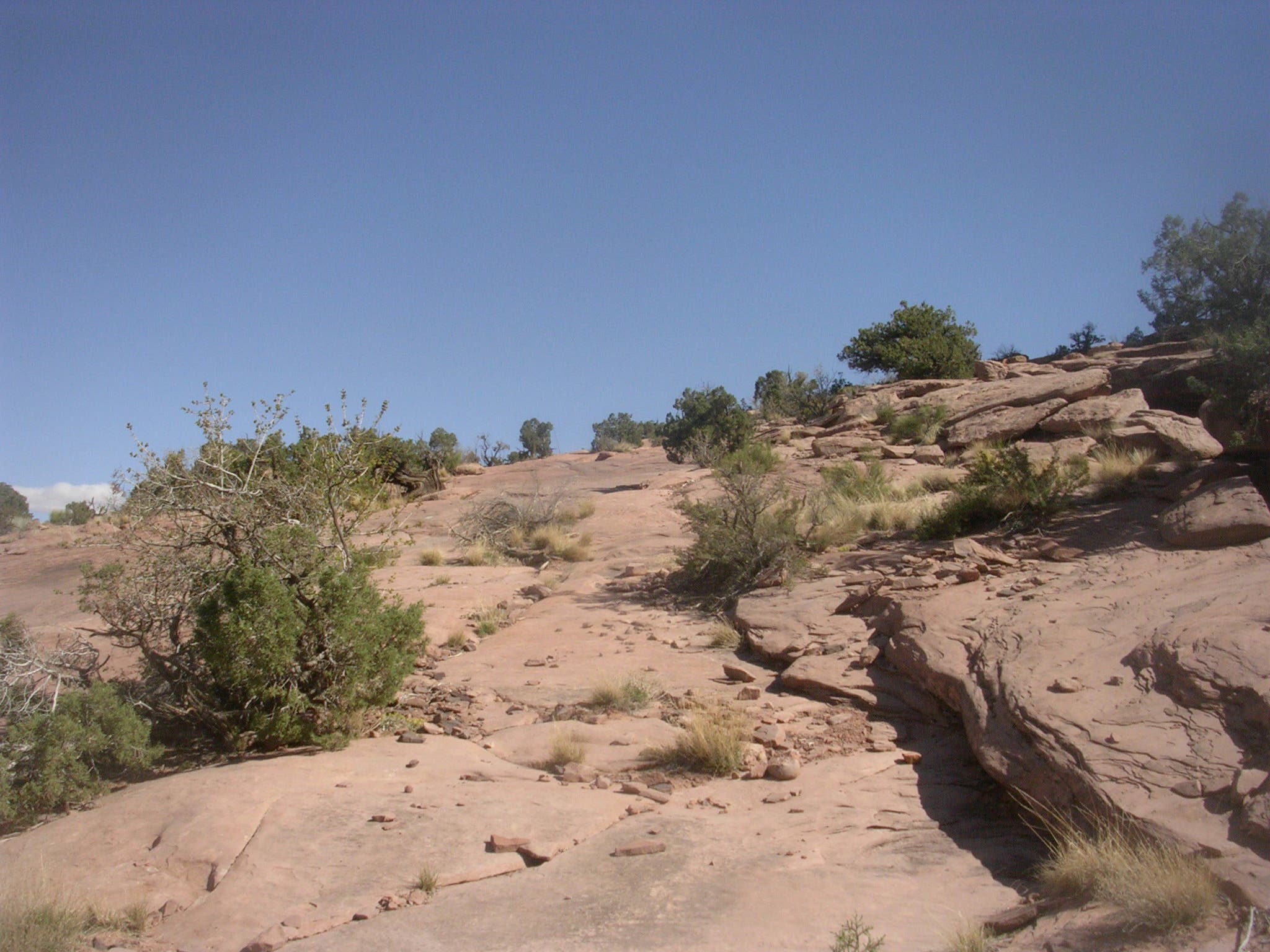
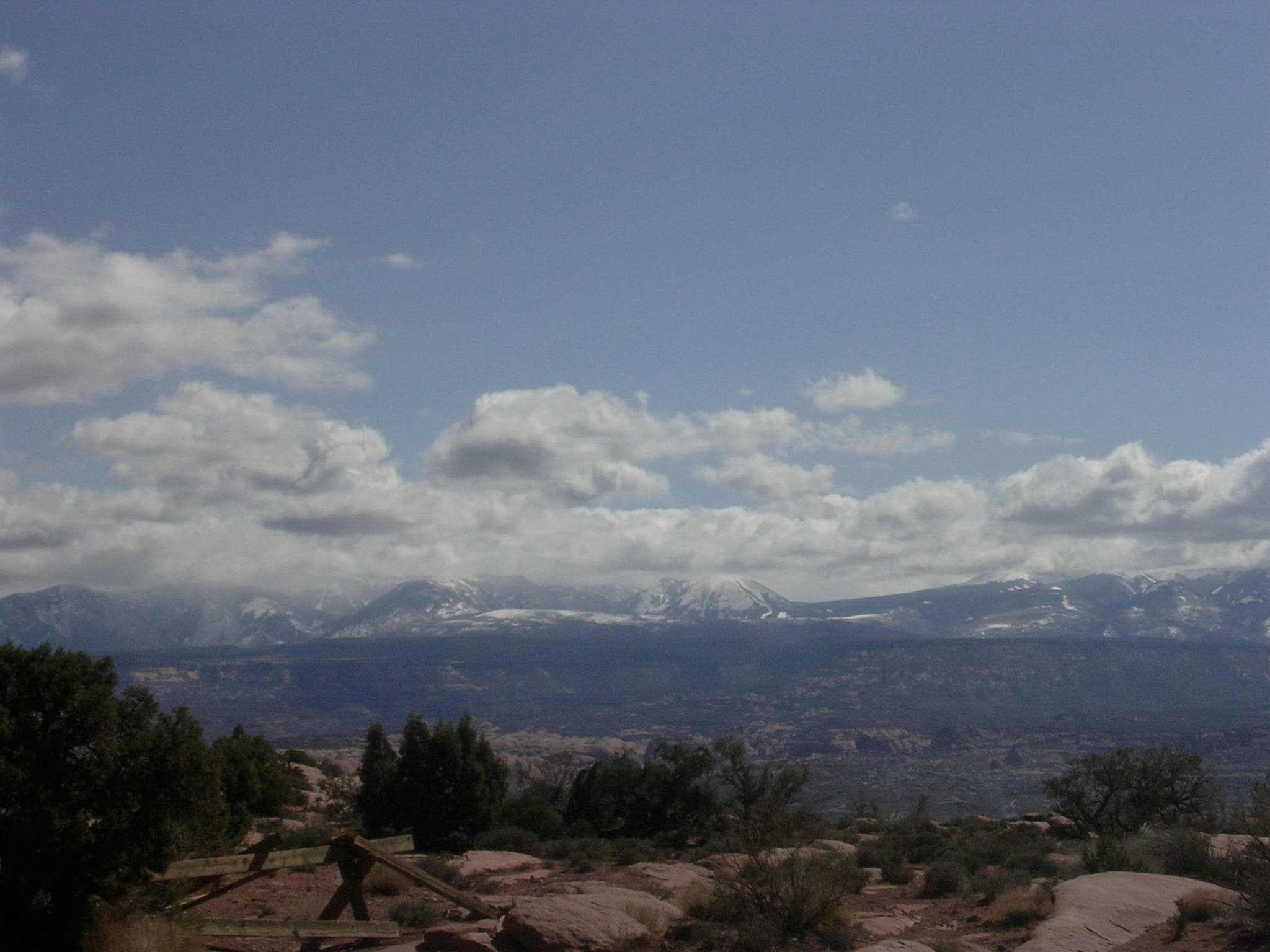
Follow the white dashes and prepare for the upcoming climb that begins near mile 0.4. You’ll gain 900 feet of elevation in less than a mile. Crest the top of the rim at mile 1.3 and soak up the views of Arches National Park, the La Sals, the Colorado River, Amasa Back, and an endless landscape of astonishing red-rock topography.
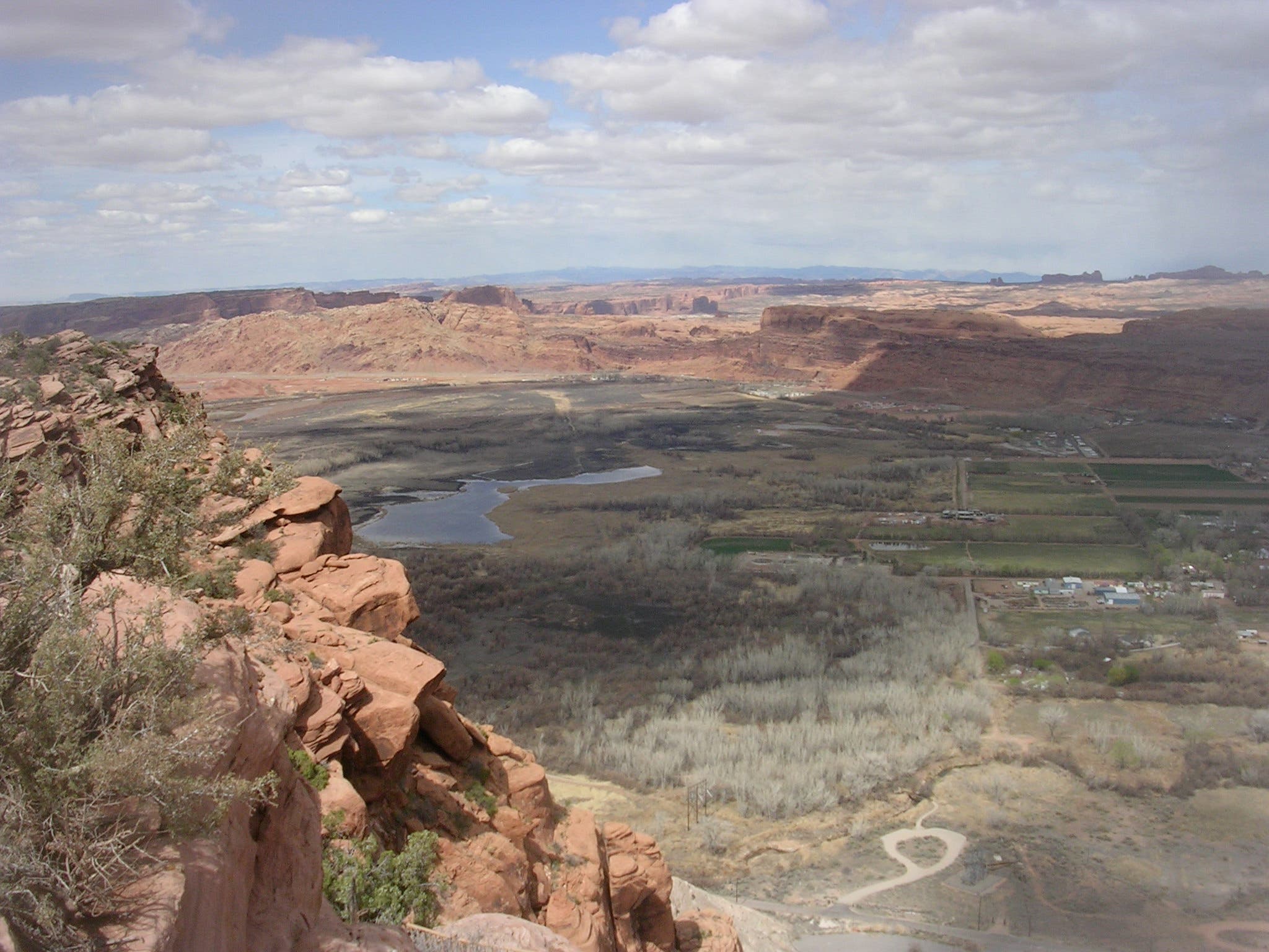
From here, the trail swings southeast along a cliff edge overlooking Moab, then passes views of landscapes filled with canyons, mesas and buttes. Bear right at the Y-junction at mile 2.1 to scamper up a sandstone dome—a perfect spot to eat lunch and savor the overwhelming natural beauty of the landscape ahead of you. Return to the trailhead by retracing the route you came in on.
Note: The Moab Rim Trail is heavily-trafficked by motorized vehicles in the summer, so it’s best hiked in early spring, fall, and winter.
-Mapped by Brian Beer and Zaq Tull
Trail Facts
- Distance: 6.8
Waypoints
MRT001
Location: 38.5547268, -109.5862627
From the parking lot off Kane Creek Road, head north on the Moab Rim Trail. Pack all your water; there are no water sources on the trail.
MRT002
Location: 38.5603593, -109.5821305
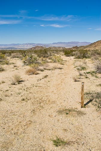
Continuing to the north, follow the white dashes painted into the slickrock.
MRT003
Location: 38.561198, -109.5812845
Bear right, following signs for the Moab Rim Trail. The path becomes steeper here.
MRT004
Location: 38.5612001, -109.5812891
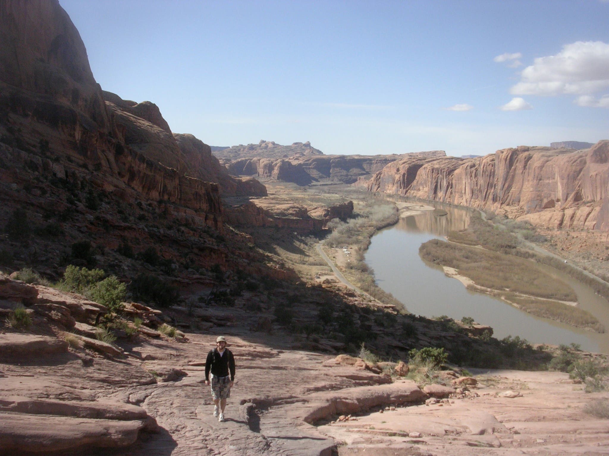
Bear right again, following signs for Moab Rim Trail. To your left, catch increasingly awe-inspiring views of the Colorado River flanked by the towering sandstone walls of the Poison Spider Mesa.
MRT005
Location: 38.5632674, -109.5790958
Continuing to follow the white blazes up, enter a small sliver of the Moab Rim Preserve, a section of private property managed by the Nature Conservancy. Gazing southwest, witness the Colorado snaking around Poison Spider Mesa and cutting into the sheer walls of the Amasa Back.
MRT006
Location: 38.5650333, -109.5776055
Keep your eyes fixed to the white dashes, as the trail becomes easy to lose in this spot. Look westward for your first views of the stunning Pyramid Butte looming on the horizon.
MRT007
Location: 38.5669564, -109.5720255
At the Y-junction, head southeast to cross a split-log fence and gain the high ridgeline overlooking Moab.
MRT008
Location: 38.5673161, -109.5717515
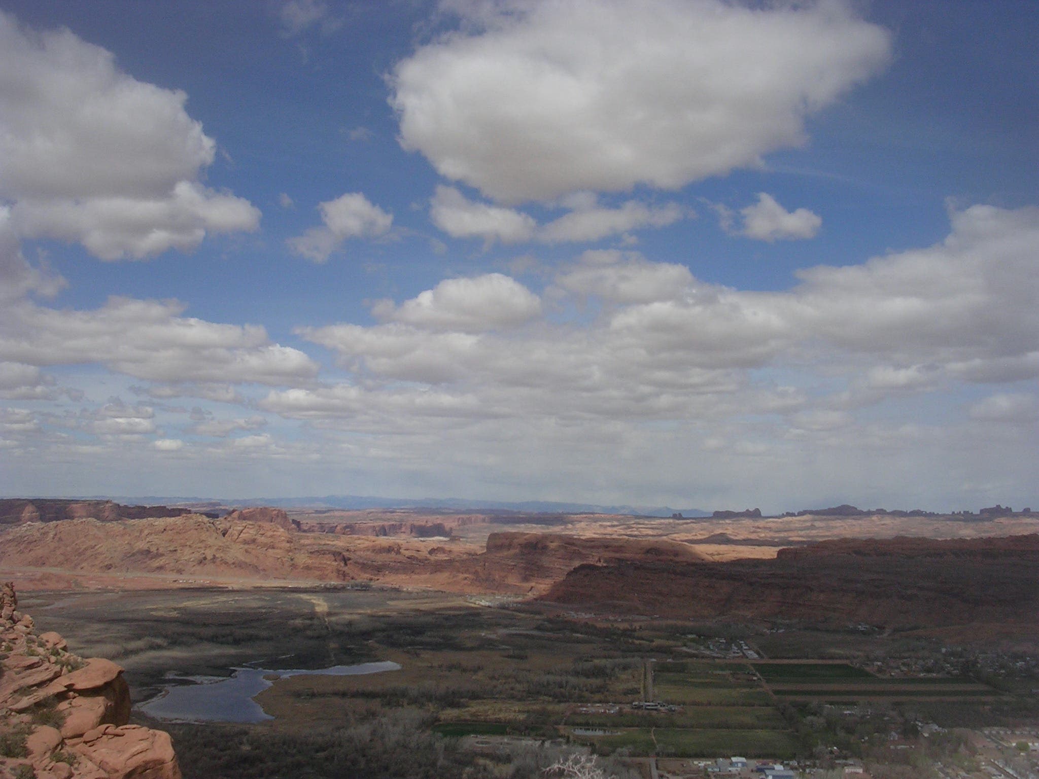
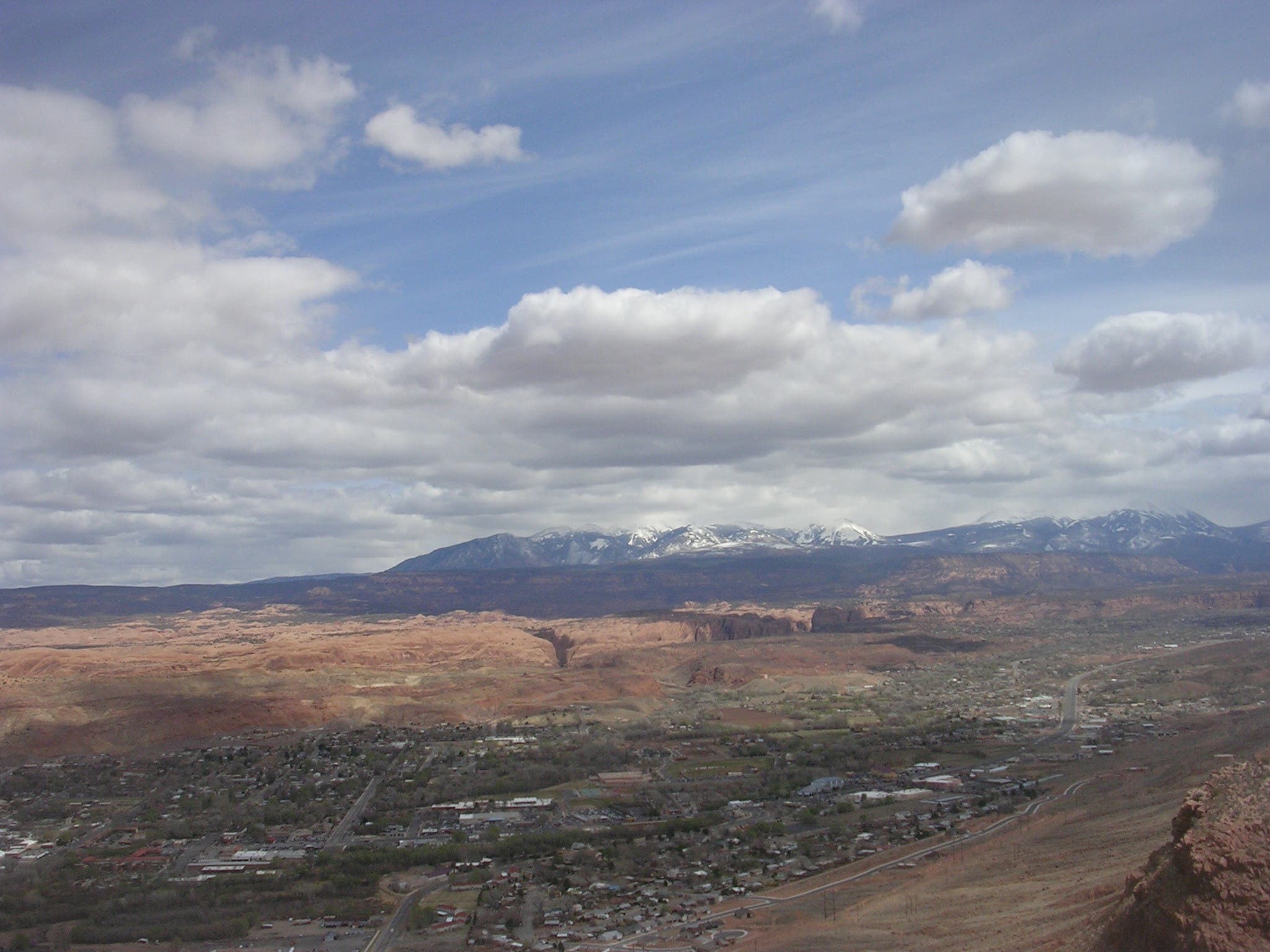
From the left fork at the Y-junction, grab mind-blowing views from your cliffside vantage point (clockwise from north): Arches National Park, Professor Valley, downtown Moab, Spanish Valley, the La Salle Mountains, the Colorado River, Dead Horse State Park, Pyramid Butte, and Poison Spider Mesa. Retrace your steps back to the junction before heading southeast along the rim.
MRT009
Location: 38.5623278, -109.5686567
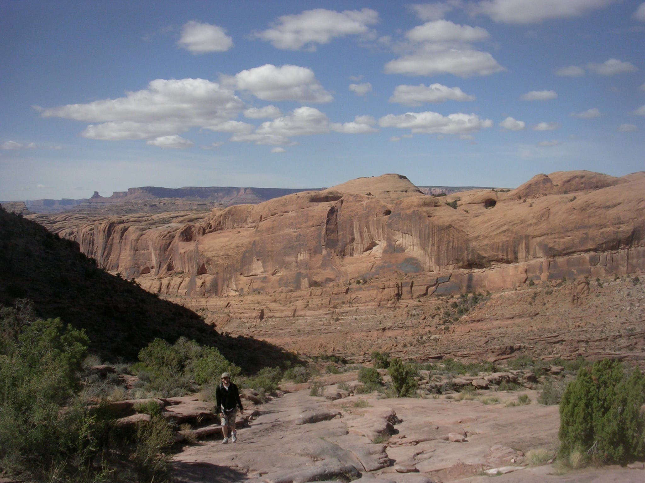
Follow the trail as it veers right through a natural sandstone amphitheater and passes views of red-rock landscapes.
MRT010
Location: 38.5573696, -109.5713925
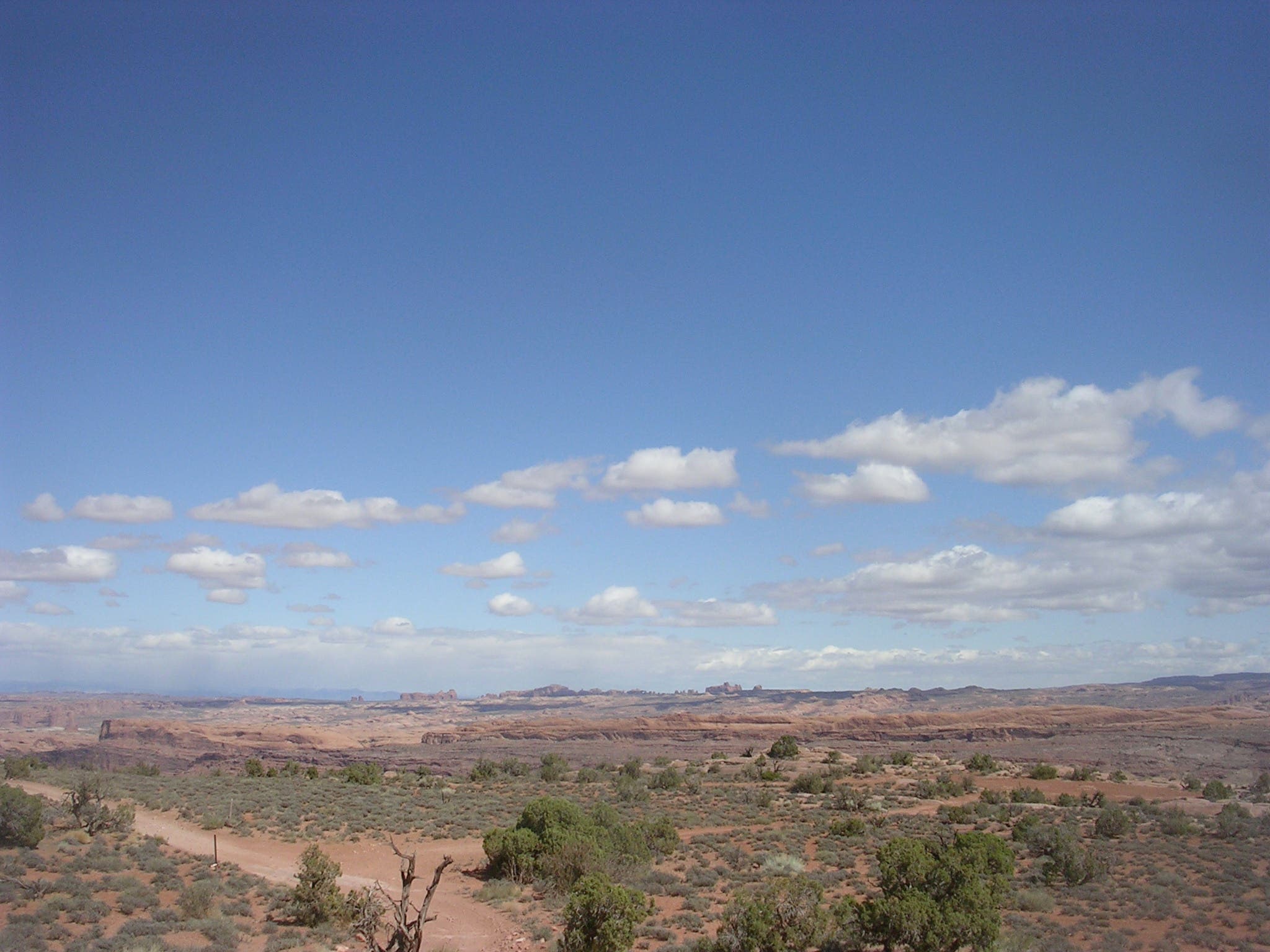
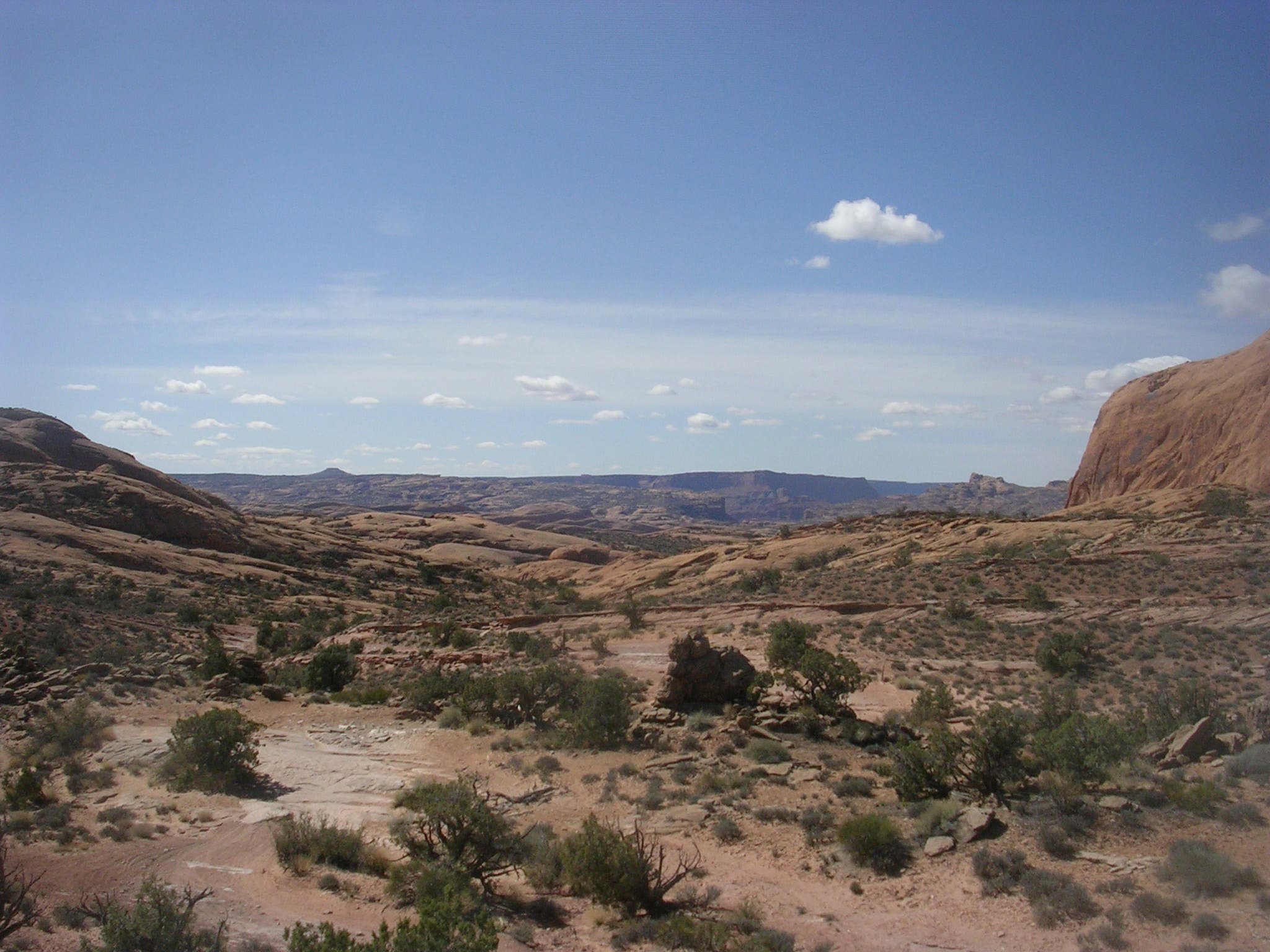
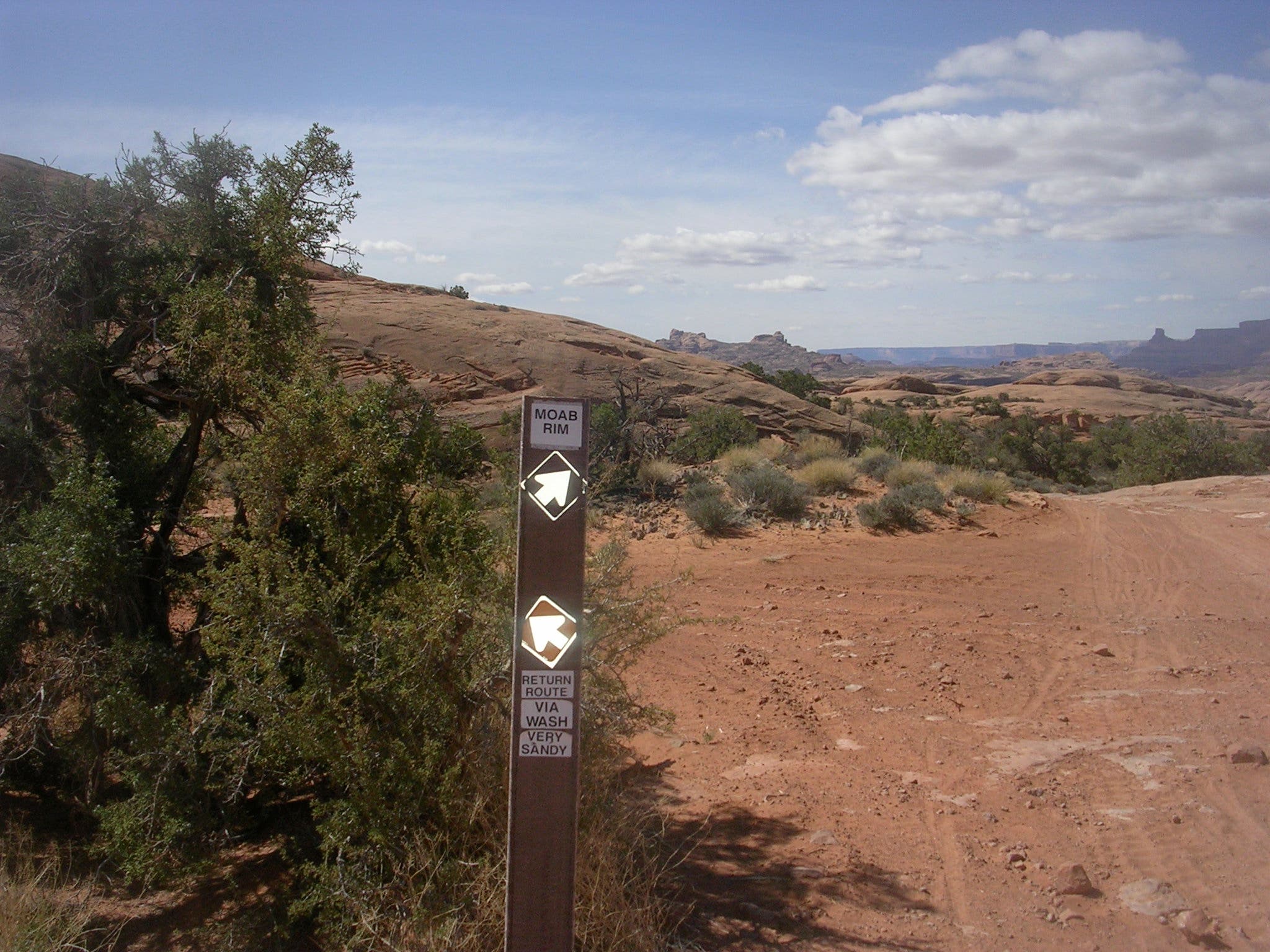
Bear right at the Y-junction to stay on the dirt jeep trail. Savor the increasingly awe-inspiring desert panoramas to the west. The left fork leads back to the Colorado River and Kane Creek Road via a sandy wash.
MRT011
Location: 38.5568075, -109.5714462
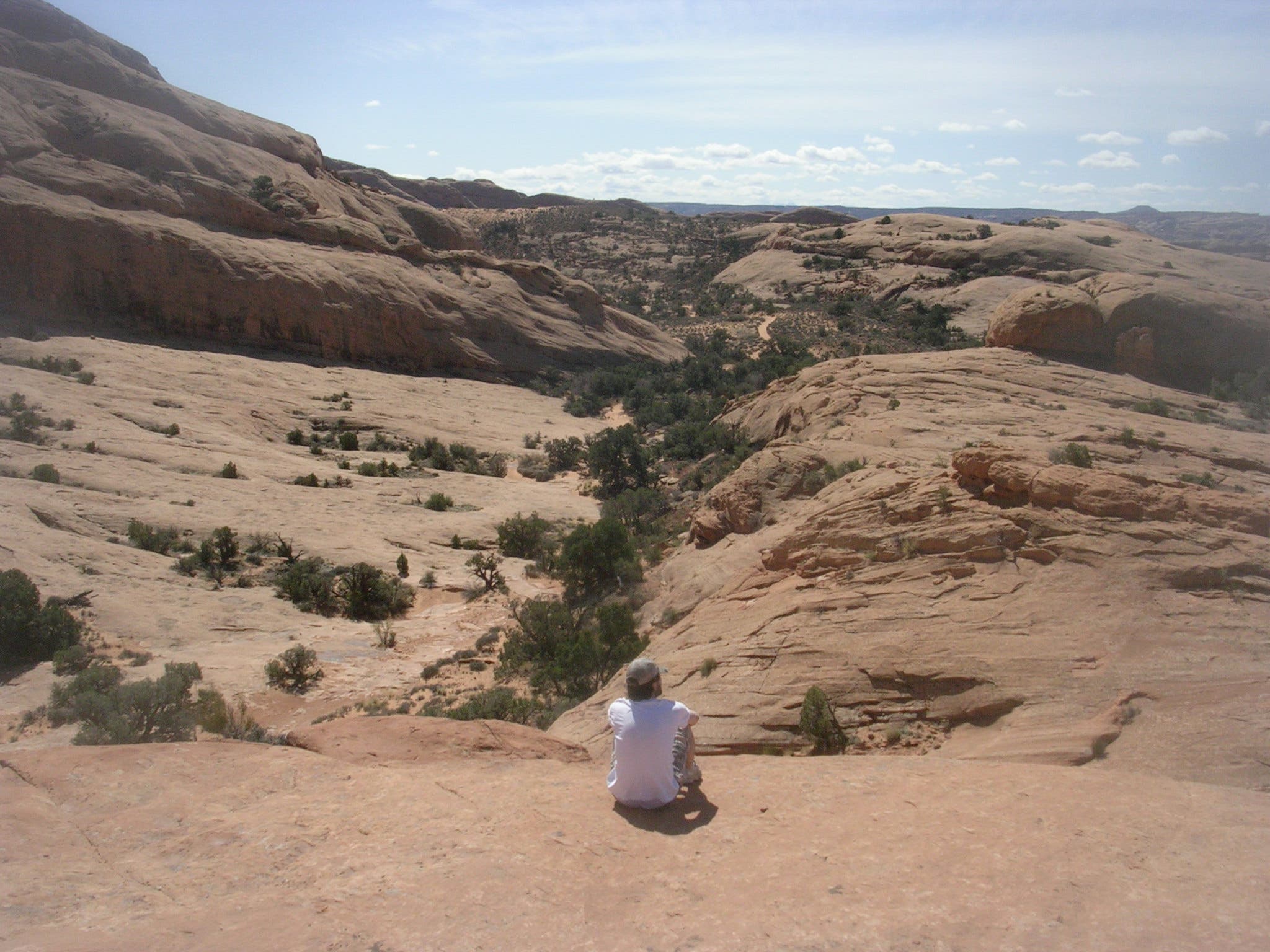
Scramble up a sandstone dome for more incredible views of the surrounding landscape: red-rock mesas, table-top buttes, earth-scarring canyons and miles of slickrock topography. Retrace your route to return to the trailhead.
Hiking Up, Looking Down
Location: 38.5586616, -109.583087
Trail Marker
Location: 38.5603647, -109.5820034
Towering Sandstone Walls
Location: 38.5615308, -109.580673
Climbing Up
Location: 38.5631835, -109.5788223
Colorado River and Poison Spider Mesa
Location: 38.5650458, -109.5774543
Looking West from Junction
Location: 38.5669501, -109.5719075
Arches National Park
Location: 38.5674366, -109.5720255
Moab Valley
Location: 38.5673779, -109.5718861
La Sal Mountains
Location: 38.5672437, -109.57165
Moab
Location: 38.5671514, -109.5715642
High-ridge Vista
Location: 38.5670382, -109.5714623
Southwest Panorama
Location: 38.5623278, -109.5685172
Junction
Location: 38.5573612, -109.5713013
The Wild West
Location: 38.5568159, -109.571355