Moab, UT: Corona Arch
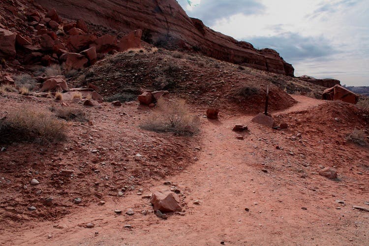
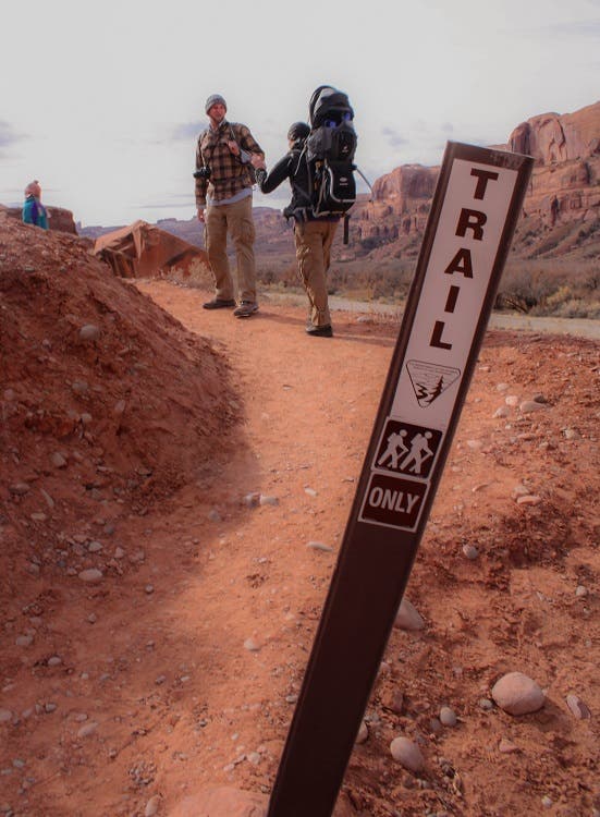
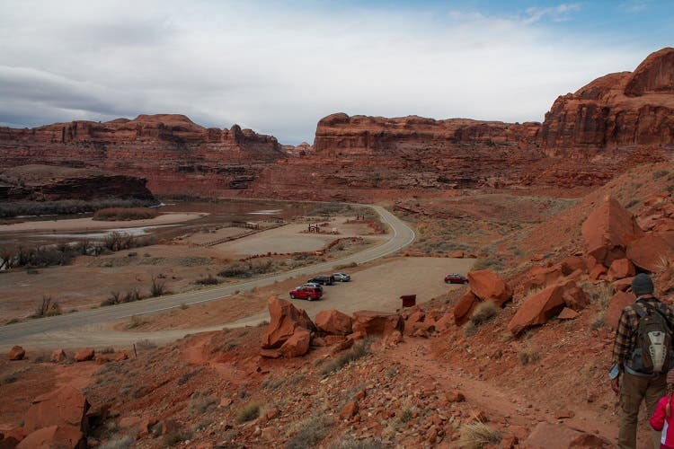
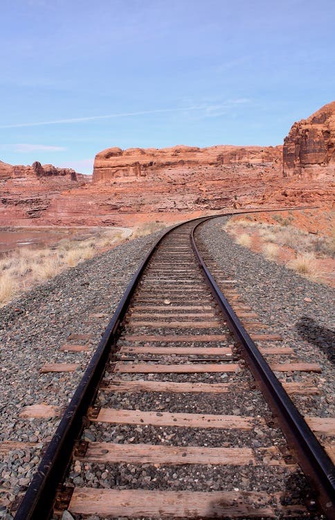
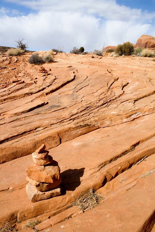
Parking for the 1.5-mile Corona Arch Trail is in the lot across the road from the Gold Bar Campground, which sits on the Colorado River. From the parking lot, the trail heads east up a short, dirt hill. At the top of the hill, the trail turns sharply north. Sign in at the BLM trail register before crossing over some picturesque railroad tracks that were built in 1964. A train hauling potash still runs on this track a few times a week during the day. There are nice views of the Colorado River to the west and Pinto Arch to the north. Round the corner on an old road, up through a wash and onto the slickrock (sandstone). From here, cairns mark the trail.
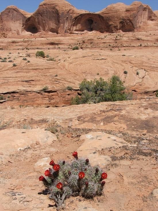
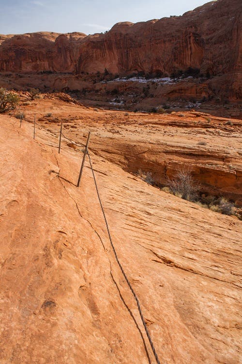
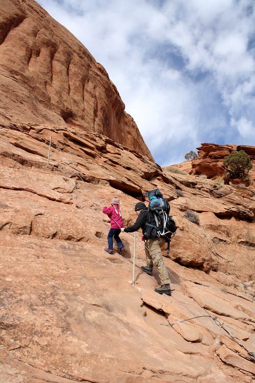
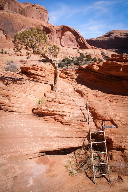
The trail leads you northeast through open desert. In the spring you can see the beautiful claret cup cactus flowers in bloom. In less than half a mile you’ll approach the base of some cliffs. As you round the corner under the cliff, stay on the north side of the safety cables. They’ll protect you from a 20-foot section of exposure. A couple hundred yards after the first set of cables, there’s another set to guide you up a very short, but steep section of steps carved into the sandstone. Just after this you’ll ascend a 6-foot metal ladder which helps you get on top of a ledge. The obstacle course is over and Corona Arch is now clearly visible ahead of you.
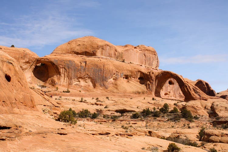
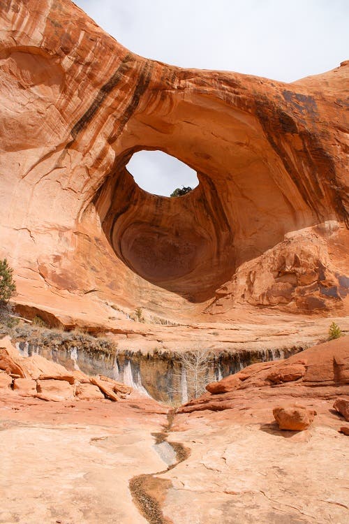
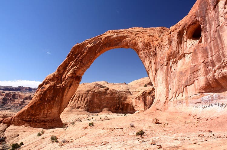
Hike northeast, following the contours of the cliff walls which brings you beneath Bowtie Arch. Bowtie is a pothole arch located in the cliffs above the trail. Continue east over to Corona Arch—a large, almost free-standing arch with a 140-by-105-foot opening. Retrace your steps back to the parking area and trailhead.
Bonus Vista
Feeling brave? On the east side (the far side) of the arch are some moki steps that you can climb in order to cross over to the top of the arch. It’s totally exposed and easier going up than coming down.
Random Information
– Pothole arches are formed when part of the wall or floor of a pothole breaks through and continues to erode. A natural arch of this type can only form if the pothole is near a cliff wall.
– There is little shade available on the trail, and in the winter, snow stays on the trail and can obscure cairns.
– Moki steps are holds carved into steep sandstone surfaces.

Trail Facts
- State: UT
- City: Moab
- Distance: 1.5
- Contact: utmbmail@blm.gov (435) 259-2100
- Land Type: BLM Land
Waypoints
CoA001
Location: 38.574682, -109.632513
Start well marked dirt trail from parking lot above campground.
CoA002
Location: 38.574663, -109.631599
Cross over train tracks. Continue NE on dirt trail. After 1/4 mile follow cairns across slickrock.
CoA003
Location: 38.577506, -109.623381
Stay north of the safety cable.
CoA004
Location: 38.578516, -109.622548
Climb up steps cut into slick-rock using safety cable. Then, climb up small ladder. Continue following cairns. Corona Arch now visible.
CoA005
Location: 38.580069, -109.620970
Corona Arch. From this point, turn around & retrace steps to trailhead/parking lot.
CoA006
Location: 38.580011, -109.620316
Corona Arch
CoA007
Location: 38.580004, -109.618974
Bonus: the moki steps that lead to the top of Corona Arch begin.