Published September 20, 2013 03:30PM
Milwaukee: Scuppernong Green Loop
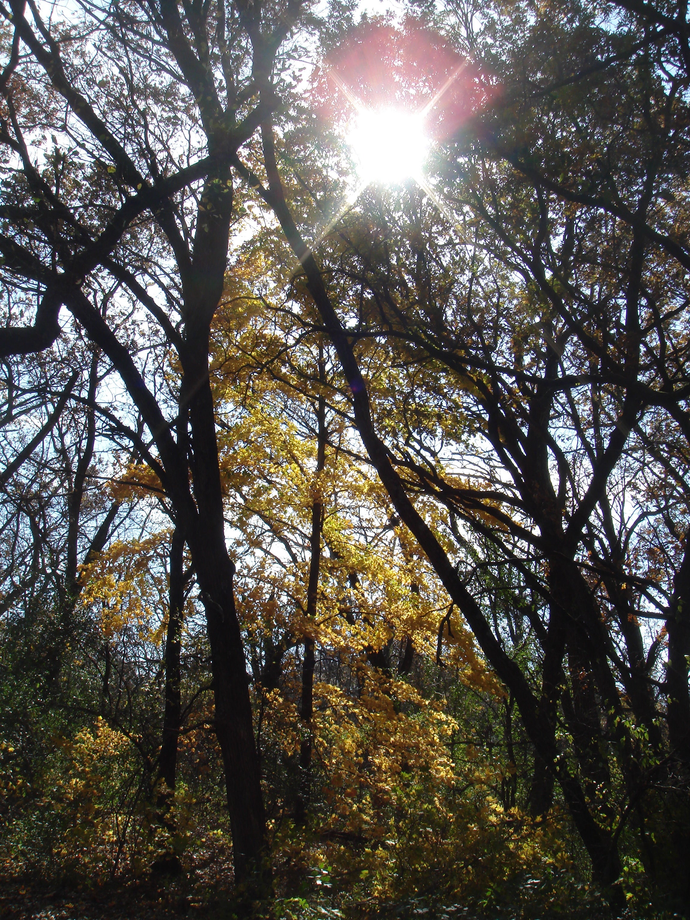
This 5-mile loop undulates through glacially tilled terrain under a hardwood canopy of magnificent fall colors in Kettle Moraine State Forest.
'D.L.'
Trail Facts
- Distance: 8.1
- Miles from city center: 26
Waypoints
GLM001
Location: 42.9408645629883, -88.4615631103516
Hike NW from trailhead
GLM002
Location: 42.9412307739258, -88.4621429443359
Triple Trail junction: Turn sharp R, heading NE
GLM003
Location: 42.946907043457, -88.4541015625
Veer R; follow green and orange blazes; group picnic spot on the R
GLM004
Location: 42.953311920166, -88.4485549926758
Ice Age Trail: Keep R, bearing 50 degrees while connecting green blazes
GLM005
Location: 42.9584732055664, -88.4479293823242
Campground with outhouse
GLM006
Location: 42.9562301635742, -88.4499893188476
Orange trail splits; stay on Green Loop
GLM007
Location: 42.9605827331543, -88.450439453125
Highpoint Green Loop: Fine views of Pine Woods Campground Rd.; go L and follow green markers into dense hardwoods
GLM008
Location: 42.9556732177734, -88.4518661499024
Turn R, bearing W
GLM009
Location: 42.9554138183594, -88.4543075561524
Junction with Ice Age Trail; keep straight
GLM010
Location: 42.9519958496094, -88.458740234375
Trail junction; Red Loop rejoins
GLM011
Location: 42.9498252868652, -88.4639587402344
Trails split again; stay on Green Loop
GLM012
Location: 42.944206237793, -88.4662094116211
ADVERTISEMENT
Continue on main trail, heading SE to WPT 2, then return to parking lot