Mena, AR: Buckeye - Caney Creek Loop

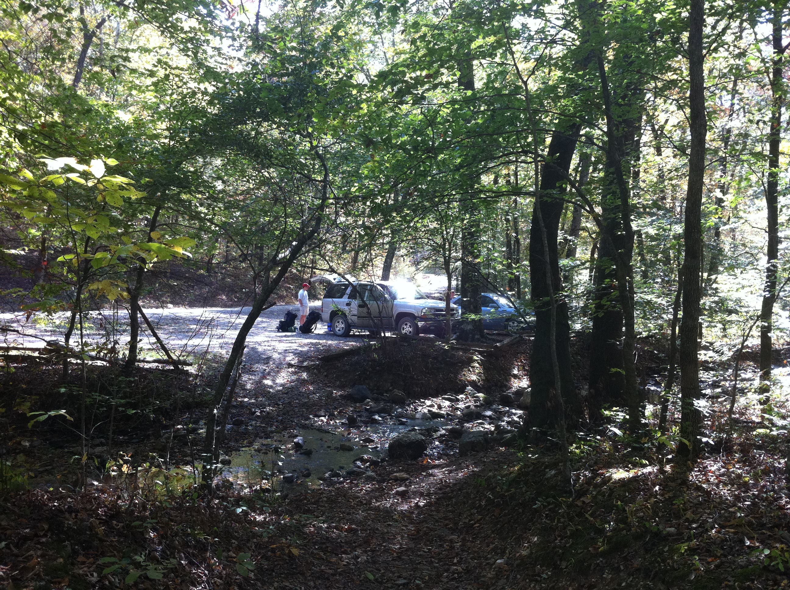
Start at the East Caney Creek trailhead and head north on CR64 for 1.1 miles and 500 feet uphill to the Buckeye trailhead. There isnt any water on the first half of this loop so stock up at the Blaylock creek next to the Caney Creek trailhead before heading out.
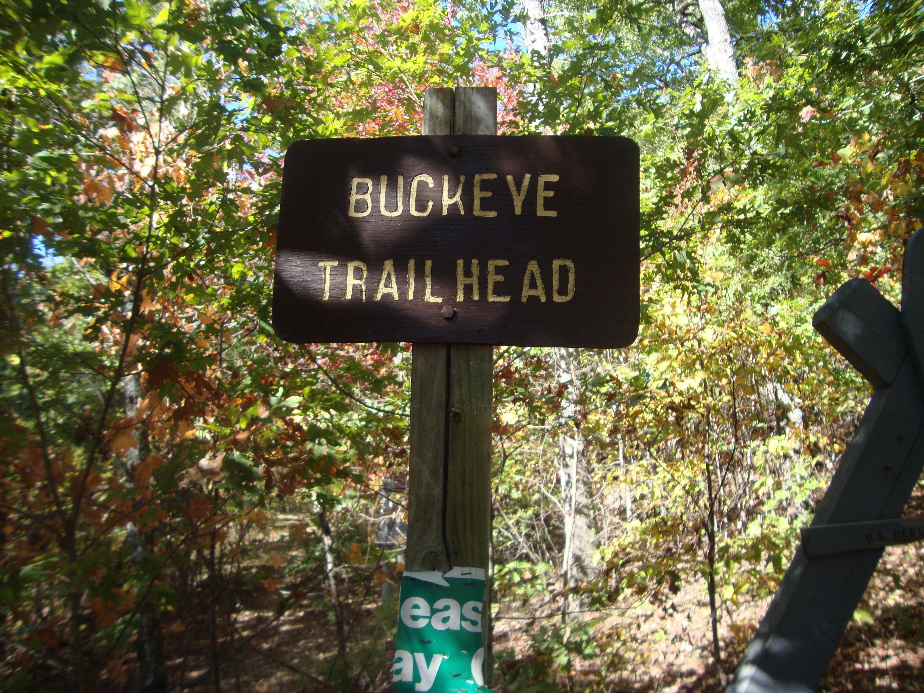
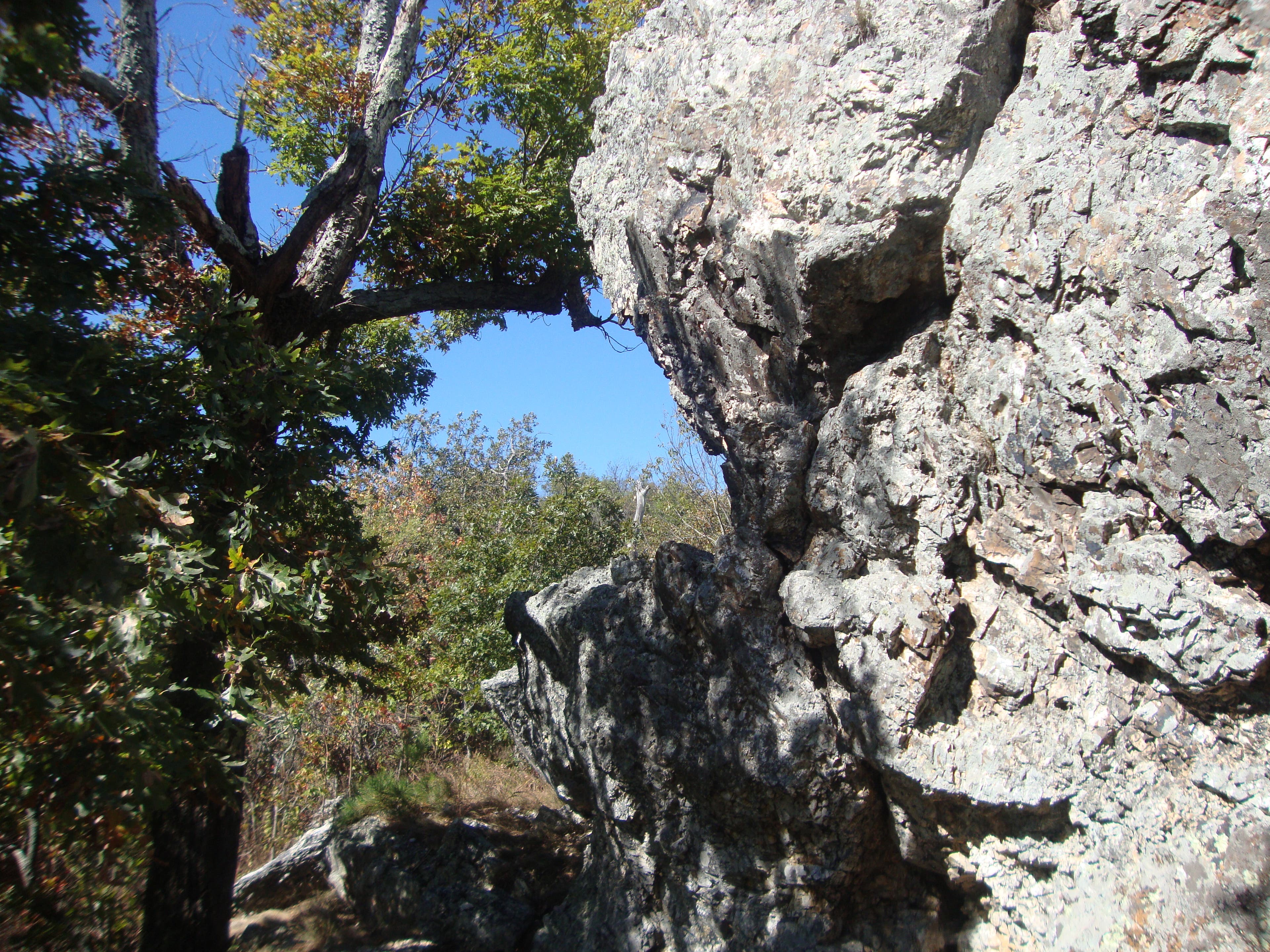
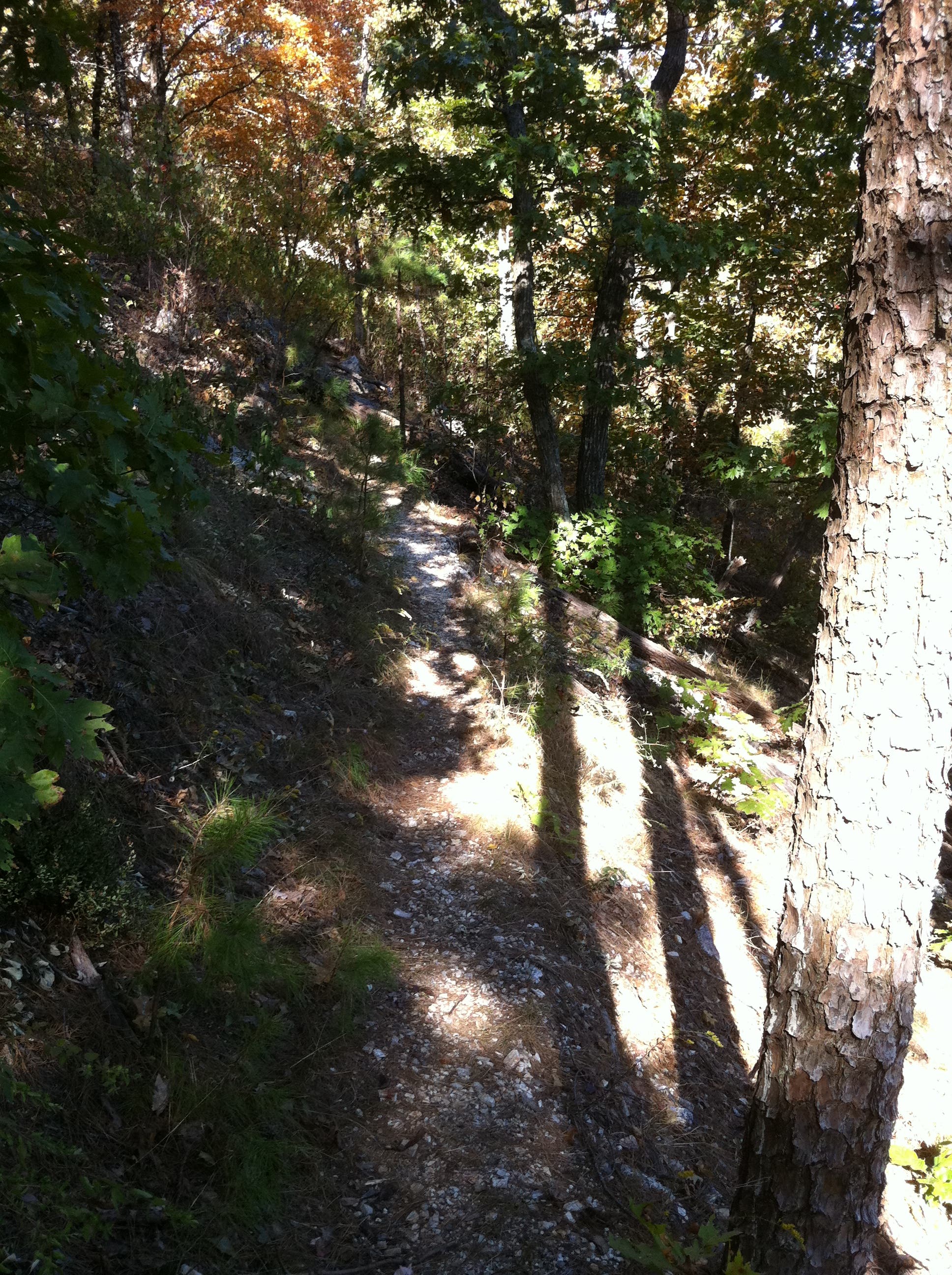
The Buckeye trail is mostly on the ridge of Buckeye Mountain. The trail isn’t marked. It begins at a small parking area off of CR64 and stays level for about .4 mile then begins to climb. At 1.7 miles there is a standing rock made of novaculite which is a good spot to take a break or eat some lunch if you are getting a late start like we did. Shortly after this area the trail is very hard to follow since there are many “false” trails going every way imageinable. Stay on the trail that ascends.
At about mile 2.1 you will reach the top of Buckeye Mountain which is the tallest point on this hike. The next 2.5 miles are on the ridge line of Buckeye Mountain headed toward East Hannah Mountain. At 4.6 miles the trail starts dropping toward the Caney Creek Valley to Katy Falls which is one mile away at the 5.6 mile mark. There are many downed trees along the trail toward the Caney Creek so be prepared to move over or around them.
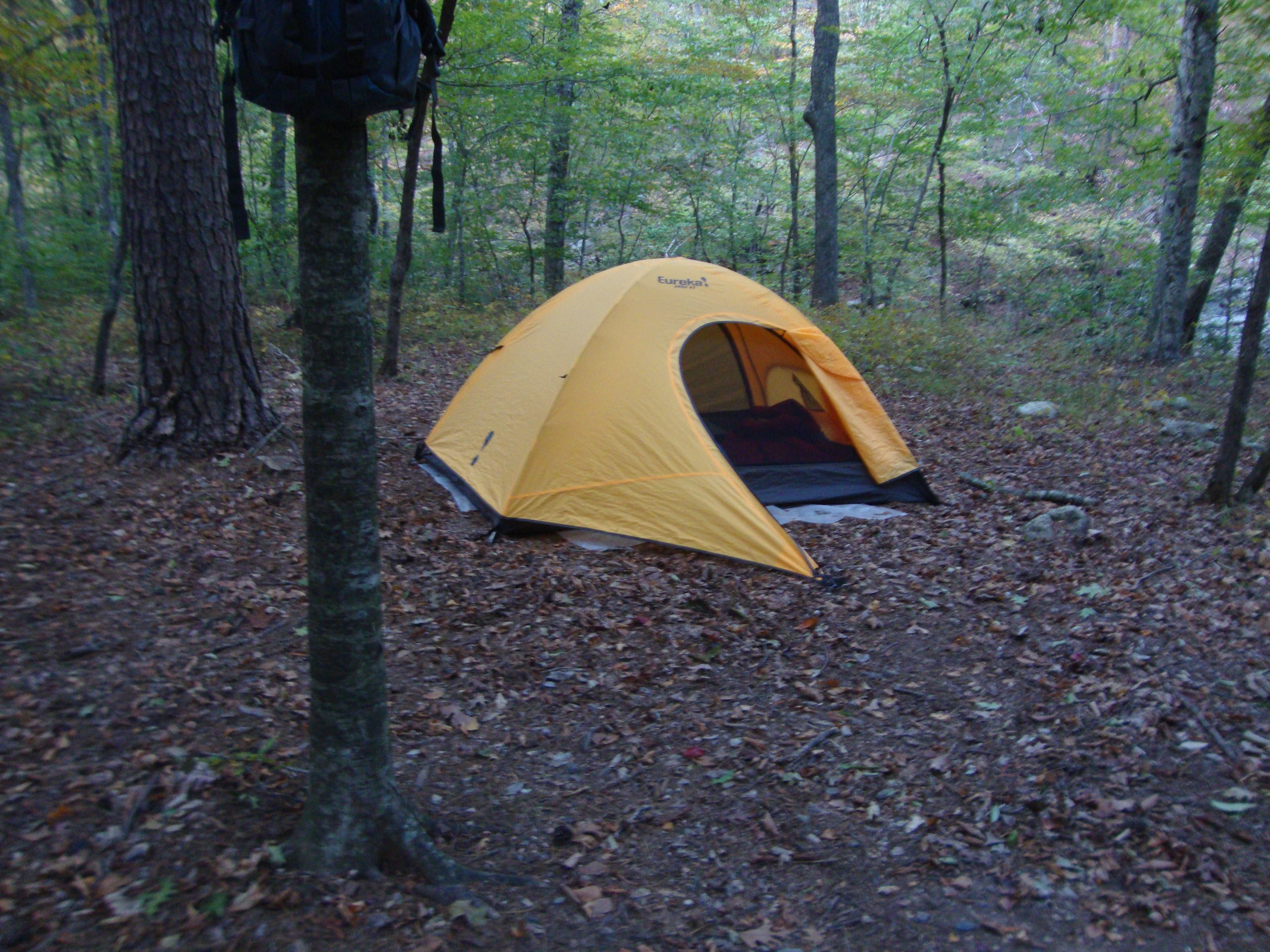
At mile 5.8 you reach the junction of Caney Creek Trail and the Buckeye. This trail isn’t marked either but is very easy to follow. We travelled back up the Caney Creek Trail to the right for .1 mile to the spur (marked with a crude cairn) leading off to the left toward a well-developed campsite (there arent any officially designated campsites along the loop but pleny of developed ones similar to the one we camped at). There was plenty of water right next to the campsite from the Caney Creek so we filled up here for the night and made some supper.
The next morning we headed east back up to the Caney Creek/Buckeye junction. After the junction you drop into the Caney Creek then a slight uphill into a nice flat stretch through the woods. This area is posted as no camping. RIght around mile 5.9 there is a well developed camp site on the south side of the trail. Luckily we stayed at the earlier camp site since there were lots of campers here already.
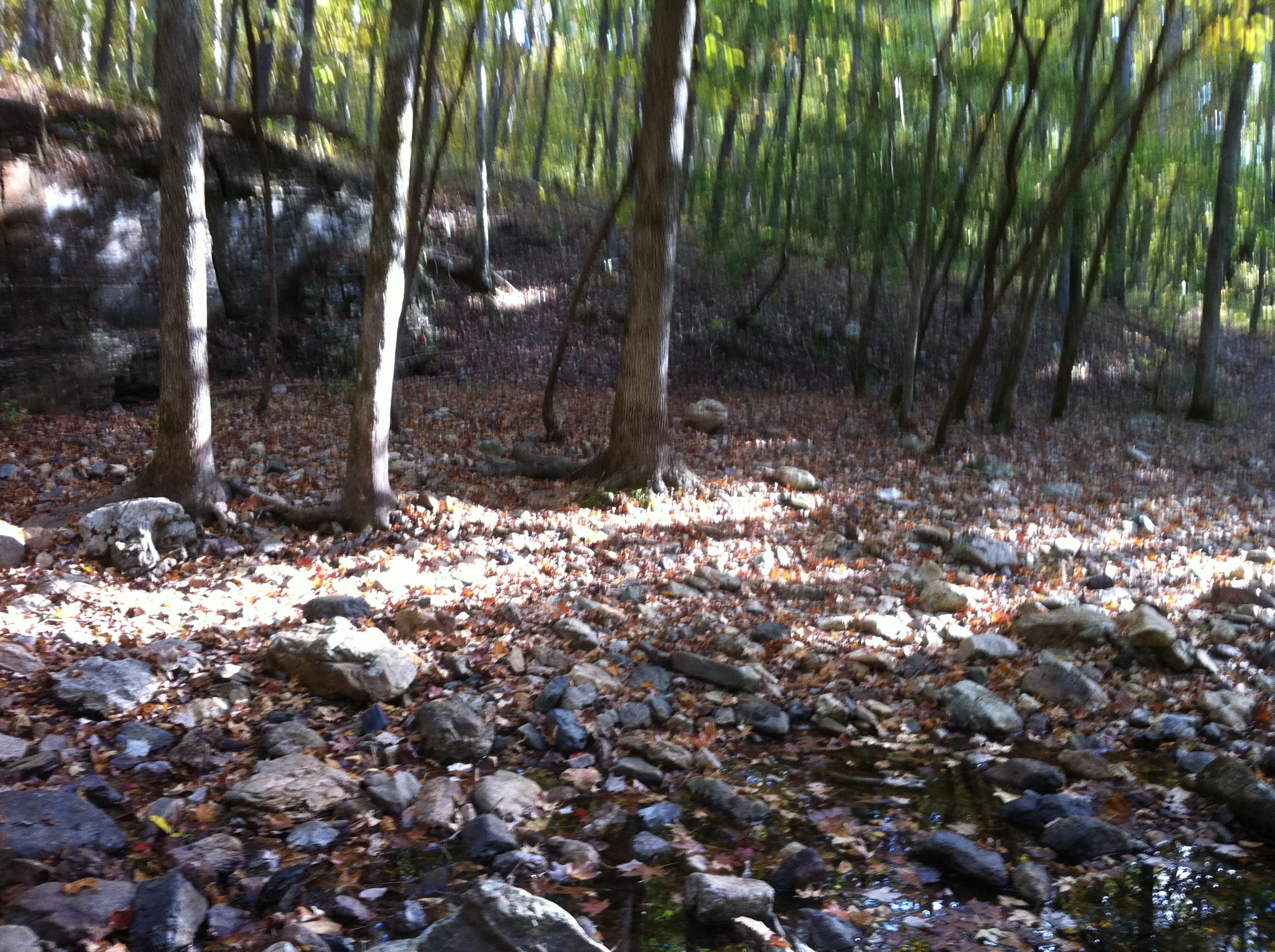
At mile 6.6 the trail crosses to the south side of Caney Creek. The creek was low due to drought like conditions they’ve been having this year, but there was still quite a bit of running water to fill up our water containers with. The trail picks up again across the stream and up stream a bit.
At the 9.6 mark the trail crosses Blaylock Creek and then ends at the CR64 parking lot.
-Mapped by Tommy Smith
Trail Facts
- Distance: 16.4
Waypoints
WPT001
Location: 34.396871, -94.022756
Trip starts at the Caney Creek trailhead (a wide spot on FR 38). There’s enough room for roughly 6 cars. Be sure to fill up on water here as there won’t be another chance until Katy Falls. Head north on FR 38 for 1.1 miles and 500 ft up to the Buckeye trailhead.
WPT002
Location: 34.408786, -94.028335
Buckeye trailhead: Some people will drop packs here and then drive down to the Caney Creek trailhead to park, then hike back up without packs.
WPT003
Location: 34.40517, -94.030303
Pass a large rock made of novaculite. This is a good place to take a quick break in the shade and enjoy some lunch or a quick snack.
WPT004
Location: 34.40573, -94.035
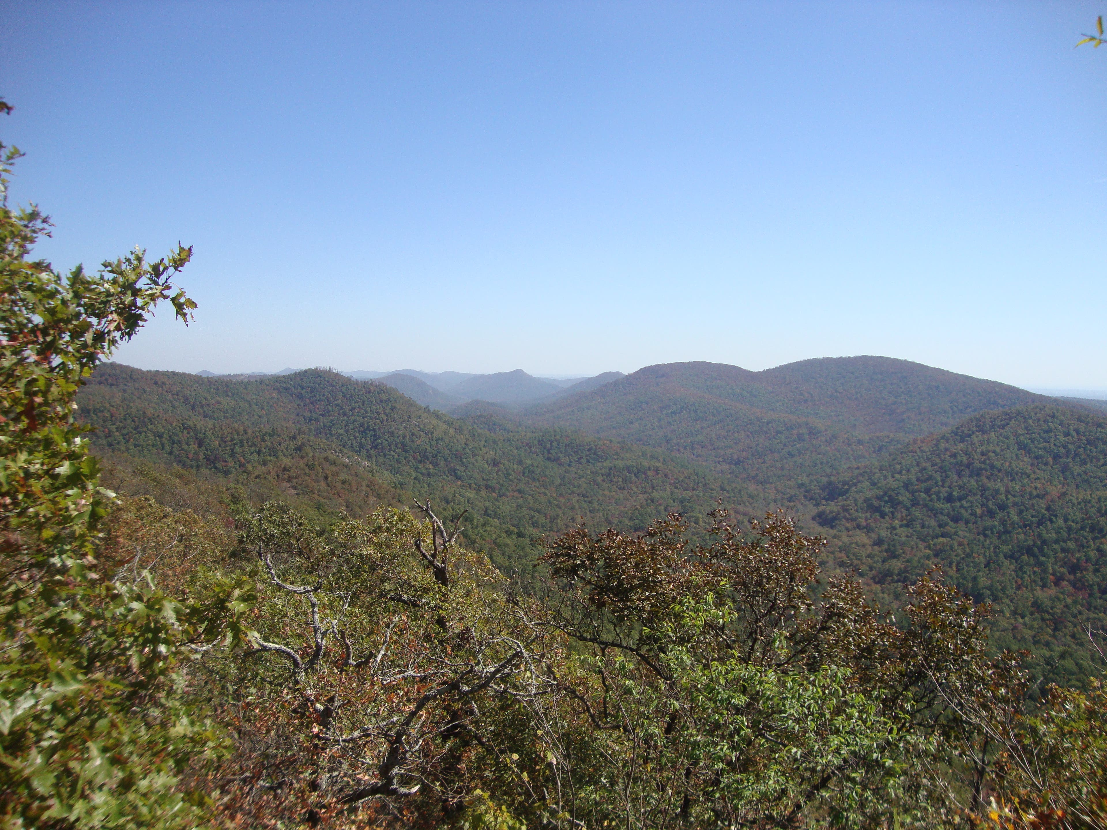
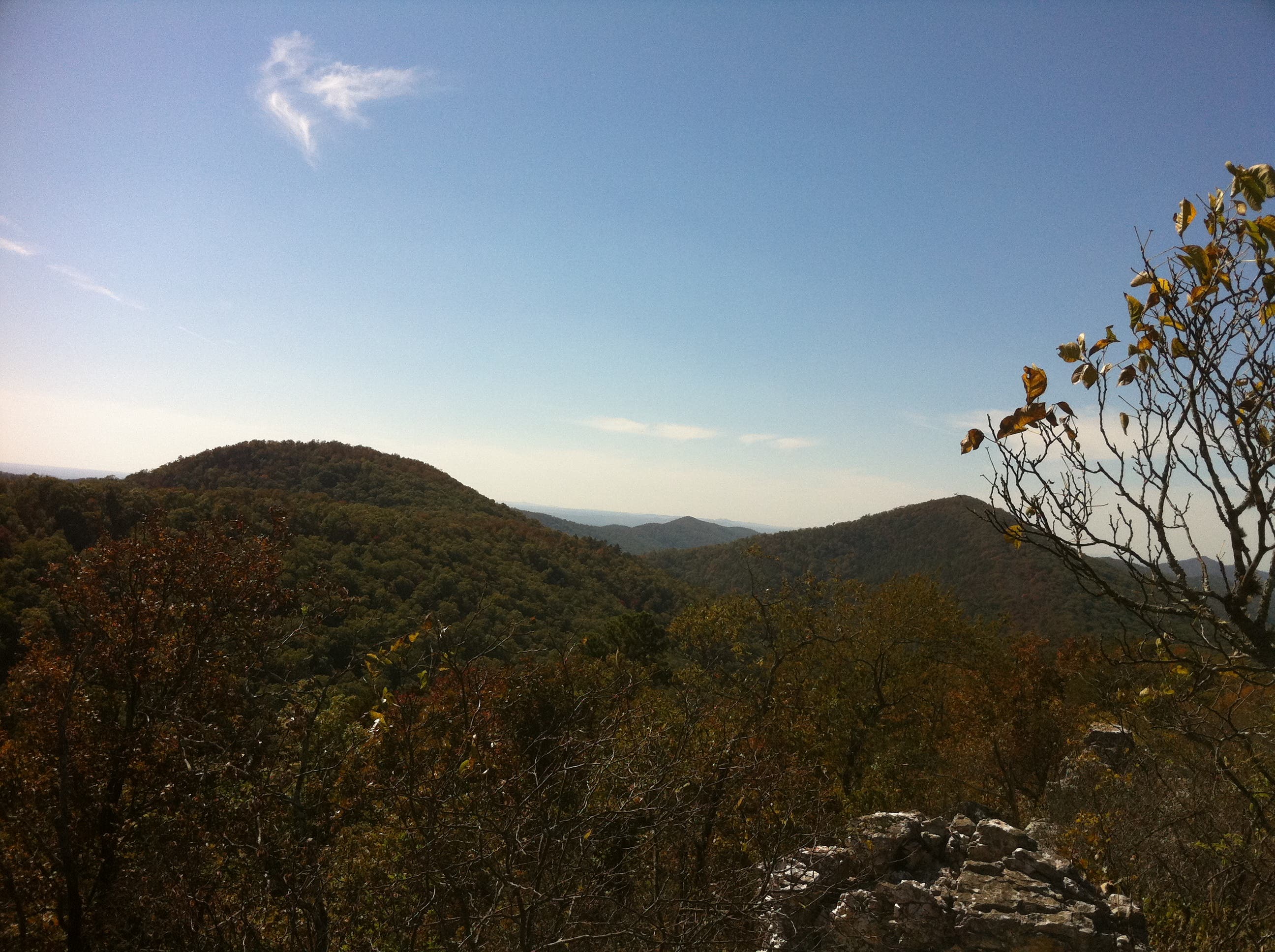
Vista with some awesome views of the surrounding area. Pay attention: The trail bears rights after this point (there are many false trails that can lead you astray).
WPT005
Location: 34.405883, -94.036682
At mile 2.1, you will reach the highest point on the hike, which is the top of Buckeye Mountain. From here, follow the ridgeline.
WPT006
Location: 34.407172, -94.076091
Start descending at mile 4.7. Watch for the trail split right below here and be sure to turn right. Move along the east side of East Hannah Mountain into the Caney Valley. It is 1 mile to the Katy Falls Spur.
WPT007
Location: 34.396995, -94.080863
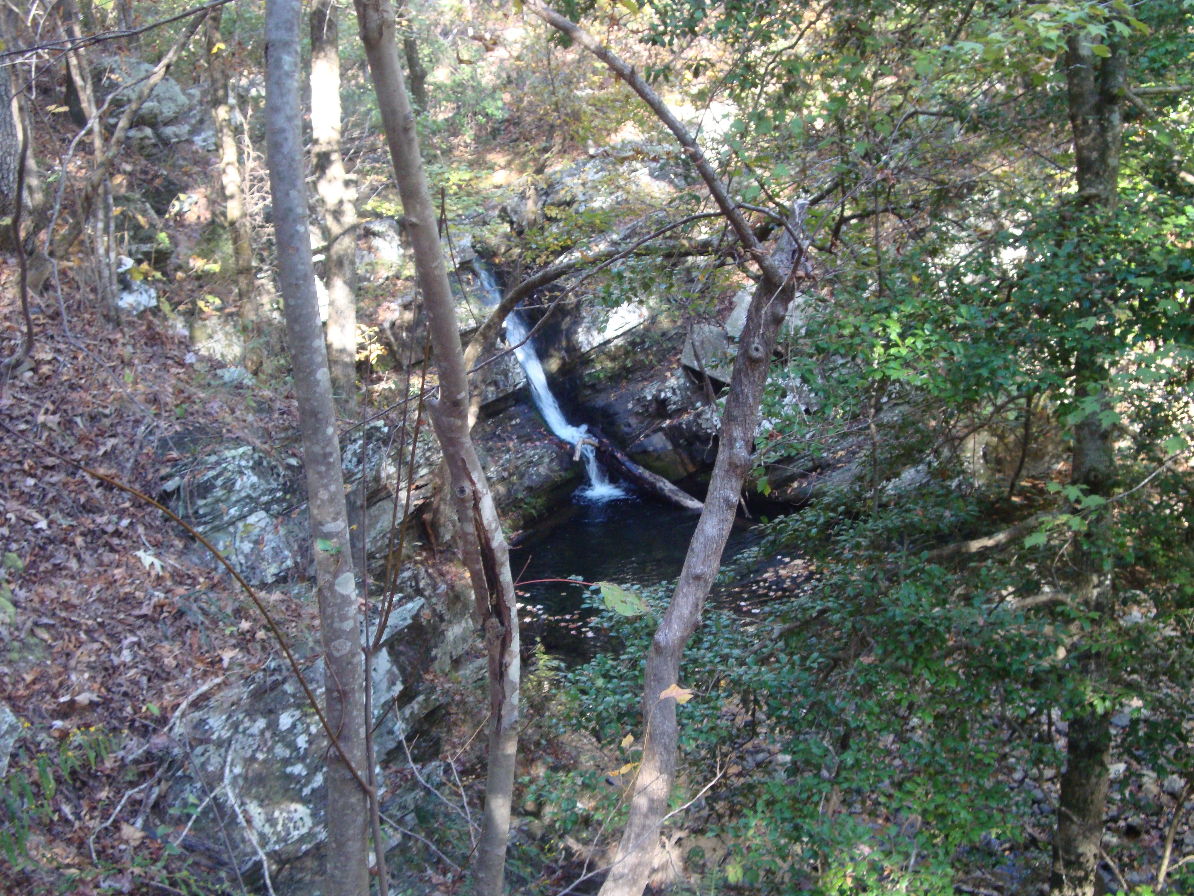
Katy Falls Trail Spur is marked with a crude cairn. This is the first chance for water since leaving the Caney Creek trailhead. From here back to the Caney Creek trailhead there are plenty of opportunities for water.
WPT008
Location: 34.395323, -94.081399
Buckeye Trail ends at the junction with Caney Creek Trail. Turn right here to camp at an official campsite, (the spur to the campsite is .1 mile up the Caney Creek Trail) or turn left to continue on the Caney Creek Trail.
WPT009
Location: 34.396145, -94.084854
Large campsite if you want to split the hike into 2 days. The camp is right next to Caney Creek so you have access to plenty of water while camping here.
WPT010
Location: 34.395406, -94.051255
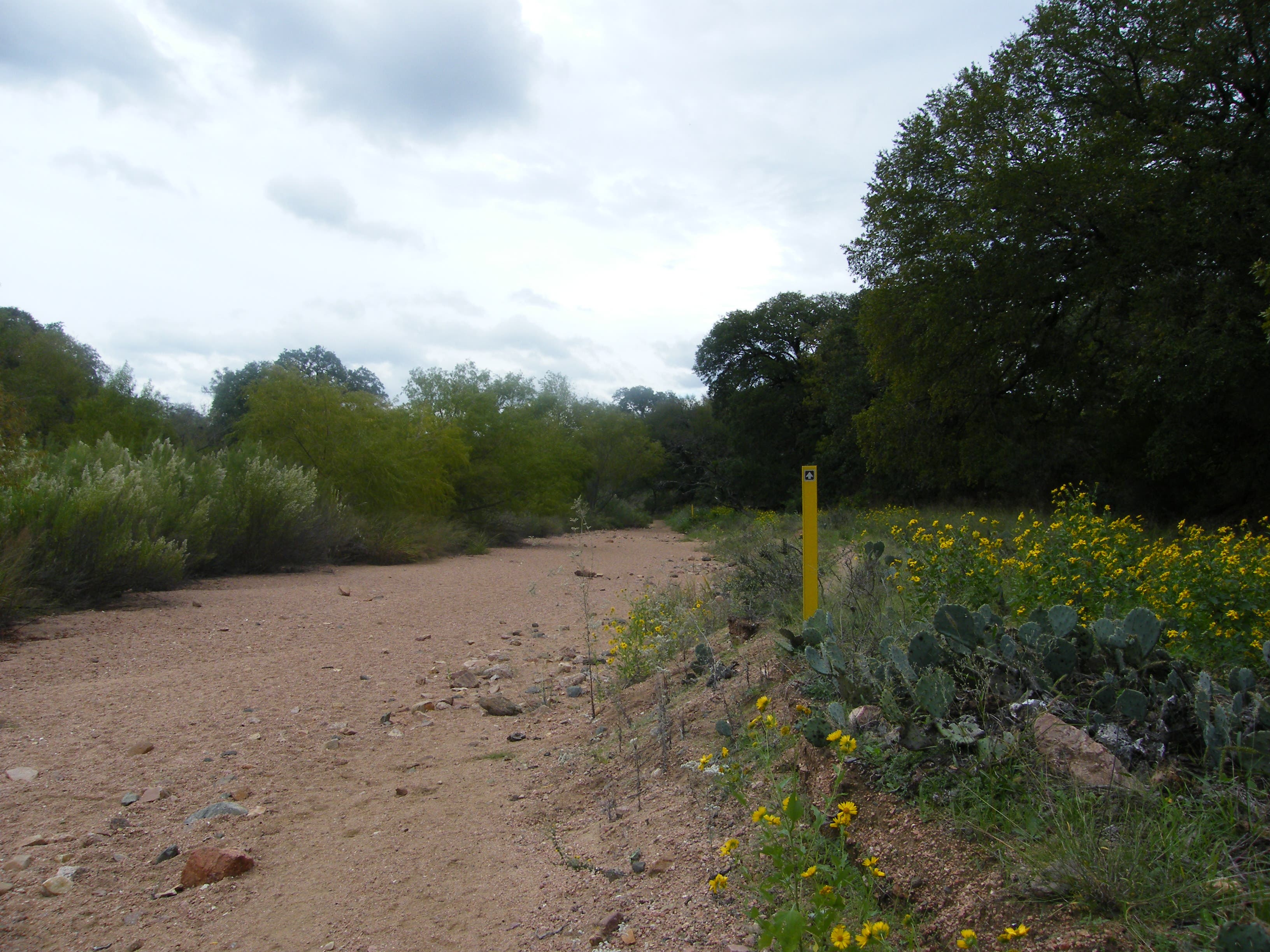
Trail crosses Caney Creek (you may get wet). Trail picks back up on the opposite side upstream.
WPT011
Location: 34.397274, -94.037299
Nice cool spot to take a break and have some lunch or quick snack before the last mile to the trailhead.
Creek Views
Location: 34.396884, -94.022681
View at the beginning of the Buckeye Caney Creek Loop. There’s a nice creek here to fill up on water before you begin.
Buckeye Trailhead
Location: 34.408804, -94.028308
Rock Formation
Location: 34.405179, -94.030228
First Vista
Location: 34.405757, -94.035138
Ridgeline Views
Location: 34.406441, -94.059352
Headed down the ridgeline
Location: 34.406667, -94.076333
View from above Katy Falls
Location: 34.396943, -94.080336
Campsite on Caney Creek
Location: 34.396335, -94.084863
Caney Creek Crossing
Location: 34.395397, -94.051182
Creek
Location: 34.397283, -94.037213