Published September 20, 2013 04:31AM
Hike of the Week: McKenzie River Trail, Eugene, OR
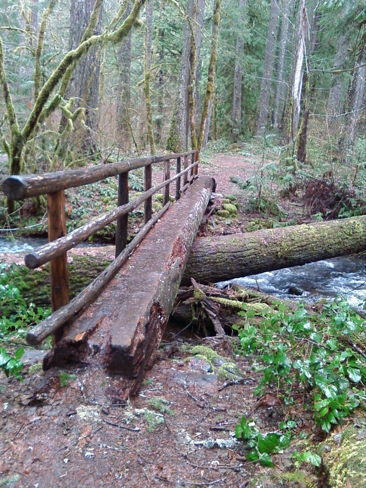
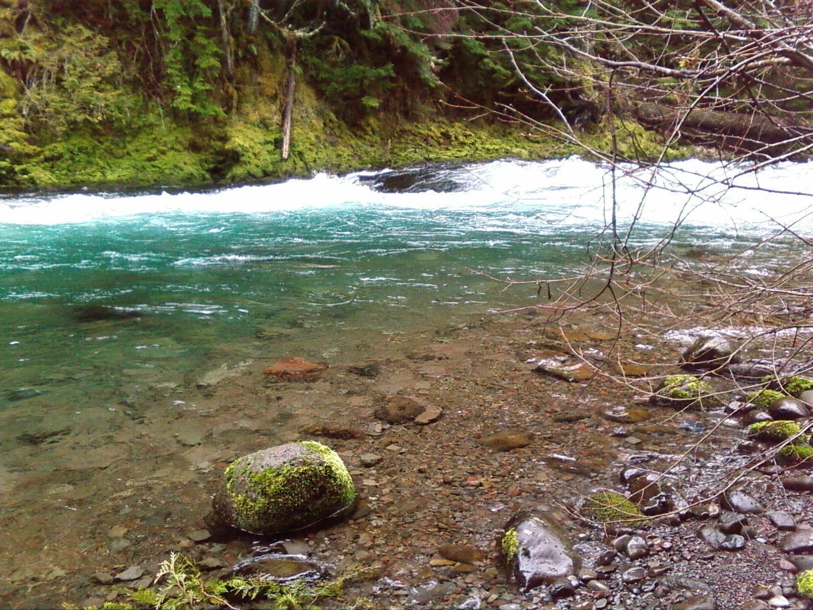
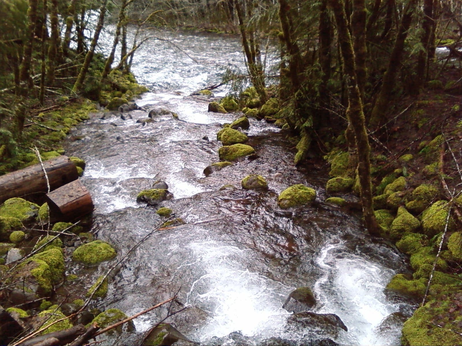
This easy-going, 1.9-mile section of the McKenzie River National Recreation Trail links Belknap Springs to NF-2650 past cascading creeks, moss-draped evergreens, and views of the roiling McKenzie River.


Trail Facts
- Distance: 3.8 miles (out and back)
- Time: 2 hours
- Difficulty: 1 out of 5
Summary
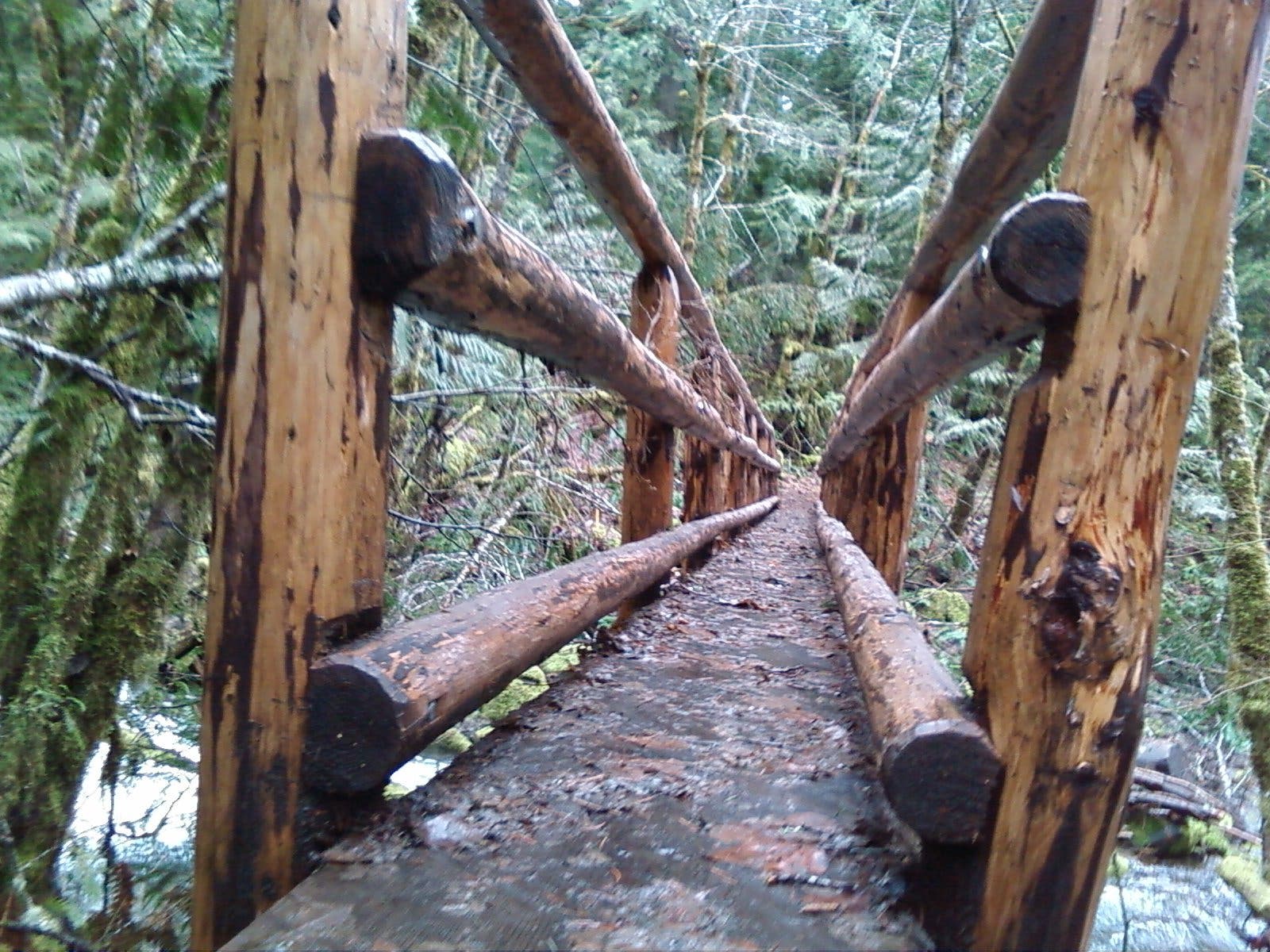
The McKenzie River National Scenic Trail stretches 26.5 miles from McKenzie Bridge to Fish Lake, following its namesake the whole way. This piece—from Belknap Springs to NF-2650—touches its best. From the Belknap Springs Resort parking area (44.1924, -122.0508), walk a short bit south to connect with the well-maintained trail, which squeezes between the river and OR 126. Turn hiker’s left and hike northeast on the mostly flat path, plunging into mossy forest and paralleling the river bed. Pass creekside campsites before continuing onto the turnaround point at NF-2650.

Tag us @backpackermag and #hikeoftheweek on Instagram, Twitter, or Facebook if you do this Hike of the Week.