McClellan Butte

We took a moment, while gearing up at the McClellan Butte trailhead, to think about the many months we had been waiting to ascend the snow-covered crags we’d spied on so many of our previous hikes. Each time we glimpsed the exposed rock that seemed to be bursting forth from the forested mountain reaffirmed our desire to claim the peak. So it was with much anticipation that we took our first steps on the trail.
McClellan Butte was named for George B. McClellan, a future Civil War general who undertook a survey of the Cascades for the Pacific Railroad in 1853 in the search for an appropriate mountain pass for the proposed transcontinental railway. This early survey proved inadequate, with McClellan overlooking a number of viable options including Snoqualmie pass where his namesake butte now resides. Unsurprisingly, in keeping with his dubious prowess as a surveyor and general, geologically speaking McClellan Butte is not a butte at all. Instead, it is a “horn peak”; a classic glacial formation much like the Matterhorn of the Swiss Alps. The volcanic rock that makes up McClellan Butte was slowly eroded over millions of years by Ice Age glaciations, forming the sharp-peaked precipice we see today.
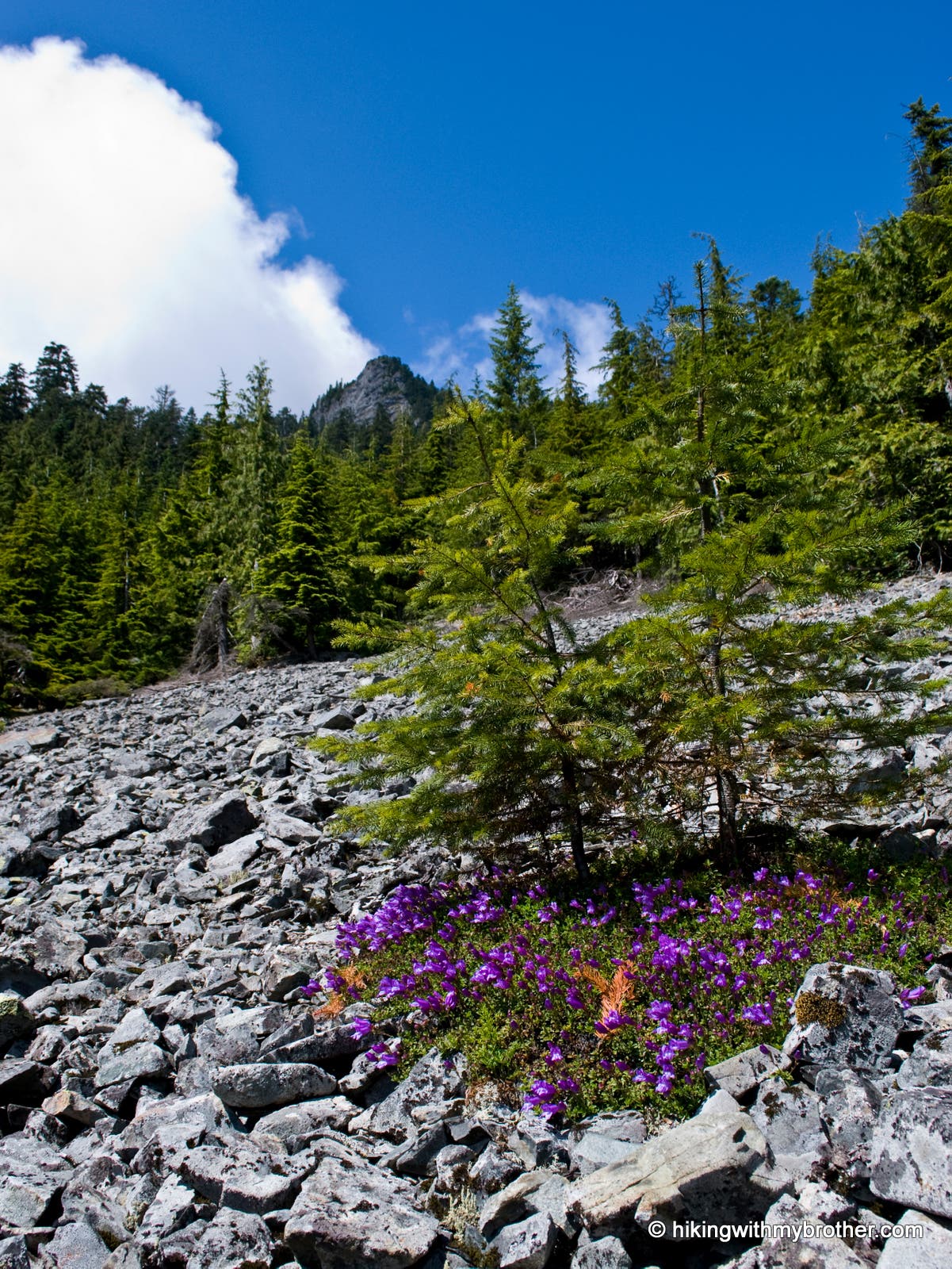
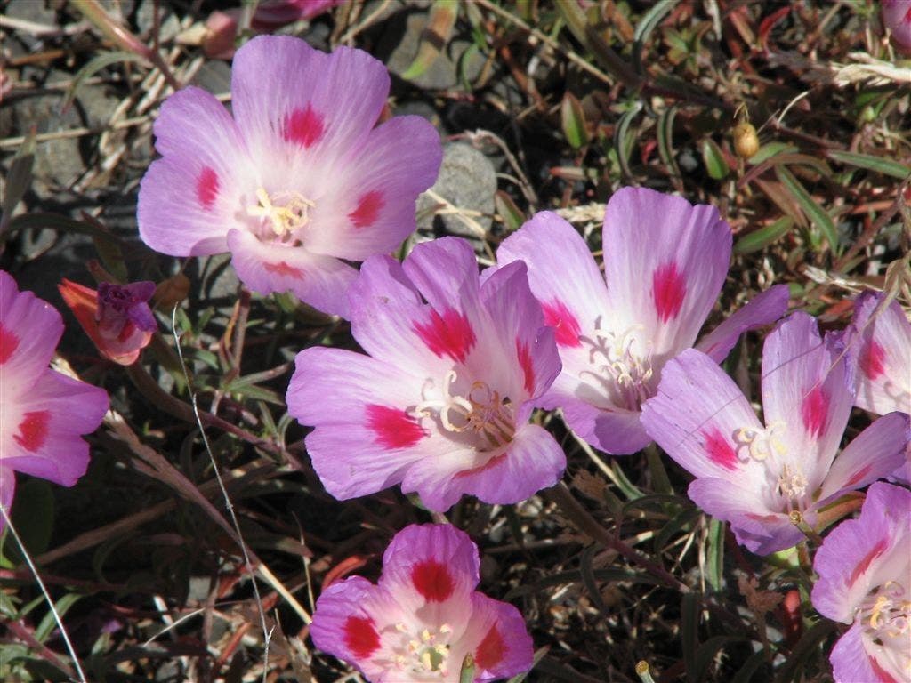
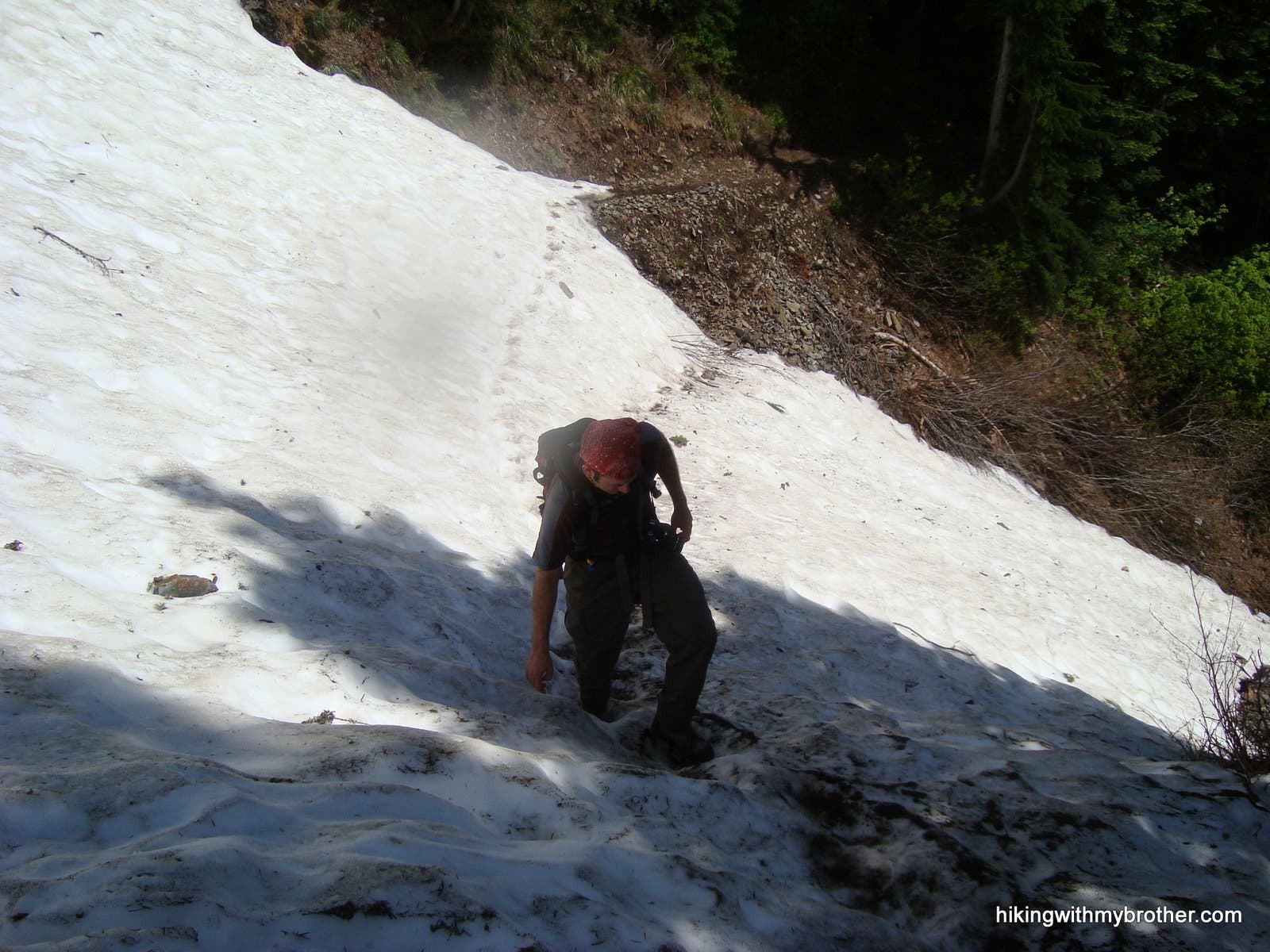
The recently improved McClellan Butte Trail #1015 hits the grade almost immediately, quickly crossing the Iron Horse Trail and Forest Road 9020 within the first mile. Relentlessly, the trail forges upward between branches of hemlock and cedar, through talus fields, and over streams of runoff. At the right time of year, as the snow recedes, wildflowers mob any open space between the rocks in avalanche chutes on the east face of the mountain. As you continue to gain elevation you’ll slowly leave the trail improvements behind and be forced to negotiate the still rocky and root-gnarled route to the top. Two-thirds of the way through the hike, the trail abruptly turns around the mountain revealing Chester Morse Lake and views of Mt. Rainier in the distance before again turning to continue up the west face. Here snow lingers much later in the year. The unexpected snow can cause complications for the unprepared, so bring along some hiking poles to give you some extra stability as you traverse the steeply-slanted snow fields.
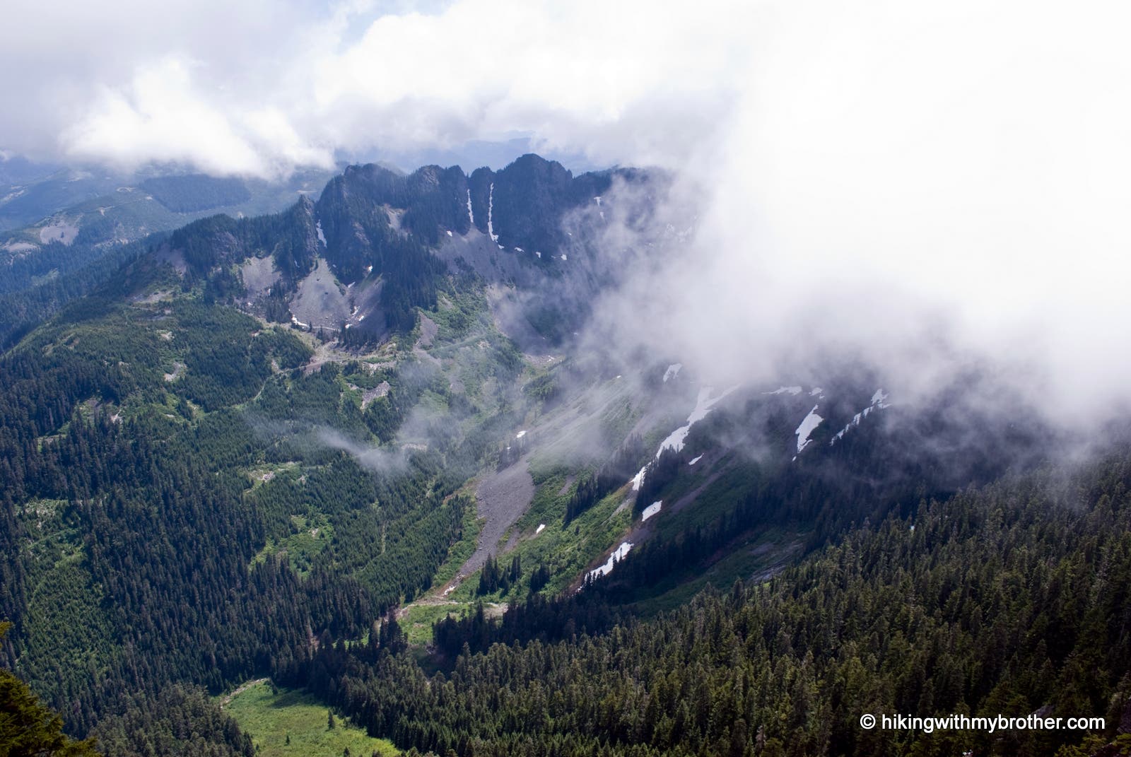
The trail officially ends about 100’ below the exposed summit, on a small sparsely-treed plateau – perhaps it was here that the long-gone 1930s era fire lookout cabin once stood. The views here are almost as good as can be had if you continue on; Mt. Kent and Bandera Mountain to the east, Mailbox Peak and Mt. Defiance stand directly across the valley, while to the west Mt. Washington and Mt. Si can be seen. To the south Mt. Rainier dominates the skyline above the watershed. Experienced hikers can scramble up the last hundred feet, mindful of the long drop at the end of the rocks. Here and there, you’ll scramble over the decaying pipes and cables, all that remains of the radio beacons that once guided planes through the pass. McClellan Butte has claimed more than a few lives over the years so use your best judgment before clambering up. The view from the summit is a 360-degree version of what was below, with most of the satisfaction coming from looking down from the rocky crags we’d seen from the freeway.
McClellan Butte is the perfect alternative to Mt. Si if you’re looking for a good training hike without the crowds. In high summer and early fall, once all the snow has finally melted away, the hike should not pose too much difficulty for the whole family to reach the top. While a steady uphill climb, frequent openings in the treeline offer ideal places to catch your breath before pushing onward. While the views are similar to many of the other peaks in the area, the allure of the exposed crags with the minimum of mileage to get there makes this a great hike.
Consider following us at http://www.hikingwithmybrother.com


Trail Facts
- Distance: 8.0
Waypoints
MB001
Location: 47.4122179, -121.5892414
McClellan Butte Trailhead #1015.
Trailhead Marker
Location: 47.4121748, -121.5890408
MB002
Location: 47.4067752, -121.5895391
Trail Junction. Turn Right.
MB003
Location: 47.4121853, -121.5959072
Iron Horse Trail Crossing. Continue straight on McClellan Butte Trail.
MB004
Location: 47.4087907, -121.6025163
Crossing forest road 9020. Continue Straight. It is possible to drive to this point by following the forest road for 2.6 miles from Exit 38/39. However, this is not recommend as the road is not in great shape.
MB005
Location: 47.4106856, -121.602021
Cross a small foot bridge.
View of destination
Location: 47.409866, -121.6091466
Look up the talus field to see McClellan Butte jutting out of the forest.
Wildflowers
Location: 47.408225, -121.6110134
Wildflowers pepper the slopes for much of the trail.
Snow Pack
Location: 47.4042314, -121.6190815
Crossing a late season snowpack on the way to the top.
Chester Morse Lake
Location: 47.3990464, -121.6271496
Partial view of the east end of Chester Morse Lake can be seen along this section of trail.
MB006
Location: 47.4062848, -121.6226577
Start of the scramble to reach the top. This section in front of you is the steepest portion. Use extreme caution. Even though it looks steeper, follow the route just below the right side of the ridge line. This route is well tracked and is free of a lot of loose rock.
Scramble Approach
Location: 47.4062645, -121.6225362
Shot of the rocky scramble to the top.
Top View
Location: 47.4067438, -121.6222465
View looking east from the summit.
MB007
Location: 47.4069616, -121.6216779
Trail ends at the cliff drop off.
Looking down
Location: 47.4069761, -121.6217637
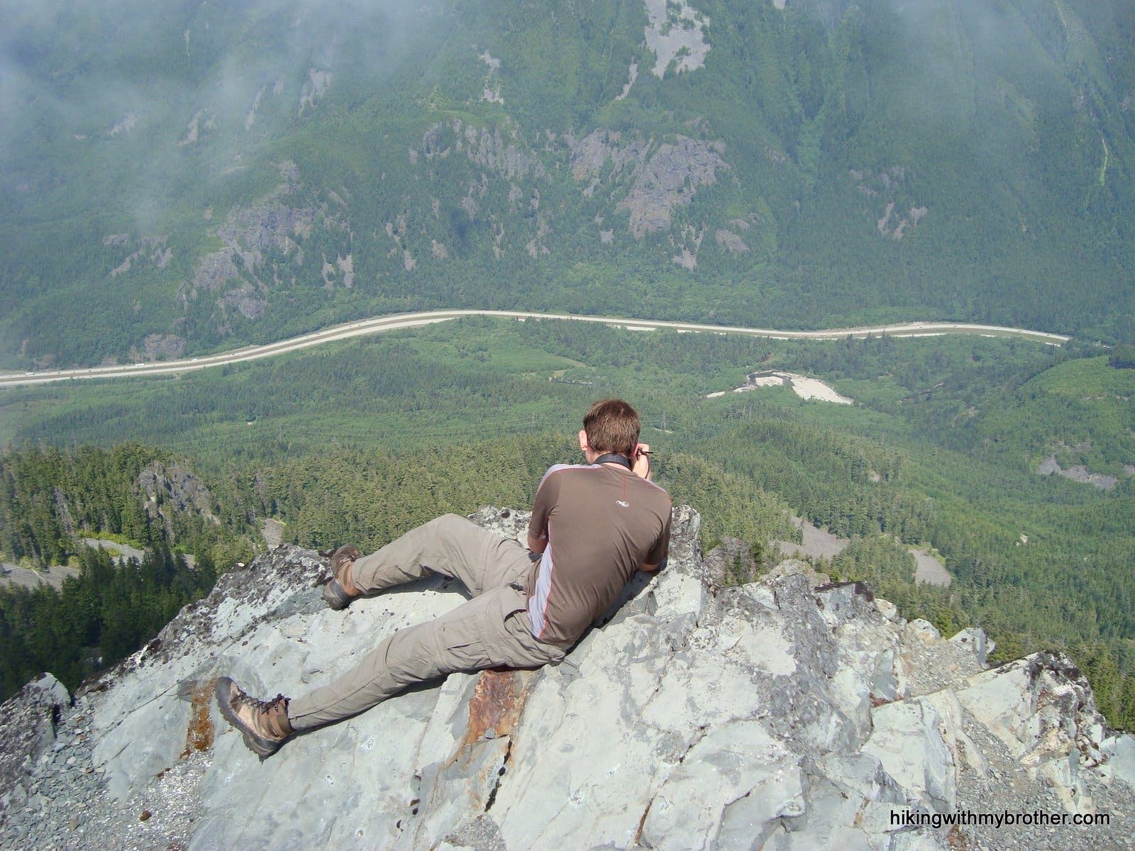
Lying on the edge of the butte photographing the scene below.
Kicking up the feet
Location: 47.4069543, -121.6217101
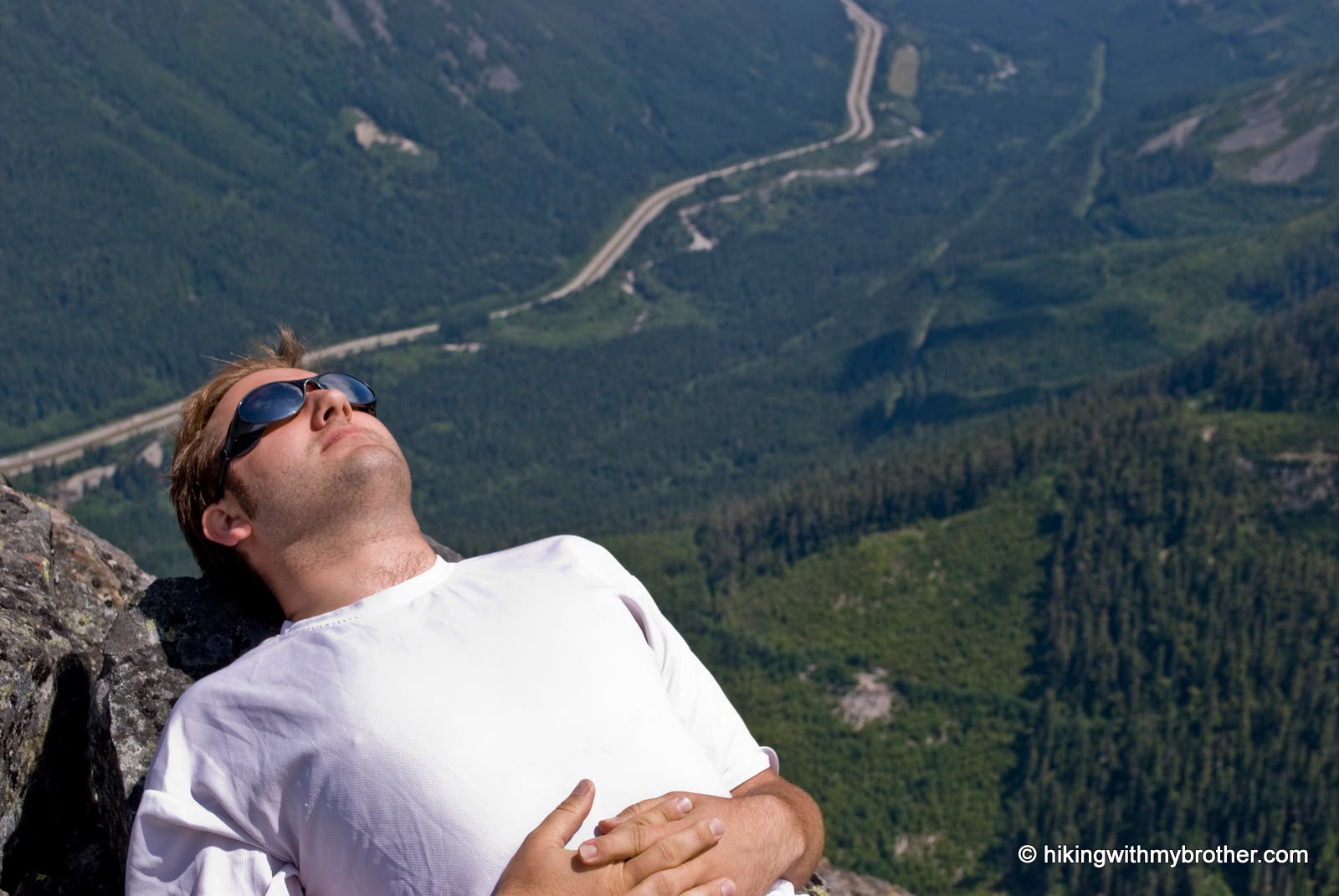
Relaxing on the rocks at the summit. The valley floor and I90 are in the distance.