Heading out the door? Read this article on the new Outside+ app available now on iOS devices for members! Download the app.
-Mapped by Paul Ouellette
Trail Facts
- Distance: 3.9
Waypoints
MTT001
Location: 43.0840187072754, -71.1740798950195
Head NW on Mountain Trail through shaded forest
MTT002
Location: 43.0839309692383, -71.1753311157226
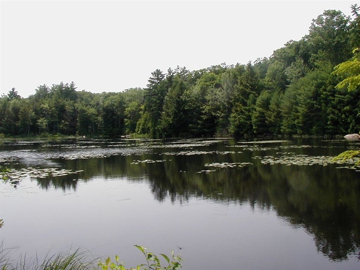
Pass by Mountain Pond, a quiet, wooded pond covered with lily pads
MTT003
Location: 43.0872192382812, -71.1802673339844
Continue NW
MTT004
Location: 43.0882797241211, -71.1811828613281
Stay on Mountain Trail as it veers R
MTT005
Location: 43.092529296875, -71.1799697875976
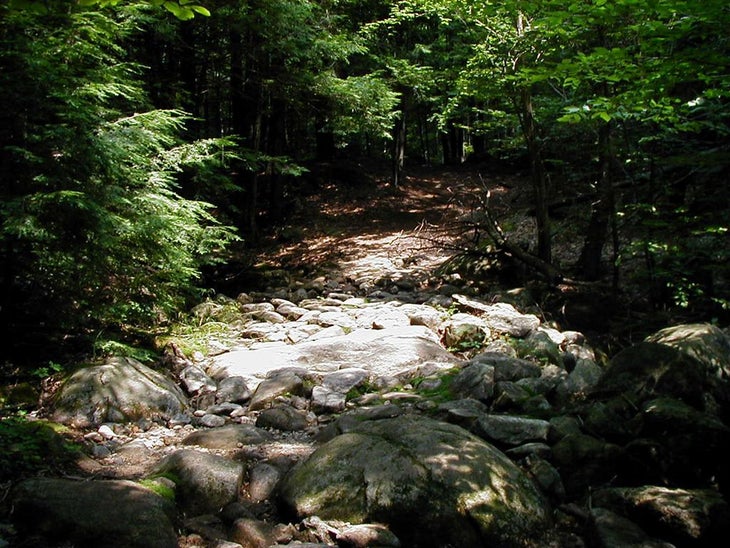
Cross a shallow, bubbling stream on large rocks; on L, small waterfall splashes
MTT006
Location: 43.0973815917969, -71.1817016601562
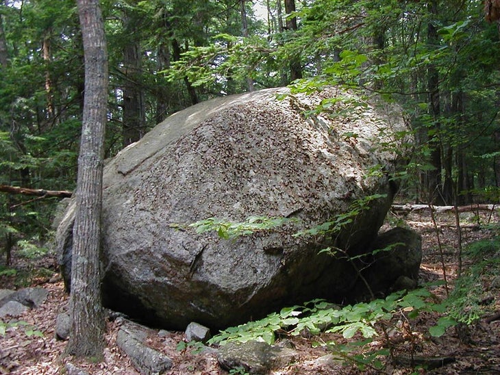
Pass a lone, giant lone boulder nestled among the trees; trail curves NW on dirt trail
MTT007
Location: 43.0975112915039, -71.1840209960938
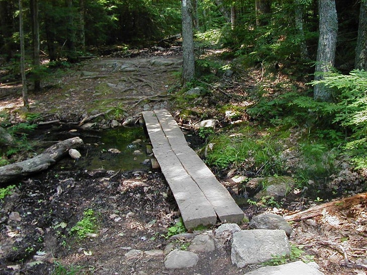
Cross a soggy marsh on a narrow split log bridge
MTT008
Location: 43.0996589660644, -71.1893005371094
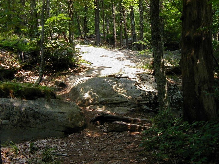
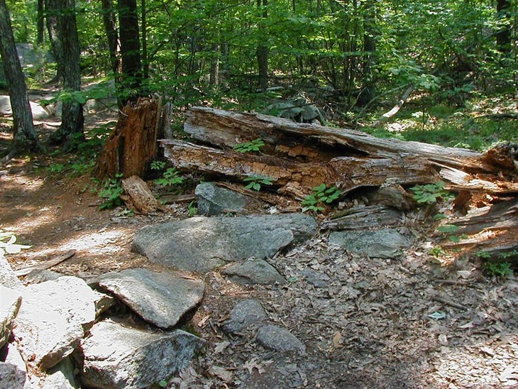
Turn R @ trail marker 5 jct.; trail swings NE. In .1 mi., climb over a short rock wall; begin moderate ascent of South Mountain on large, flat rock slabs
MTT009
Location: 43.1006317138672, -71.1853866577148
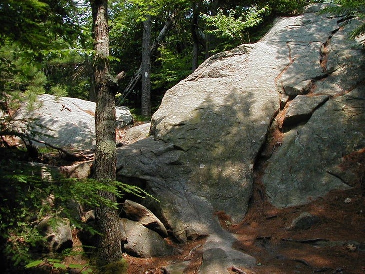
Follow white blazes through trees for final push to summit; large, moss-speckled boulders stand in the path
MTT010
Location: 43.1019706726074, -71.1811904907226
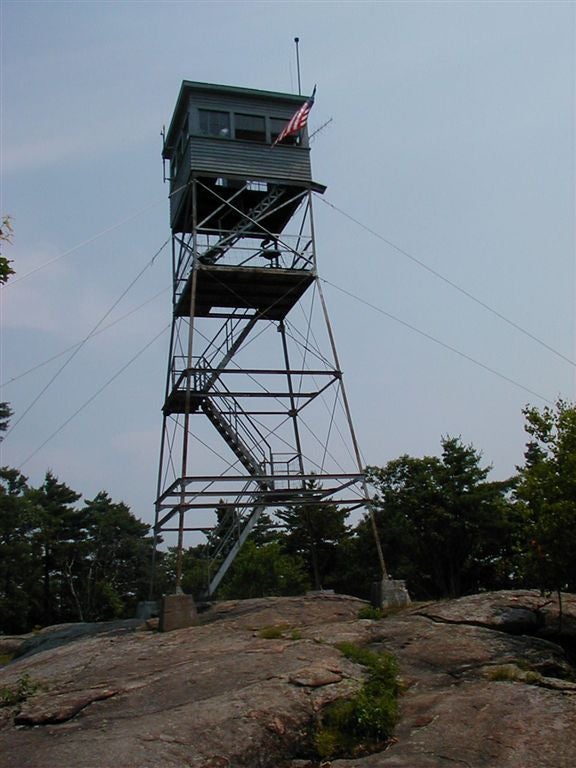
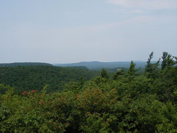
Climb the fire tower or peer over rock ledges for unobstructed views of rolling, wooded hills; on clear days, look for Boston’s skyline to the S. Retrace steps to car
Mountain Pond
Location: 43.0840225219727, -71.1755599975586
©Paul Ouellette
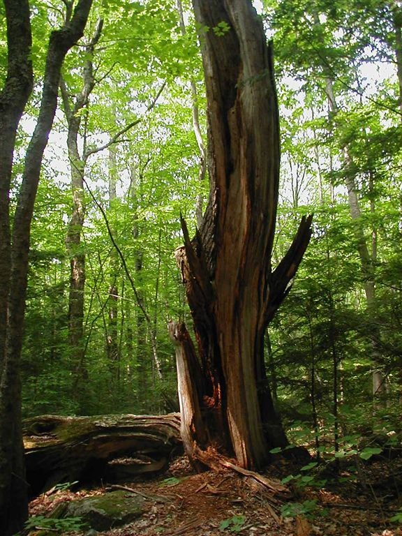
Crooked Tree
Location: 43.087574005127, -71.1807022094726
©Paul Ouellette
Rocky Stream
Location: 43.0927467346191, -71.1798400878906
©Paul Ouellette
Lone Boulder
Location: 43.0971603393555, -71.1829071044922
©Paul Ouellette
Split Log Bridge
Location: 43.097541809082, -71.1843566894531
©Paul Ouellette
Rocky Terrain
Location: 43.0994720458984, -71.1882553100586
©Paul Ouellette
Small Rock Wall
Location: 43.0995750427246, -71.1888732910156
©Paul Ouellette
Rocky Passage
Location: 43.1010589599609, -71.1832885742188
©Paul Ouellette
Fire Tower
Location: 43.101749420166, -71.1811141967774
©Paul Ouellette
Summit Views
Location: 43.1019554138184, -71.1807708740234
©Paul Ouellette